Burnt Oak

Settlement in Sussex Wealdon

England

Burnt Oak

Stone Cross Road - 30 limit ahead Also a warning that there is no footway for 270 yards (247 m for those puzzled by that).
Stone Cross Road - 30 limit ahead Credit: Robin Webster

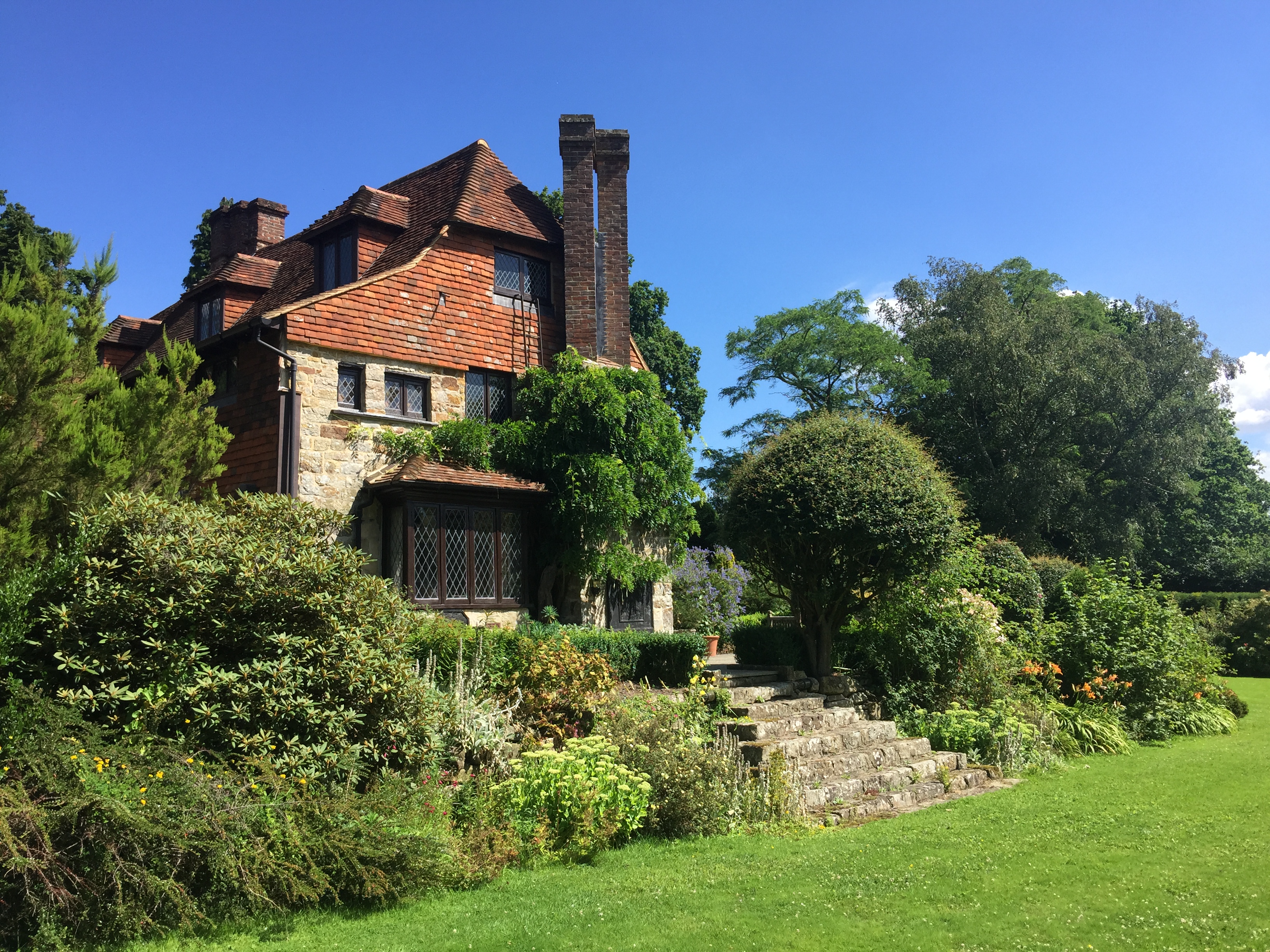
Burnt Oak is a quaint village located in Sussex, a historic county in the southeast of England. Nestled amidst picturesque rolling hills and lush countryside, this charming village offers a tranquil escape from the hustle and bustle of city life. With a population of around 500 residents, Burnt Oak exudes a tight-knit community atmosphere.

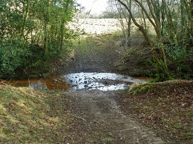
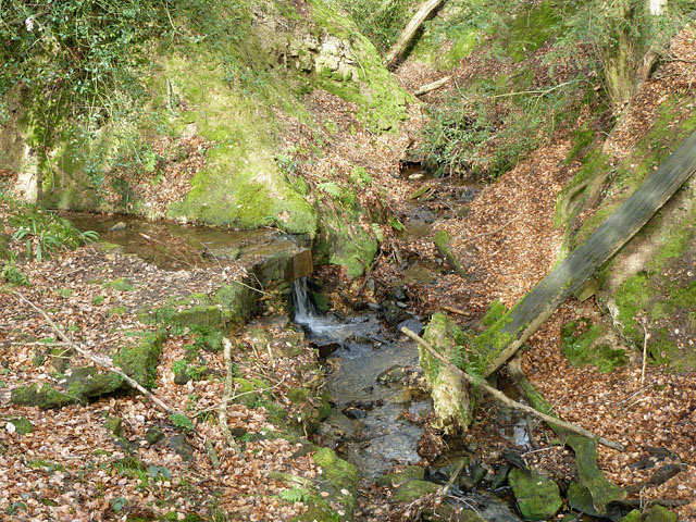
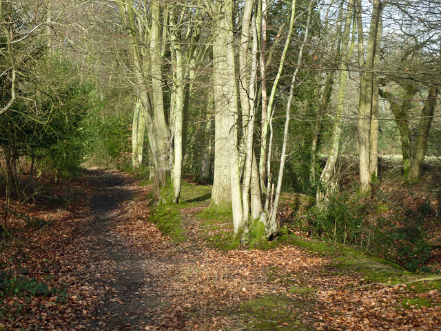
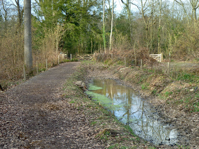
The village is renowned for its idyllic natural surroundings, boasting stunning landscapes that attract nature enthusiasts and hikers alike. Visitors can explore the nearby Ashdown Forest, a designated Area of Outstanding Natural Beauty, which offers an array of walking trails and breathtaking views. Additionally, the picturesque River Ouse flows through the village, providing a serene setting for leisurely walks and picnics.

Despite its small size, Burnt Oak is well-equipped with essential amenities. The village boasts a local pub, The Oak Inn, where residents and visitors can enjoy traditional British cuisine and a selection of local ales. There is also a small convenience store that caters to everyday needs.

History enthusiasts will find Burnt Oak fascinating, as the village is steeped in rich heritage. The area has evidence of human habitation dating back to the Neolithic period, and there are several historic landmarks nearby, including the 13th-century Michelham Priory and the medieval town of Lewes.

Overall, Burnt Oak offers a tranquil and scenic retreat for those seeking a peaceful getaway in the heart of Sussex's countryside, while still being within easy reach of larger towns and cities in the region.

If you have any feedback on the listing, please let us know in the comments section below.
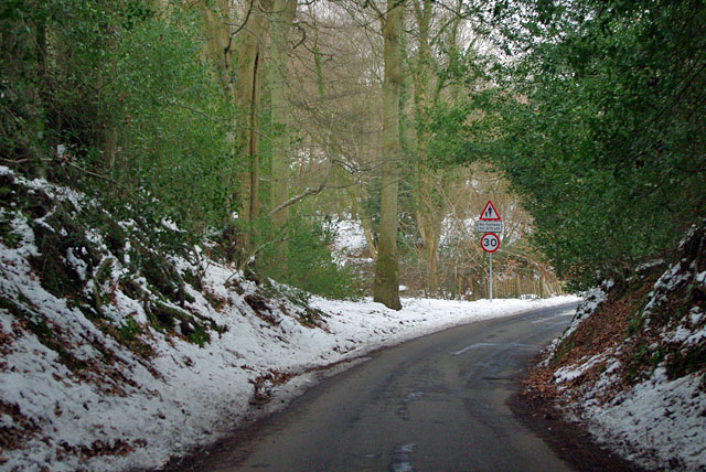
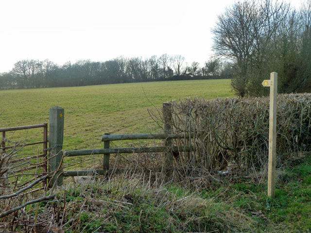
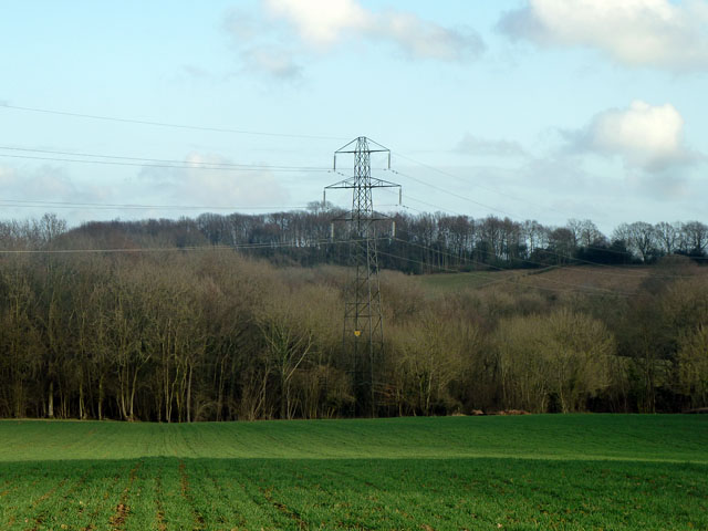
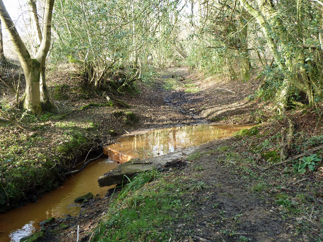
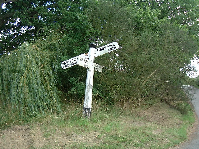
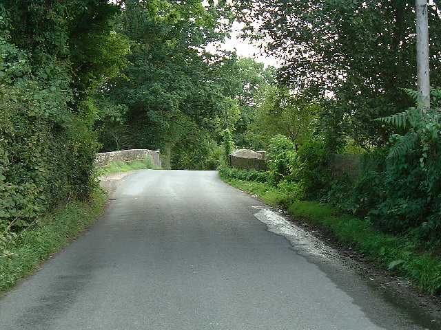
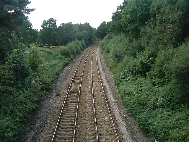
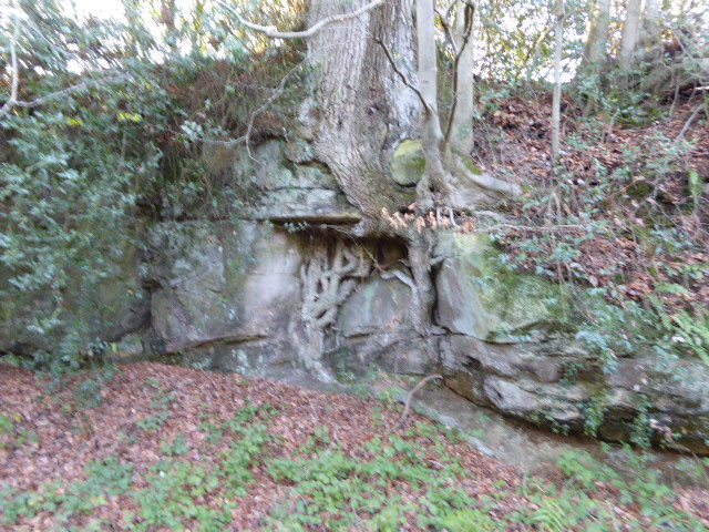
Burnt Oak Images

Images are sourced within 2km of 51.022484/0.15708405 or Grid Reference TQ5127. Thanks to Geograph Open Source API. All images are credited.

Stone Cross Road - 30 limit ahead Also a warning that there is no footway for 270 yards (247 m for those puzzled by that).
Stone Cross Road - 30 limit ahead
Also a warning that there is no footway for 270 yards (247 m for those puzzled by that).
Footpath towards Tibbs Mill Lane Path Hadlow Down 7 starts here on Hastingford Lane.
Footpath towards Tibbs Mill Lane
Path Hadlow Down 7 starts here on Hastingford Lane.
Pylon and woods The near woodland runs along a gill for some considerable distance.
Pylon and woods
The near woodland runs along a gill for some considerable distance.
Ford on footpath Rotherfield 3b The otherwise excellent East Sussex interactive rights of way map marks this with a bridge. There was no sign of any bridge being here in the recent past. Fortunately the stream is narrow enough to jump on the left.
Ford on footpath Rotherfield 3b
The otherwise excellent East Sussex interactive rights of way map marks this with a bridge. There was no sign of any bridge being here in the recent past. Fortunately the stream is narrow enough to jump on the left.
Ford on footpath Rotherfield 51 The otherwise excellent East Sussex interactive rights of way map marks this with a bridge, so does the OS map. There was no sign here of there ever being a bridge. Perhaps it lurks in the undergrowth a little further up the stream?
Ford on footpath Rotherfield 51
The otherwise excellent East Sussex interactive rights of way map marks this with a bridge, so does the OS map. There was no sign here of there ever being a bridge. Perhaps it lurks in the undergrowth a little further up the stream?
Gill stream junction It is rather hard to get a sense of scale here, but the fallen tree on the right is of some size. The main gill stream comes down from the right and is joined by a side stream falling over a substantial seam of sandstone.
Gill stream junction
It is rather hard to get a sense of scale here, but the fallen tree on the right is of some size. The main gill stream comes down from the right and is joined by a side stream falling over a substantial seam of sandstone.
Bridleway Crowborough 27a Here it is following the west edge of a dwindling gill on the right, with the wood known as Sinnock's Rough on the left.
Bridleway Crowborough 27a
Here it is following the west edge of a dwindling gill on the right, with the wood known as Sinnock's Rough on the left.
Bridleway Buxted 36b A bridleway improved not so long ago, and consequently pleasant going. The wayside pond is a nice feature.
Bridleway Buxted 36b
A bridleway improved not so long ago, and consequently pleasant going. The wayside pond is a nice feature.
Land near Hastingford Farm The river Uck runs behind the trees on the right of the photo.
Land near Hastingford Farm
The river Uck runs behind the trees on the right of the photo.
Drive to Huggetts Furnace Farm
Hastingford Lane at River Uck bridge There is a curious skew crossing here. The posts on the left protect the west parapet of the bridge, which is opposite the drive on the right. The east parapet is out of shot this side of the drive.
Hastingford Lane at River Uck bridge
There is a curious skew crossing here. The posts on the left protect the west parapet of the bridge, which is opposite the drive on the right. The east parapet is out of shot this side of the drive.
Railway Viaduct , Uckfield Line This is on a slight curve, with this view of the convex side.
Railway Viaduct , Uckfield Line
This is on a slight curve, with this view of the convex side.
Cross Road at Burnt Oak This is just within this grid square although a referee's decision must be final !
Cross Road at Burnt Oak
This is just within this grid square although a referee's decision must be final !
Railway bridge The Uckfield to London railway line passes under this bridge.
Railway bridge
The Uckfield to London railway line passes under this bridge.
Railway line from Uckfield to London After leaving Uckfield the train passes through Buxted before reaching this bridge. There are now hourly train services (2005) from Uckfield to London bridge during the week with the journey taking 1 1/4 hours.
Railway line from Uckfield to London
After leaving Uckfield the train passes through Buxted before reaching this bridge. There are now hourly train services (2005) from Uckfield to London bridge during the week with the journey taking 1 1/4 hours.
River Uck bridge near Hastingford Farm The River Uck flows to the south west from here through Uckfield the joins the River Ouse.
River Uck bridge near Hastingford Farm
The River Uck flows to the south west from here through Uckfield the joins the River Ouse.
View towards the south west From the footpath leading south towards Huggett's Furnace
View towards the south west
From the footpath leading south towards Huggett's Furnace
Huggett's Furnace A collection of buildings and barns at Huggett's furnace. The name clearly derived from the days when Iron was forged and cannons made for the King's navy. Jack Johnson was one of the Iron masters at this location:  "Master Johnson and his man John
They did cast the first cannon."
Huggett's Furnace
A collection of buildings and barns at Huggett's furnace. The name clearly derived from the days when Iron was forged and cannons made for the King's navy. Jack Johnson was one of the Iron masters at this location: "Master Johnson and his man John They did cast the first cannon."
Show me another place!

Burnt Oak is located at Grid Ref: TQ5127 (Lat: 51.022484, Lng: 0.15708405)

Administrative County: East Sussex

District: Wealdon

Police Authority: Sussex

What 3 Words

///soothing.flaking.occupations. Near Buxted, East Sussex

Related Wikis

Hastingford Cutting

Hastingford Cutting is a 0.04-hectare (0.099-acre) geological Site of Special Scientific Interest south of Crowborough in East Sussex. It is a Geological...

Richard Hill (RAF officer)

Lieutenant Richard Frank Hill (28 April 1899 – 17 September 1918) was a British World War I flying ace credited with seven aerial victories. == Biography... ==

High Hurstwood

High Hurstwood is a village in the Wealden district of East Sussex. == External links == High Hurstwood village history Holy Trinity Church, High Hurstwood...

Crowborough Athletic F.C.

Crowborough Athletic Football Club is a football club based in Crowborough, East Sussex, England. Affiliated to the Sussex County Football Association...

Stockland Farm Meadows

Stockland Farm Meadows is a 5.8-hectare (14-acre) biological Site of Special Scientific Interest south of Crowborough in East Sussex.These two species...

Poundgate

Poundgate is a hamlet in East Sussex on the A26 Uckfield Road at the junction with Chillies Road, just south of Crowborough. It has one pub, the Crow and...

Luxford House

Luxford House is a 16th-century Grade II listed building near Crowborough, East Sussex. It is near the 11.5-acre (4.7 ha) Luxford Farm. It was used by...

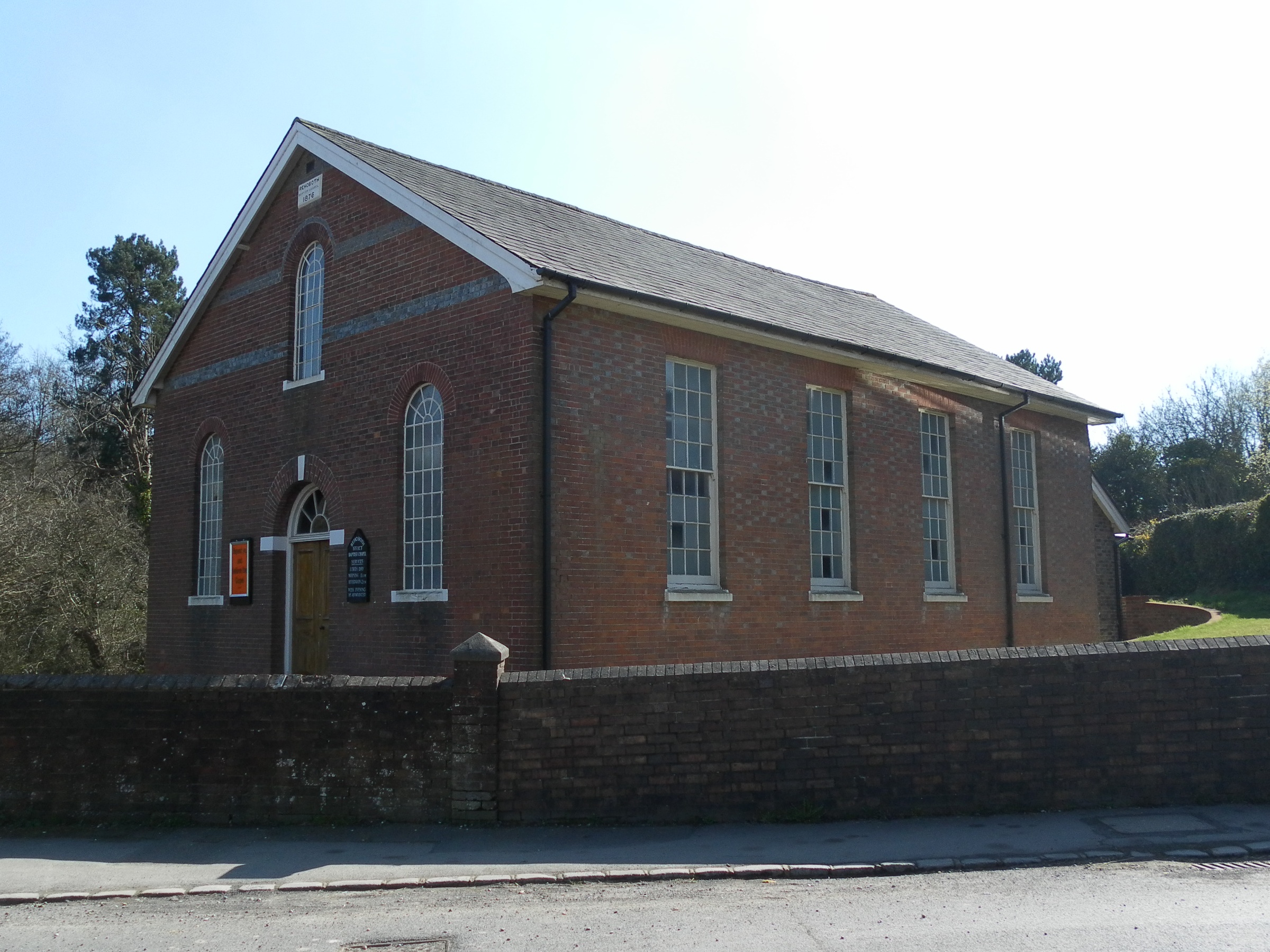
Rehoboth Chapel, Jarvis Brook

The Rehoboth Chapel is a Strict Baptist place of worship in the village of Jarvis Brook in the English county of East Sussex. The red- and blue-brick building...

Nearby Amenities

Located within 500m of 51.022484,0.15708405
Source: Landsat photo
Lat/Long: 51.0182434/0.1557275
Source: Landsat photo
Lat/Long: 51.0193836/0.158011
Source: Landsat photo
Lat/Long: 51.0206272/0.1605596
Source: Landsat photo
Lat/Long: 51.0224399/0.1633281
Source: Landsat photo
Lat/Long: 51.0182135/0.1557708
Source: Landsat photo
Lat/Long: 51.0193512/0.1580496
Source: Landsat photo
Lat/Long: 51.0205961/0.1606007
Source: Landsat photo
Lat/Long: 51.0224157/0.1633798
Post Box
Post Box Type: lamp
Ref: TN6 111
Royal Cypher: EIIR
Royal Cypher Wikidata: Q33102113
Lat/Long: 51.0225213/0.1568775
Power: pole
Lat/Long: 51.0205952/0.1522127
Power: pole
Lat/Long: 51.0197262/0.153873
Power: pole
Lat/Long: 51.0191407/0.1550692
Power: pole
Lat/Long: 51.0189315/0.1554447
Power: pole
Lat/Long: 51.019706/0.1561904
Power: pole
Lat/Long: 51.0204737/0.1569334
Power: pole
Lat/Long: 51.0212059/0.1576012
Power: pole
Lat/Long: 51.0219618/0.1584434
Power: pole
Lat/Long: 51.0226974/0.1592562
Power: pole
Lat/Long: 51.0239087/0.1606482
Welchwood Farm
Addr City: Crowborough
Addr Postcode: TN6 3SD
Addr Street: Burnt Oak Road
Place: farm
Lat/Long: 51.0255519/0.1601601
Burnt Oak Farm
Addr City: Crowborough
Addr Postcode: TN6 3SD
Addr Street: Burnt Oak Road
Place: farm
Lat/Long: 51.0221749/0.1563205
The data included in this document is from www.openstreetmap.org. The data is made available under ODbL.

Have you been to Burnt Oak?

Leave your review of Burnt Oak below (or comments, questions and feedback).