Marlpit Wood

Wood, Forest in Sussex Wealden

England

Marlpit Wood

Stone Cross Road - 30 limit ahead Also a warning that there is no footway for 270 yards (247 m for those puzzled by that).
Stone Cross Road - 30 limit ahead Credit: Robin Webster

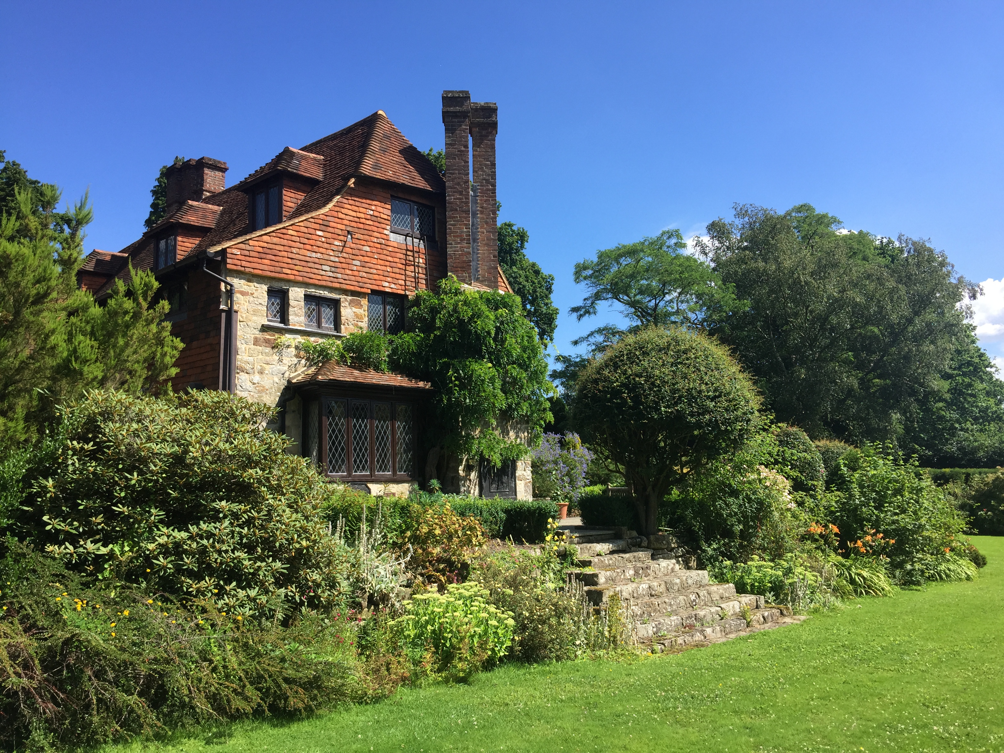
Marlpit Wood, located in Sussex, is a picturesque and enchanting forest that stretches across a vast area of natural beauty. Known for its tranquility and diverse wildlife, it is a haven for nature lovers and adventurers alike.

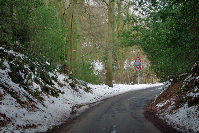
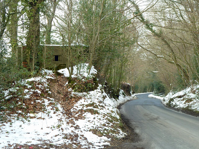
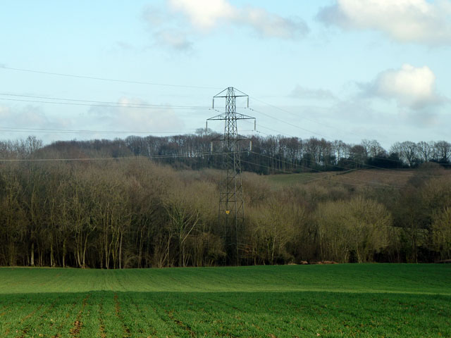
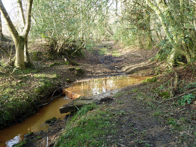
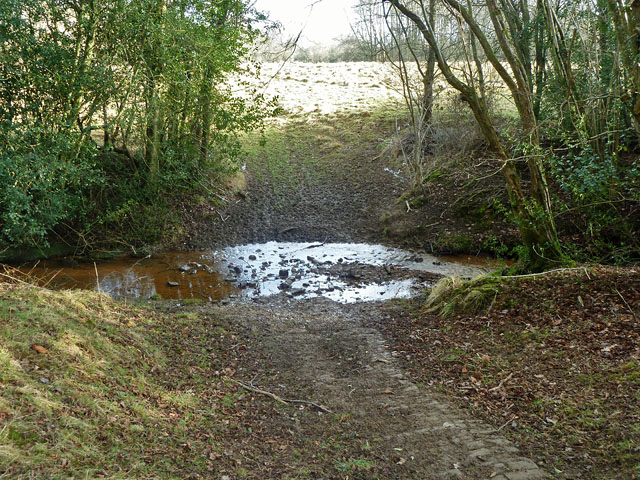
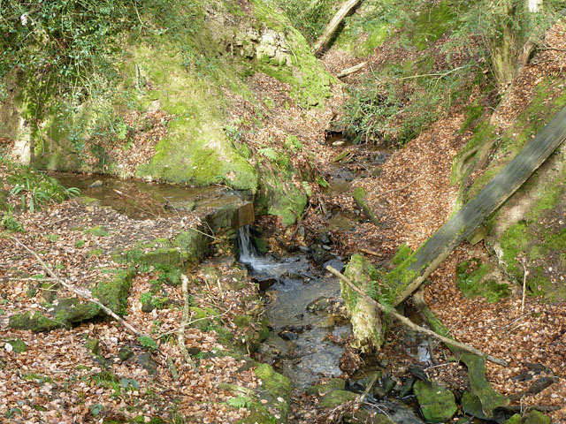
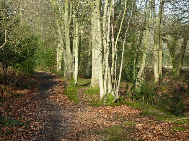
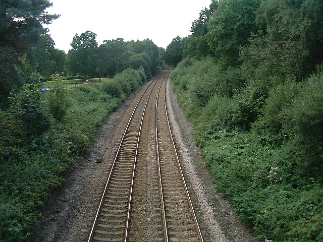
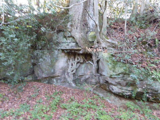
Covering an area of approximately 500 hectares, Marlpit Wood is predominantly composed of ancient woodland, which means it has been continuously wooded since at least the early 17th century. The wood boasts a rich variety of tree species, including oak, ash, beech, and birch, creating a diverse and vibrant ecosystem. The towering trees provide ample shade, making it a delightful place to escape the heat during the summer months.

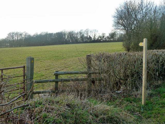
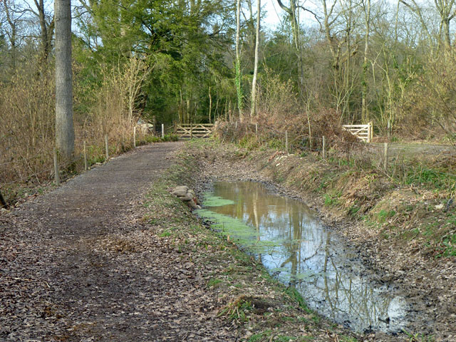
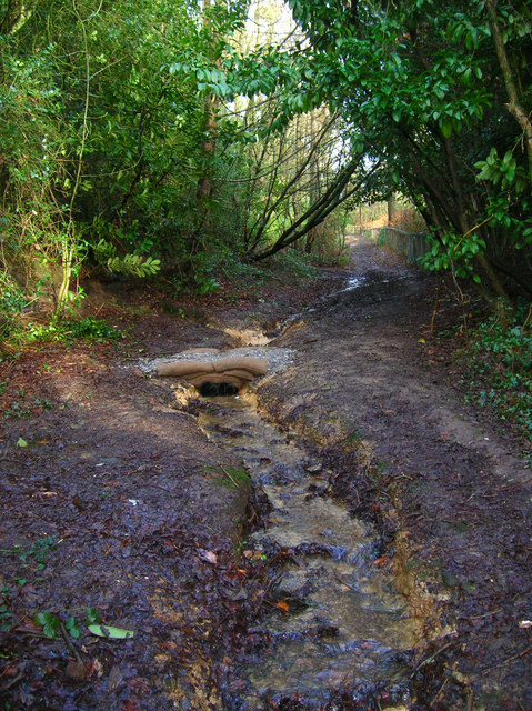
As you explore the wood, you will come across a network of trails and footpaths that wind their way through the dense foliage. These paths allow visitors to immerse themselves in the beauty of the surroundings and discover the many hidden treasures that Marlpit Wood has to offer.

The wood is also home to a wide array of wildlife, making it an ideal spot for birdwatching and animal spotting. Species such as woodpeckers, tawny owls, and deer can often be spotted going about their daily routines. The forest floor is adorned with an array of wildflowers and fungi, adding to the natural beauty of the wood.

Marlpit Wood is a conservation area, and efforts are made to preserve its unique environment. It is managed by the Sussex Wildlife Trust, which organizes educational events and guided walks to raise awareness about the importance of protecting this precious ecosystem.

Whether you are seeking a peaceful stroll, a chance to connect with nature, or an opportunity to learn more about the local wildlife, Marlpit Wood is a must-visit destination for nature enthusiasts of all ages.

If you have any feedback on the listing, please let us know in the comments section below.

Marlpit Wood Images

Images are sourced within 2km of 51.027854/0.15942983 or Grid Reference TQ5127. Thanks to Geograph Open Source API. All images are credited.

Stone Cross Road - 30 limit ahead Also a warning that there is no footway for 270 yards (247 m for those puzzled by that).
Stone Cross Road - 30 limit ahead
Also a warning that there is no footway for 270 yards (247 m for those puzzled by that).
Houses on Stone Cross Road At the edge of the Alderbrook district of Crowborough.
Houses on Stone Cross Road
At the edge of the Alderbrook district of Crowborough.
Stone Cross Road meets Walshes Road Walshes Road is Fermor Road to the left of this junction. At the immediate right is the residential Alderbrook Close. This is a very odd name as it is a through road, looping back to Stone Cross Road.
Stone Cross Road meets Walshes Road
Walshes Road is Fermor Road to the left of this junction. At the immediate right is the residential Alderbrook Close. This is a very odd name as it is a through road, looping back to Stone Cross Road.
Pillbox by Hadlow Down Road Perched on a bank with views over both the road and the valley to the left. The entrance is on the far side.
Pillbox by Hadlow Down Road
Perched on a bank with views over both the road and the valley to the left. The entrance is on the far side.
For Sale off Steep Road Steep Road bends round to the left. Down a long drive on the right is "Farmhouse, outbuildings and 64 acres" which are for sale. This can only be Rumsden Farm, whose sign is above the for sale sign, and advertises Charolais breeding. Will or does the enterprise continue elsewhere? The company website seems to be vibrant.
For Sale off Steep Road
Steep Road bends round to the left. Down a long drive on the right is "Farmhouse, outbuildings and 64 acres" which are for sale. This can only be Rumsden Farm, whose sign is above the for sale sign, and advertises Charolais breeding. Will or does the enterprise continue elsewhere? The company website seems to be vibrant.
Footpath towards Tibbs Mill Lane Path Hadlow Down 7 starts here on Hastingford Lane.
Footpath towards Tibbs Mill Lane
Path Hadlow Down 7 starts here on Hastingford Lane.
Pylon and woods The near woodland runs along a gill for some considerable distance.
Pylon and woods
The near woodland runs along a gill for some considerable distance.
Ford on footpath Rotherfield 3b The otherwise excellent East Sussex interactive rights of way map marks this with a bridge. There was no sign of any bridge being here in the recent past. Fortunately the stream is narrow enough to jump on the left.
Ford on footpath Rotherfield 3b
The otherwise excellent East Sussex interactive rights of way map marks this with a bridge. There was no sign of any bridge being here in the recent past. Fortunately the stream is narrow enough to jump on the left.
Ford on footpath Rotherfield 51 The otherwise excellent East Sussex interactive rights of way map marks this with a bridge, so does the OS map. There was no sign here of there ever being a bridge. Perhaps it lurks in the undergrowth a little further up the stream?
Ford on footpath Rotherfield 51
The otherwise excellent East Sussex interactive rights of way map marks this with a bridge, so does the OS map. There was no sign here of there ever being a bridge. Perhaps it lurks in the undergrowth a little further up the stream?
Gill stream junction It is rather hard to get a sense of scale here, but the fallen tree on the right is of some size. The main gill stream comes down from the right and is joined by a side stream falling over a substantial seam of sandstone.
Gill stream junction
It is rather hard to get a sense of scale here, but the fallen tree on the right is of some size. The main gill stream comes down from the right and is joined by a side stream falling over a substantial seam of sandstone.
Bridleway Crowborough 27a Here it is following the west edge of a dwindling gill on the right, with the wood known as Sinnock's Rough on the left.
Bridleway Crowborough 27a
Here it is following the west edge of a dwindling gill on the right, with the wood known as Sinnock's Rough on the left.
Bridleway Buxted 36b A bridleway improved not so long ago, and consequently pleasant going. The wayside pond is a nice feature.
Bridleway Buxted 36b
A bridleway improved not so long ago, and consequently pleasant going. The wayside pond is a nice feature.
Railway Viaduct , Uckfield Line This is on a slight curve, with this view of the convex side.
Railway Viaduct , Uckfield Line
This is on a slight curve, with this view of the convex side.
Cross Road at Burnt Oak This is just within this grid square although a referee's decision must be final !
Cross Road at Burnt Oak
This is just within this grid square although a referee's decision must be final !
Railway bridge The Uckfield to London railway line passes under this bridge.
Railway bridge
The Uckfield to London railway line passes under this bridge.
Railway line from Uckfield to London After leaving Uckfield the train passes through Buxted before reaching this bridge. There are now hourly train services (2005) from Uckfield to London bridge during the week with the journey taking 1 1/4 hours.
Railway line from Uckfield to London
After leaving Uckfield the train passes through Buxted before reaching this bridge. There are now hourly train services (2005) from Uckfield to London bridge during the week with the journey taking 1 1/4 hours.
Public Byway, South of Lordswell Lane The mini sandbagged footbridge marks the point where a footpath heads west across Crowborough Common towards the A26.
Public Byway, South of Lordswell Lane
The mini sandbagged footbridge marks the point where a footpath heads west across Crowborough Common towards the A26.
Windlesham Manor Home to Sir Arthur Conan Doyle between 1907 and his death in 1930. Initially he was buried in the back garden along with his wife who died in 1940 though both were moved to Minstead in the New Forest after World War Two when the family sold the building to new owners. Today it is a nursing home.

Conan Doyle largely redesigned the house himself and its angle in relation to the road came about due to his desire to be able to see his favourite view, facing Rotherfield, every day.
Windlesham Manor
Home to Sir Arthur Conan Doyle between 1907 and his death in 1930. Initially he was buried in the back garden along with his wife who died in 1940 though both were moved to Minstead in the New Forest after World War Two when the family sold the building to new owners. Today it is a nursing home. Conan Doyle largely redesigned the house himself and its angle in relation to the road came about due to his desire to be able to see his favourite view, facing Rotherfield, every day.
Show me another place!

Marlpit Wood is located at Grid Ref: TQ5127 (Lat: 51.027854, Lng: 0.15942983)

Administrative County: East Sussex

District: Wealden

Police Authority: Sussex

What 3 Words

///duck.casually.installs. Near Crowborough, East Sussex

Related Wikis

Crowborough Athletic F.C.

Crowborough Athletic Football Club is a football club based in Crowborough, East Sussex, England. Affiliated to the Sussex County Football Association...

Hastingford Cutting

Hastingford Cutting is a 0.04-hectare (0.099-acre) geological Site of Special Scientific Interest south of Crowborough in East Sussex. It is a Geological...

Luxford House

Luxford House is a 16th-century Grade II listed building near Crowborough, East Sussex. It is near the 11.5-acre (4.7 ha) Luxford Farm. It was used by...

Rehoboth Chapel, Jarvis Brook

The Rehoboth Chapel is a Strict Baptist place of worship in the village of Jarvis Brook in the English county of East Sussex. The red- and blue-brick building...

Richard Hill (RAF officer)

Lieutenant Richard Frank Hill (28 April 1899 – 17 September 1918) was a British World War I flying ace credited with seven aerial victories. == Biography... ==

Poundgate

Poundgate is a hamlet in East Sussex on the A26 Uckfield Road at the junction with Chillies Road, just south of Crowborough. It has one pub, the Crow and...

High Hurstwood

High Hurstwood is a village in the Wealden district of East Sussex. == External links == High Hurstwood village history Holy Trinity Church, High Hurstwood...

Crowborough Country Park

Crowborough Country Park is a 7.3-hectare (18-acre) Local Nature Reserve on the western outskirts of Crowborough in East Sussex. It is owned and managed...

Nearby Amenities

Located within 500m of 51.027854,0.15942983
Power: pole
Lat/Long: 51.0239087/0.1606482
Power: pole
Lat/Long: 51.0260513/0.1631078
Power: pole
Lat/Long: 51.02677/0.1638776
Power: pole
Lat/Long: 51.0274852/0.1646984
Welchwood Farm
Addr City: Crowborough
Addr Postcode: TN6 3SD
Addr Street: Burnt Oak Road
Place: farm
Lat/Long: 51.0255519/0.1601601
Ketches Farm
Addr City: Crowborough
Addr Postcode: TN6 3SD
Addr Street: Burnt Oak Road
Place: farm
Lat/Long: 51.0307174/0.1615763
The data included in this document is from www.openstreetmap.org. The data is made available under ODbL.

Have you been to Marlpit Wood?

Leave your review of Marlpit Wood below (or comments, questions and feedback).