Coed Maescastell
Wood, Forest in Carmarthenshire
Wales
Coed Maescastell
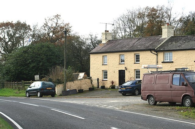
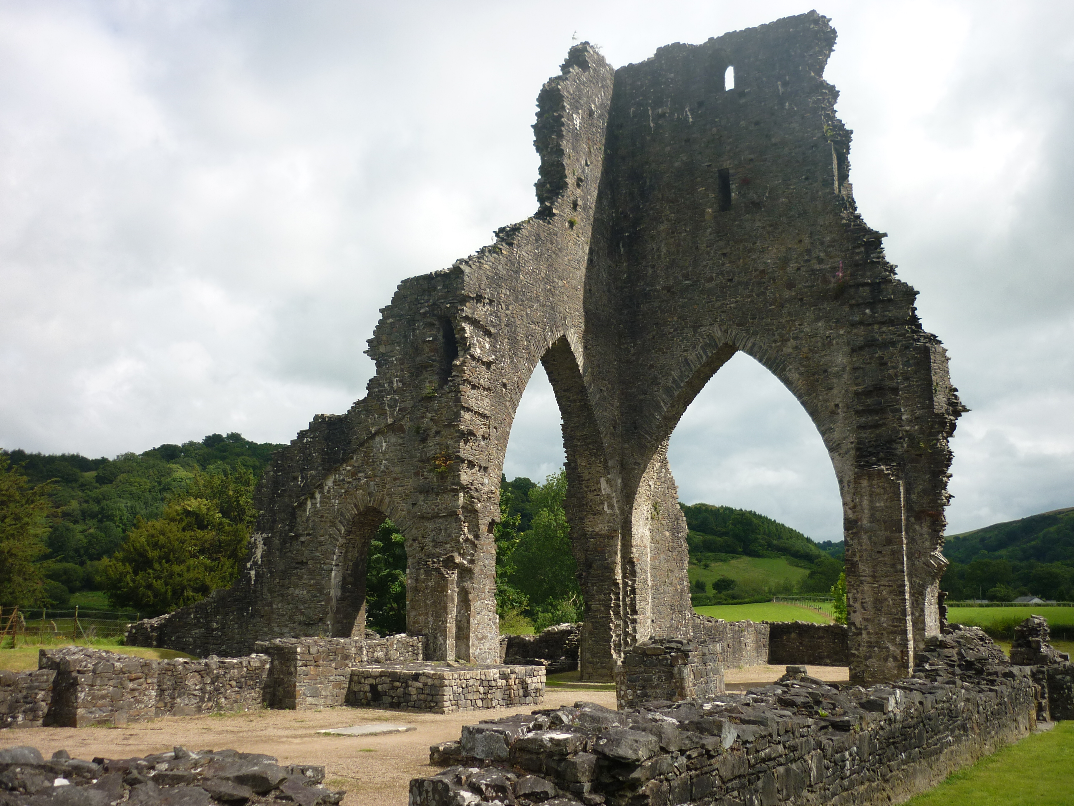
![Llwybr Glan Thames / Glan Thames path Llwybr a heol fynedfa ym mynd i lawr y waered tuag at anhedd-dy o'r enw Glan Thames.
A path and access road descending towards a property known as Glan Thames (trans. bank of the Thames [stream]).](https://s2.geograph.org.uk/geophotos/07/24/25/7242546_92900d87.jpg)
Coed Maescastell is a picturesque wood located in the county of Carmarthenshire, Wales. Covering an area of approximately 200 hectares, it is renowned for its diverse range of tree species and stunning natural beauty.
Situated on the eastern slopes of the Towy Valley, Coed Maescastell benefits from a mild and moist climate, which fosters the growth of a rich variety of flora and fauna. The wood is dominated by native broadleaf trees such as oak, beech, and ash, providing a lush canopy that offers shade and shelter to the woodland floor below.
Visitors to Coed Maescastell can experience a tranquil and idyllic setting, perfect for leisurely walks and nature exploration. The wood boasts well-maintained footpaths that wind through the trees, offering breathtaking views of the surrounding countryside. Wildlife enthusiasts will be delighted by the diverse range of species that call Coed Maescastell home, including roe deer, badgers, and a plethora of bird species.
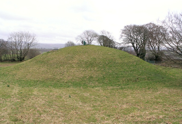
The wood is also of historical and cultural significance. It is believed that the remains of an Iron Age hillfort can be found within its boundaries, adding an ancient and mysterious allure to the area. Additionally, Coed Maescastell is part of the Coedwig Sir Gâr Forest, which is managed by Natural Resources Wales to ensure its preservation and sustainability.
Overall, Coed Maescastell is a haven for nature lovers and those seeking solace in the beauty of the natural world. Its stunning landscapes, diverse wildlife, and historical significance make it a must-visit destination in Carmarthenshire.
If you have any feedback on the listing, please let us know in the comments section below.
Coed Maescastell Images
Images are sourced within 2km of 51.932661/-3.9862453 or Grid Reference SN6327. Thanks to Geograph Open Source API. All images are credited.


Coed Maescastell is located at Grid Ref: SN6327 (Lat: 51.932661, Lng: -3.9862453)
Unitary Authority: Carmarthenshire
Police Authority: Dyfed Powys
What 3 Words
///interest.prettiest.cabin. Near Llandeilo, Carmarthenshire
Nearby Locations
Related Wikis


Related Videos
Composting toilet mobile and pop up!
Thank you for watching this demonstration about how to set up a mobile pop up Composting Toilet. This is my latest design and I ...
Nearby Amenities
Located within 500m of 51.932661,-3.9862453Have you been to Coed Maescastell?
Leave your review of Coed Maescastell below (or comments, questions and feedback).