Cilcwm
Wood, Forest in Cardiganshire
Wales
Cilcwm
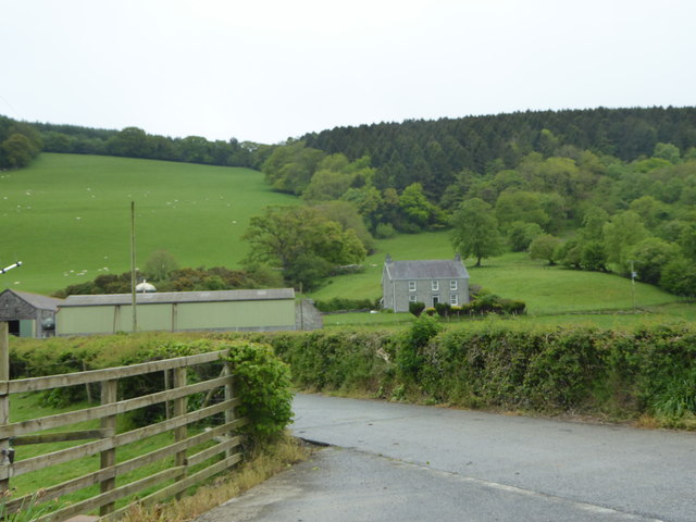
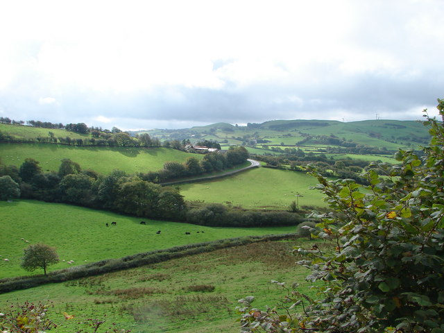
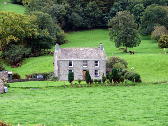
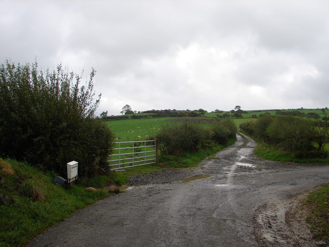
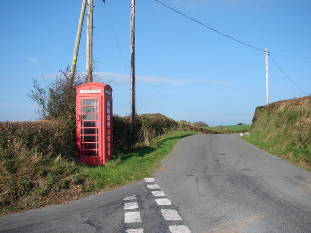
Cilcwm is a small village located in the county of Cardiganshire, Wales. Situated in a picturesque valley, Cilcwm is known for its abundant woodlands and forests. The village is surrounded by lush greenery, making it an ideal destination for nature enthusiasts and those seeking tranquility.
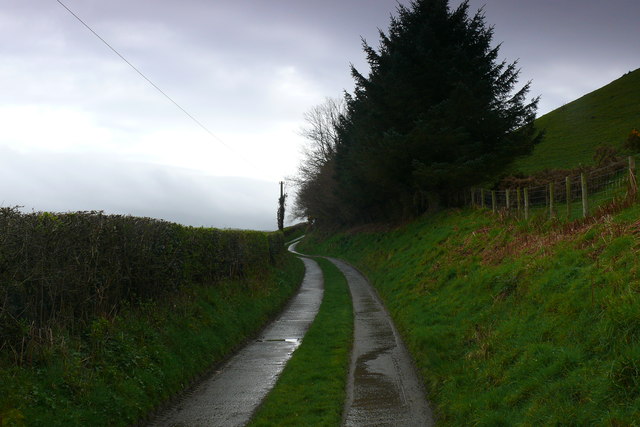
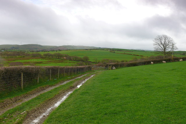
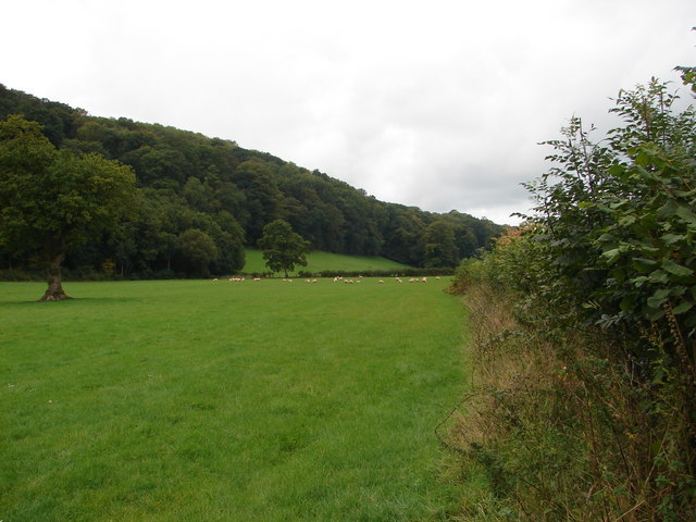
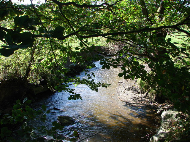
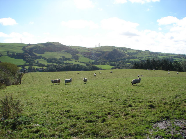
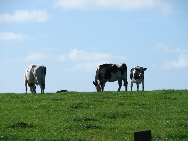
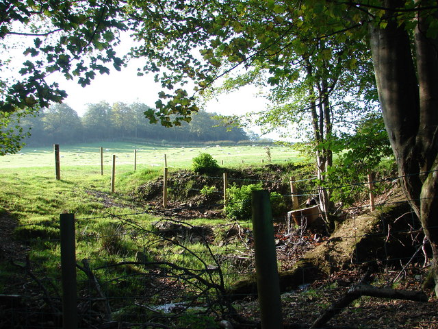
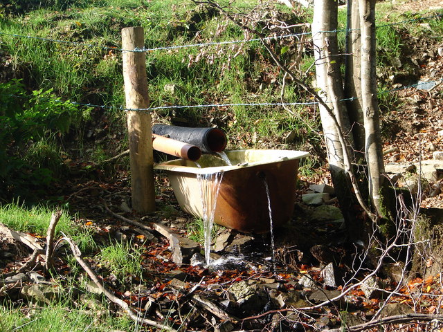
The woodlands in Cilcwm are diverse and rich in flora and fauna. They provide a habitat for a wide range of wildlife, including various species of birds, mammals, and insects. The dense forests are predominantly composed of native tree species such as oak, beech, and ash, contributing to the conservation of the local ecosystem.
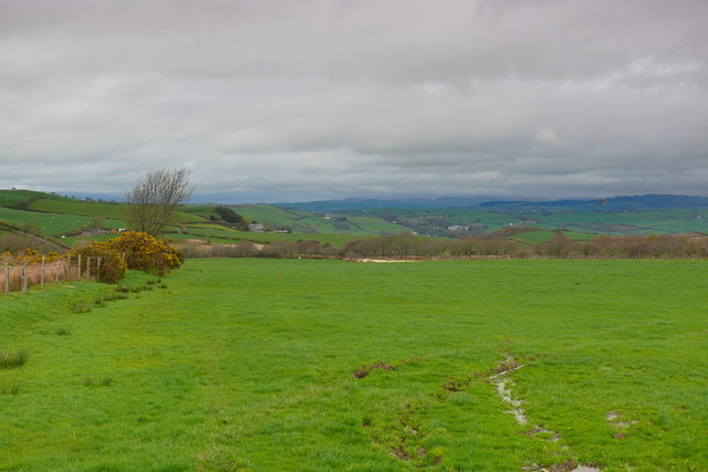
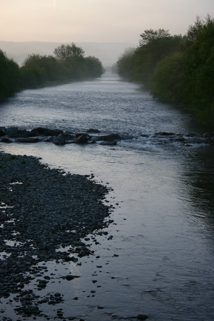
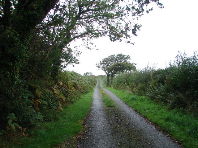
Cilcwm's woodlands not only offer a haven for wildlife but also provide recreational opportunities for visitors. There are well-maintained walking trails that crisscross through the forests, allowing hikers and nature lovers to explore the area's natural beauty. The trails offer stunning views of the surrounding countryside, including rolling hills and sparkling rivers.
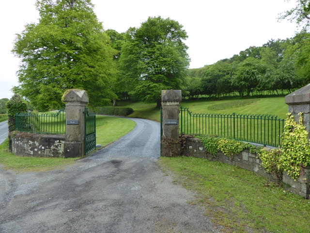
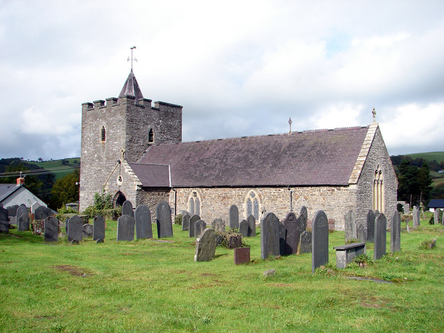
The village itself is a charming and close-knit community. It has a rich history, with evidence of human settlement dating back centuries. Cilcwm is home to several historic buildings, including a 13th-century church that serves as a focal point for the community.
In conclusion, Cilcwm in Cardiganshire is a delightful village nestled in a wooded valley. Its abundant woodlands and forests offer a haven for wildlife and provide opportunities for outdoor enthusiasts to immerse themselves in nature. With its picturesque surroundings and rich history, Cilcwm is a destination that appeals to both nature lovers and those seeking a peaceful retreat.
If you have any feedback on the listing, please let us know in the comments section below.
Cilcwm Images
Images are sourced within 2km of 52.339666/-4.004895 or Grid Reference SN6373. Thanks to Geograph Open Source API. All images are credited.
Cilcwm is located at Grid Ref: SN6373 (Lat: 52.339666, Lng: -4.004895)
Unitary Authority: Ceredigion
Police Authority: Dyfed Powys
What 3 Words
///prepped.places.blinks. Near Llanilar, Ceredigion
Nearby Locations
Related Wikis

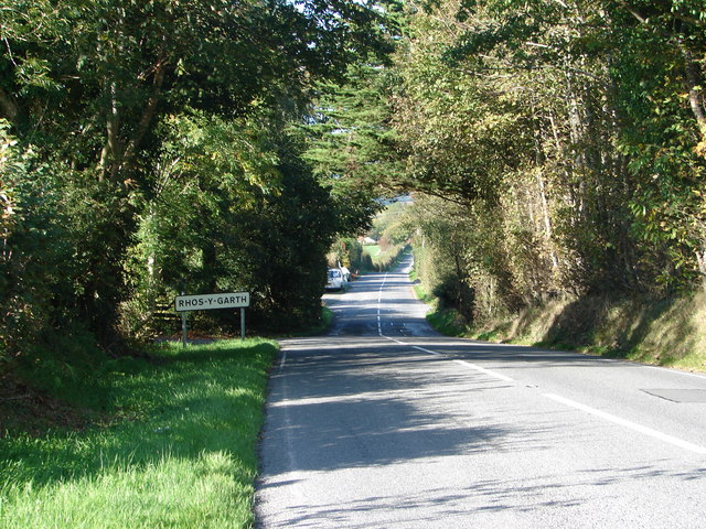
Rhos-y-garth
Rhos-y-garth is a hamlet in the community of Llanilar, Ceredigion, Wales, which is 68.7 miles (110.6 km) from Cardiff and 174.7 miles (281.1 km) from...
Coed y Crychydd
Coed y Crychydd is a Site of Special Scientific Interest in Ceredigion, west Wales. It is a moderately steep, north facing wood, featuring mainly ancient...
Llanilar
Llanilar (Welsh pronunciation: [ɬanˈɪlar]) is a village and community in Ceredigion, Wales, about 4 kilometres (2.5 mi) southeast of Aberystwyth. It is...
Castle Hill, Ceredigion
Castle Hill is an area and country estate in the community of Llanilar, Ceredigion, Wales, which is 70.2 miles (112.9 km) from Cardiff and 175.8 miles...
Nearby Amenities
Located within 500m of 52.339666,-4.004895Have you been to Cilcwm?
Leave your review of Cilcwm below (or comments, questions and feedback).