Coederyr

Wood, Forest in Caernarfonshire

Wales

Coederyr

Winter birches on Nantgwynant The marshy land between the public footpath and Llyn Dinas on its southeast shore is dotted with Downy Birch - the species of birch (of our two natives) better adapted to such wet soils. On a wet day like this when the higher parts of Snowdonia are unattractive to walkers, lower level paths like this one present opportunties to have the trees stand out against the low-contrast background, and close examination shows that every twig is adorned with droplets of water catching the light from the low clouds.
Winter birches on Nantgwynant Credit: Andy Waddington

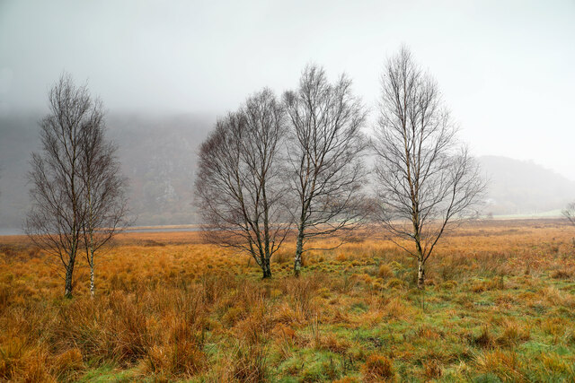
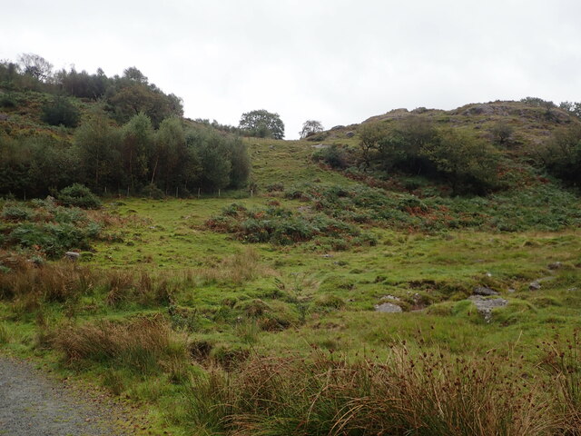
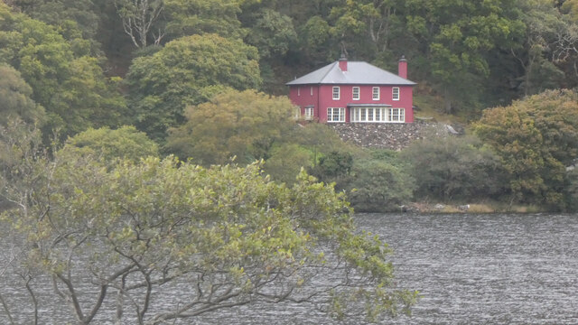
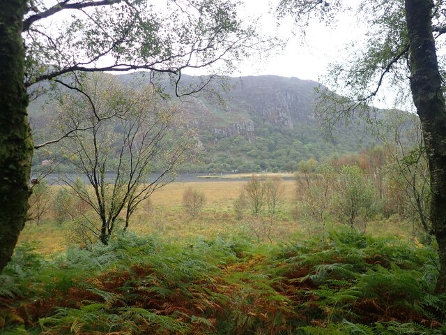
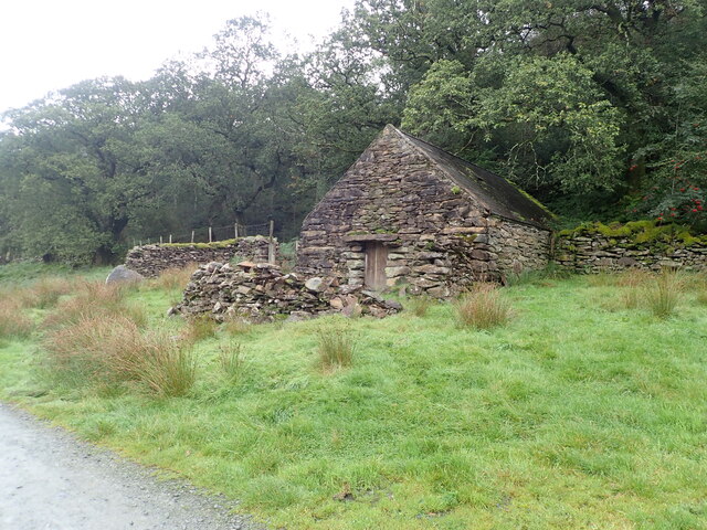
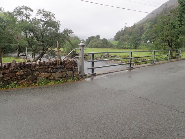
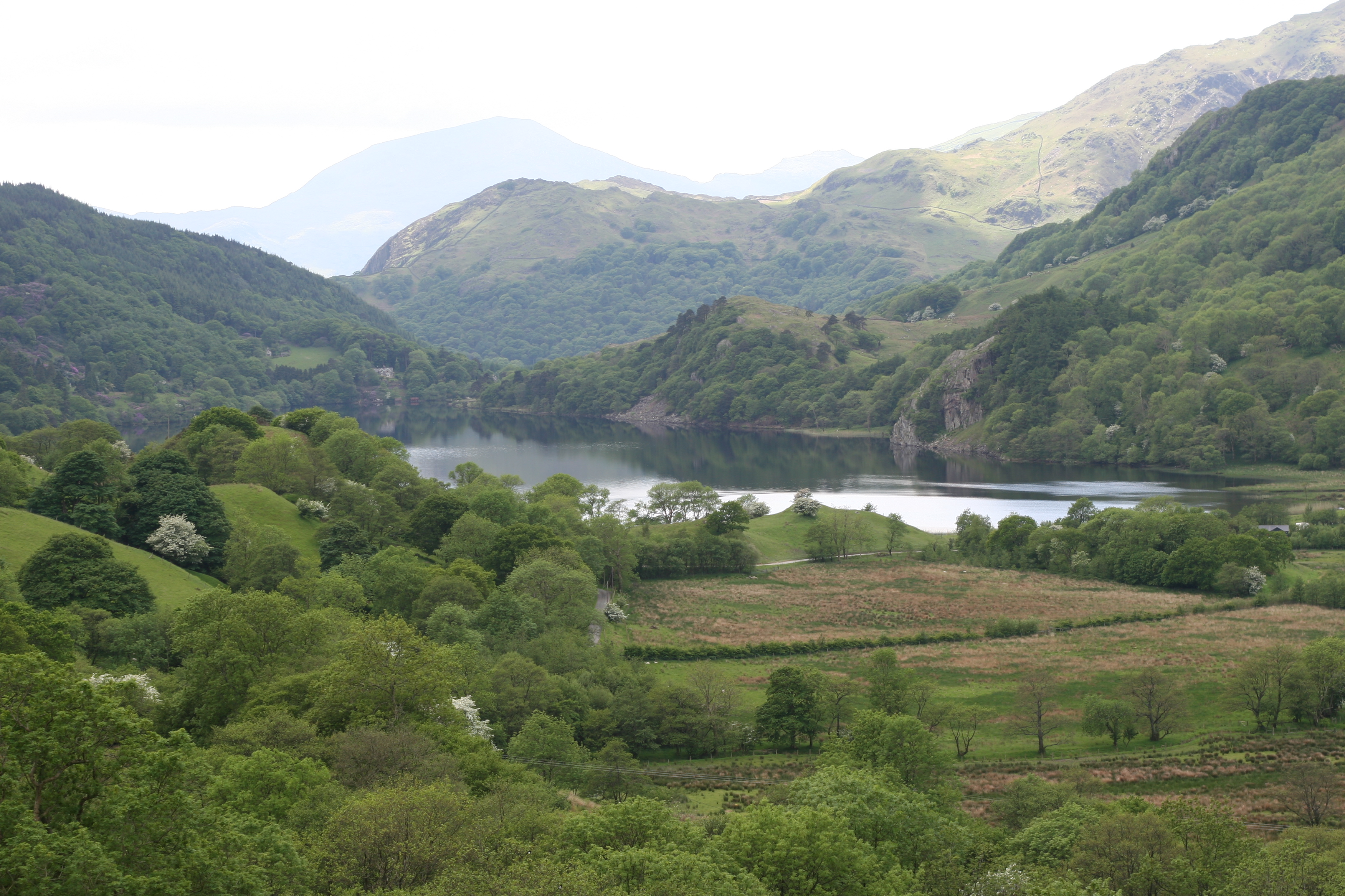
Coederyr, located in the historic county of Caernarfonshire, Wales, is a picturesque woodland area known for its natural beauty and rich biodiversity. Stretching over an expansive area, it encompasses a range of habitats, including dense forests, open fields, and tranquil lakes, making it an ideal destination for nature enthusiasts and outdoor lovers.

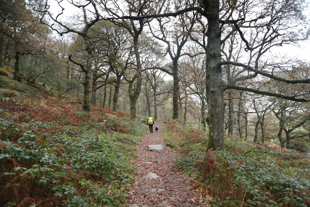
The woodland is predominantly characterized by a variety of tree species, including oak, beech, pine, and birch, which create a stunning canopy overhead. The dense vegetation provides a haven for numerous wildlife species, such as red squirrels, badgers, foxes, and a diverse array of bird species, making it a paradise for wildlife spotting and birdwatching.

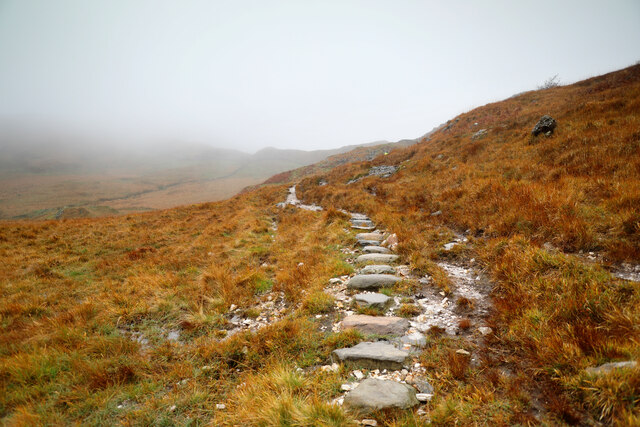
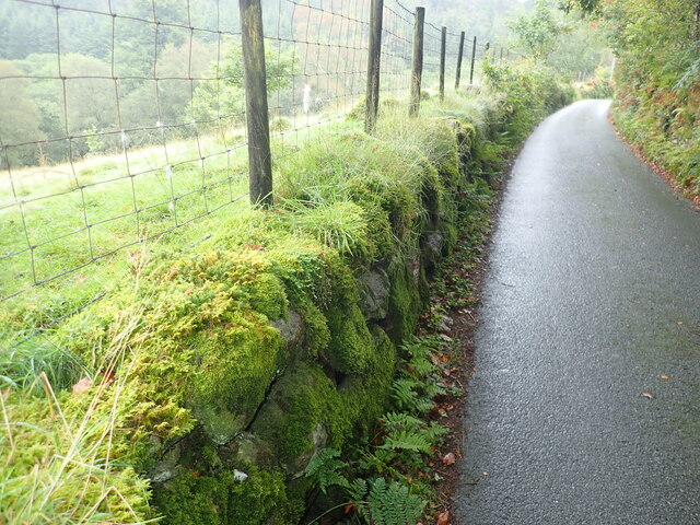
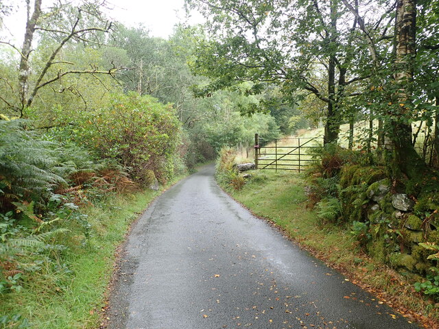
Coederyr is crisscrossed by an extensive network of walking trails, offering visitors the opportunity to explore the area at their own pace. These paths meander through the woods, offering breathtaking views of the surrounding landscape, and providing a tranquil escape from the hustle and bustle of everyday life.

For those seeking a more immersive experience, camping facilities are available within the woodland, allowing visitors to spend the night under the canopy of stars, surrounded by the peaceful sounds of nature. Additionally, the presence of a lake within the woodland provides opportunities for fishing, boating, and other water-based activities.

Coederyr is not only a haven for nature enthusiasts but also a vital ecosystem, playing a crucial role in carbon sequestration and maintaining local ecological balance. Its natural beauty and conservation value make it a cherished destination for locals and tourists alike, as well as an important asset in preserving the region's environmental heritage.

If you have any feedback on the listing, please let us know in the comments section below.

Coederyr Images

Images are sourced within 2km of 53.035613/-4.0376987 or Grid Reference SH6350. Thanks to Geograph Open Source API. All images are credited.

Winter birches on Nantgwynant The marshy land between the public footpath and Llyn Dinas on its southeast shore is dotted with Downy Birch - the species of birch (of our two natives) better adapted to such wet soils. On a wet day like this when the higher parts of Snowdonia are unattractive to walkers, lower level paths like this one present opportunties to have the trees stand out against the low-contrast background, and close examination shows that every twig is adorned with droplets of water catching the light from the low clouds.
Winter birches on Nantgwynant
The marshy land between the public footpath and Llyn Dinas on its southeast shore is dotted with Downy Birch - the species of birch (of our two natives) better adapted to such wet soils. On a wet day like this when the higher parts of Snowdonia are unattractive to walkers, lower level paths like this one present opportunties to have the trees stand out against the low-contrast background, and close examination shows that every twig is adorned with droplets of water catching the light from the low clouds.
Moorland and hillocks, near Llyn Dinas
Barn at Llyndy Isaf
Barn at Llyndy Isaf
Glan Llyn Standing proud above the A498
Glan Llyn
Standing proud above the A498
Glan Llyn
Glan Llyn
Slate slab bridge on Afon Cwm Llan This bridge was built by miners to provide a short cut to the copper mines on slopes of Lliwedd.
Slate slab bridge on Afon Cwm Llan
This bridge was built by miners to provide a short cut to the copper mines on slopes of Lliwedd.
Waterfall on Afon Cwm Llan Afon Cwm Llan is a spate river.
Waterfall on Afon Cwm Llan
Afon Cwm Llan is a spate river.
Rhaeadr Cwm Llan waterfall
Cwm Llan waterfall in full spate
Ruined copper mine buildings near Plas Cwm Llan
The start of the Watkin path in Parc Hafod-y-llan From the road by the confluence of the Afon Llynedno with the Afon Glaslyn, the Watkin path is one of the classic routes up Snowdon. With cloudbase barely above the treetops, that's not an ideal destination for a day like this, but the track also gives access to various lower-level rooutes and industrial remains, so was far from deserted. The woodland is moderately natural, no plantation conifers, but plenty of invasive weed sycamore which no-one seems to be seeking to exterminate.
The start of the Watkin path in Parc Hafod-y-llan
From the road by the confluence of the Afon Llynedno with the Afon Glaslyn, the Watkin path is one of the classic routes up Snowdon. With cloudbase barely above the treetops, that's not an ideal destination for a day like this, but the track also gives access to various lower-level rooutes and industrial remains, so was far from deserted. The woodland is moderately natural, no plantation conifers, but plenty of invasive weed sycamore which no-one seems to be seeking to exterminate.
Hawthorns by the route to Cwm Llan Hawthorns stand out against the low contrast background of Cwm Llan in low cloud on a dreich November day. The Watkin path heads up there past the Afon Cwm Llan waterfalls, and straight into the clouds that are starting to bring the level up. The weather might mean a less crowded ascent to Snowdon, but the views would hardly be the most rewarding, so this was a lower-level walk aiming to stay below cloudbase and return to Llyn Dinas via a permissive path to Craflwyn.
Hawthorns by the route to Cwm Llan
Hawthorns stand out against the low contrast background of Cwm Llan in low cloud on a dreich November day. The Watkin path heads up there past the Afon Cwm Llan waterfalls, and straight into the clouds that are starting to bring the level up. The weather might mean a less crowded ascent to Snowdon, but the views would hardly be the most rewarding, so this was a lower-level walk aiming to stay below cloudbase and return to Llyn Dinas via a permissive path to Craflwyn.
Permissive path to Cwm y Bleiddiaid mines Leaving the Watkin path up Snowdon just below the point where it crosses an old mineral working incline, this path makes its way across bleak and soggy hillside above the Afon Gorsen via a (long) series of well-placed stepping stones through the most vulnerable bits of wetland. It eventually reaches a more substantial path in Cwm y Bleiddiaid, where there are more old mine workings, and then a choice of two routes down to Craflwyn, but no direct descent to the road near Llyn Dinas.
Permissive path to Cwm y Bleiddiaid mines
Leaving the Watkin path up Snowdon just below the point where it crosses an old mineral working incline, this path makes its way across bleak and soggy hillside above the Afon Gorsen via a (long) series of well-placed stepping stones through the most vulnerable bits of wetland. It eventually reaches a more substantial path in Cwm y Bleiddiaid, where there are more old mine workings, and then a choice of two routes down to Craflwyn, but no direct descent to the road near Llyn Dinas.
View across Llyn Dinas Towards the cliffs of Craig y Llyn on the southern slopes of Snowdon
View across Llyn Dinas
Towards the cliffs of Craig y Llyn on the southern slopes of Snowdon
Old stone farm building near Llyndy Isaf Still in pretty good condition, with a sound roof
Old stone farm building near Llyndy Isaf
Still in pretty good condition, with a sound roof
Minor road heading up from Bethania, at the northern end of Llyn Dinas Moss-covered dry stone wall on the left
Minor road heading up from Bethania, at the northern end of Llyn Dinas
Moss-covered dry stone wall on the left
Minor road near Hafod Tan-y-Graig
Bridge over the River Glaslyn at Bethania
Show me another place!

Coederyr is located at Grid Ref: SH6350 (Lat: 53.035613, Lng: -4.0376987)

Unitary Authority: Gwynedd

Police Authority: North Wales

What 3 Words

///lifeguard.from.skims. Near Blaenau-Ffestiniog, Gwynedd

Nearby Locations

Coederyr

Related Wikis

Plas Gwynant

Plas Gwynant is an educational resort in Snowdonia, Wales. This country estate also includes a woodland and riverside walks, as well as a parkland and...

Nant Gwynant

Nant Gwynant (also spelt Nantgwynant) is a valley in northern Wales. The A498 road descends 600 feet (180 m) into the valley in about two miles (3 km)...

Llyn Gwynant

Llyn Gwynant is a lake in Snowdonia, Wales. Llyn Gwynant lies on the River Glaslyn, in the Nant Gwynant valley, and is about 1ΒΌ miles (2 km) north east...

Lliwedd Bach

Lliwedd Bach is a top of Y Lliwedd in the Snowdonia National Park, North Wales. It is the last "top" on the main ridge of Y Lliwedd, the other being Y...

Gallt y Wenallt

Gallt y Wenallt is a subsidiary summit of Y Lliwedd in Snowdonia National Park, north Wales. It lies at the end of the north ridge. Its northern face is...

Y Lliwedd East Peak

Y Lliwedd East Peak is the twin top of Y Lliwedd in the Snowdonia National Park, North Wales. It is only 5 metres shorter than the main summit of Y Lliwedd...

Llyn Dinas

Llyn Dinas is a lake near Beddgelert, Gwynedd in north Wales. It is formed by the River Glaslyn. Llyn Dinas lies on the valley floor a few miles north...

Y Lliwedd

Y Lliwedd is a mountain, connected to Snowdon in the Snowdonia National Park, North Wales. Its summit lies 898 metres (2,946 ft) above sea level. The eastern...

Nearby Amenities

Located within 500m of 53.035613,-4.0376987
Stone Seat
Lat/Long: 53.0359915/-4.0439011
Barrier: cattle_grid
Bicycle: yes
Foot: yes
Lat/Long: 53.0332017/-4.0414169
Barrier: cattle_grid
Lat/Long: 53.0349578/-4.0447849
Coederyr
Ele: 244
Natural: peak
Source: OS 1:25k
Lat/Long: 53.0378719/-4.0355717
Power: pole
Lat/Long: 53.0328389/-4.0435254
Power: pole
Lat/Long: 53.0325686/-4.0424197
The data included in this document is from www.openstreetmap.org. The data is made available under ODbL.

Have you been to Coederyr?

Leave your review of Coederyr below (or comments, questions and feedback).