Allt y Wern

Wood, Forest in Carmarthenshire

Wales

Allt y Wern

Gates at start of track from A482 The track turns to go uphill, track in <a href="https://www.geograph.org.uk/photo/7148930">SN6540 : Track up to Allt Dolaucothi from A482</a>. The red van is on a minor road from the A482 towards Pont Maes-troyddyn.
Gates at start of track from A482 Credit: M J Roscoe

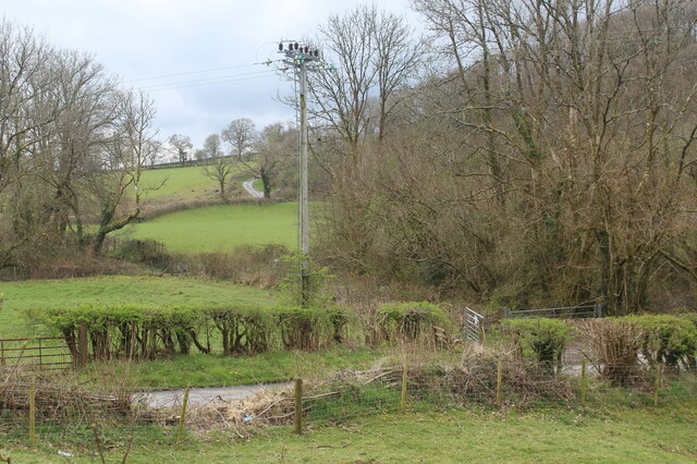
Allt y Wern is a beautiful woodland area located in Carmarthenshire, Wales. Covering a vast expanse of land, it is known for its stunning natural beauty and diverse range of flora and fauna.

The woodland is situated on the slopes of the Nantgaredig Valley, providing panoramic views of the surrounding landscape. It is primarily made up of native Welsh trees, including oak, beech, and ash, which create a dense and lush forest canopy.

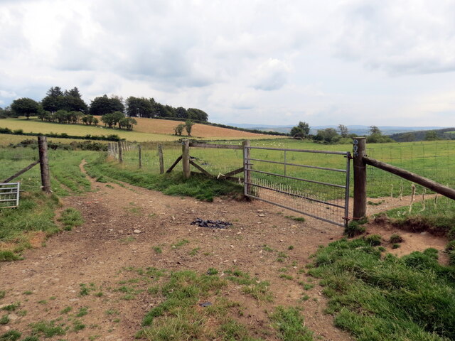
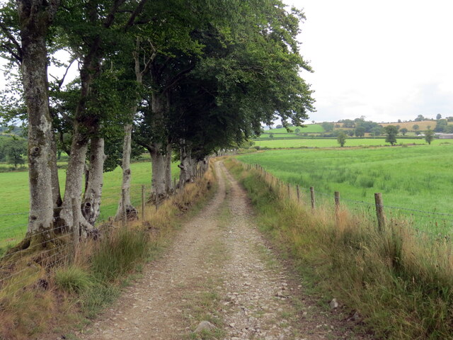
Allt y Wern is a popular destination for nature lovers and outdoor enthusiasts, offering a range of activities for visitors to enjoy. There are numerous walking trails that wind through the woodland, allowing visitors to explore its hidden corners and discover its natural treasures. The trails vary in difficulty, catering to both casual strollers and experienced hikers.

The forest is also home to a variety of wildlife species. Birdwatchers will delight in spotting rare and native birds, such as red kites, buzzards, and woodpeckers. The woodland is also inhabited by mammals like badgers, foxes, and deer, making it a haven for wildlife enthusiasts.

Additionally, Allt y Wern is an important conservation site, with efforts being made to protect and preserve its biodiversity. The woodland is managed sustainably, ensuring that its natural habitats are maintained and enhanced.

Overall, Allt y Wern offers a tranquil and picturesque escape from the hustle and bustle of everyday life. Its natural beauty, diverse wildlife, and well-maintained trails make it a must-visit destination for anyone seeking a peaceful retreat in the heart of Carmarthenshire.

If you have any feedback on the listing, please let us know in the comments section below.
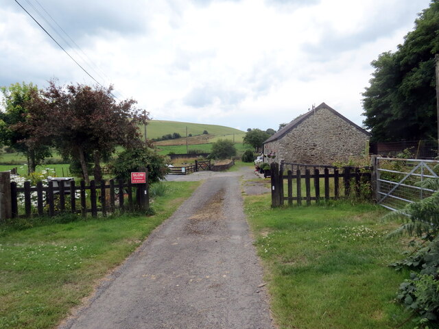
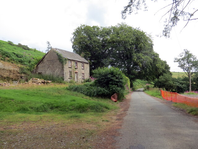
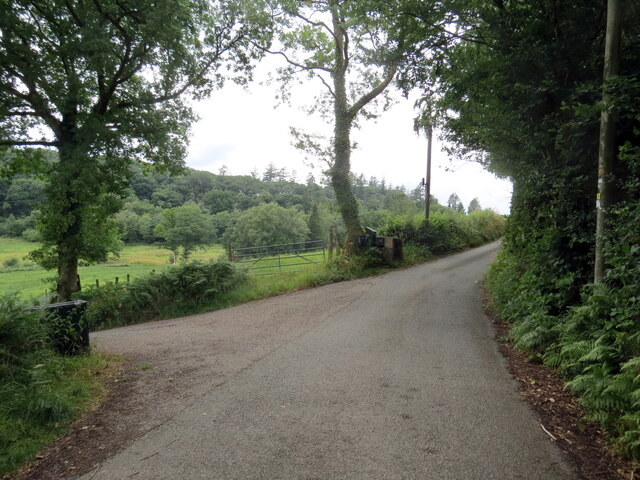
Allt y Wern Images

Images are sourced within 2km of 52.050369/-3.9941026 or Grid Reference SN6340. Thanks to Geograph Open Source API. All images are credited.
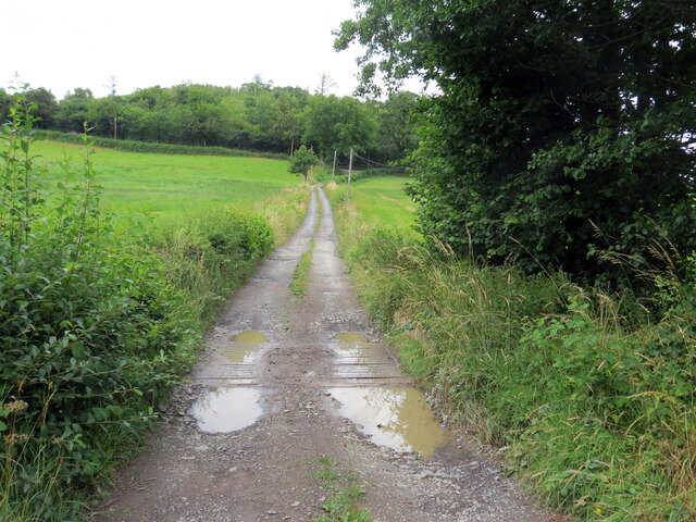
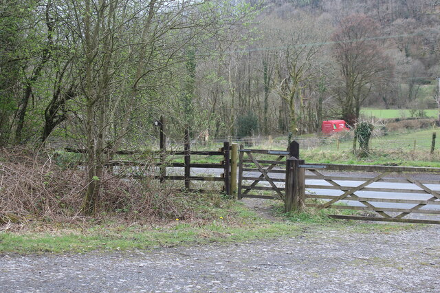
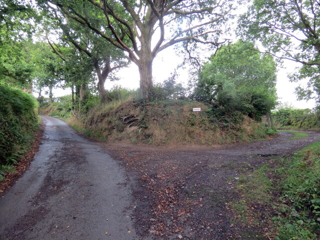
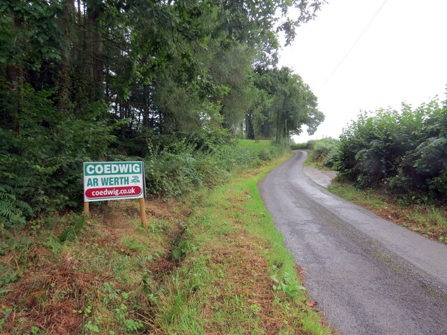
Gates at start of track from A482 The track turns to go uphill, track in <a href="https://www.geograph.org.uk/photo/7148930">SN6540 : Track up to Allt Dolaucothi from A482</a>. The red van is on a minor road from the A482 towards Pont Maes-troyddyn.
Gates at start of track from A482
The track turns to go uphill, track in SN6540 : Track up to Allt Dolaucothi from A482. The red van is on a minor road from the A482 towards Pont Maes-troyddyn.
Roadside electricity transmission pole Pole by minor road to Pont Maes-troyddyn from A482 just north of Pumsaint.
Roadside electricity transmission pole
Pole by minor road to Pont Maes-troyddyn from A482 just north of Pumsaint.
Lle mae pedwar llwybr yn cwrdd / Where four paths meet Lleoliad lle mae pedwar llwybr ceffyl yn cwrdd.

Location where four bridleways meet.
Lle mae pedwar llwybr yn cwrdd / Where four paths meet
Lleoliad lle mae pedwar llwybr ceffyl yn cwrdd. Location where four bridleways meet.
Llwybr i Faesdy / Path to Maesdy Llwybr ceffyl yn mynd i gyfeiriad anhedd-dy o'r enw Maesdy.

A bridleway heading in the direction of a property known as Maesdy.
Llwybr i Faesdy / Path to Maesdy
Llwybr ceffyl yn mynd i gyfeiriad anhedd-dy o'r enw Maesdy. A bridleway heading in the direction of a property known as Maesdy.
Llwybr Maesdy / Maesdy path Llwybr ceffyl yn agosau at anhedd-dy o'r enw Maesdy.

A bridleway approaches a property known as Maesdy.
Llwybr Maesdy / Maesdy path
Llwybr ceffyl yn agosau at anhedd-dy o'r enw Maesdy. A bridleway approaches a property known as Maesdy.
Llwybr Maesdy / Maesdy path Llwybr ceffyl yn mynd heibio i anhedd-dy o'r enw Maesdy.

A bridleway passes a property known as Maesdy.
Llwybr Maesdy / Maesdy path
Llwybr ceffyl yn mynd heibio i anhedd-dy o'r enw Maesdy. A bridleway passes a property known as Maesdy.
Bwlch-y-coed Heol fach yn mynd heibio i anhedd-dy o'r enw Bwlch-y-coed.

A minor road passes a property known as Bwlch-y-coed (trans. pass of the wood).
Bwlch-y-coed
Heol fach yn mynd heibio i anhedd-dy o'r enw Bwlch-y-coed. A minor road passes a property known as Bwlch-y-coed (trans. pass of the wood).
Llwybr yn gadael yr heol / Path exits the road Llwybr cyhoeddus a ffordd fynediad yn gadael yr heol.

A public footpath and access road exit the road.
Llwybr yn gadael yr heol / Path exits the road
Llwybr cyhoeddus a ffordd fynediad yn gadael yr heol. A public footpath and access road exit the road.
Llwybr Hafodymaidd / Hafodymaidd path Llwybr cyhoeddus yn agosau at heol fach.

A public footpath approaches a minor road
Llwybr Hafodymaidd / Hafodymaidd path
Llwybr cyhoeddus yn agosau at heol fach. A public footpath approaches a minor road
Llwybr Berllan-dywyll / Berllan-dywyll path Llwybr cyhoeddus a ffordd fynedfa yn mynd tuag at anhedd-dy o'r enw Berllan-dywyll. 

A public footpath and access road heading towards a property known as Berllan-dywyll (trans. dark / sinister orchard).
Llwybr Berllan-dywyll / Berllan-dywyll path
Llwybr cyhoeddus a ffordd fynedfa yn mynd tuag at anhedd-dy o'r enw Berllan-dywyll. A public footpath and access road heading towards a property known as Berllan-dywyll (trans. dark / sinister orchard).
Pysgodfa Springwater / Springwater Fishery Llwybr cyhoeddus yn mynd heibio i Bysgodfa Springwater.

A public footpath passes Springwater Fishery.
Pysgodfa Springwater / Springwater Fishery
Llwybr cyhoeddus yn mynd heibio i Bysgodfa Springwater. A public footpath passes Springwater Fishery.
Llwybr Bryneglwys Fawr / Bryneglwys Fawr path Llwybr cyhoeddus yn mynd i lawr y waered ger Ffarm Bryneglwys Fawr,

A public footpath descends the hill near Bryneglwys Fawr (trans. the larger church hill [farm]).
Llwybr Bryneglwys Fawr / Bryneglwys Fawr path
Llwybr cyhoeddus yn mynd i lawr y waered ger Ffarm Bryneglwys Fawr, A public footpath descends the hill near Bryneglwys Fawr (trans. the larger church hill [farm]).
Llwybr ger Glanyrafon / Path near Glanyrafon Llwybr cyhoeddus ger anhedd-dy o'r enw Glanyrafon.

A public footpath near a property known as Glanyrafon (trans. riverside).
Llwybr ger Glanyrafon / Path near Glanyrafon
Llwybr cyhoeddus ger anhedd-dy o'r enw Glanyrafon. A public footpath near a property known as Glanyrafon (trans. riverside).
Heol fynedfa Gwarallt / Gwarallt access road Heol fynedfa Gwarallt yn gadael y ffordd.

Gwarallt (trans. upper part of the hill) access road exiting the road.
Heol fynedfa Gwarallt / Gwarallt access road
Heol fynedfa Gwarallt yn gadael y ffordd. Gwarallt (trans. upper part of the hill) access road exiting the road.
Heol fach wledig / Minor rural road Heol fach wledig uwchben Ffarm Dryslwyn.

A minor rural road above Dryslwyn Farm (trans. a thicket).
Heol fach wledig / Minor rural road
Heol fach wledig uwchben Ffarm Dryslwyn. A minor rural road above Dryslwyn Farm (trans. a thicket).
Heol fach wledig / Rural minor road Heol fach wledig ger pentre Pumsaint.

A small rural road near the village of Pumsaint (trans. five saints)
Heol fach wledig / Rural minor road
Heol fach wledig ger pentre Pumsaint. A small rural road near the village of Pumsaint (trans. five saints)
Maesdy Churn Stand
Maesdy Churn Stand
Ordnance Survey Rivet This damaged OS rivet can be found on the NE parapet of the bridge. It marked a point 189.500m above mean sea level.
Ordnance Survey Rivet
This damaged OS rivet can be found on the NE parapet of the bridge. It marked a point 189.500m above mean sea level.
Show me another place!

Allt y Wern is located at Grid Ref: SN6340 (Lat: 52.050369, Lng: -3.9941026)

Unitary Authority: Carmarthenshire

Police Authority: Dyfed Powys

What 3 Words

///pancakes.dwarf.poetic. Near Llansawel, Carmarthenshire

Nearby Locations

Allt y Wern Allt Cwm-cadno

Related Wikis

Afon Twrch, Carmarthenshire

The Afon Twrch is a short river in Carmarthenshire, West Wales. It joins the River Cothi (itself a left-bank tributary of the River Towy) at the village...

Pumsaint

Pumsaint is a village in Carmarthenshire, Wales, halfway between Llanwrda and Lampeter on the A482 in the valley of the Afon Cothi. It forms part of the...

Luentinum

Luentinum or Loventium refers to the Roman fort at Pumsaint, Carmarthenshire. The 1.9 hectares (4.7 acres) site lies either side of the A482 in Pumsaint...

Cynwyl Gaeo

Cynwyl Gaeo is a parish and community located in rural Carmarthenshire, Wales, near the boundary with Ceredigion, in the upper Cothi valley about halfway...

Dolaucothi Gold Mines

The Dolaucothi Gold Mines (pronounced [ˌdɔlaiˈkɔθɪ]; Welsh: Mwynfeydd Aur Dolaucothi) (grid reference SN662403), also known as the Ogofau Gold Mine, are...

Dolaucothi Estate

The Dolaucothi Estate (also Dolaucothy) is situated about 1 mile (1.6 km) north-west of the village of Caio up the Cothi Valley in the community of Cynwyl...

Ffaldybrenin

Ffaldybrenin is a village in Llanycrwys community formed around the parish church in Carmarthenshire, Wales. In the late 19th century Church and State...

Llanycrwys

Llanycrwys is a hamlet and community located in Carmarthenshire, Wales. Situated in the historical Cayo Hundred in the Union of Lampeter, it is situated...

Nearby Amenities

Located within 500m of 52.050369,-3.9941026
Direction: 190
Generator Method: photovoltaic
Generator Output Electricity: yes
Generator Solar Modules: 17
Generator Source: solar
Generator Type: solar_photovoltaic_panel
Location: roof
Power: generator
Lat/Long: 52.0515598/-3.997919
The data included in this document is from www.openstreetmap.org. The data is made available under ODbL.

Have you been to Allt y Wern?

Leave your review of Allt y Wern below (or comments, questions and feedback).