Allt Dderw
Wood, Forest in Cardiganshire
Wales
Allt Dderw
Allt Dderw, located in Cardiganshire, Wales, is a captivating woodland area known for its scenic beauty and diverse ecosystem. Spanning over several hectares, this wood is a haven for nature enthusiasts and serves as a valuable habitat for numerous species of plants and animals.
The woodland is primarily composed of a mix of deciduous and coniferous trees, including oak, beech, birch, and pine. The dense canopy created by these trees provides a sheltered environment for a variety of wildlife, including birds, mammals, and insects. Visitors can expect to spot common species such as red squirrels, woodpeckers, and various butterflies.
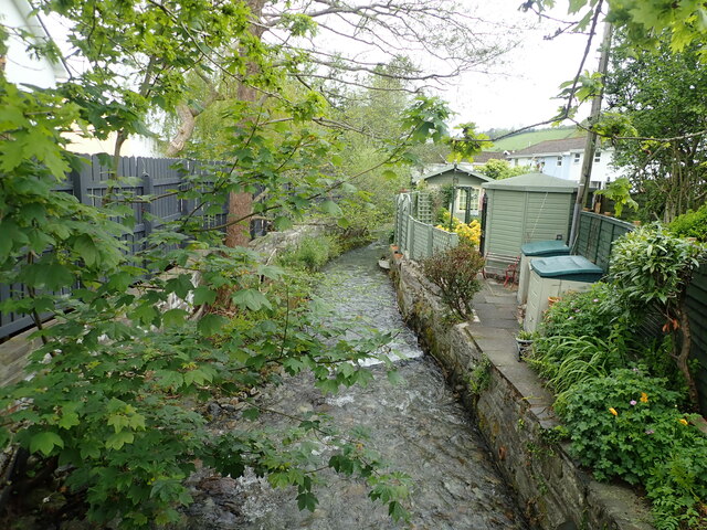
Allt Dderw offers a network of well-maintained walking trails that meander through the wood, allowing visitors to explore its beauty at their own pace. These trails provide an opportunity to appreciate the tranquility of the surroundings and observe the wood's unique flora and fauna up close. The wood is also home to a small stream, adding to its picturesque charm.
In addition to its natural beauty, Allt Dderw holds historical significance. It is believed that the area was once utilized for timber production, evidenced by the remains of old saw pits and charcoal platforms found within the wood. These remnants serve as a reminder of the wood's past and the importance of sustainable forest management.
Overall, Allt Dderw in Cardiganshire is a captivating woodland, offering a rich bio-diversity, peaceful walking trails, and a glimpse into its historical past. Whether you are a nature lover, a history enthusiast, or simply seeking a peaceful retreat, this wood is sure to leave a lasting impression.
If you have any feedback on the listing, please let us know in the comments section below.
Allt Dderw Images
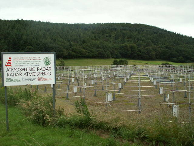
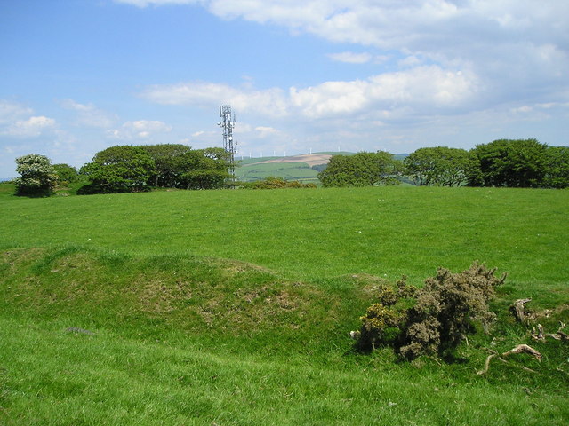
Images are sourced within 2km of 52.430166/-4.0117371 or Grid Reference SN6383. Thanks to Geograph Open Source API. All images are credited.


Allt Dderw is located at Grid Ref: SN6383 (Lat: 52.430166, Lng: -4.0117371)
Unitary Authority: Ceredigion
Police Authority: Dyfed Powys
What 3 Words
///butter.include.blunders. Near Bow Street, Ceredigion
Nearby Locations
Related Wikis
Gogerddan
Gogerddan, or in English, Gogarthen, was an estate near to Trefeurig and the most important in what was then the county of Cardiganshire, Wales. Owned...
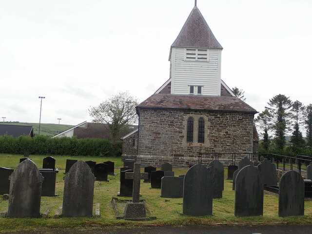
Capel Dewi, Faenor
Capel Dewi is a hamlet in Ceredigion, Wales, approximately 3.5 miles (5.6 km) east of Aberystwyth. It is one of two settlements called Capel Dewi in the...
Hen Gaer
Hen Gaer is an Iron Age hillfort, on a hill adjacent to and east of Bow Street, Ceredigion, Wales. Other names of the hillfort are Broncastellan and Caer...

Penrhyncoch F.C.
Penrhyncoch Football Club (Welsh: Clwb Pêl Droed Penrhyncoch) is a semi-professional football club based in Penrhyn-coch, Ceredigion, Wales. They currently...
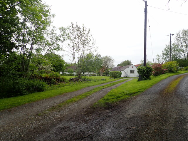
Penrhyn-coch
Penrhyn-coch is a small Welsh village, in the community of Trefeurig, Ceredigion, located between the Afon Stewi and Nant Seilo rivers, close to where...

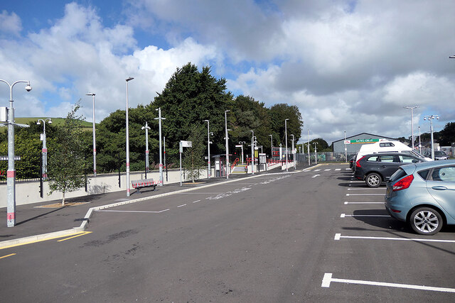
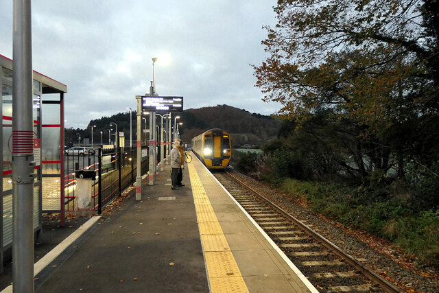
Bow Street railway station
Bow Street is a railway station on the Cambrian Line, which runs between Shrewsbury and Aberystwyth or Pwllheli. The station, situated 4 miles 30 chains...
Faenor, Ceredigion
Faenor is a community and electoral ward sharing a boundary with the town of Aberystwyth in Ceredigion, Wales.Faenor also has two community wards which...

Bow Street, Ceredigion
Bow Street is a large village in the Tirymynach district of Ceredigion, Wales, approximately 3.5 miles (5.6 km) north-east of Aberystwyth. As well as Bow...
Nearby Amenities
Located within 500m of 52.430166,-4.0117371Have you been to Allt Dderw?
Leave your review of Allt Dderw below (or comments, questions and feedback).