Coed Bronydd-uchaf

Wood, Forest in Caernarfonshire

Wales

Coed Bronydd-uchaf

Dŵr Cymru / Welsh Water sign on Britannia Street, Rachub
Dŵr Cymru / Welsh Water sign on Britannia Street, Rachub Credit: Meirion

Coed Bronydd-uchaf is a picturesque woodland located in the county of Caernarfonshire, Wales. This enchanting forest covers an area of approximately 200 acres and is nestled amidst the stunning Snowdonia National Park. It attracts nature enthusiasts, hikers, and those seeking tranquility in a natural setting.

The woodland offers a diverse range of tree species, including oak, beech, ash, and birch, creating a rich and vibrant landscape. The thick canopy provides shade and shelter for a variety of wildlife, making it an ideal habitat for numerous bird species, squirrels, and other small mammals.

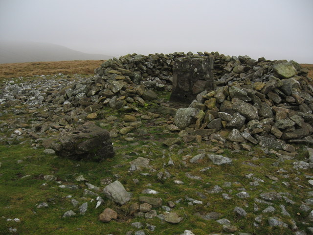
Trails wind through the forest, providing visitors with an opportunity to explore and immerse themselves in its natural beauty. The paths are well-maintained, ensuring ease of access for all visitors. Along the way, one can encounter ancient stone walls and remnants of old buildings, which add a touch of historical charm to the surroundings.

Coed Bronydd-uchaf is particularly renowned for its breathtaking display of bluebells during the spring season. The forest floor is transformed into a sea of vibrant blue hues, creating a truly magical sight for those fortunate enough to witness it.

Visitors to the woodland can enjoy various recreational activities such as walking, jogging, and picnicking. The peaceful atmosphere and serene surroundings make it an ideal spot for relaxation and rejuvenation.

Overall, Coed Bronydd-uchaf offers a delightful escape into nature, providing a haven of tranquility and natural beauty for all who visit.

If you have any feedback on the listing, please let us know in the comments section below.

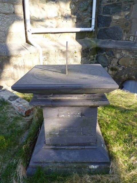
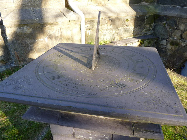
Coed Bronydd-uchaf Images

Images are sourced within 2km of 53.205684/-4.0514966 or Grid Reference SH6369. Thanks to Geograph Open Source API. All images are credited.

Dŵr Cymru / Welsh Water sign on Britannia Street, Rachub
Sign at Tan y Bwlch substation on Tan y Garth, Rachub
Temporary traffic lights warning sign on Llwyn Bleddyn Road, Rachub
Eglwys St. Llechid, Llanllechid
Benchmark on Eglwys St. Llechid, Llanllechid This benchmark is located at the N angle of Eglwys St. Llechid in Llanllechid & it is shown in the current Ordnance Survey database at a height of 173.4312m above the Newlyn datum.
Benchmark on Eglwys St. Llechid, Llanllechid
This benchmark is located at the N angle of Eglwys St. Llechid in Llanllechid & it is shown in the current Ordnance Survey database at a height of 173.4312m above the Newlyn datum.
Sundial in the grounds of Eglwys St. Llechid, Llanllechid An interesting slate sundial in the grounds of Eglwys St. Llechid.
Sundial in the grounds of Eglwys St. Llechid, Llanllechid
An interesting slate sundial in the grounds of Eglwys St. Llechid.
Another view of the sundial in the grounds of Eglwys St. Llechid
Benchmark near Plâs-uchaf, Llanllechid This benchmark is located at the W side of a narrow country lane near Plâs-uchaf farm in Llanllechid. The mark is not shown in the current Ordnance Survey database but is shown on an 1900 map of the area at a height of 590.8ft above the Liverpool datum.
Benchmark near Plâs-uchaf, Llanllechid
This benchmark is located at the W side of a narrow country lane near Plâs-uchaf farm in Llanllechid. The mark is not shown in the current Ordnance Survey database but is shown on an 1900 map of the area at a height of 590.8ft above the Liverpool datum.
Red telephone kiosk, Llanllechid A BT red kiosk located in the main square of the small village of Llanllechid.
Red telephone kiosk, Llanllechid
A BT red kiosk located in the main square of the small village of Llanllechid.
The Royal Oak, Rachub
Cairn, western side of Moel Faban
Gorlan ger Bwlch ym Mhwll-le Sheep pens, Moel Faban beyond.
Gorlan ger Bwlch ym Mhwll-le
Sheep pens, Moel Faban beyond.
Disused Quarry, Gyrn
Summit cairn and remains of trig point, Moel Wnion
Rhiw Goch
Rhiw Goch
Afon y Llan
Afon y Llan
Benchmark on large boulder on Ffordd Llanllechid, Llanllechid This mark can be found on the W side of Ffordd Llanllechid in Llanllechid. For more details see: <span class="nowrap"><a title="http://www.bench-marks.org.uk/bm26068" rel="nofollow ugc noopener" href="http://www.bench-marks.org.uk/bm26068">Link</a><img style="margin-left:2px;" alt="External link" title="External link - shift click to open in new window" src="https://s1.geograph.org.uk/img/external.png" width="10" height="10"/></span>
Benchmark on large boulder on Ffordd Llanllechid, Llanllechid
This mark can be found on the W side of Ffordd Llanllechid in Llanllechid. For more details see: LinkExternal link
Bryn Hall Quarry
Bryn Hall Quarry
Show me another place!

Coed Bronydd-uchaf is located at Grid Ref: SH6369 (Lat: 53.205684, Lng: -4.0514966)

Unitary Authority: Gwynedd

Police Authority: North Wales

What 3 Words

///timidly.wizard.feasted. Near Bethesda, Gwynedd

Nearby Locations

Coed Bronydd-uchaf

Related Wikis

Llanllechid

Llanllechid (Welsh: [ɬanˈɬɛχɪd]) is a village near Bethesda and a community in Gwynedd, Wales with a population of 889 as of the 2011 UK census and an...

Rachub

Rachub (Welsh: ['raχɨb]) is a village of about 900 people in Dyffryn Ogwen (the Ogwen Valley), Gwynedd, Wales, about three-quarters of an mile (1.2 km...

Cochwillan

Cochwillan is a medieval hall house situated in the lower Ogwen Valley, south of the village of Talybont in the parish of Llanllechid, between Bethesda...

Ysgol Dyffryn Ogwen

Ysgol Dyffryn Ogwen ("Ogwen Valley School") is a bilingual secondary school for pupils aged 11 to 19 years. It is situated in Bethesda in the Ogwen valley...

Nearby Amenities

Located within 500m of 53.205684,-4.0514966
Barrier: kissing_gate
Lat/Long: 53.2018749/-4.0552761
Power: pole
Lat/Long: 53.201772/-4.0533168
Power: pole
Lat/Long: 53.202542/-4.0527051
Power: pole
Lat/Long: 53.2033312/-4.0520761
Power: pole
Lat/Long: 53.2037888/-4.0517125
Power: pole
Lat/Long: 53.20397/-4.0531315
The data included in this document is from www.openstreetmap.org. The data is made available under ODbL.

Have you been to Coed Bronydd-uchaf?

Leave your review of Coed Bronydd-uchaf below (or comments, questions and feedback).