Coed Hafod-talog
Wood, Forest in Merionethshire
Wales
Coed Hafod-talog
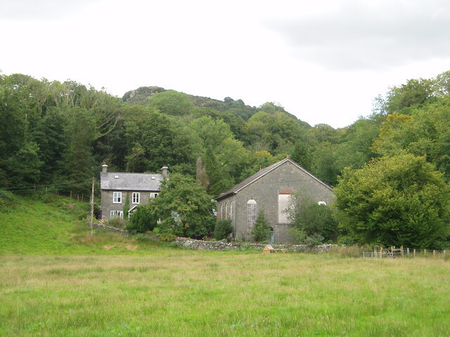
Coed Hafod-talog, located in the historic county of Merionethshire in Wales, is a picturesque wood or forest encompassing approximately 500 acres of land. Nestled within the stunning landscape of Snowdonia National Park, this natural haven offers visitors a unique and immersive experience.
The wood is primarily composed of native broadleaf trees, such as oak, birch, and ash, which create a diverse and vibrant habitat for a range of wildlife species. Visitors can explore the woodland through a network of well-maintained footpaths, allowing them to fully appreciate the tranquility and beauty of the area.
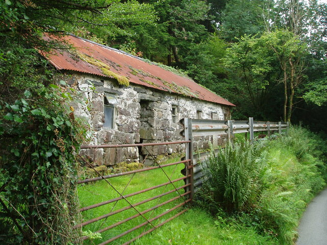
Coed Hafod-talog boasts a rich cultural and historical heritage. It was once part of a larger estate and has been carefully managed for centuries, resulting in a mature and thriving woodland ecosystem. Alongside the natural splendor, remnants of past human activity can be found, including ancient boundary walls and the remains of old buildings.
This woodland gem offers a variety of recreational activities for visitors to enjoy. Nature enthusiasts can indulge in birdwatching, as the wood is home to a multitude of avian species, including woodpeckers, warblers, and owls. The diverse flora attracts a wide range of butterflies and insects, providing ample opportunities for insect enthusiasts as well.
Coed Hafod-talog is a haven for outdoor enthusiasts who enjoy hiking and walking. The serene environment and breathtaking views make it an ideal location for leisurely strolls or more strenuous hikes. The wood is also well-equipped with visitor facilities, including picnic areas and car parking.
Overall, Coed Hafod-talog in Merionethshire is a natural treasure that offers visitors a chance to escape the hustle and bustle of everyday life, immerse themselves in nature, and appreciate the beauty and tranquility of a Welsh woodland.
If you have any feedback on the listing, please let us know in the comments section below.
Coed Hafod-talog Images
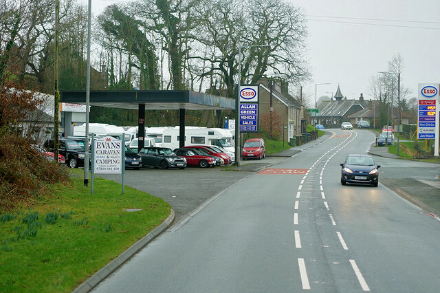
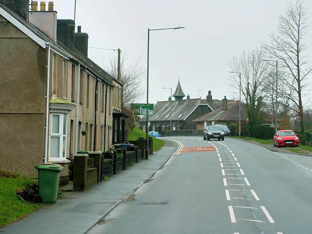
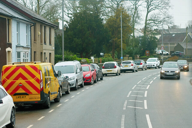
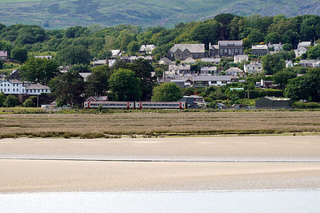
Images are sourced within 2km of 52.938155/-4.0501547 or Grid Reference SH6239. Thanks to Geograph Open Source API. All images are credited.


Coed Hafod-talog is located at Grid Ref: SH6239 (Lat: 52.938155, Lng: -4.0501547)
Unitary Authority: Gwynedd
Police Authority: North Wales
What 3 Words
///tabloid.vintages.expressed. Near Penrhyndeudraeth, Gwynedd
Nearby Locations
Related Wikis

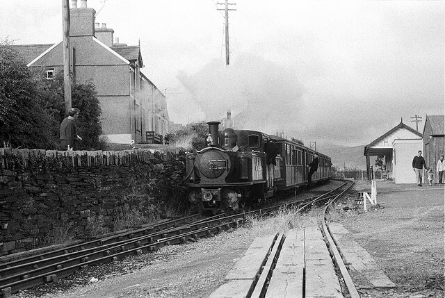
Rhiw Goch
Rhiw Goch is a passing point on the Ffestiniog Railway north of the village of Penrhyndeudraeth in Wales. It was originally a passing loop and an exchange...

Gwaith Powdwr
Gwaith Powdwr, (English: Powder Works), situated in Penrhyndeudraeth, Wales, is a decommissioned explosives works now managed as a Nature Reserve by the...

Penrhyn railway station
Penrhyn railway station on the Ffestiniog Railway is located on a restricted site at Pen-y-Bwlch above the town of Penrhyndeudraeth (Penrhyndeudraeth means...
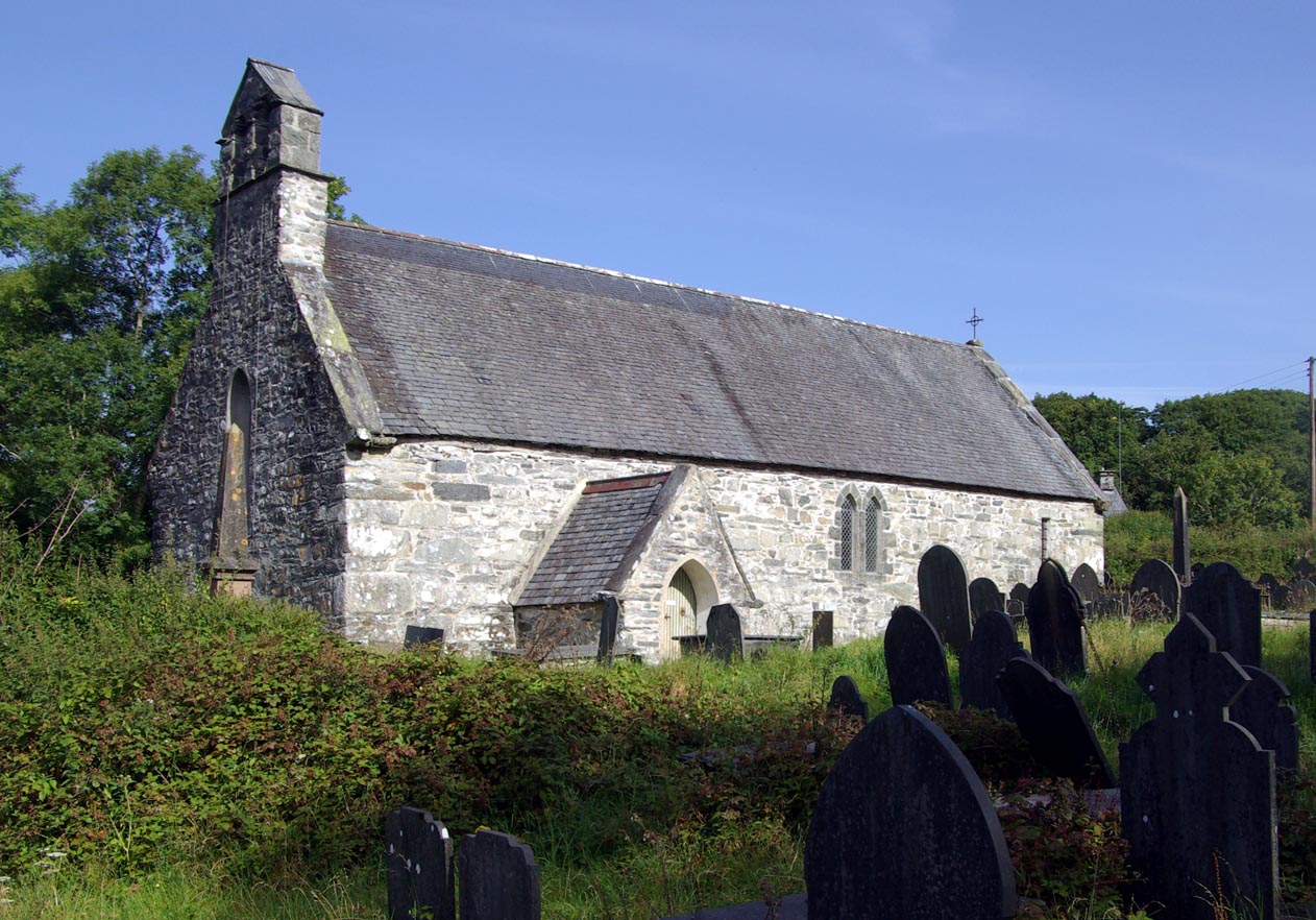
St Brothen's Church, Llanfrothen
St Brothen's Church, Llanfrothen, is a redundant church at the edge of the village of Llanfrothen, Gwynedd, Wales. It is designated by Cadw as a Grade...
Nearby Amenities
Located within 500m of 52.938155,-4.0501547Have you been to Coed Hafod-talog?
Leave your review of Coed Hafod-talog below (or comments, questions and feedback).