Bryn Dwyryd
Hill, Mountain in Merionethshire
Wales
Bryn Dwyryd

Bryn Dwyryd is a hill located in the county of Merionethshire, Wales. It is situated in the Snowdonia National Park, offering breathtaking views and a serene environment. With an elevation of approximately 185 meters (607 feet), it is not considered a particularly high mountain, but it still offers a challenging hike for outdoor enthusiasts.
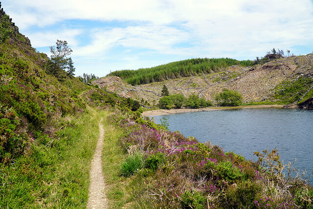
The hill is characterized by its rugged and rocky terrain, covered in lush green vegetation, heather, and scattered wildflowers during the warmer months. The path to the summit is well-marked, making it accessible to both experienced hikers and beginners. Along the way, walkers can enjoy the diverse flora and fauna of the area, including various bird species and small mammals.
At the top of Bryn Dwyryd, visitors are rewarded with panoramic views of the surrounding landscape. On clear days, it is possible to see the majestic peaks of Snowdonia, including Mount Snowdon itself, the highest mountain in Wales. The hill also provides an excellent vantage point to admire the tranquil waters of the nearby Dwyryd Estuary, which stretches towards the coast.
Bryn Dwyryd is a popular destination for outdoor activities such as hiking, hillwalking, and nature photography. Its proximity to other notable attractions in Snowdonia, such as Portmeirion and Harlech Castle, makes it an ideal location for day trips or longer stays. Whether seeking adventure or simply looking to immerse oneself in nature, Bryn Dwyryd offers a memorable and picturesque experience for visitors of all ages.
If you have any feedback on the listing, please let us know in the comments section below.
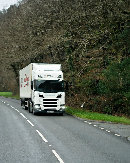
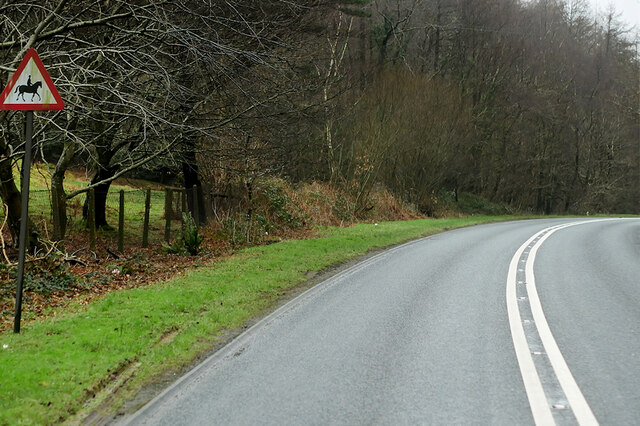
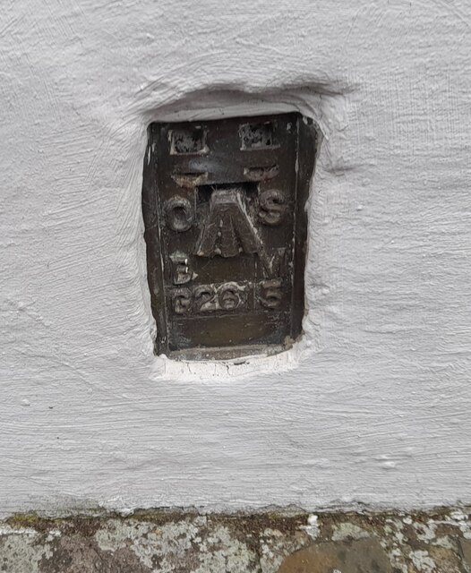
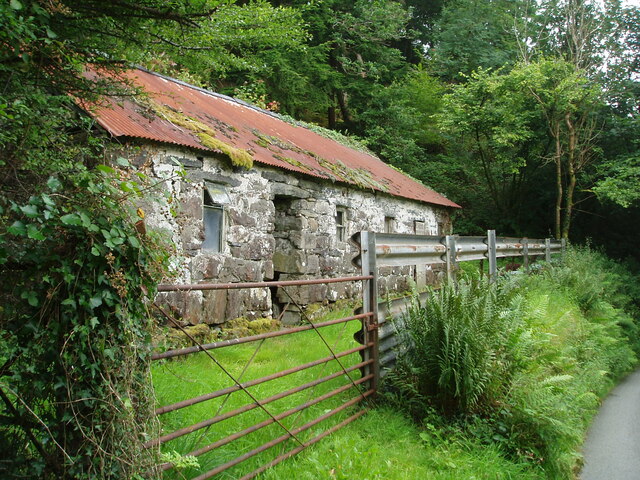
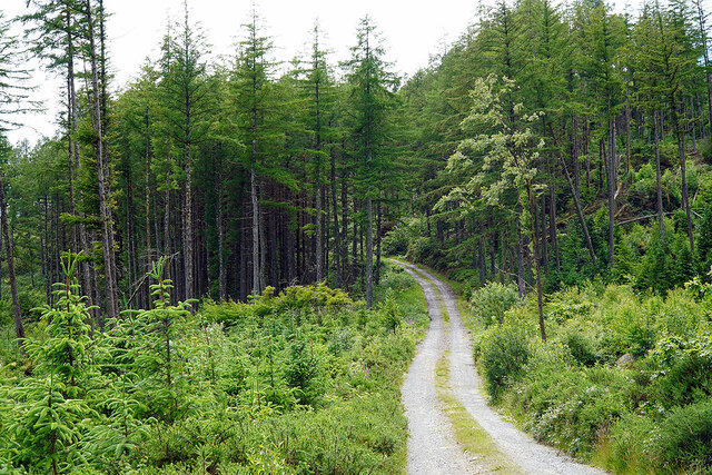
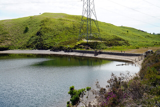
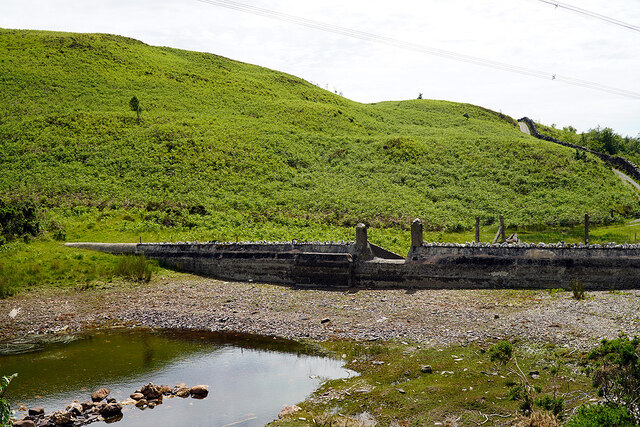
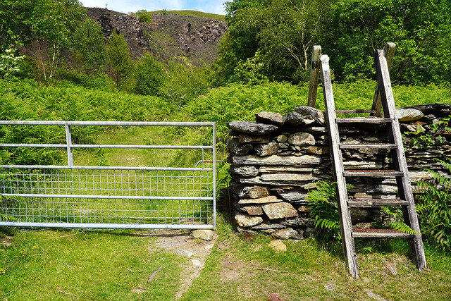
Bryn Dwyryd Images
Images are sourced within 2km of 52.935133/-4.0454881 or Grid Reference SH6239. Thanks to Geograph Open Source API. All images are credited.


Bryn Dwyryd is located at Grid Ref: SH6239 (Lat: 52.935133, Lng: -4.0454881)
Unitary Authority: Gwynedd
Police Authority: North Wales
What 3 Words
///crib.invested.revealing. Near Penrhyndeudraeth, Gwynedd
Nearby Locations
Related Wikis

Gwaith Powdwr
Gwaith Powdwr, (English: Powder Works), situated in Penrhyndeudraeth, Wales, is a decommissioned explosives works now managed as a Nature Reserve by the...

Rhiw Goch
Rhiw Goch is a passing point on the Ffestiniog Railway north of the village of Penrhyndeudraeth in Wales. It was originally a passing loop and an exchange...

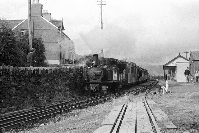
Penrhyn railway station
Penrhyn railway station on the Ffestiniog Railway is located on a restricted site at Pen-y-Bwlch above the town of Penrhyndeudraeth (Penrhyndeudraeth means...
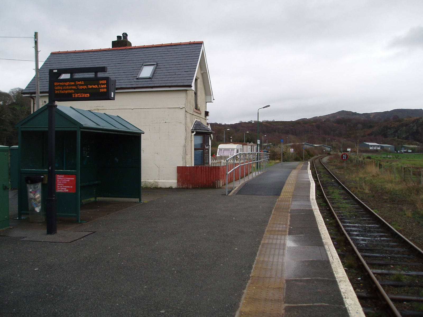
Penrhyndeudraeth railway station
Penrhyndeudraeth railway station is a railway station serving the small town of Penrhyndeudraeth on the Dwyryd Estuary in Gwynedd, Wales. It is a station...
Nearby Amenities
Located within 500m of 52.935133,-4.0454881Have you been to Bryn Dwyryd?
Leave your review of Bryn Dwyryd below (or comments, questions and feedback).