Coed Tangaer

Wood, Forest in Cardiganshire

Wales

Coed Tangaer

Ordnance Survey Rivet This OS rivet can be found on the east parapet of the bridge. It marks a point 148.215m above mean sea level.
Ordnance Survey Rivet Credit: Adrian Dust

Coed Tangaer, located in Cardiganshire, is a serene and captivating wood known for its enchanting forests and natural beauty. Spanning an area of approximately 200 acres, this woodland is a haven for nature lovers and outdoor enthusiasts alike.

The wood is characterized by its diverse range of tree species, including oak, beech, and ash, which create a lush and vibrant canopy. The rich undergrowth is adorned with ferns, bluebells, and wildflowers, adding to the wood's picturesque charm.

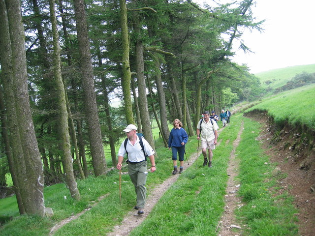
Walking through Coed Tangaer feels like stepping into a fairytale, with winding paths that lead adventurers deep into the heart of the forest. The air is filled with the sweet scent of pine, and the sound of birdsong creates a symphony of nature.

The wood is home to a variety of wildlife, providing ample opportunities for wildlife spotting. Visitors may catch a glimpse of squirrels, badgers, and even elusive deer. Birdwatchers will delight in the abundance of species, including woodpeckers, owls, and various songbirds.

Coed Tangaer offers a range of activities for visitors to enjoy. Hiking trails meander through the wood, offering breathtaking views of the surrounding countryside. Picnic spots are scattered throughout the area, providing the perfect setting for a leisurely lunch amidst nature's beauty.

As a designated Site of Special Scientific Interest, Coed Tangaer is not only a natural gem but also an important conservation area. The wood is carefully managed, ensuring the preservation of its unique ecosystem and biodiversity.

Overall, Coed Tangaer is a tranquil and captivating woodland that offers a peaceful retreat for those seeking solace in nature's embrace.

If you have any feedback on the listing, please let us know in the comments section below.
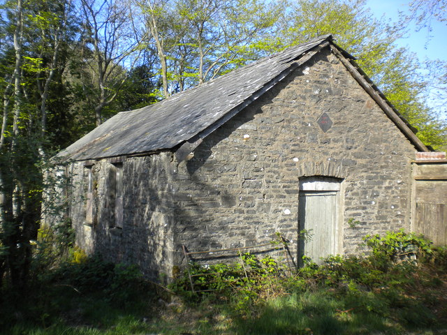
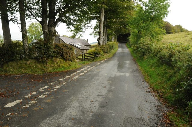
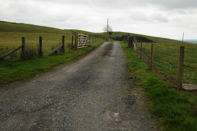
Coed Tangaer Images

Images are sourced within 2km of 52.108597/-4.0154368 or Grid Reference SN6247. Thanks to Geograph Open Source API. All images are credited.

Ordnance Survey Rivet This OS rivet can be found on the east parapet of the bridge. It marks a point 148.215m above mean sea level.
Ordnance Survey Rivet
This OS rivet can be found on the east parapet of the bridge. It marks a point 148.215m above mean sea level.
Ordnance Survey Cut Mark This OS cut mark can be found on Ty-pentrefelin. It marks a point 154.561m above mean sea level.
Ordnance Survey Cut Mark
This OS cut mark can be found on Ty-pentrefelin. It marks a point 154.561m above mean sea level.
Uwchben Esgair Crwys / Above Esgair Crwys Cerddwyr yn dilyn llwybr cyhoeddus uwchben Ffarm Esgair Crwys.

Walkers following a public footpath above Esgair Crwys Farm (trans. ridge of crosses).
Uwchben Esgair Crwys / Above Esgair Crwys
Cerddwyr yn dilyn llwybr cyhoeddus uwchben Ffarm Esgair Crwys. Walkers following a public footpath above Esgair Crwys Farm (trans. ridge of crosses).
Esgairlas Sunday School This Sunday School was built in 1897 and is now being converted into a dwelling.
Esgairlas Sunday School
This Sunday School was built in 1897 and is now being converted into a dwelling.
Farmland between the Teifi and Twrch valleys
Road junction near Cefnbryn Junction of country roads near Cefnbryn.
Road junction near Cefnbryn
Junction of country roads near Cefnbryn.
Farmland track A farmland access track on upland grazing land near Allt Goch.
Farmland track
A farmland access track on upland grazing land near Allt Goch.
Heather and upland grazing Heather and upland grazing above the Teifi valley just in Ceredigion.
Heather and upland grazing
Heather and upland grazing above the Teifi valley just in Ceredigion.
Upland road Upland road to Cellan above the Teifi valley.
Upland road
Upland road to Cellan above the Teifi valley.
Field gate and upland grazing Field gate and upland grazing above the Teifi valley to the south-east of Cellan.
Field gate and upland grazing
Field gate and upland grazing above the Teifi valley to the south-east of Cellan.
Barn and Coed Tangear The top of what appears to be a Dutch barn with Coed Tangear in the background.
Barn and Coed Tangear
The top of what appears to be a Dutch barn with Coed Tangear in the background.
Entrance to Ty'n-y-coed Entrance and track to Ty'n-y-coed near Cellan.
Entrance to Ty'n-y-coed
Entrance and track to Ty'n-y-coed near Cellan.
Field near Ael-y-bryn Sheep in a field and a stack of silage bales near Ael-y-bryn, Cellan.
Field near Ael-y-bryn
Sheep in a field and a stack of silage bales near Ael-y-bryn, Cellan.
Farmland near Blaenau-isaf Farmland near Blaenau-isaf to the east of Cellan.
Farmland near Blaenau-isaf
Farmland near Blaenau-isaf to the east of Cellan.
Farmland above Cae-garw Ffrwd Cynon flows through the valley.
Farmland above Cae-garw
Ffrwd Cynon flows through the valley.
Upland near Sychnant Roadside hedge and upland terrain near Sychnant to the east of Cellan.
Upland near Sychnant
Roadside hedge and upland terrain near Sychnant to the east of Cellan.
Ruin of a roadside cottage There was a caravan to the rear of this ruined cottage beside this road to the east of Cellan which suggests work may be about to begin on restoring it.
Ruin of a roadside cottage
There was a caravan to the rear of this ruined cottage beside this road to the east of Cellan which suggests work may be about to begin on restoring it.
Esgairgoch Heol fach yn agosau at anhedd-dy o'r enw Esgairgoch.

A minor road approaching a property known as Esgairgoch (trans. red ridge).
Esgairgoch
Heol fach yn agosau at anhedd-dy o'r enw Esgairgoch. A minor road approaching a property known as Esgairgoch (trans. red ridge).
Show me another place!

Coed Tangaer is located at Grid Ref: SN6247 (Lat: 52.108597, Lng: -4.0154368)

Unitary Authority: Ceredigion

Police Authority: Dyfed Powys

What 3 Words

///trembles.decorate.timeless. Near Lampeter, Ceredigion

Nearby Locations

Coed Tangaer

Related Wikis

Pentrefelin, Ceredigion

Pentrefelin, Ceredigion is a hamlet in the community of Llanfair Clydogau, Ceredigion, Wales, which is 57.3 miles (92.3 km) from Cardiff and 171.9 miles...

A482 road

The A482 road is in Ceredigion and Carmarthenshire, Wales. It links Aberaeron at the junction with the A487 road with the A40 road at Llanwrda near Llandovery...

Ffaldybrenin

Ffaldybrenin is a village in Llanycrwys community formed around the parish church in Carmarthenshire, Wales. In the late 19th century Church and State...

Cae Blaen-dyffryn

Cae Blaen-dyffryn is a Site of Special Scientific Interest (SSSI) in Carmarthenshire, Wales. The SSSI is rectangular in shape, approximately 0.15 miles...

Nearby Amenities

Located within 500m of 52.108597,-4.0154368
Direction: 165
Generator Method: photovoltaic
Generator Output Electricity: yes
Generator Solar Modules: 16
Generator Source: solar
Generator Type: solar_photovoltaic_panel
Location: roof
Power: generator
Lat/Long: 52.1091121/-4.0206876
The data included in this document is from www.openstreetmap.org. The data is made available under ODbL.

Have you been to Coed Tangaer?

Leave your review of Coed Tangaer below (or comments, questions and feedback).