Coed Tyn-y-fron
Wood, Forest in Cardiganshire
Wales
Coed Tyn-y-fron
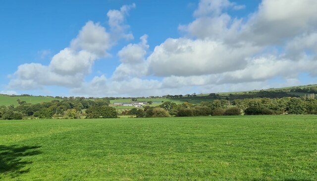
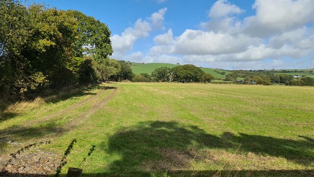
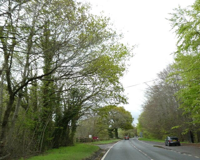
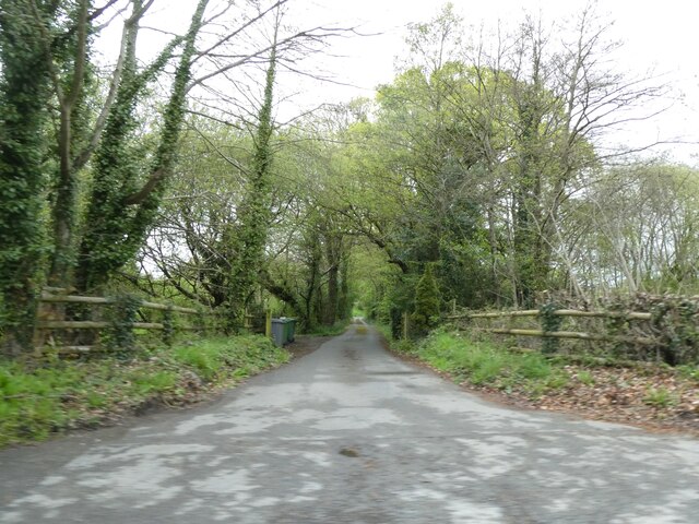
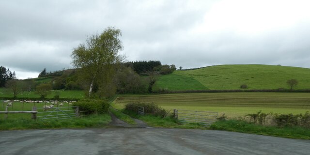
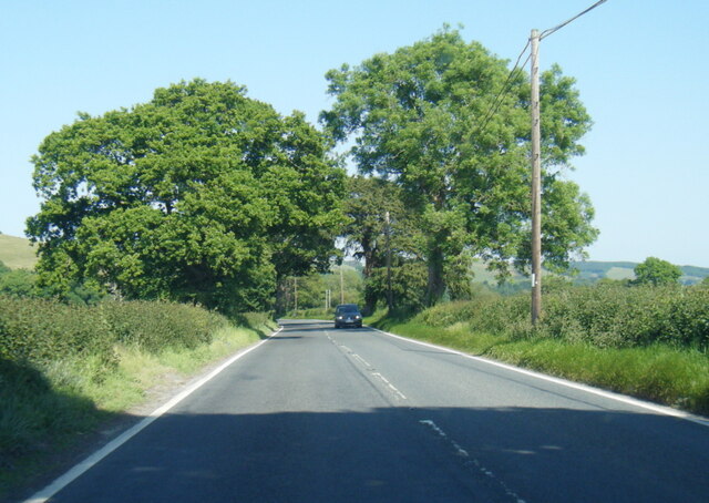
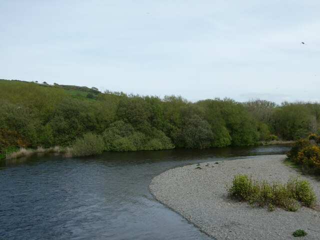
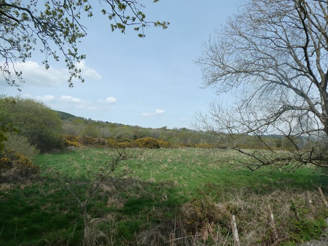
Coed Tyn-y-fron is a picturesque woodland located in Cardiganshire, Wales. Covering an area of approximately 100 acres, this enchanting forest is known for its natural beauty and diverse range of flora and fauna.
The woodland is primarily composed of native broadleaf trees, including oak, beech, and birch. These tall, majestic trees create a dense canopy that shades the forest floor, providing a cool and tranquil atmosphere. In spring, the forest comes alive with vibrant colors as the ground is carpeted with bluebells and wildflowers.
Coed Tyn-y-fron is home to a wide variety of wildlife, making it a popular destination for nature lovers and wildlife enthusiasts. Visitors may encounter red squirrels, foxes, badgers, and a plethora of bird species, including woodpeckers and tawny owls. The peaceful environment of the woodland provides an ideal habitat for these creatures.
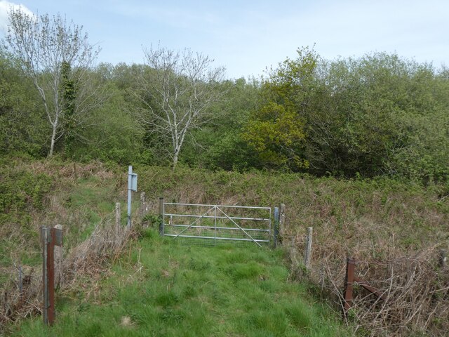
The forest is crisscrossed by a network of well-maintained trails, allowing visitors to explore the woodland on foot. These paths wind through the trees, offering glimpses of the neighboring countryside and providing opportunities for leisurely walks and picnics.
Coed Tyn-y-fron also has a rich historical heritage. The woodland has been managed sustainably for centuries, with evidence of ancient woodcutting and charcoal production found within its boundaries. This historical significance adds to the charm and character of the forest.
In conclusion, Coed Tyn-y-fron is a stunning woodland in Cardiganshire, Wales, offering visitors a peaceful retreat in the midst of nature. With its diverse range of trees, abundant wildlife, and historical significance, this forest is a must-visit for those seeking a tranquil and immersive woodland experience.
If you have any feedback on the listing, please let us know in the comments section below.
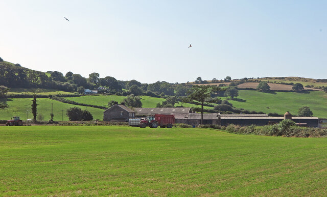
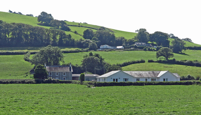
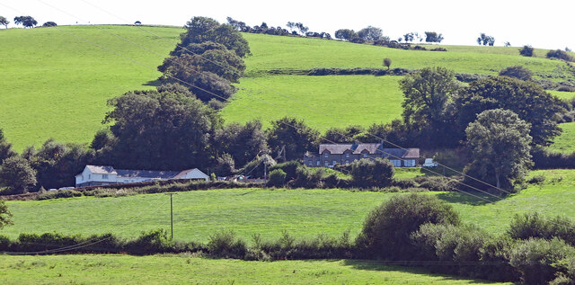
Coed Tyn-y-fron Images
Images are sourced within 2km of 52.400051/-4.0287559 or Grid Reference SN6279. Thanks to Geograph Open Source API. All images are credited.


Coed Tyn-y-fron is located at Grid Ref: SN6279 (Lat: 52.400051, Lng: -4.0287559)
Unitary Authority: Ceredigion
Police Authority: Dyfed Powys
What 3 Words
///nitrogen.cornering.kicks. Near Penparcau, Ceredigion
Nearby Locations
Related Wikis
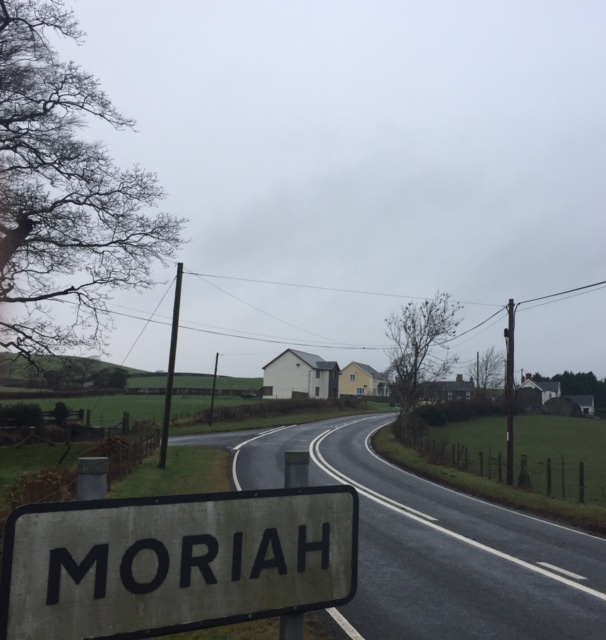
Moriah, Ceredigion
Moriah is a hamlet in the community of Llanfarian, Ceredigion, Wales, which is 73 miles (117.4 km) from Cardiff and 177.1 miles (285 km) from London. Moriah...

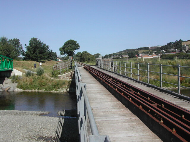
Glanyrafon railway station
Glanyrafon railway station (formerly Glanrafon) is a railway station serving Glanyrafon in Ceredigion in Mid-Wales. It is a request stop on the preserved...

Glanyrafon, Ceredigion
Glanyrafon or Glanrafon is a small village and industrial estate in the community of Llanfarian, Ceredigion, Wales. It lies on the south bank of the Afon...
Rachel's Organic
Rachel's is an organic dairy products company based in Aberystwyth, Wales. Founded by local farmers but now a subsidiary of French company Lactalis, it...

Nanteos Mansion
Nanteos (Welsh: Plas Nanteos, Nanteos Mansion) is an 18th-century former country house in Llanbadarn-y-Creuddyn, near Aberystwyth, Ceredigion, Wales. A...
Pen-dre
Pen-dre is a hamlet in the community of Llanbadarn Fawr, Ceredigion, Wales, which is 73.9 miles (118.9 km) from Cardiff and 178.1 miles (286.6 km) from...

Thomas Parry Library
The Thomas Parry Library at Aberystwyth was part of the library of the University of Wales Aberystwyth, it served the Department of Information Studies...
Pont Paith
Pont Paith is a hamlet in the community of Llanfarian, Ceredigion, Wales, 73 miles (117.5 km) from Cardiff and 177.9 miles (286.2 km) from London. Pont...
Nearby Amenities
Located within 500m of 52.400051,-4.0287559Have you been to Coed Tyn-y-fron?
Leave your review of Coed Tyn-y-fron below (or comments, questions and feedback).