Black Covert
Wood, Forest in Cardiganshire
Wales
Black Covert
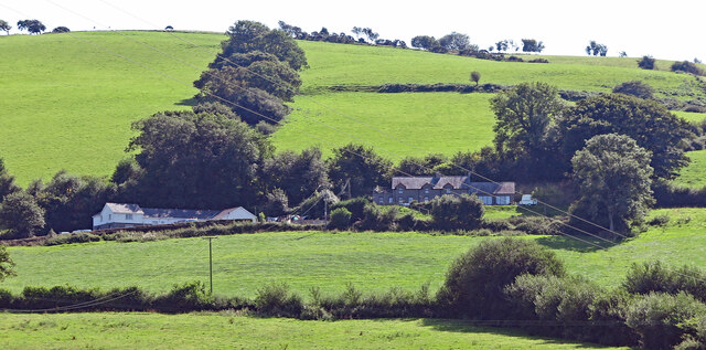
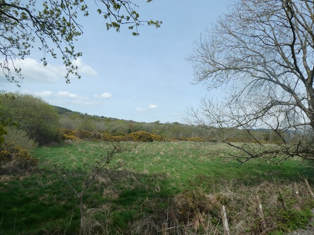
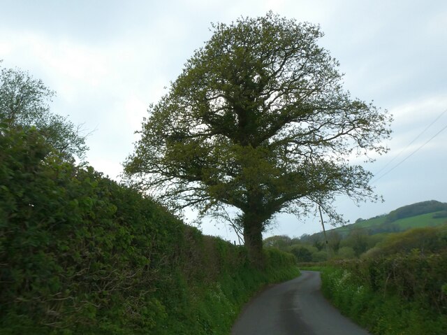
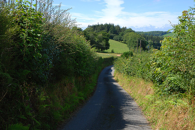
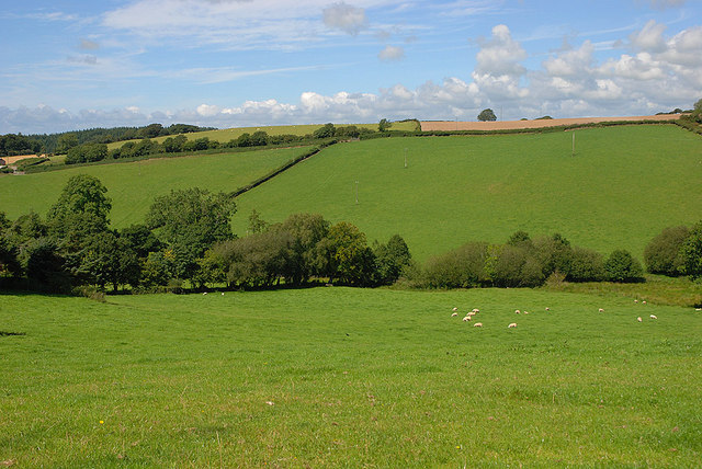
Black Covert is a dense woodland located in the county of Cardiganshire, Wales. Covering an area of approximately 200 acres, it is a captivating natural site that offers a serene and picturesque environment for visitors to explore. The woodland is predominantly composed of native tree species, including oak, ash, and beech, which create a lush and vibrant canopy overhead.
The forest floor of Black Covert is adorned with an assortment of wildflowers, ferns, and mosses, contributing to its rich biodiversity. The woodland is also home to a variety of wildlife, such as deer, foxes, badgers, and a range of bird species, including owls and woodpeckers. Nature enthusiasts and birdwatchers will find ample opportunities to observe and appreciate the local fauna in their natural habitat.
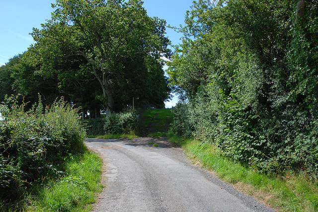
With its well-maintained network of walking trails, Black Covert provides an ideal setting for leisurely strolls or more adventurous hikes. Visitors can take in the beauty of the woodland as they meander through winding paths, crossing over babbling brooks and discovering hidden glades along the way. The forest is particularly enchanting during the autumn months, when the vibrant colors of the foliage create a breathtaking scene.
Black Covert is a popular destination for outdoor enthusiasts seeking tranquility and a connection with nature. Its proximity to nearby villages and towns makes it easily accessible for day visits, picnics, or camping trips. The woodland's natural beauty, diverse ecosystem, and peaceful ambiance make it a true gem within Cardiganshire's landscape.
If you have any feedback on the listing, please let us know in the comments section below.
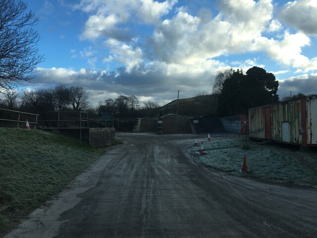
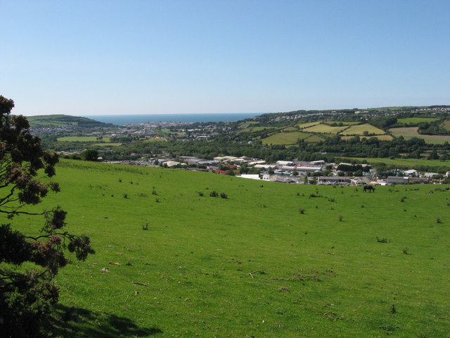
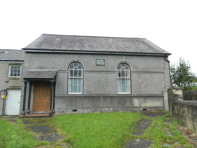
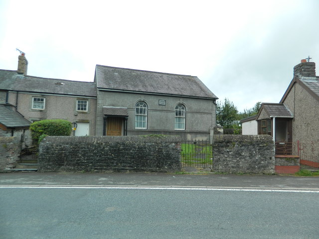
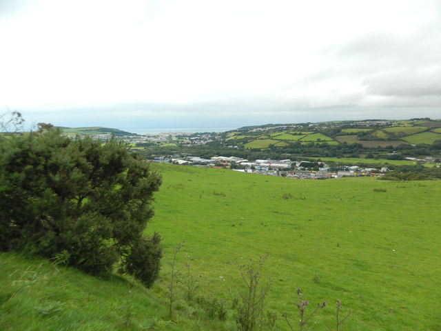
Black Covert Images
Images are sourced within 2km of 52.389593/-4.0303336 or Grid Reference SN6178. Thanks to Geograph Open Source API. All images are credited.

Black Covert is located at Grid Ref: SN6178 (Lat: 52.389593, Lng: -4.0303336)
Unitary Authority: Ceredigion
Police Authority: Dyfed Powys
What 3 Words
///imply.trunk.creatures. Near Penparcau, Ceredigion
Nearby Locations
Related Wikis

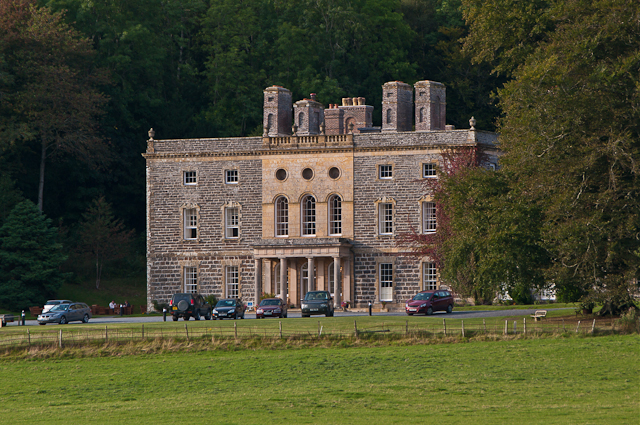
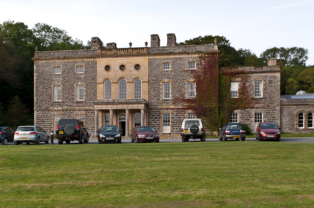
Nanteos Mansion
Nanteos (Welsh: Plas Nanteos, Nanteos Mansion) is an 18th-century former country house in Llanbadarn-y-Creuddyn, near Aberystwyth, Ceredigion, Wales. A...
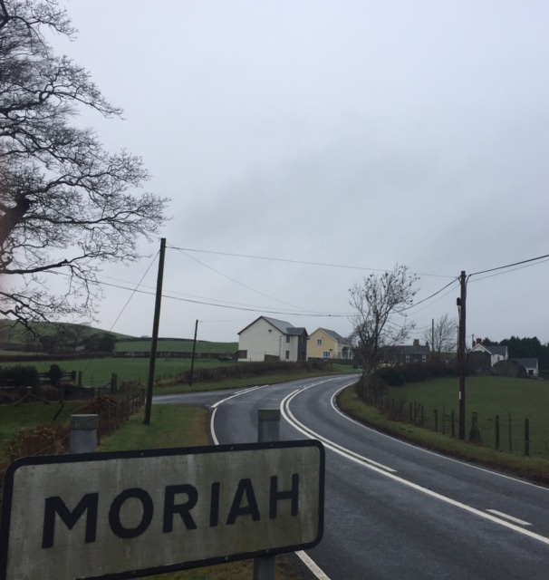
Moriah, Ceredigion
Moriah is a hamlet in the community of Llanfarian, Ceredigion, Wales, which is 73 miles (117.4 km) from Cardiff and 177.1 miles (285 km) from London. Moriah...

Pont Paith
Pont Paith is a hamlet in the community of Llanfarian, Ceredigion, Wales, 73 miles (117.5 km) from Cardiff and 177.9 miles (286.2 km) from London. Pont...
Glanyrafon, Ceredigion
Glanyrafon or Glanrafon is a small village and industrial estate in the community of Llanfarian, Ceredigion, Wales. It lies on the south bank of the Afon...
Related Videos

Aberystwyth Beach Walk, Welsh Countryside 4K
https://www.buymeacoffee.com/Daveswalks All support is hugely appreciated and it helps me keep the channel going! No talking ...

🇬🇧🏴Hiking in WALES: Scenic Ceredigion Coast Path to Clarach Bay / 2019 Sep
Map of Ceredigion Coast Path, Wales - UK https://maps.app.goo.gl/gdoheDzVqGhpH9j69.

Should You Visit Aberystwyth? Seafront Tour, Wales
Join me in Aberystwyth, A holiday resort on the west coast of Wales. It is also home to the University of Wales Aberystwyth and the ...

Filipina-UK Life| Travel Vlog| Wales Adventure
Wales is a country in southwest Great Britain known for its rugged coastline, mountainous national parks, distinctive Welsh ...
Nearby Amenities
Located within 500m of 52.389593,-4.0303336Have you been to Black Covert?
Leave your review of Black Covert below (or comments, questions and feedback).