Allt Gelligarneddau

Wood, Forest in Cardiganshire

Wales

Allt Gelligarneddau

Ordnance Survey Cut Mark This OS cut mark can be found on the SE parapet of the bridge. It marks a point 158.051m above mean sea level.
Ordnance Survey Cut Mark Credit: Adrian Dust

The requested URL returned error: 429 Too Many Requests

If you have any feedback on the listing, please let us know in the comments section below.

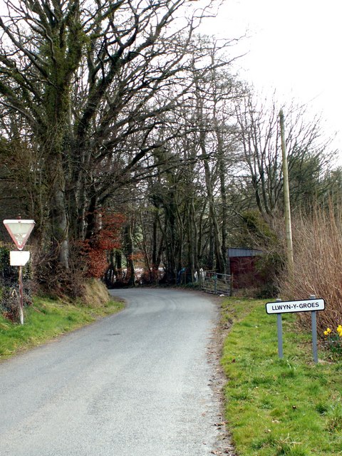
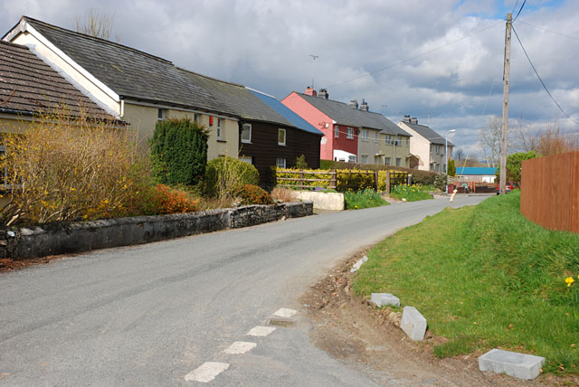
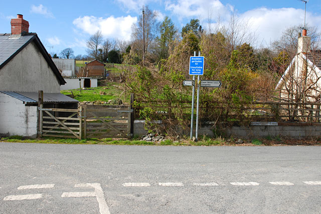
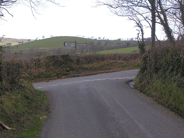
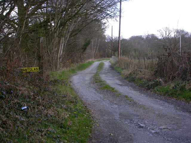
Allt Gelligarneddau Images

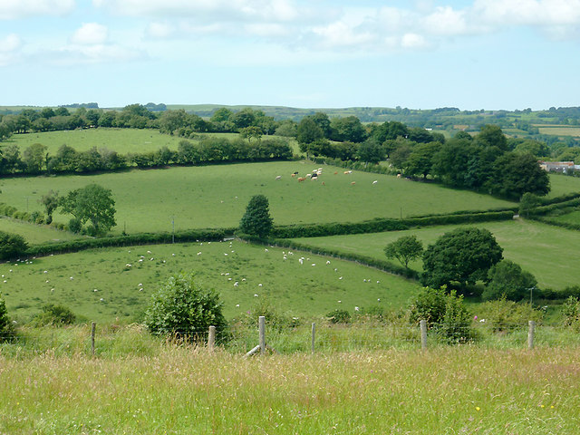
Images are sourced within 2km of 52.183713/-4.0370011 or Grid Reference SN6055. Thanks to Geograph Open Source API. All images are credited.

Ordnance Survey Cut Mark This OS cut mark can be found on the SE parapet of the bridge. It marks a point 158.051m above mean sea level.
Ordnance Survey Cut Mark
This OS cut mark can be found on the SE parapet of the bridge. It marks a point 158.051m above mean sea level.
Ordnance Survey Cut Mark This OS cut mark can be found on the house NW side of the road. It marks a point 159.758m above mean sea level.
Ordnance Survey Cut Mark
This OS cut mark can be found on the house NW side of the road. It marks a point 159.758m above mean sea level.
A485 at Olmarch hamlet
A485 at Olmarch Isaf
Ordnance Survey Cut Mark This OS cut mark can be found on the NE angle of the chapel. It marks a point 175.647m above mean sea level.
Ordnance Survey Cut Mark
This OS cut mark can be found on the NE angle of the chapel. It marks a point 175.647m above mean sea level.
Ordnance Survey Cut Mark This OS cut mark can be found on the churn stand NW side of the road. It marks a point 169.411m above mean sea level. <a title="https://www.geograph.org.uk/photo/7412363" href="https://www.geograph.org.uk/photo/7412363">Link</a>
Ordnance Survey Cut Mark
This OS cut mark can be found on the churn stand NW side of the road. It marks a point 169.411m above mean sea level. Link
Churn Stand There is an Ordnance Survey cut mark on the front of the stand. <a title="https://www.geograph.org.uk/photo/7412358" href="https://www.geograph.org.uk/photo/7412358">Link</a>
Churn Stand
There is an Ordnance Survey cut mark on the front of the stand. Link
Ordnance Survey Cut Mark This OS cut mark can be found on the gatepost north side of the road. It marks a point 164.967m above mean sea level.
Ordnance Survey Cut Mark
This OS cut mark can be found on the gatepost north side of the road. It marks a point 164.967m above mean sea level.
Approaching Llwyn-y-groes from Gartheli
Main street, Llwyn-y-groes
Road junction, Llwyn-y-groes Where the lane from Olmarch meets the road between Llangeitho and Lampeter.
Road junction, Llwyn-y-groes
Where the lane from Olmarch meets the road between Llangeitho and Lampeter.
Road junction south of Llwyn-y-groes Where the lane from Llangybi meets the minor road from Llangeitho to Lampeter.
Road junction south of Llwyn-y-groes
Where the lane from Llangybi meets the minor road from Llangeitho to Lampeter.
Lane to Nantglas farm
Road into the cwm of the Nant Meurig Beginning its descent to cross the stream.
Road into the cwm of the Nant Meurig
Beginning its descent to cross the stream.
Farmland north of  Llwyn-y-Groes, Ceredigion The farm buildings at Bron Haul are well sheltered among mature deciduous trees. The distant hill line marks the northern slopes of Dyffryn Aeron.
Farmland north of Llwyn-y-Groes, Ceredigion
The farm buildings at Bron Haul are well sheltered among mature deciduous trees. The distant hill line marks the northern slopes of Dyffryn Aeron.
Farmland north-east of  Llwyn-y-Groes, Ceredigion This telephoto assisted image looking across the fields shows the large tree in the middle of the picture as the given subject grid reference. The lane between Llwyn-y-Groes and Capel Betws Leucu crosses the image between hedges by that tree.
Farmland north-east of Llwyn-y-Groes, Ceredigion
This telephoto assisted image looking across the fields shows the large tree in the middle of the picture as the given subject grid reference. The lane between Llwyn-y-Groes and Capel Betws Leucu crosses the image between hedges by that tree.
Pant-y-rhew  farm at Llwyn-y-Groes, Ceredigion Seen from the lane near Jane Beck's Welsh Blankets Emporium; she gave me some very suspicious looks as I took the photographs!
Pant-y-rhew farm at Llwyn-y-Groes, Ceredigion
Seen from the lane near Jane Beck's Welsh Blankets Emporium; she gave me some very suspicious looks as I took the photographs!
Farmland south of  Llwyn-y-Groes, Ceredigion The fields are all around Pant-y-rhew farm, which is off to the left. This is a view seen from the lane while being "observed" by Jane Beck in her Welsh Blanket Emporium garden.
Farmland south of Llwyn-y-Groes, Ceredigion
The fields are all around Pant-y-rhew farm, which is off to the left. This is a view seen from the lane while being "observed" by Jane Beck in her Welsh Blanket Emporium garden.
Show me another place!

Allt Gelligarneddau is located at Grid Ref: SN6055 (Lat: 52.183713, Lng: -4.0370011)

Unitary Authority: Ceredigion

Police Authority: Dyfed Powys

What 3 Words

///butter.fees.hotspots. Near Llangybi, Ceredigion

Nearby Locations

Allt Gelligarneddau

Related Wikis

Olmarch

Olmarch is a hamlet in the community of Llangybi, Ceredigion, Wales, which is 59.9 miles (96.4 km) from Cardiff and 172.1 miles (277 km) from London. Olmarch...

Olmarch Halt railway station

Olmarch Halt railway station, previously served the hamlet and rural locale of Olmarch near Llanddewi-Brefi and Pont Llanio on the Carmarthen Aberystwyth...

Capel Betws Lleucu

Capel Betws Lleucu is a hamlet in Cardiganshire, Wales.SY postcode area SY 25 6 SN606583 == References == == External links == http://www.accuweather.com/en/gb/capel...

Caeau Llety-cybi

Caeau Llety-cybi is a Site of Special Scientific Interest in Ceredigion, west Wales. The lowland meadow site is managed by the Wildlife Trust of South...

Have you been to Allt Gelligarneddau?

Leave your review of Allt Gelligarneddau below (or comments, questions and feedback).