Allt y Mynach
Wood, Forest in Cardiganshire
Wales
Allt y Mynach
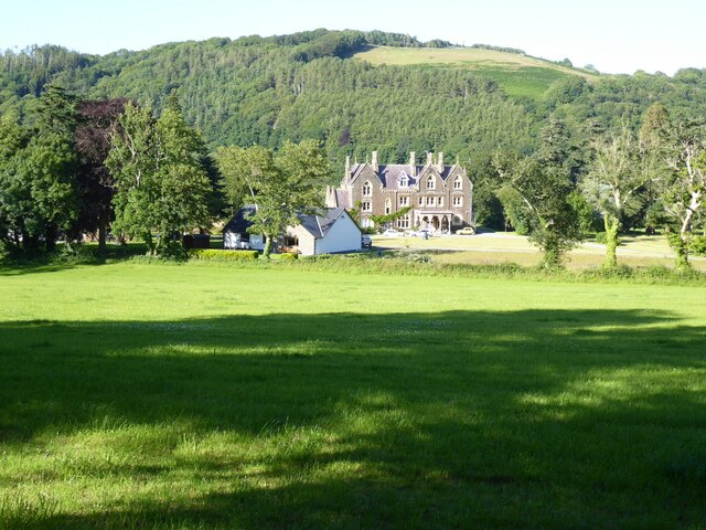
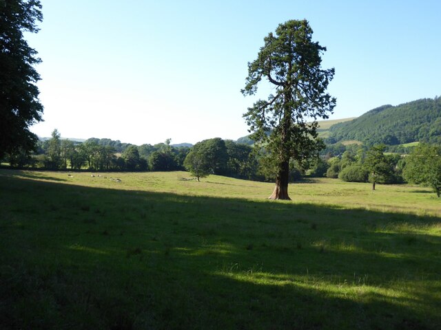
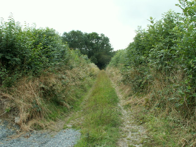
Allt y Mynach is a picturesque wood located in the county of Cardiganshire, Wales. Covering an area of approximately 50 hectares, it is nestled in the heart of the county and is a popular destination for nature enthusiasts and hikers alike.
The wood is characterized by its diverse range of tree species, including oak, beech, ash, and birch, which create a dense and vibrant canopy. This rich variety of flora provides a habitat for a wide array of wildlife, such as red kites, buzzards, and various species of deer.
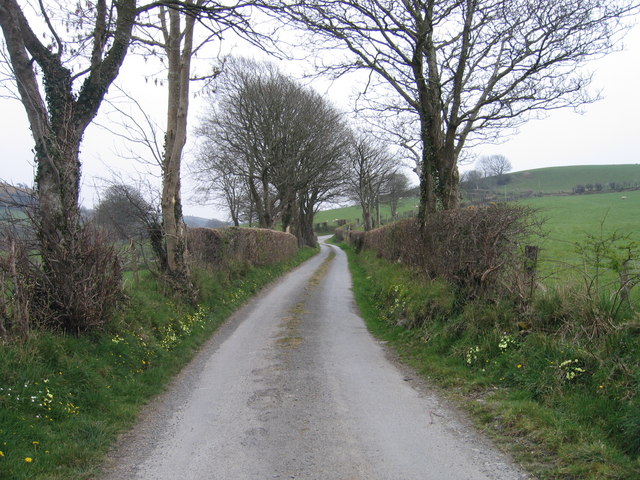
Tranquility and serenity are the defining characteristics of Allt y Mynach, making it a perfect escape from the hustle and bustle of everyday life. The wood boasts several well-maintained walking trails, allowing visitors to explore its beauty at their own pace. These trails wind through ancient woodlands, alongside babbling streams, and offer breathtaking views of the surrounding countryside.
In addition to its natural beauty, Allt y Mynach also holds historical significance. The wood is home to a small Iron Age hillfort, known as the Gaer Fawr, which offers a glimpse into the area's ancient past. Archaeological remains, including ancient pottery fragments and earthworks, can still be seen within the fort.
Allt y Mynach is a true gem of Cardiganshire, providing a sanctuary for both nature and history enthusiasts. Whether you're seeking a peaceful walk in nature or a glimpse into the past, this wood offers a truly unforgettable experience.
If you have any feedback on the listing, please let us know in the comments section below.
Allt y Mynach Images
Images are sourced within 2km of 52.35439/-4.0450045 or Grid Reference SN6074. Thanks to Geograph Open Source API. All images are credited.


![OSBM Flush Bracket G3305 - Coed Bont-sych, Bridge Ordnance Survey Benchmark (OSBM) used for levelling height above Ordnance Datum (OD).
Height (1955): 33.3327m OD (Newlyn). Mark verified by the Ordnance Survey in 1977. Description: FL BR G3305 PARA BR NE SIDE RD NE FACE 1.2M SE C STR. 0.4m above ground. 1st Order BM.
The bracket was used on the Aberystwyth to Lampeter line (G092) of the Third Geodetic Levelling of England &amp; Wales in 1955. Description: NE parapet of bridge, 4&#039; SE from centre of stream. Abstract G 65: <span class="nowrap"><a title="http://discovery.nationalarchives.gov.uk/SearchUI/details?Uri=C11264473" rel="nofollow ugc noopener" href="http://discovery.nationalarchives.gov.uk/SearchUI/details?Uri=C11264473">Link</a><img style="margin-left:2px;" alt="External link" title="External link - shift click to open in new window" src="https://s1.geograph.org.uk/img/external.png" width="10" height="10"/></span> [OS 54/754]
Context: <a href="https://www.geograph.org.uk/photo/4591014">SN5976 : OSBM Flush Bracket G3305 - Coed Bont-sych, Bridge</a>](https://s3.geograph.org.uk/geophotos/04/59/10/4591007_6b3e6cf3.jpg)
![OSBM Flush Bracket G3305 - Coed Bont-sych, Bridge Ordnance Survey Benchmark (OSBM) used for levelling height above Ordnance Datum (OD).
Height (1955): 33.3327m OD (Newlyn). Mark verified by the Ordnance Survey in 1977. Description: FL BR G3305 PARA BR NE SIDE RD NE FACE 1.2M SE C STR. 0.4m above ground. 1st Order BM.
The bracket was used on the Aberystwyth to Lampeter line (G092) of the Third Geodetic Levelling of England &amp; Wales in 1955. Description: NE parapet of bridge, 4&#039; SE from centre of stream. Abstract G 65: <span class="nowrap"><a title="http://discovery.nationalarchives.gov.uk/SearchUI/details?Uri=C11264473" rel="nofollow ugc noopener" href="http://discovery.nationalarchives.gov.uk/SearchUI/details?Uri=C11264473">Link</a><img style="margin-left:2px;" alt="External link" title="External link - shift click to open in new window" src="https://s1.geograph.org.uk/img/external.png" width="10" height="10"/></span> [OS 54/754]
Close-up: <a href="https://www.geograph.org.uk/photo/4591007">SN5976 : OSBM Flush Bracket G3305 - Coed Bont-sych, Bridge</a>](https://s2.geograph.org.uk/geophotos/04/59/10/4591014_91acb482.jpg)

Allt y Mynach is located at Grid Ref: SN6074 (Lat: 52.35439, Lng: -4.0450045)
Unitary Authority: Ceredigion
Police Authority: Dyfed Powys
What 3 Words
///arose.quench.cries. Near Llanilar, Ceredigion
Nearby Locations
Related Wikis

Ystwyth Trail
The Ystwyth Trail is a 21-mile (34 km) multi-use rail trail linking Aberystwyth, Llanfarian, Ystrad Meurig and Tregaron in Ceredigion, Wales. Cycling and...

Castle Hill, Ceredigion
Castle Hill is an area and country estate in the community of Llanilar, Ceredigion, Wales, which is 70.2 miles (112.9 km) from Cardiff and 175.8 miles...

Llanilar railway station
Llanilar railway station was on the Carmarthen to Aberystwyth Line (originally called the Manchester and Milford Railway before being transferred to the...
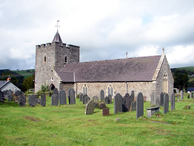
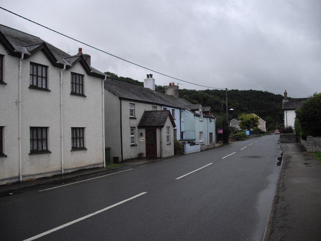
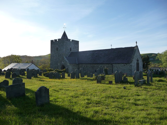
Llanilar
Llanilar (Welsh pronunciation: [ɬanˈɪlar]) is a village and community in Ceredigion, Wales, about 4 kilometres (2.5 mi) southeast of Aberystwyth. It is...

Blaenplwyf
Blaenplwyf (Pontllanio previously) is a village in Ceredigion, to the southwest of Aberystwyth. It is noted for the Blaenplwyf transmitting station, which...
Coed y Crychydd
Coed y Crychydd is a Site of Special Scientific Interest in Ceredigion, west Wales. It is a moderately steep, north facing wood, featuring mainly ancient...
Chancery, Ceredigion
Chancery (Welsh: Rhydgaled) is a hamlet in Llanfarian community, in the district county of Ceredigion, Mid-Wales, south of the administrative centre Aberystwyth...

Y Gors, Ceredigion
Y Gors is a hamlet in the community of Trawsgoed, Ceredigion, Wales, which is 71.5 miles (115.1 km) from Cardiff and 176.1 miles (283.4 km) from London...
Nearby Amenities
Located within 500m of 52.35439,-4.0450045Have you been to Allt y Mynach?
Leave your review of Allt y Mynach below (or comments, questions and feedback).