Coed Cochwillan

Wood, Forest in Caernarfonshire

Wales

Coed Cochwillan

Pont dros Lon Las Ogwen / Bridge over Lon Las Ogwen
Pont dros Lon Las Ogwen / Bridge over Lon Las Ogwen Credit: Ceri Thomas

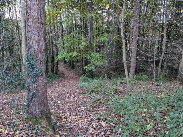
Coed Cochwillan, located in Caernarfonshire, is a stunning woodland area known for its natural beauty and rich biodiversity. Covering an extensive area, the forest is a popular destination for nature enthusiasts, hikers, and those seeking tranquility amidst nature.

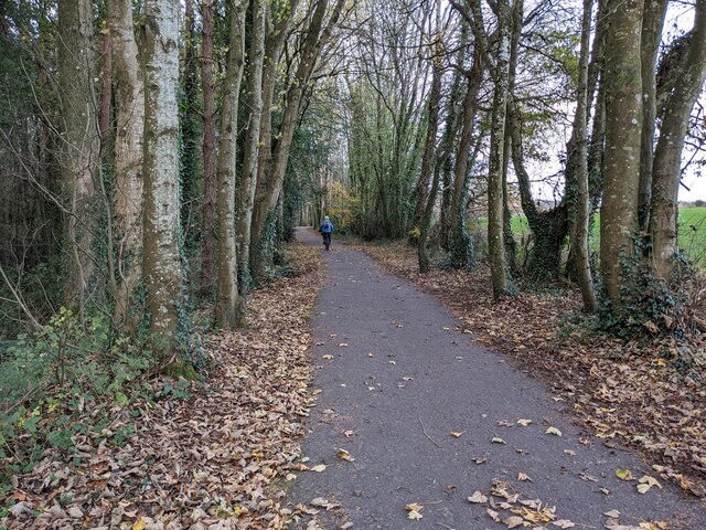
The woodland is characterized by a diverse range of tree species, including oak, beech, birch, and pine, creating a vibrant tapestry of colors throughout the year. The forest floor is carpeted with a variety of wildflowers, adding to its scenic appeal.

Coed Cochwillan is home to a wide array of wildlife, making it an important habitat for both native and migratory species. Visitors may spot various bird species, such as woodpeckers, owls, and warblers, as well as small mammals like squirrels and hedgehogs. The forest also supports an abundance of insect life, including butterflies and bees.

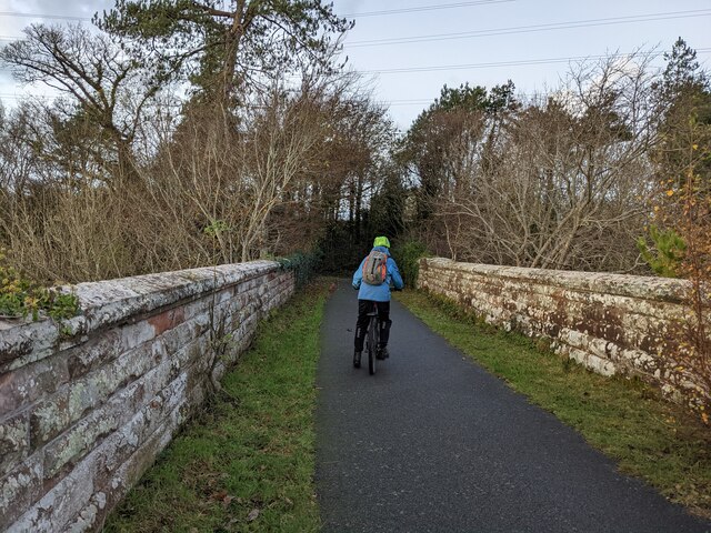
The woodland offers several well-maintained trails, allowing visitors to explore its beauty at their own pace. These trails range from easy strolls to more challenging hikes, catering to different fitness levels and interests. Along the way, informative signposts provide interesting facts about the forest's flora and fauna, enhancing the educational experience.

Coed Cochwillan is managed by local authorities who prioritize its conservation and environmental sustainability. The forest is regularly monitored and maintained, ensuring its long-term preservation and enjoyment for future generations.

Whether you are seeking a peaceful retreat, an opportunity to connect with nature, or an adventurous hike, Coed Cochwillan offers a captivating experience for all nature lovers.

If you have any feedback on the listing, please let us know in the comments section below.

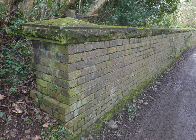
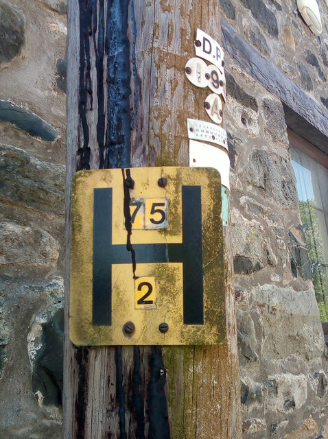
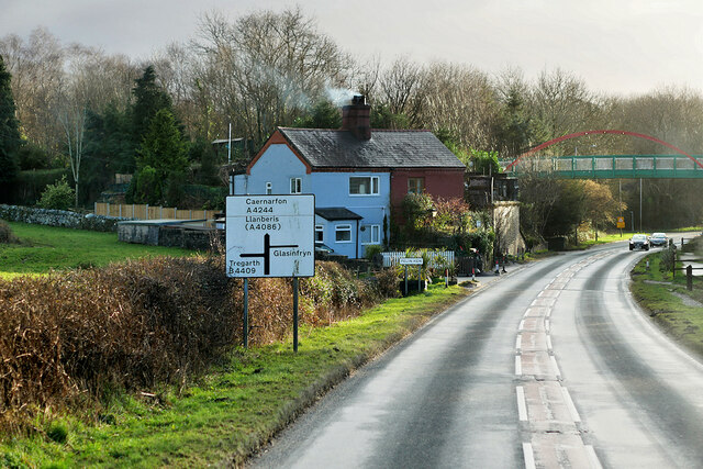
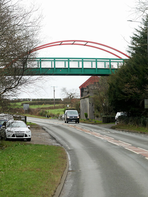
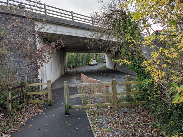
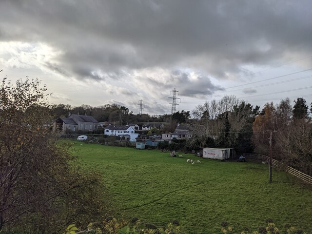
Coed Cochwillan Images

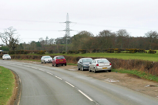
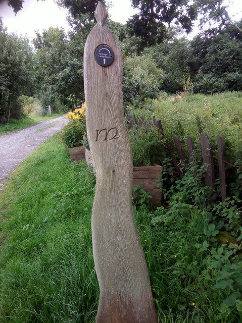
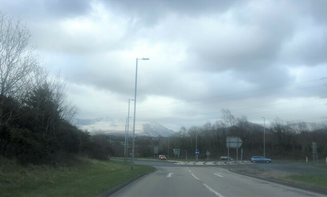
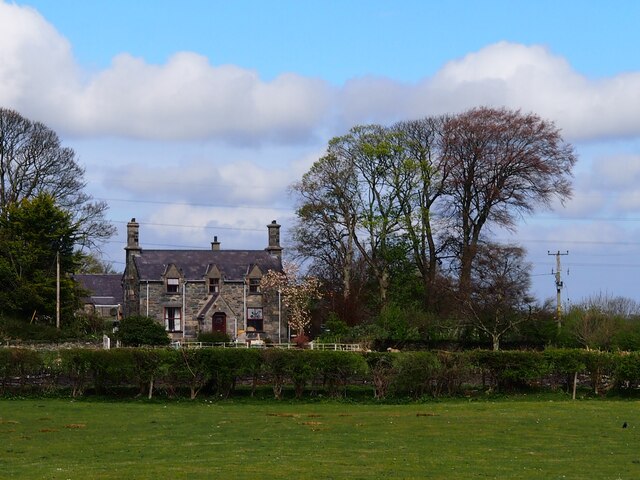
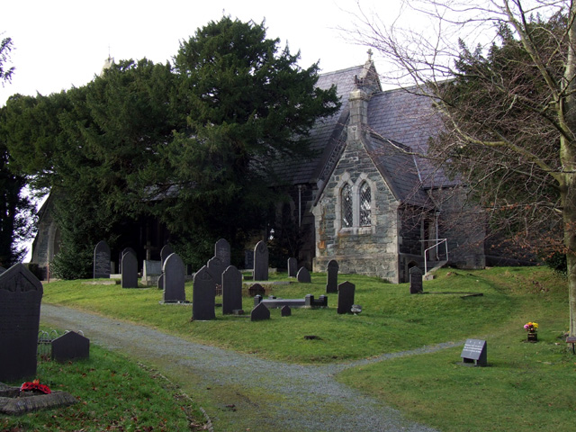
Images are sourced within 2km of 53.202242/-4.0897085 or Grid Reference SH6069. Thanks to Geograph Open Source API. All images are credited.

Pont dros Lon Las Ogwen / Bridge over Lon Las Ogwen
Hydrant sign on telephone pole, Tregarth
A4244, Felin Hen Road The A4244 is a relatively short (6½ miles) rural A-road in north Caernarfonshire. It connects the A5/A55 (near the Llys-y-gwynt junction) with the A4086 at Brynrefail, just outside Llanberis.
A4244, Felin Hen Road
The A4244 is a relatively short (6½ miles) rural A-road in north Caernarfonshire. It connects the A5/A55 (near the Llys-y-gwynt junction) with the A4086 at Brynrefail, just outside Llanberis.
Footbridge over Felin Hen Road The A4244 is a relatively short (6½ miles) rural A-road in north Caernarfonshire. It connects the A5/A55 (near the Llys-y-gwynt junction) with the A4086 at Brynrefail, just outside Llanberis.
Footbridge over Felin Hen Road
The A4244 is a relatively short (6½ miles) rural A-road in north Caernarfonshire. It connects the A5/A55 (near the Llys-y-gwynt junction) with the A4086 at Brynrefail, just outside Llanberis.
Layby on the A4244 near to  Glasinfryn The A4244 is a relatively short (6½ miles) rural A-road in north Caernarfonshire. It connects the A5/A55 (near the Llys-y-gwynt junction) with the A4086 at Brynrefail, just outside Llanberis.
Layby on the A4244 near to Glasinfryn
The A4244 is a relatively short (6½ miles) rural A-road in north Caernarfonshire. It connects the A5/A55 (near the Llys-y-gwynt junction) with the A4086 at Brynrefail, just outside Llanberis.
Moelyci heritage trail waymark No. 1, Tregarth
Roundabout near the Bangor A55 Services  Snow-capped Snowdonia mountains beyond
Roundabout near the Bangor A55 Services
Snow-capped Snowdonia mountains beyond
Fferm Lon Isaf
Fferm Lon Isaf
Lôn Las Ogwen passes under the A55
Field and houses near Lôn Las Ogwen
Solid walls on the bridge over the Afon Cegin
A good biking surface on Lôn Las Ogwen
The last of the leaves in the woodland Next to Lôn Las Ogwen.
The last of the leaves in the woodland
Next to Lôn Las Ogwen.
Sandstone walls on Lôn Las Ogwen
Tregarth community allotments Allotment gardens at Moelyci, where rabbits and stony soil are obvious problems.
Tregarth community allotments
Allotment gardens at Moelyci, where rabbits and stony soil are obvious problems.
Eglwys St. Llechid, Llanllechid
Benchmark on Eglwys St. Llechid, Llanllechid This benchmark is located at the N angle of Eglwys St. Llechid in Llanllechid & it is shown in the current Ordnance Survey database at a height of 173.4312m above the Newlyn datum.
Benchmark on Eglwys St. Llechid, Llanllechid
This benchmark is located at the N angle of Eglwys St. Llechid in Llanllechid & it is shown in the current Ordnance Survey database at a height of 173.4312m above the Newlyn datum.
Sundial in the grounds of Eglwys St. Llechid, Llanllechid An interesting slate sundial in the grounds of Eglwys St. Llechid.
Sundial in the grounds of Eglwys St. Llechid, Llanllechid
An interesting slate sundial in the grounds of Eglwys St. Llechid.
Show me another place!

Coed Cochwillan is located at Grid Ref: SH6069 (Lat: 53.202242, Lng: -4.0897085)

Unitary Authority: Gwynedd

Police Authority: North Wales

What 3 Words

///grudge.booms.chief. Near Tregarth, Gwynedd

Nearby Locations

Cochwillan Coed Cochwillan

Related Wikis

Cochwillan

Cochwillan is a medieval hall house situated in the lower Ogwen Valley, south of the village of Talybont in the parish of Llanllechid, between Bethesda...

Tregarth railway station

Tregarth railway station is a disused railway station in Gwynedd, Wales. It was located on the Bethesda Branch line, just north of the village of Tregarth...

Tregarth

Tregarth is a village near Thomas Telford's A5 London to Holyhead road between the town of Bethesda and the city of Bangor in Gwynedd, north Wales. It...

Llanllechid

Llanllechid (Welsh: [ɬanˈɬɛχɪd]) is a village near Bethesda and a community in Gwynedd, Wales with a population of 889 as of the 2011 UK census and an...

Nearby Amenities

Located within 500m of 53.202242,-4.0897085
Barrier: kissing_gate
Foot: yes
Lat/Long: 53.2058523/-4.0920554
Barrier: kissing_gate
Foot: yes
Lat/Long: 53.2044918/-4.0905564
Power: tower
Source: Bing
Lat/Long: 53.2020686/-4.089355
Power: tower
Source: Bing
Lat/Long: 53.2022185/-4.0951595
Power: tower
Source: Bing
Lat/Long: 53.20434/-4.0833555
Power: tower
Source: Bing
Lat/Long: 53.2019722/-4.0846879
Power: tower
Source: Bing
Lat/Long: 53.2049819/-4.0910717
Power: tower
Source: Bing
Lat/Long: 53.2047442/-4.0881696
Power: tower
Lat/Long: 53.2055776/-4.0943961
Power: tower
Lat/Long: 53.20558/-4.0861959
Power: tower
Lat/Long: 53.2053758/-4.0893992
Power: tower
Lat/Long: 53.2052582/-4.0916363
Power: pole
Lat/Long: 53.2002082/-4.0951254
Power: pole
Lat/Long: 53.2008541/-4.0955277
Power: pole
Lat/Long: 53.1983444/-4.0933981
Power: pole
Lat/Long: 53.1992554/-4.092757
Power: pole
Lat/Long: 53.1996989/-4.0932183
Power: pole
Lat/Long: 53.198264/-4.0888919
Power: pole
Lat/Long: 53.1990867/-4.0946319
Power: pole
Lat/Long: 53.1981885/-4.0908044
Power: pole
Lat/Long: 53.1980343/-4.0894472
Power: pole
Lat/Long: 53.1989565/-4.0922018
Power: pole
Lat/Long: 53.1985356/-4.0882107
Power: pole
Lat/Long: 53.2000089/-4.0935322
Turning Circle
Lat/Long: 53.1988477/-4.0911561
Halfway Bridge
Place: locality
Lat/Long: 53.1993794/-4.0846872
Waterway: weir
Lat/Long: 53.2016076/-4.0929759
Barrier: kissing_gate
Lat/Long: 53.199746/-4.08534
Barrier: stile
Material: wood
Stile: ladder
Lat/Long: 53.2060518/-4.093161
Direction: 175
Generator Method: photovoltaic
Generator Output Electricity: yes
Generator Solar Modules: 8
Generator Source: solar
Generator Type: solar_photovoltaic_panel
Location: roof
Power: generator
Lat/Long: 53.1995861/-4.0853986
The data included in this document is from www.openstreetmap.org. The data is made available under ODbL.

Have you been to Coed Cochwillan?

Leave your review of Coed Cochwillan below (or comments, questions and feedback).