Coed Cefn-cymmerau

Wood, Forest in Merionethshire

Wales

Coed Cefn-cymmerau

Ordnance Survey Cut Mark This OS cut mark can be found on the SW angle of the Salem Chapel. It marks a point 56.172m above mean sea level.
Ordnance Survey Cut Mark Credit: Adrian Dust

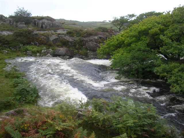
Coed Cefn-cymmerau, located in Merionethshire, is a stunning woodland area that covers a vast expanse of land. The name "Coed Cefn-cymmerau" translates to "Wood of the Cefn-cymmerau," indicating its historical significance and connection to the local community.

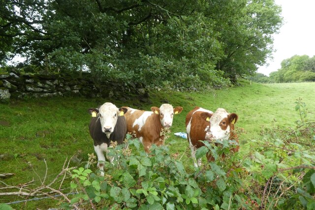
The woodland is home to a diverse range of tree species, including oak, birch, beech, and conifers. These trees not only provide an enchanting natural environment, but also serve as habitats for various wildlife species. Visitors to Coed Cefn-cymmerau are often delighted by the sight of birds, such as owls, woodpeckers, and finches, as well as small mammals like rabbits and squirrels.

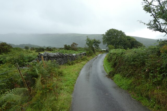
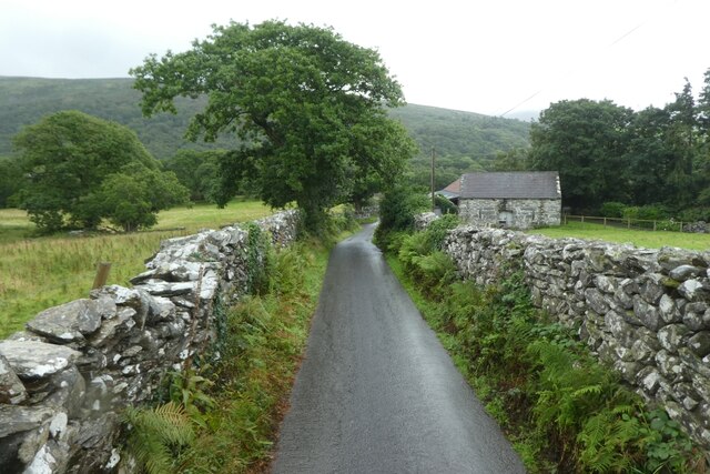
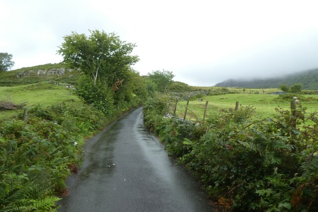
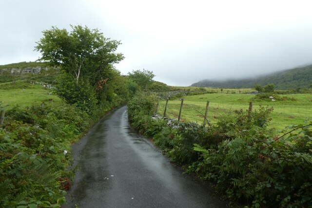
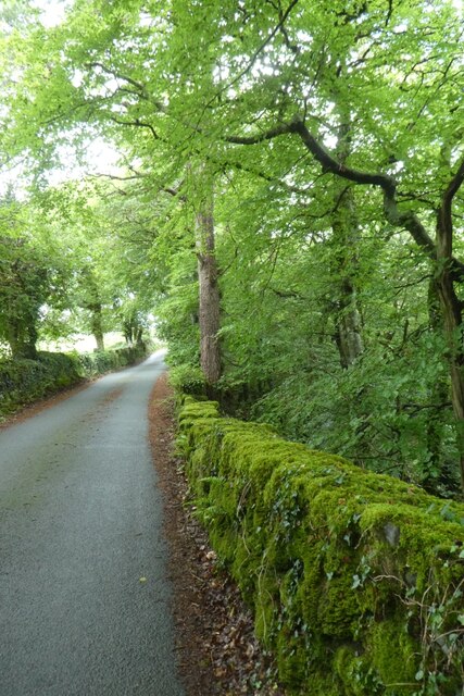
The woodland is crisscrossed with well-maintained walking paths, allowing visitors to explore its beauty at their own pace. These paths wind through the trees, offering breathtaking views of the surrounding landscape. In the spring, the forest floor comes alive with a vibrant carpet of bluebells, creating a magical atmosphere.

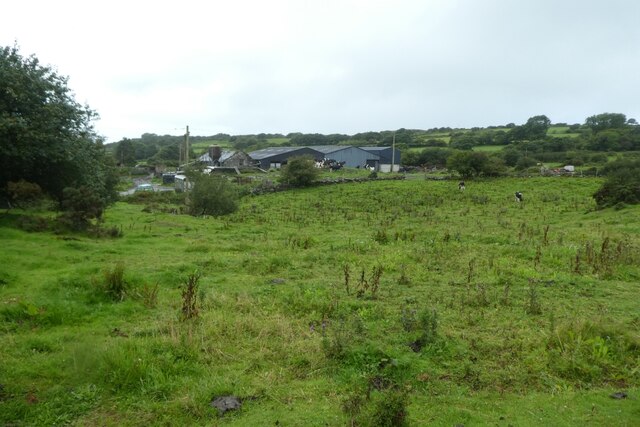
Coed Cefn-cymmerau also has a rich cultural and historical heritage. The woodland was once an important resource for the local community, providing timber for construction and fuel. Today, remnants of old sawmill sites and charcoal platforms can still be found within the woodland, serving as a reminder of its past.

Whether you are a nature enthusiast, a history buff, or simply seeking a peaceful retreat, Coed Cefn-cymmerau offers something for everyone. Its natural beauty, abundant wildlife, and historical significance make it a must-visit destination in Merionethshire.

If you have any feedback on the listing, please let us know in the comments section below.

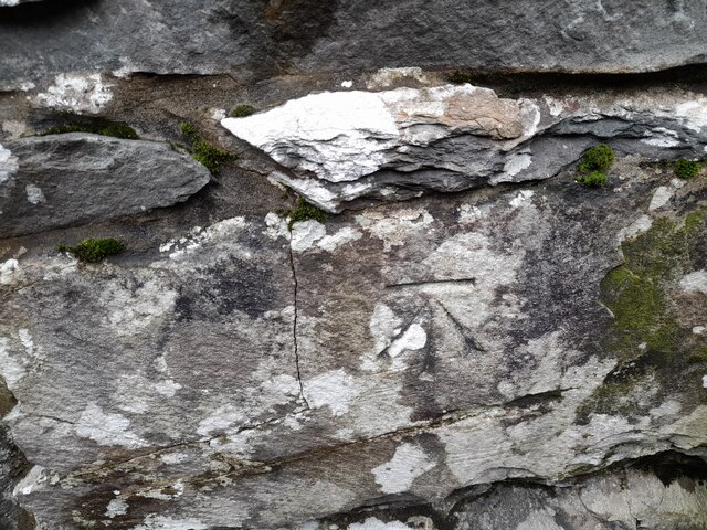
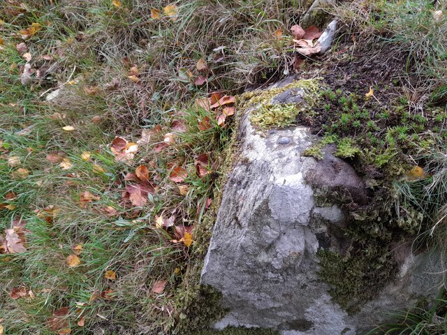
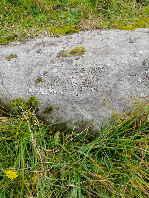
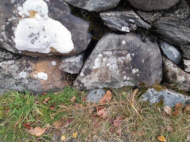
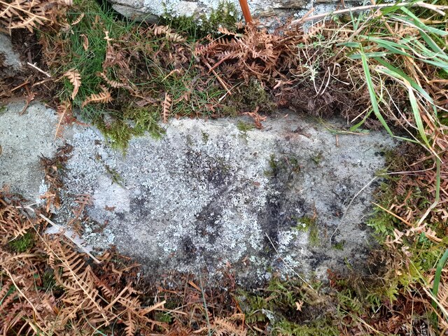
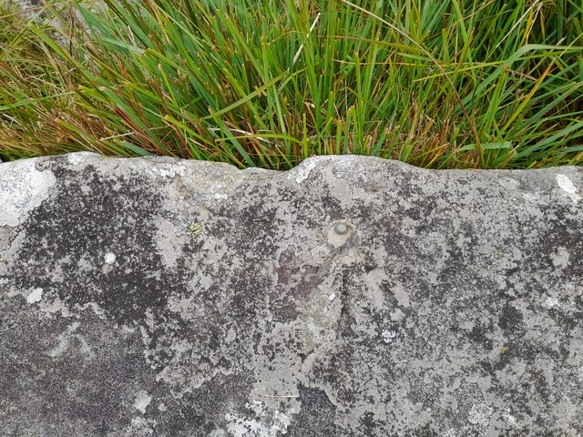
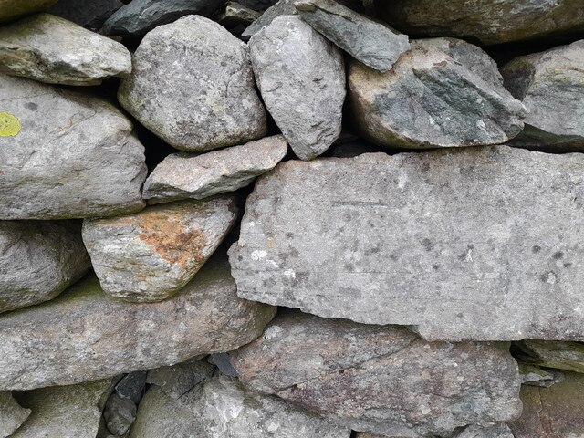
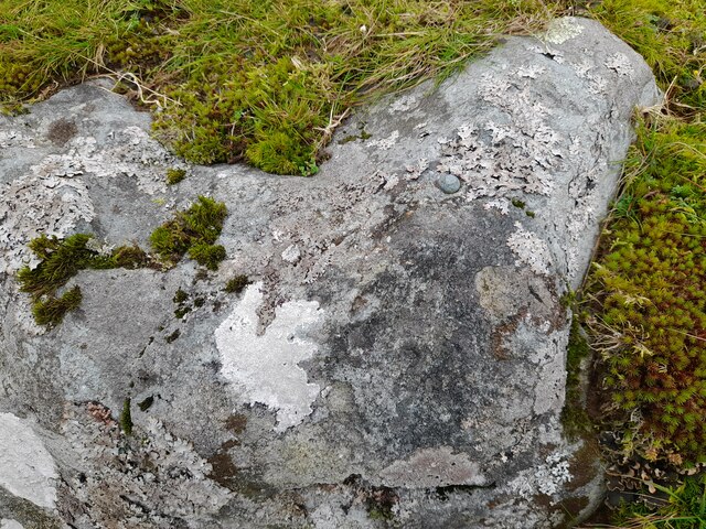
Coed Cefn-cymmerau Images

Images are sourced within 2km of 52.822014/-4.072169 or Grid Reference SH6026. Thanks to Geograph Open Source API. All images are credited.

Ordnance Survey Cut Mark This OS cut mark can be found on the SW angle of the Salem Chapel. It marks a point 56.172m above mean sea level.
Ordnance Survey Cut Mark
This OS cut mark can be found on the SW angle of the Salem Chapel. It marks a point 56.172m above mean sea level.
Ordnance Survey Rivet This OS rivet can be found on a stone north side of the road. It marks a point 87.578m above mean sea level.
Ordnance Survey Rivet
This OS rivet can be found on a stone north side of the road. It marks a point 87.578m above mean sea level.
Ordnance Survey Rivet This OS rivet can be found on a stone SE side of the road. It marks a point 97.752m above mean sea level.
Ordnance Survey Rivet
This OS rivet can be found on a stone SE side of the road. It marks a point 97.752m above mean sea level.
Ordnance Survey Cut Mark This OS cut mark can be found on the east parapet of Pont Cwmnantcol. It marks a point 135.145m above mean sea level.
Ordnance Survey Cut Mark
This OS cut mark can be found on the east parapet of Pont Cwmnantcol. It marks a point 135.145m above mean sea level.
Ordnance Survey Cut Mark This OS cut mark can be found on the stone at the wall junction. It marks a point 145.207m above mean sea level.
Ordnance Survey Cut Mark
This OS cut mark can be found on the stone at the wall junction. It marks a point 145.207m above mean sea level.
Ordnance Survey Rivet This damaged OS rivet can be found on the wall NW side of the road. It marks a point 218.734m above mean sea level.
Ordnance Survey Rivet
This damaged OS rivet can be found on the wall NW side of the road. It marks a point 218.734m above mean sea level.
Ordnance Survey Rivet This OS rivet can be found on the culvert SE side of the road. It marks a point 208.645 above mean sea level.
Ordnance Survey Rivet
This OS rivet can be found on the culvert SE side of the road. It marks a point 208.645 above mean sea level.
Ordnance Survey Cut Mark This OS cut mark can be found on the wall north side of the road. It marks a point 194.837m above mean sea level.
Ordnance Survey Cut Mark
This OS cut mark can be found on the wall north side of the road. It marks a point 194.837m above mean sea level.
Ordnance Survey Rivet This OS rivet can be found on the stone SE side of the road. It marks a point 170.308m above mean sea level.
Ordnance Survey Rivet
This OS rivet can be found on the stone SE side of the road. It marks a point 170.308m above mean sea level.
Road in the rain The road between the crossroads at Rhiwgoch and the Afon Artro.
Road in the rain
The road between the crossroads at Rhiwgoch and the Afon Artro.
Towards Llwyn lthel Viewed from the road between the crossroads at Rhiwgoch and the Afon Artro.
Towards Llwyn lthel
Viewed from the road between the crossroads at Rhiwgoch and the Afon Artro.
Lane near Werngron The road between the crossroads at Rhiwgoch and the Afon Artro.
Lane near Werngron
The road between the crossroads at Rhiwgoch and the Afon Artro.
Road to Cwm Bychan The road to Cwm Bychan from Llanbedr seen in the rain.
Road to Cwm Bychan
The road to Cwm Bychan from Llanbedr seen in the rain.
Cattle in a field Cattle along the road to Cwm Bychan.
Cattle in a field
Cattle along the road to Cwm Bychan.
Road to Cwm Bychan in the rain The road to Cwm Bychan from Llanbedr seen in the rain.
Road to Cwm Bychan in the rain
The road to Cwm Bychan from Llanbedr seen in the rain.
Lane lined with blackberries The road leads from Cwm Bychan following the course of the Afon Artro to Llanbedr.
Lane lined with blackberries
The road leads from Cwm Bychan following the course of the Afon Artro to Llanbedr.
Letterbox at Pen-y-bont On the corner is a little cupboard with jam for sale. A similar view to <a href="https://www.geograph.org.uk/photo/4589105">SH6028 : Letterbox in Pen-y-Bont</a> and a view from the other direction can be seen in <a href="https://www.geograph.org.uk/photo/6076051">SH6028 : Produce for sale</a>.
Letterbox at Pen-y-bont
On the corner is a little cupboard with jam for sale. A similar view to SH6028 : Letterbox in Pen-y-Bont and a view from the other direction can be seen in SH6028 : Produce for sale.
Moss covered wall The road leads from Cwm Bychan following the course of the Afon Artro to Llanbedr.
Moss covered wall
The road leads from Cwm Bychan following the course of the Afon Artro to Llanbedr.
Show me another place!

Coed Cefn-cymmerau is located at Grid Ref: SH6026 (Lat: 52.822014, Lng: -4.072169)

Unitary Authority: Gwynedd

Police Authority: North Wales

What 3 Words

///talked.keep.emeralds. Near Llanbedr, Gwynedd

Related Wikis

Afon Cwmnantcol

The River Cwmnantcol (Afon Cwmnantcol in Welsh) is a river in North Wales. It is about 3 miles (5 kilometres) long and has its source at the head of Cwm...

Capel Salem, Llanbedr

Capel Salem is a Grade II listed building in the hamlet of Pentre Gwynfryn, near Llanbedr, Gwynedd, Wales. This Baptist chapel building is located about...
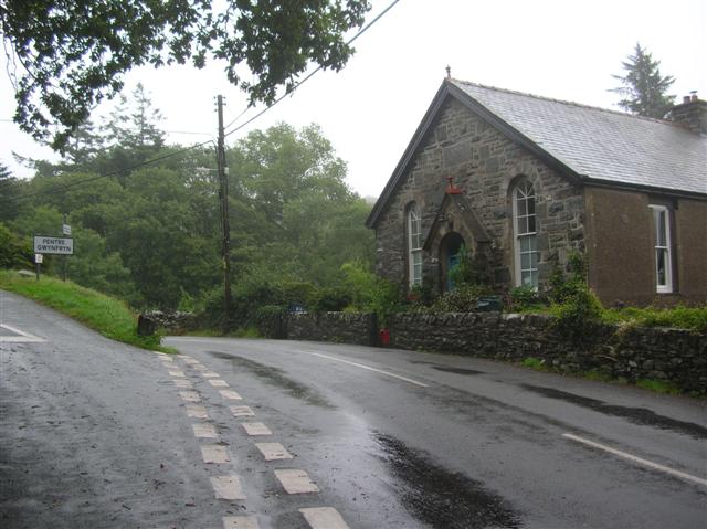
Pentre Gwynfryn

Pentre Gwynfryn is a village in the Ardudwy area of Gwynedd, Wales, about 1 mile (1.6 km) east of Llanbedr. The village is at the confluence of the River...
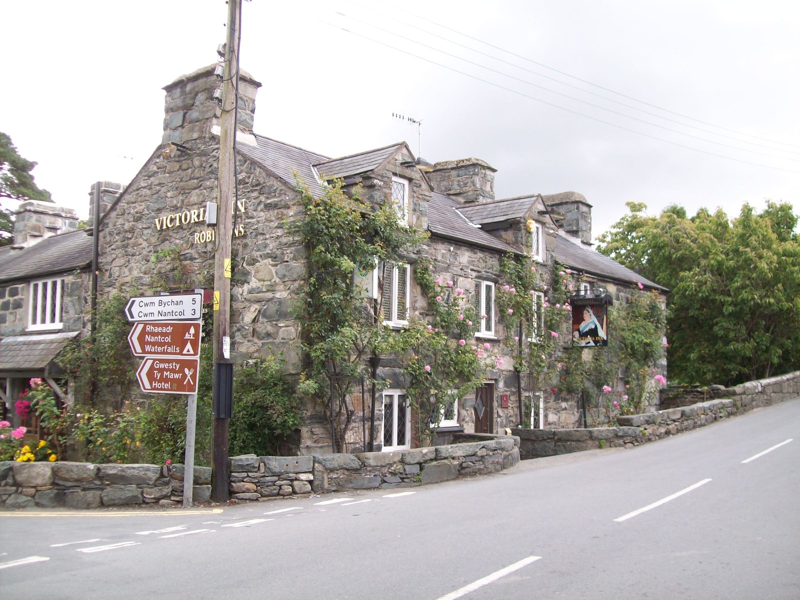
Llanbedr

Llanbedr () is a village and community 2.8 miles (4.5 km) south of Harlech. Administratively, it lies in the Ardudwy area, formerly Meirionnydd, of the...

Nearby Amenities

Located within 500m of 52.822014,-4.072169
Barrier: stile
Lat/Long: 52.8211481/-4.0665716
Barrier: stile
Lat/Long: 52.8225582/-4.0656716
Toilets
Access: private
Lat/Long: 52.8228653/-4.0671583
Drinking Water
Access: private
Lat/Long: 52.8226695/-4.0672677
Nantcol Waterfalls
Fee: yes
Tourism: attraction
Waterway: waterfall
Lat/Long: 52.8207462/-4.0662928
Access: private
Tourism: picnic_site
Lat/Long: 52.8221764/-4.0676207
Barrier: cattle_grid
Lat/Long: 52.8246464/-4.077751
Barrier: cattle_grid
Bicycle: private
Foot: private
Lat/Long: 52.8231274/-4.0690901
Barrier: stile
Lat/Long: 52.8230996/-4.0691031
Barrier: cattle_grid
Lat/Long: 52.8236356/-4.0693418
Toilets
Lat/Long: 52.8231544/-4.0671786
Cafe
Lat/Long: 52.8229322/-4.0678008
Barrier: cattle_grid
Bicycle: yes
Foot: yes
Motorcar: yes
Motorcycle: yes
Lat/Long: 52.8182784/-4.075903
Barrier: stile
Lat/Long: 52.8255091/-4.0685948
Power: pole
Lat/Long: 52.8177088/-4.0719189
Power: pole
Lat/Long: 52.8249088/-4.076973
Power: pole
Lat/Long: 52.8248464/-4.0766001
Parking
Lat/Long: 52.8255149/-4.0751581
Natural: spring
Lat/Long: 52.8180361/-4.0748708
Coed Aber Artro
Hiking: yes
Information: map
Map Size: site
Map Type: scheme
Tourism: information
Lat/Long: 52.8208521/-4.0772576
Power: pole
Lat/Long: 52.8260231/-4.069408
Power: pole
Lat/Long: 52.8255043/-4.0704264
Power: pole
Lat/Long: 52.8250731/-4.0715298
Power: pole
Lat/Long: 52.8249838/-4.0707977
Power: pole
Lat/Long: 52.8246611/-4.0726173
Power: pole
Lat/Long: 52.8243326/-4.0734624
Power: pole
Lat/Long: 52.8236366/-4.0753609
Power: pole
Lat/Long: 52.8233858/-4.0753137
Power: pole
Lat/Long: 52.8243582/-4.0752166
Power: pole
Lat/Long: 52.8243617/-4.0749186
Power: pole
Lat/Long: 52.8247867/-4.0761687
Power: pole
Lat/Long: 52.8246185/-4.0758242
Power: pole
Lat/Long: 52.8244215/-4.0754635
The data included in this document is from www.openstreetmap.org. The data is made available under ODbL.

Have you been to Coed Cefn-cymmerau?

Leave your review of Coed Cefn-cymmerau below (or comments, questions and feedback).