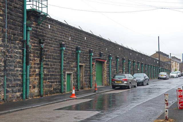
Burnley Lane
Settlement in Lancashire Burnley
England
Burnley Lane
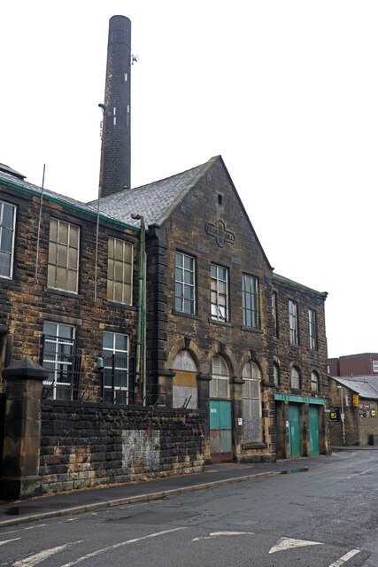
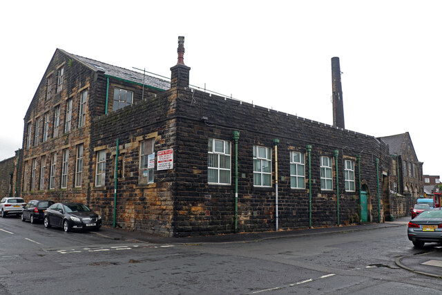
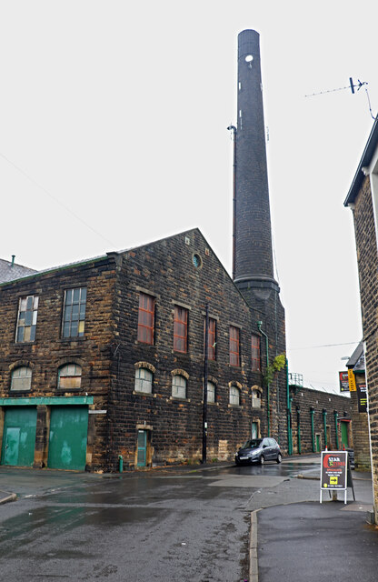
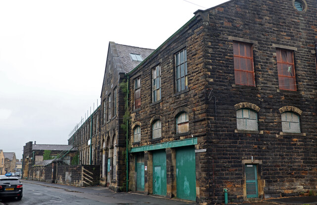
Burnley Lane is a small residential street located in the county of Lancashire, England. It is situated in the town of Burnley, which is known for its industrial heritage and rich history. The lane itself is located in a predominantly residential area, with a mix of houses and small apartment buildings lining its sides.
The street is relatively quiet and peaceful, providing a tranquil environment for its residents. The houses on Burnley Lane are mostly traditional in style, with well-maintained gardens and driveways. The area is popular with families and young professionals due to its close proximity to local amenities and good transport links.
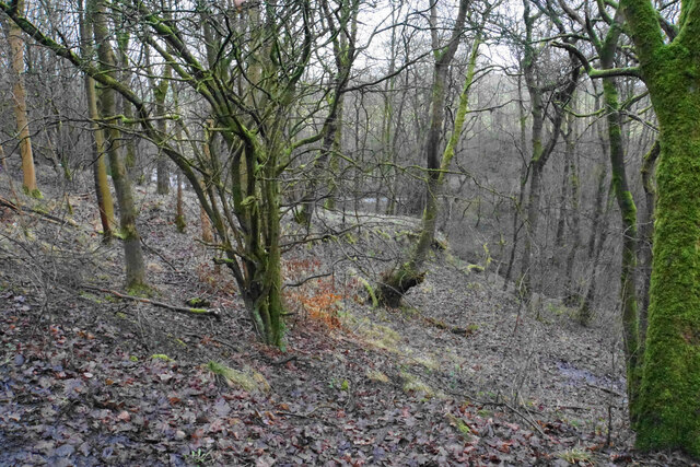
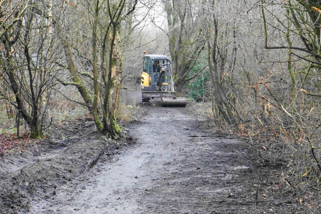
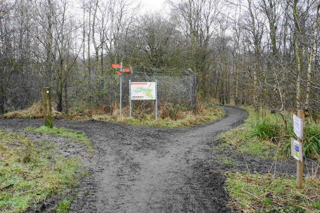
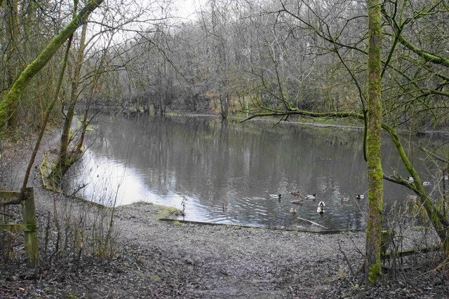
Burnley Lane benefits from its location within Lancashire, offering residents easy access to the surrounding countryside and natural beauty spots. The nearby Towneley Park, with its historic hall and formal gardens, is a popular attraction for locals and visitors alike. The street is also within walking distance of several local schools, making it an ideal location for families with young children.
In terms of amenities, Burnley Lane is well-served by nearby shops, supermarkets, and local businesses. There are also a number of parks, recreational facilities, and green spaces in the vicinity, providing opportunities for outdoor activities and leisure.
Overall, Burnley Lane offers a pleasant and convenient place to live in Lancashire, with its peaceful atmosphere, proximity to amenities, and access to the beauty of the surrounding area.
If you have any feedback on the listing, please let us know in the comments section below.
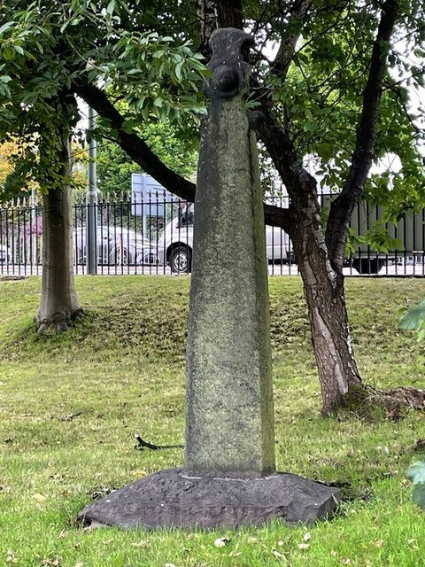
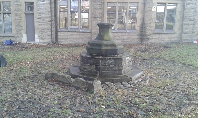
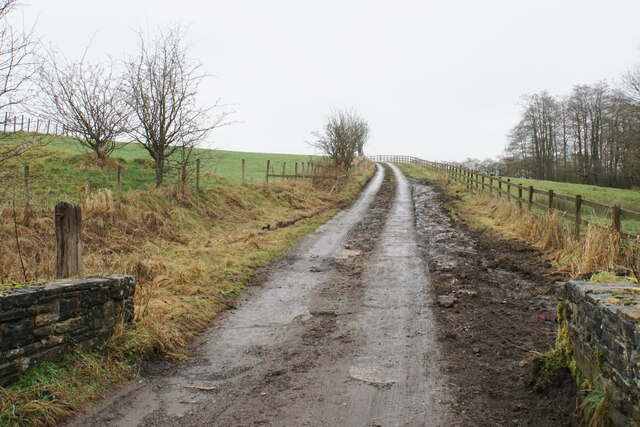
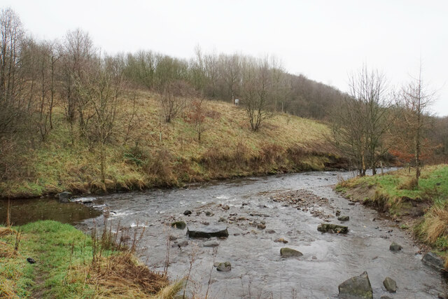
Burnley Lane Images
Images are sourced within 2km of 53.805205/-2.239278 or Grid Reference SD8434. Thanks to Geograph Open Source API. All images are credited.
,_Burnley.jpg)


Burnley Lane is located at Grid Ref: SD8434 (Lat: 53.805205, Lng: -2.239278)
Administrative County: Lancashire
District: Burnley
Police Authority: Lancashire
What 3 Words
///logo.gear.pull. Near Burnley, Lancashire
Nearby Locations
Related Wikis

Thomas Whitham Sixth Form
Thomas Whitham Sixth Form was a mixed 16 to 18 sixth form centre in Burnley, Lancashire. == History == The sixth form opened in September 2006, as part...

St Andrew's Church, Burnley
St Andrew's Church is in Colne Road, Burnley, Lancashire, England. It is an active Anglican parish church in the deanery of Burnley, the archdeaconry...
New Hall Bridge Halt railway station
New Hall Bridge Halt railway station was a station on the East Lancashire line between Brierfield and Burnley in Lancashire, England. It was situated near...
Reedley Hallows Halt railway station
Reedley Hallows Halt railway station was a station on the East Lancashire line between Brierfield and Burnley in Lancashire, England. It was situated on...
Bank Hall Colliery
Bank Hall Colliery was a coal mine on the Burnley Coalfield in Burnley, Lancashire near the Leeds and Liverpool Canal. Sunk in the late 1860s, it was the...
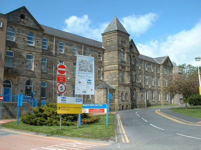
Burnley General Teaching Hospital
The Burnley General Teaching Hospital is an acute District General Hospital in Burnley, Lancashire operated by the East Lancashire Hospitals NHS Trust...

Stoneyholme
Stoneyholme is a district of Burnley, Lancashire, England, situated immediately north of the town centre. It is bounded by the M65 motorway to the west...

Thompson Park (Burnley)
Thompson Park is a formal Edwardian park in Burnley, Lancashire. It was opened to the public in 1930. Located near the town centre, features include a...
Nearby Amenities
Located within 500m of 53.805205,-2.239278Have you been to Burnley Lane?
Leave your review of Burnley Lane below (or comments, questions and feedback).