Coed Arllef

Wood, Forest in Merionethshire

Wales

Coed Arllef

Ordnance Survey Cut Mark This OS cut mark can be found on the SW angle of the Salem Chapel. It marks a point 56.172m above mean sea level.
Ordnance Survey Cut Mark Credit: Adrian Dust

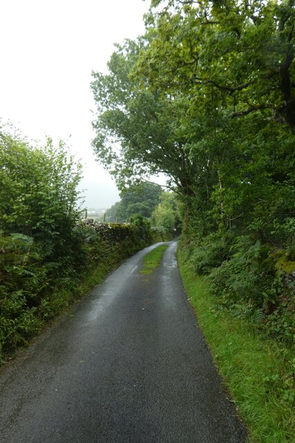
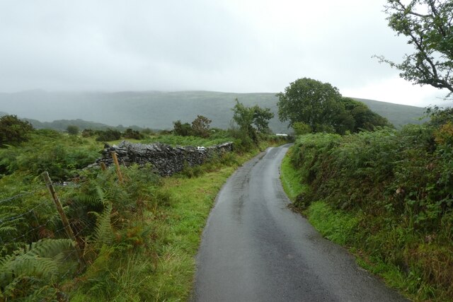
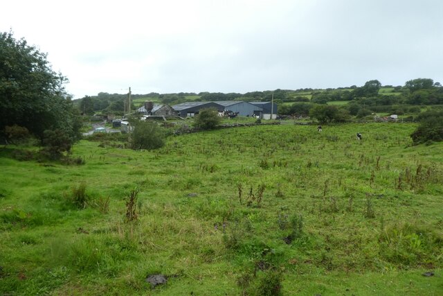
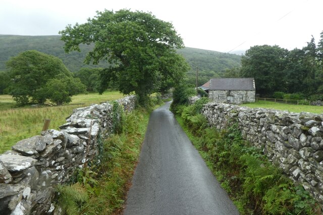
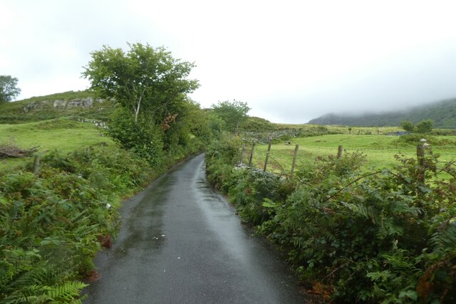
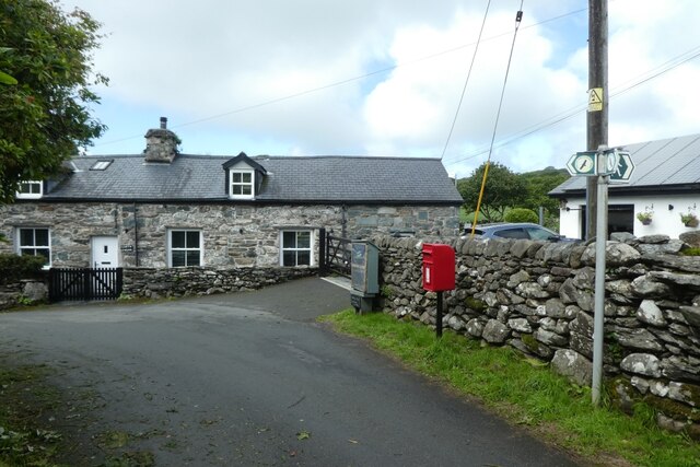
Coed Arllef, located in Merionethshire, is a picturesque wood or forest that spans over a vast area. It is known for its stunning natural beauty and diverse range of flora and fauna. The forest is situated in a rural area, providing a peaceful and tranquil atmosphere for visitors.

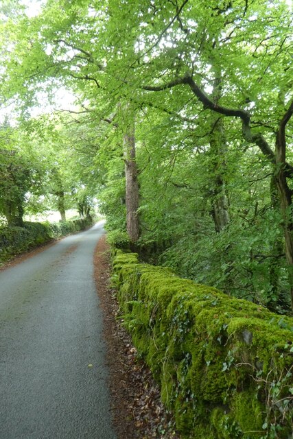
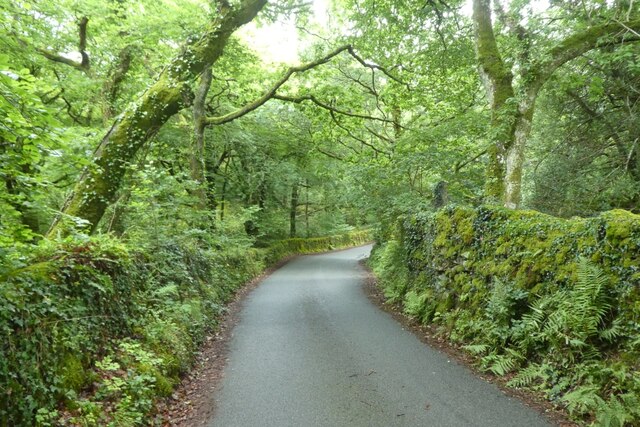
The wood is characterized by its dense canopy of trees, mainly consisting of native species such as oak, beech, and birch. These tall and majestic trees create a cool and shady environment, making it an ideal place for a leisurely walk or hike. The forest floor is covered in a thick layer of moss and undergrowth, which adds to the enchanting ambiance of the wood.

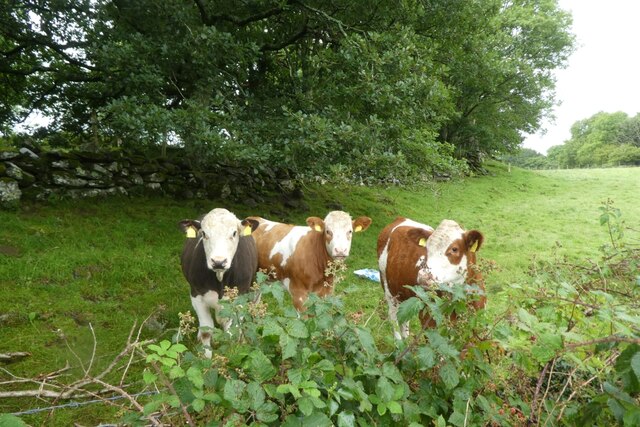
Coed Arllef is home to a wide variety of wildlife, with many species finding sanctuary in its dense vegetation. It is a haven for birdwatchers, as numerous bird species can be spotted here, including woodpeckers, owls, and various songbirds. The forest also provides a habitat for mammals such as deer, foxes, and squirrels.

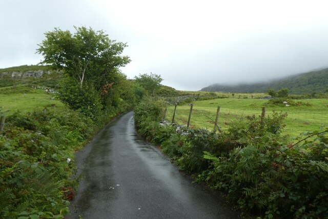
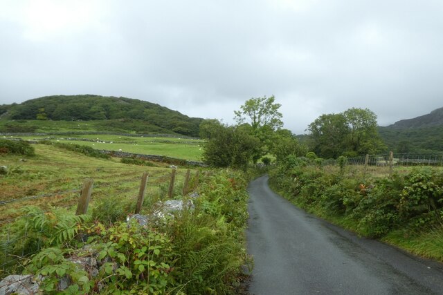
For nature enthusiasts and outdoor adventurers, Coed Arllef offers numerous walking trails and paths to explore. These trails vary in difficulty, catering to both casual strollers and experienced hikers. Along the way, visitors can enjoy breathtaking views of the surrounding countryside and may even stumble upon hidden gems like tranquil streams or small waterfalls.

Overall, Coed Arllef is a magical woodland that showcases the natural beauty of Merionethshire. Its lush vegetation, diverse wildlife, and serene atmosphere make it a must-visit destination for nature lovers and those seeking a peaceful retreat from the hustle and bustle of everyday life.

If you have any feedback on the listing, please let us know in the comments section below.

Coed Arllef Images

Images are sourced within 2km of 52.833196/-4.0851867 or Grid Reference SH5928. Thanks to Geograph Open Source API. All images are credited.

Ordnance Survey Cut Mark This OS cut mark can be found on the SW angle of the Salem Chapel. It marks a point 56.172m above mean sea level.
Ordnance Survey Cut Mark
This OS cut mark can be found on the SW angle of the Salem Chapel. It marks a point 56.172m above mean sea level.
Ordnance Survey Rivet This OS rivet can be found on a stone north side of the road. It marks a point 87.578m above mean sea level.
Ordnance Survey Rivet
This OS rivet can be found on a stone north side of the road. It marks a point 87.578m above mean sea level.
Ordnance Survey Rivet This OS rivet can be found on a stone SE side of the road. It marks a point 97.752m above mean sea level.
Ordnance Survey Rivet
This OS rivet can be found on a stone SE side of the road. It marks a point 97.752m above mean sea level.
Road descending from Rhiwgoch The road between the crossroads at Rhiwgoch and the Afon Artro.
Road descending from Rhiwgoch
The road between the crossroads at Rhiwgoch and the Afon Artro.
Road on a wet day The road between the Afon Artro and Rhiwgoch.
Road on a wet day
The road between the Afon Artro and Rhiwgoch.
Road near Hafod y llyn Looking down the road from Rhiwgoch as the rain falls.
Road near Hafod y llyn
Looking down the road from Rhiwgoch as the rain falls.
Road descending from Rhiwgoch The road leads down to the Afon Artro.
Road descending from Rhiwgoch
The road leads down to the Afon Artro.
Road in the rain The road between the crossroads at Rhiwgoch and the Afon Artro.
Road in the rain
The road between the crossroads at Rhiwgoch and the Afon Artro.
Towards Llwyn lthel Viewed from the road between the crossroads at Rhiwgoch and the Afon Artro.
Towards Llwyn lthel
Viewed from the road between the crossroads at Rhiwgoch and the Afon Artro.
Lane near Werngron The road between the crossroads at Rhiwgoch and the Afon Artro.
Lane near Werngron
The road between the crossroads at Rhiwgoch and the Afon Artro.
Road to Cwm Bychan The road to Cwm Bychan from Llanbedr seen in the rain.
Road to Cwm Bychan
The road to Cwm Bychan from Llanbedr seen in the rain.
Cattle in a field Cattle along the road to Cwm Bychan.
Cattle in a field
Cattle along the road to Cwm Bychan.
Road to Cwm Bychan in the rain The road to Cwm Bychan from Llanbedr seen in the rain.
Road to Cwm Bychan in the rain
The road to Cwm Bychan from Llanbedr seen in the rain.
Wet road towards Cwm Bychan The road to Cwm Bychan from Llanbedr seen in the rain.
Wet road towards Cwm Bychan
The road to Cwm Bychan from Llanbedr seen in the rain.
Lane lined with blackberries The road leads from Cwm Bychan following the course of the Afon Artro to Llanbedr.
Lane lined with blackberries
The road leads from Cwm Bychan following the course of the Afon Artro to Llanbedr.
Letterbox at Pen-y-bont On the corner is a little cupboard with jam for sale. A similar view to <a href="https://www.geograph.org.uk/photo/4589105">SH6028 : Letterbox in Pen-y-Bont</a> and a view from the other direction can be seen in <a href="https://www.geograph.org.uk/photo/6076051">SH6028 : Produce for sale</a>.
Letterbox at Pen-y-bont
On the corner is a little cupboard with jam for sale. A similar view to SH6028 : Letterbox in Pen-y-Bont and a view from the other direction can be seen in SH6028 : Produce for sale.
Moss covered wall The road leads from Cwm Bychan following the course of the Afon Artro to Llanbedr.
Moss covered wall
The road leads from Cwm Bychan following the course of the Afon Artro to Llanbedr.
Moss covered walls on the road to Llanbedr The road leads from Cwm Bychan following the course of the Afon Artro to Llanbedr.
Moss covered walls on the road to Llanbedr
The road leads from Cwm Bychan following the course of the Afon Artro to Llanbedr.
Show me another place!

Coed Arllef is located at Grid Ref: SH5928 (Lat: 52.833196, Lng: -4.0851867)

Unitary Authority: Gwynedd

Police Authority: North Wales

What 3 Words

///wobbles.happening.shook. Near Llanbedr, Gwynedd

Nearby Locations

Coed Arllef

Related Wikis

Capel Salem, Llanbedr

Capel Salem is a Grade II listed building in the hamlet of Pentre Gwynfryn, near Llanbedr, Gwynedd, Wales. This Baptist chapel building is located about...
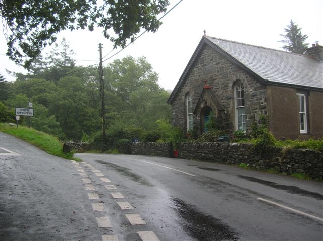
Pentre Gwynfryn

Pentre Gwynfryn is a village in the Ardudwy area of Gwynedd, Wales, about 1 mile (1.6 km) east of Llanbedr. The village is at the confluence of the River...
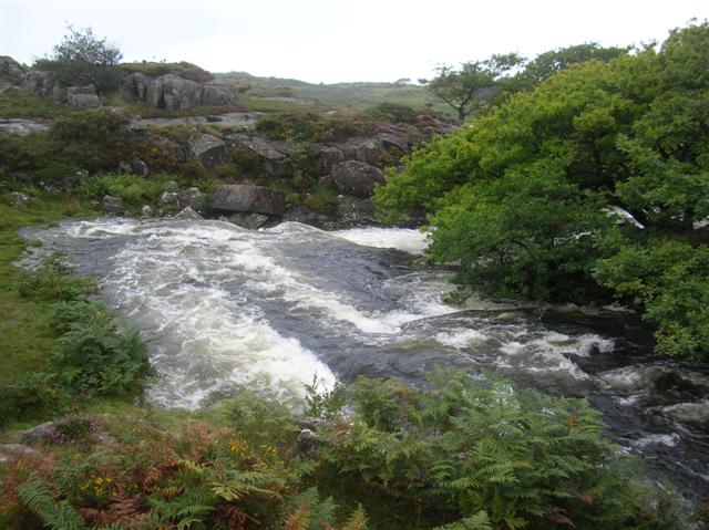
Afon Cwmnantcol

The River Cwmnantcol (Afon Cwmnantcol in Welsh) is a river in North Wales. It is about 3 miles (5 kilometres) long and has its source at the head of Cwm...

Pensarn railway station

Pensarn railway station serves the village of Pensarn in Gwynedd, Wales. The station is an unstaffed halt on the Cambrian Coast Railway with passenger...

Nearby Amenities

Located within 500m of 52.833196,-4.0851867
Barrier: kissing_gate
Foot: yes
Lat/Long: 52.8343689/-4.0886908
Clogwyn Arllef Hillfort
Place: locality
Lat/Long: 52.8371404/-4.086588
Historic: archaeological_site
Lat/Long: 52.836938/-4.0858719
The data included in this document is from www.openstreetmap.org. The data is made available under ODbL.

Have you been to Coed Arllef?

Leave your review of Coed Arllef below (or comments, questions and feedback).