Coed Wallog

Wood, Forest in Cardiganshire

Wales

Coed Wallog

Ordnance Survey Rivet This OS rivet can be found on the boulder west side of the road. It marks a point 71.610m above mean sea level.
Ordnance Survey Rivet Credit: Adrian Dust

Coed Wallog is a captivating wood located in the county of Cardiganshire, Wales. Enveloped by the breathtaking countryside, this woodland is a haven for nature enthusiasts and those seeking tranquility. Spanning over a vast area, Coed Wallog offers a diverse range of flora and fauna, making it an idyllic destination for hikers, birdwatchers, and photographers.

The wood boasts a rich history, dating back centuries. It is believed that Coed Wallog was once part of the ancient Hafod Estate, which was renowned for its picturesque landscapes. Today, the wood is managed by the local council and is open to the public, providing a serene escape from the hustle and bustle of modern life.

As visitors explore Coed Wallog, they will encounter a variety of tree species such as oak, beech, and pine, creating a tapestry of colors throughout the seasons. The woodland floor is adorned with a vibrant carpet of bluebells in the spring, while ferns and mosses thrive in the shaded areas. This diverse ecosystem is also home to a wealth of wildlife, including red kites, badgers, and various bird species.

Several well-marked trails crisscross the wood, offering visitors the opportunity to immerse themselves in its beauty. Along these paths, benches and picnic areas are strategically placed, providing resting spots and a chance to appreciate the surroundings. Coed Wallog is also known for its charming waterfall, which cascades gracefully down a rocky ledge, enhancing the enchanting ambiance of the wood.

In conclusion, Coed Wallog is a captivating woodland in Cardiganshire, Wales, offering visitors a chance to reconnect with nature and experience the beauty of the Welsh countryside. With its rich history, diverse flora and fauna, and well-maintained trails, this wood is a true gem for those seeking a peaceful retreat.

If you have any feedback on the listing, please let us know in the comments section below.
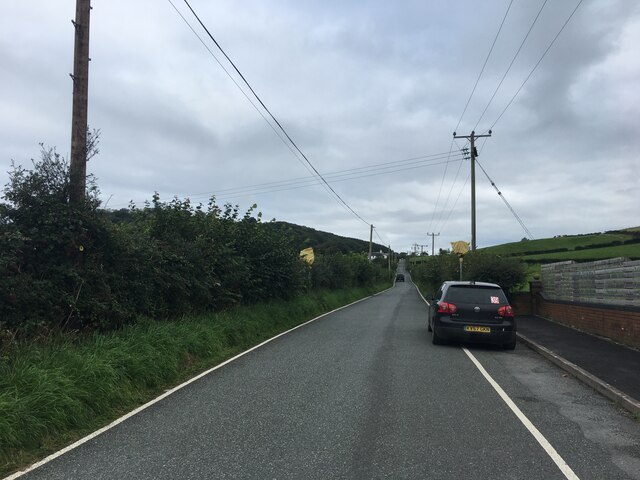
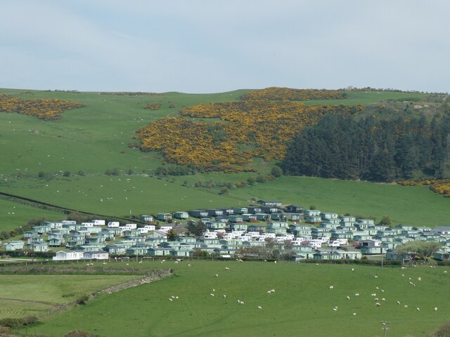
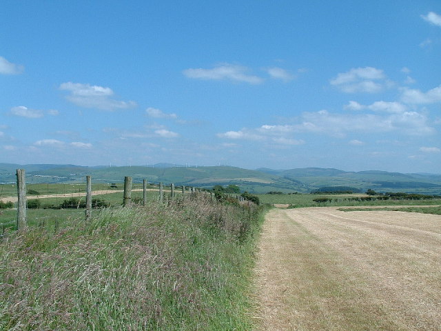
Coed Wallog Images

Images are sourced within 2km of 52.453895/-4.0674659 or Grid Reference SN5986. Thanks to Geograph Open Source API. All images are credited.

Ordnance Survey Rivet This OS rivet can be found on the boulder west side of the road. It marks a point 71.610m above mean sea level.
Ordnance Survey Rivet
This OS rivet can be found on the boulder west side of the road. It marks a point 71.610m above mean sea level.
B4572 near Clarach
B4572 near Clarach
Ordnance Survey Cut Mark This OS cut mark can be found on the gatepost east side of the road. It marks a point 66.017m above mean sea level.
Ordnance Survey Cut Mark
This OS cut mark can be found on the gatepost east side of the road. It marks a point 66.017m above mean sea level.
Ordnance Survey Cut Mark This OS cut mark can be found on the gatepost east side of the road. It marks a point 65.392m above mean sea level.
Ordnance Survey Cut Mark
This OS cut mark can be found on the gatepost east side of the road. It marks a point 65.392m above mean sea level.
Caravan park at Glangors
Llwybr arfordir Ceredigion The Ceredigion (and Wales) Coastal Path south of Borth, on the way to Clarach and Aberystwyth.  Borth's war memorial, on the headland above the village, can be seen in the distance.
Llwybr arfordir Ceredigion
The Ceredigion (and Wales) Coastal Path south of Borth, on the way to Clarach and Aberystwyth. Borth's war memorial, on the headland above the village, can be seen in the distance.
Wallog a Sarn Gynfelyn The C19 farmhouse of Wallog is spectacularly sited, alone on the shore between Borth and Clarach. In front of it is one of the sarnau (causeways) of Cardigan Bay, glacial morraines midway between the bay's estuaries that extend out into the sea for miles.  Like its brethren, Sarn Gynfelyn, seen here at less than its best at high tide, is said to be one of the old routes into the Cantre'r Gwaelod, the sunken land beneath Cardigan Bay.  The view is taken from the coast path, which can be seen receding into the distance on the other side of Wallog.
Wallog a Sarn Gynfelyn
The C19 farmhouse of Wallog is spectacularly sited, alone on the shore between Borth and Clarach. In front of it is one of the sarnau (causeways) of Cardigan Bay, glacial morraines midway between the bay's estuaries that extend out into the sea for miles. Like its brethren, Sarn Gynfelyn, seen here at less than its best at high tide, is said to be one of the old routes into the Cantre'r Gwaelod, the sunken land beneath Cardigan Bay. The view is taken from the coast path, which can be seen receding into the distance on the other side of Wallog.
Pasture and woodland, nr. Clarach Pasture with woodland on the adjacent hillside. On the road from Bowstreet to Clarach, looking NW.
Pasture and woodland, nr. Clarach
Pasture with woodland on the adjacent hillside. On the road from Bowstreet to Clarach, looking NW.
Cambrian view Looking NE from the hill above Borth, towards the Wind Farm near to Devil's Bridge
Cambrian view
Looking NE from the hill above Borth, towards the Wind Farm near to Devil's Bridge
Near Bryn-bwl Fields near Bryn-bwl, 2km S of Borth, looking SW.
Near Bryn-bwl
Fields near Bryn-bwl, 2km S of Borth, looking SW.
Maize fields Field of maize, looking NW towards Ty-du farm.
Maize fields
Field of maize, looking NW towards Ty-du farm.
Ffosygrafel-uchaf Fields looking N towards Ffosygrafel-uchaf farm.
Ffosygrafel-uchaf
Fields looking N towards Ffosygrafel-uchaf farm.
Quarry, Ffosygrafel-isaf Small stone quarry by Ffosygrafel isaf farm
Quarry, Ffosygrafel-isaf
Small stone quarry by Ffosygrafel isaf farm
Wileiriog-Uchaf Fields and farm buildings, Wileiriog Uchaf farm
Wileiriog-Uchaf
Fields and farm buildings, Wileiriog Uchaf farm
Wileiriog-fach Derelict cottage, Wileiriog fach
Wileiriog-fach
Derelict cottage, Wileiriog fach
Borth looking north over Ynyslas towards Aberdovey Borth is a small coastal village once noted for shipbuilding and fishing but now it is mainly holiday makers. Ynyslas is a long spit
Borth looking north over Ynyslas towards Aberdovey
Borth is a small coastal village once noted for shipbuilding and fishing but now it is mainly holiday makers. Ynyslas is a long spit
Minor road approaching Wileirog-Uchaf farm With the solid stone barn of the farm visible ahead.
Minor road approaching Wileirog-Uchaf farm
With the solid stone barn of the farm visible ahead.
Minor road near Wileirog-fach Here descending through native woodland while heading for the B4572.
Minor road near Wileirog-fach
Here descending through native woodland while heading for the B4572.
Show me another place!

Coed Wallog is located at Grid Ref: SN5986 (Lat: 52.453895, Lng: -4.0674659)

Unitary Authority: Ceredigion

Police Authority: Dyfed Powys

What 3 Words

///bulletins.prevents.grace. Near Bow Street, Ceredigion

Nearby Locations

Coed Wallog

Related Wikis

Llangorwen

Llangorwen is a village located in the county of Ceredigion, Mid-Wales. Close to Clarach Bay and a mile north of Aberystwyth. The Church of All Saints...

Wallog

Wallog is a beach on the coast of Cardigan Bay north of Aberystwyth between Clarach Bay and Borth in the county of Ceredigion, Mid-Wales. A shingle spit...

Rhyd-Meirionnydd

Rhyd Meirionnydd (wrongly spelt: Rhyd-meirionydd) is a small village in the community of Genau'r-glyn, Ceredigion, Wales, which is 77.3 miles (124.3 km...

Sarn Gynfelyn

Sarn Gynfelyn (or Sarn Cynfelyn) is a shingle spit on the coast of Cardigan Bay, in the county of Ceredigion, Mid-Wales, in the United Kingdom. It is located...

Nearby Amenities

Located within 500m of 52.453895,-4.0674659
Moel Cerni
Natural: peak
Wikidata: Q106711182
Lat/Long: 52.4565726/-4.0684283
The data included in this document is from www.openstreetmap.org. The data is made available under ODbL.

Have you been to Coed Wallog?

Leave your review of Coed Wallog below (or comments, questions and feedback).