Betws Plantations
Wood, Forest in Cardiganshire
Wales
Betws Plantations
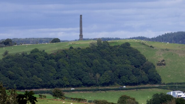
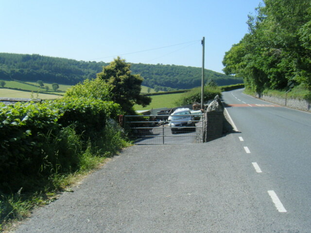
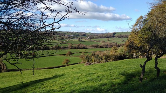
Betws Plantations is a scenic woodland area located in Cardiganshire, Wales. Covering a vast expanse of land, it is known for its abundant natural beauty and diverse range of flora and fauna. The plantations are situated near the village of Betws Bledrws, providing a tranquil and serene environment for visitors.
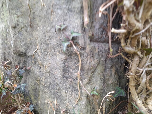
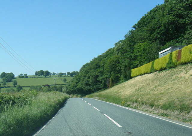
The woodlands of Betws Plantations are primarily made up of deciduous and coniferous trees, creating a rich and varied landscape. Oak, beech, and birch trees dominate the area, while pine and spruce trees add to the overall charm. This blend of tree species not only enhances the aesthetic appeal but also provides a habitat for numerous wildlife species.
The plantations are home to a wide array of wildlife, including various bird species, such as buzzards, woodpeckers, and owls. Mammals like badgers, foxes, and deer can also be spotted within the woodlands. The diverse ecosystem of Betws Plantations makes it a popular destination for nature enthusiasts, birdwatchers, and photographers.
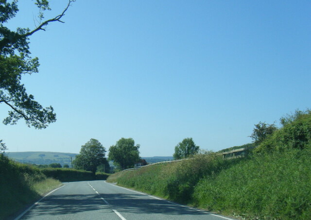
Visitors can explore the woodlands through a network of well-maintained trails, allowing them to immerse themselves in the natural surroundings. The picturesque landscape offers breathtaking views, especially during the autumn months when the foliage transforms into vibrant shades of red, orange, and gold.
Betws Plantations provide a peaceful retreat away from the hustle and bustle of city life. Whether it's a leisurely stroll, a picnic, or simply enjoying the tranquil atmosphere, this woodland area is a must-visit for those seeking a connection with nature in Cardiganshire.
If you have any feedback on the listing, please let us know in the comments section below.
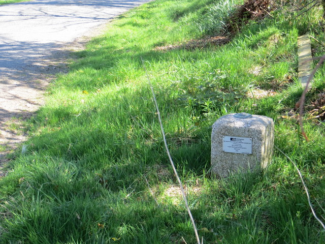
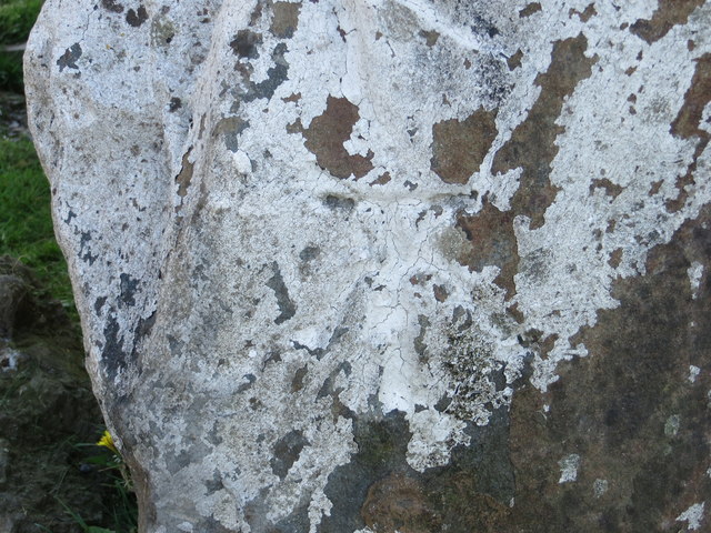
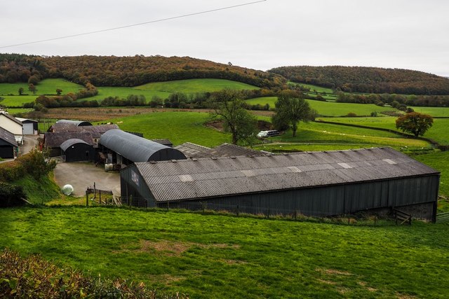
Betws Plantations Images
Images are sourced within 2km of 52.144091/-4.0574218 or Grid Reference SN5951. Thanks to Geograph Open Source API. All images are credited.

Betws Plantations is located at Grid Ref: SN5951 (Lat: 52.144091, Lng: -4.0574218)
Unitary Authority: Ceredigion
Police Authority: Dyfed Powys
What 3 Words
///jumpy.chromatic.scrum. Near Llangybi, Ceredigion
Nearby Locations
Related Wikis

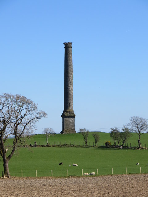
Derry Ormond Tower
Derry Ormond Tower is a Grade II*-listed folly situated above Betws Bledrws, 3 miles (4.8 km) north of Lampeter in the county of Ceredigion, Wales. It...

Derry Ormond railway station
Derry Ormond railway station served the hamlet and rural locale of Betws Bledrws near Llangybi, as well as the mansion and estate of Derry Ormond (demolished...
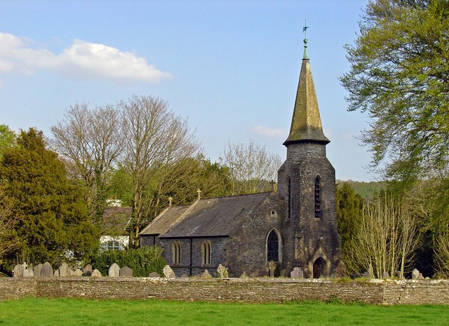
Betws Bledrws Church
The present church of St Bledrws, in the village of Betws Bledrws (sometimes spelt Bettws Bledrws), near Lampeter, Ceredigion, Wales, is a 19th-century...
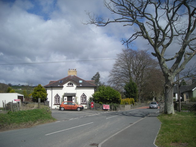
Betws Bledrws
Betws Bledrws, is a village between Lampeter and Llangybi, Ceredigion, Wales that was also known as Derry Ormond when under the influence of Derry Ormond...
Nearby Amenities
Located within 500m of 52.144091,-4.0574218Have you been to Betws Plantations?
Leave your review of Betws Plantations below (or comments, questions and feedback).