Coed Llechweddmelyn
Wood, Forest in Cardiganshire
Wales
Coed Llechweddmelyn
Coed Llechweddmelyn, located in Cardiganshire, Wales, is a picturesque woodland area that encompasses an area of approximately [insert size]. It is a place of great natural beauty and is home to a diverse range of flora and fauna.
The woodland is predominantly made up of native deciduous trees such as oak, ash, beech, and birch, which create a rich and vibrant canopy. These trees provide habitat for a variety of bird species, including woodpeckers, owls, and various songbirds.
Coed Llechweddmelyn is crisscrossed by a network of footpaths, allowing visitors to explore its enchanting trails. The paths wind through the woodland, leading visitors past streams, small waterfalls, and wildflower meadows. The peaceful and serene atmosphere makes it an ideal location for nature lovers, hikers, and photographers alike.
The woodland is also home to a diverse range of wildlife. Red squirrels can be spotted darting among the trees, while badgers, foxes, and rabbits can often be seen foraging for food. The area is also known for its rich insect life, with butterflies and dragonflies flitting amongst the wildflowers during the warmer months.
Coed Llechweddmelyn is a designated Site of Special Scientific Interest (SSSI) due to its ecological importance. It is actively managed by local conservation organizations to preserve its natural habitat and protect its resident species.
Overall, Coed Llechweddmelyn is a stunning woodland area in Cardiganshire, offering visitors the opportunity to immerse themselves in nature and experience the beauty of the Welsh countryside.
If you have any feedback on the listing, please let us know in the comments section below.
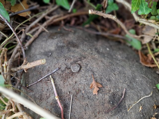
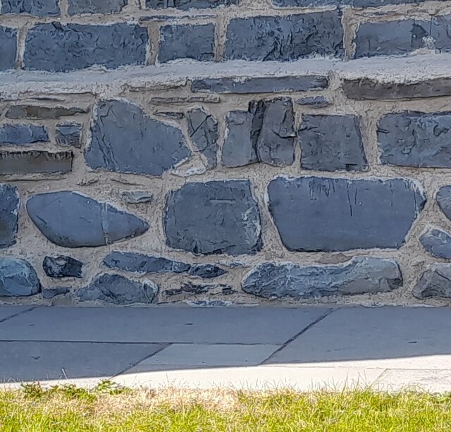
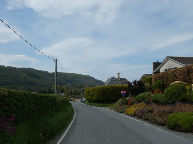
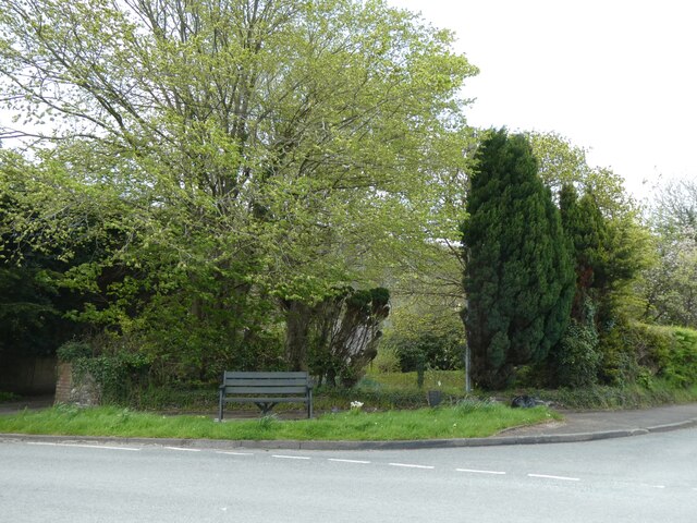
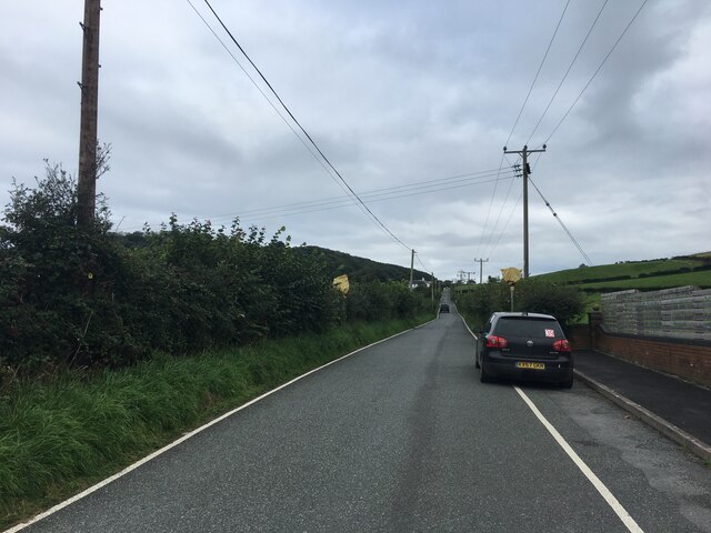
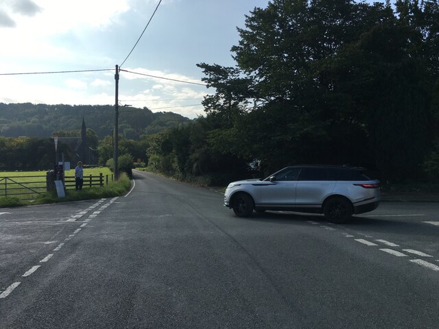
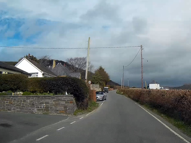
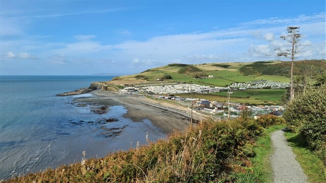
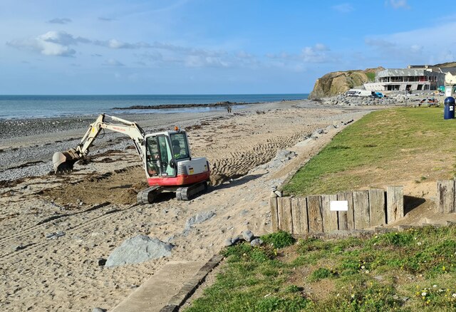
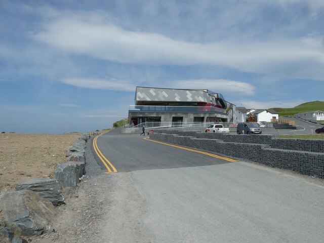
Coed Llechweddmelyn Images
Images are sourced within 2km of 52.450373/-4.0724664 or Grid Reference SN5985. Thanks to Geograph Open Source API. All images are credited.
Coed Llechweddmelyn is located at Grid Ref: SN5985 (Lat: 52.450373, Lng: -4.0724664)
Unitary Authority: Ceredigion
Police Authority: Dyfed Powys
What 3 Words
///sweetener.ejects.hurls. Near Bow Street, Ceredigion
Nearby Locations
Related Wikis

Llangorwen
Llangorwen is a village located in the county of Ceredigion, Mid-Wales. Close to Clarach Bay and a mile north of Aberystwyth. The Church of All Saints...

Wallog
Wallog is a beach on the coast of Cardigan Bay north of Aberystwyth between Clarach Bay and Borth in the county of Ceredigion, Mid-Wales. A shingle spit...

Sarn Gynfelyn
Sarn Gynfelyn (or Sarn Cynfelyn) is a shingle spit on the coast of Cardigan Bay, in the county of Ceredigion, Mid-Wales, in the United Kingdom. It is located...

Rhyd-Meirionnydd
Rhyd Meirionnydd (wrongly spelt: Rhyd-meirionydd) is a small village in the community of Genau'r-glyn, Ceredigion, Wales, which is 77.3 miles (124.3 km...

Glan-y-môr, Ceredigion
Glan-y-môr is a small village in the community of Tirymynach, Ceredigion, Wales, which is 76.4 miles (123 km) from Cardiff and 180 miles (289.7 km) from...

Afon Clarach
The Afon Clarach (English: River Clarach) is a small river discharging into Cardigan Bay north of Aberystwyth. It flows through a largely agricultural...

Upper Borth
Upper Borth is a small village in Ceredigion, Wales, part of Borth.
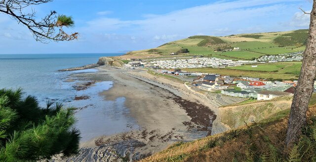
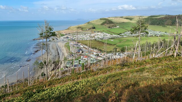
Clarach Bay
Clarach Bay is a small bay on the coast of Ceredigion, Wales, to the north of Aberystwyth, where the Afon Clarach flows into the sea. It has given homes...
Nearby Amenities
Located within 500m of 52.450373,-4.0724664Have you been to Coed Llechweddmelyn?
Leave your review of Coed Llechweddmelyn below (or comments, questions and feedback).