Allt Dolau

Wood, Forest in Cardiganshire

Wales

Allt Dolau

Ordnance Survey Cut Mark This OS cut mark can be found on the NE angle of the chapel. It marks a point 175.647m above mean sea level.
Ordnance Survey Cut Mark Credit: Adrian Dust

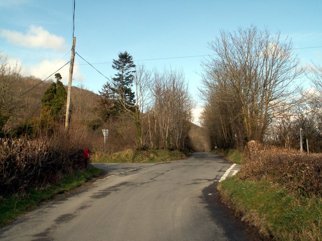
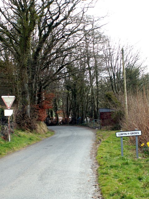
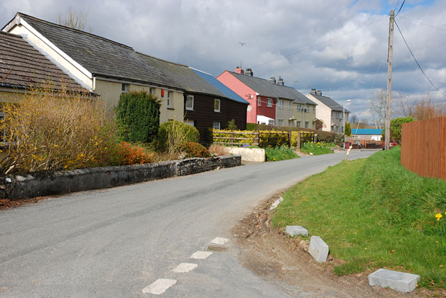
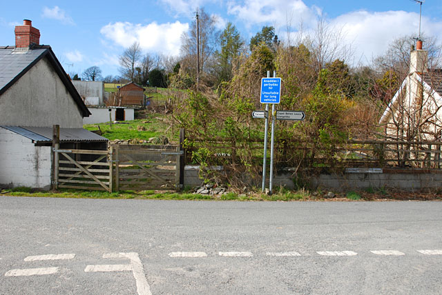
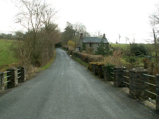
Allt Dolau is a picturesque woodland area located in the county of Cardiganshire, Wales. Covering an expansive area, this forest is renowned for its natural beauty and diverse ecosystem. It is situated between the villages of Pontrhydfendigaid and Ysbyty Ystwyth, offering a tranquil retreat for nature enthusiasts and hikers.

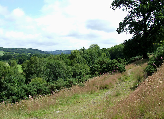
The woodland of Allt Dolau is predominantly composed of native tree species such as oak, birch, and beech. The dense canopy created by these trees provides a shaded and cool environment, ideal for a variety of plant and animal species. In spring, the forest floor comes alive with a vibrant display of wildflowers, including bluebells and primroses.

The forest is crisscrossed by a network of walking trails, allowing visitors to explore its hidden treasures. One of the most popular routes is the Dolau Loop, which takes hikers on a gentle ascent through the woods and offers breathtaking views of the surrounding countryside. Along the way, there are several picnic spots and benches where visitors can take a break and enjoy the peaceful ambiance.

Allt Dolau is also home to a rich array of wildlife. Many bird species can be spotted here, including woodpeckers, buzzards, and tawny owls. Mammals such as foxes, badgers, and deer inhabit the forest, adding to its natural charm.

Whether you are an avid birdwatcher, a hiking enthusiast, or simply seeking a serene environment to unwind, Allt Dolau is a destination that offers a unique and enriching experience.

If you have any feedback on the listing, please let us know in the comments section below.
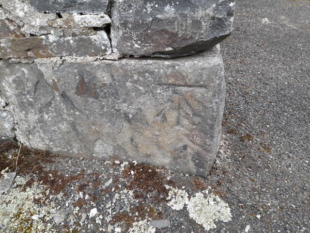
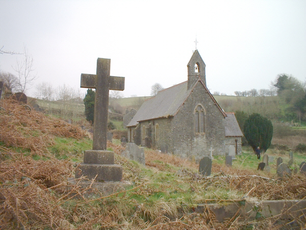
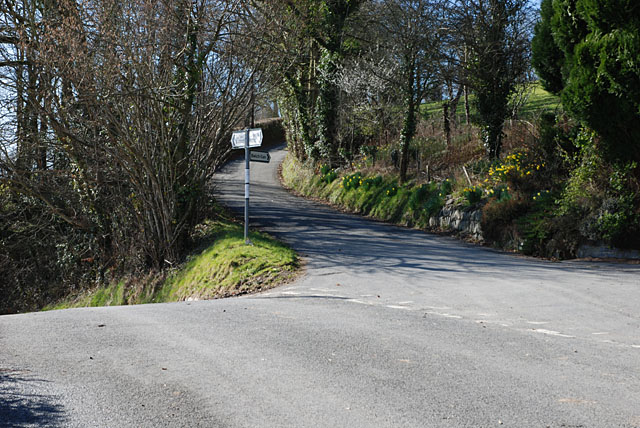
Allt Dolau Images

Images are sourced within 2km of 52.19986/-4.0650461 or Grid Reference SN5857. Thanks to Geograph Open Source API. All images are credited.

Ordnance Survey Cut Mark This OS cut mark can be found on the NE angle of the chapel. It marks a point 175.647m above mean sea level.
Ordnance Survey Cut Mark
This OS cut mark can be found on the NE angle of the chapel. It marks a point 175.647m above mean sea level.
Ordnance Survey Cut Mark This OS cut mark can be found on the churn stand NW side of the road. It marks a point 169.411m above mean sea level. <a title="https://www.geograph.org.uk/photo/7412363" href="https://www.geograph.org.uk/photo/7412363">Link</a>
Ordnance Survey Cut Mark
This OS cut mark can be found on the churn stand NW side of the road. It marks a point 169.411m above mean sea level. Link
Churn Stand There is an Ordnance Survey cut mark on the front of the stand. <a title="https://www.geograph.org.uk/photo/7412358" href="https://www.geograph.org.uk/photo/7412358">Link</a>
Churn Stand
There is an Ordnance Survey cut mark on the front of the stand. Link
Ordnance Survey Cut Mark This OS cut mark can be found on the gatepost north side of the road. It marks a point 164.967m above mean sea level.
Ordnance Survey Cut Mark
This OS cut mark can be found on the gatepost north side of the road. It marks a point 164.967m above mean sea level.
Ordnance Survey Cut Mark This OS cut mark can be found on the SE angle of the church. It marks a point 148.605m above mean sea level.
Ordnance Survey Cut Mark
This OS cut mark can be found on the SE angle of the church. It marks a point 148.605m above mean sea level.
Ordnance Survey Rivet This OS rivet can be found on the north parapet of the bridge. It marks a point 109.140m above mean sea level.
Ordnance Survey Rivet
This OS rivet can be found on the north parapet of the bridge. It marks a point 109.140m above mean sea level.
Church, Nantcwnlle
Church, Nantcwnlle
B4342 junction with a minor road to Bwlch-llan Here the B4342 descends to near the Afon Aeron, while the minor road heads uphill to serve several farms and other dwellings.
B4342 junction with a minor road to Bwlch-llan
Here the B4342 descends to near the Afon Aeron, while the minor road heads uphill to serve several farms and other dwellings.
The B4342 to Llangeitho from Tal-sarn Pic taken near to Bwlch-Llan which is first left onto the B4576 at the cross roads shown.
The B4342 to Llangeitho from Tal-sarn
Pic taken near to Bwlch-Llan which is first left onto the B4576 at the cross roads shown.
Wernfelen on the road to Abermeurig From Gartheli.
Wernfelen on the road to Abermeurig
From Gartheli.
Nant Meurig Looking SE from Gartheli.
Nant Meurig
Looking SE from Gartheli.
Approaching Llwyn-y-groes from Gartheli
Main street, Llwyn-y-groes
Road junction, Llwyn-y-groes Where the lane from Olmarch meets the road between Llangeitho and Lampeter.
Road junction, Llwyn-y-groes
Where the lane from Olmarch meets the road between Llangeitho and Lampeter.
Caeronen from the bridge over the Nant Meurig
The B4576 at Hafod Looking to College Wood.
The B4576 at Hafod
Looking to College Wood.
Chapel at Bwlch-Llan, Ceredigion Built originally in 1841, then rebuilt and extended in 1876. This was a Calvinistic Methodist Chapel, now run by the Presbyterian Church of Wales.
Chapel at Bwlch-Llan, Ceredigion
Built originally in 1841, then rebuilt and extended in 1876. This was a Calvinistic Methodist Chapel, now run by the Presbyterian Church of Wales.
Footpath towards Capel Betws Lleucu, Ceredigion This footpath has traversed the lower slopes of the steep valley side for nearly two miles, and leads to Capel Betws Lleucu.
Footpath towards Capel Betws Lleucu, Ceredigion
This footpath has traversed the lower slopes of the steep valley side for nearly two miles, and leads to Capel Betws Lleucu.
Show me another place!

Allt Dolau is located at Grid Ref: SN5857 (Lat: 52.19986, Lng: -4.0650461)

Unitary Authority: Ceredigion

Police Authority: Dyfed Powys

What 3 Words

///heartless.soon.clenching. Near Llangybi, Ceredigion

Nearby Locations

Allt Tynffynnon Allt Dolau

Related Wikis

Capel Betws Lleucu

Capel Betws Lleucu is a hamlet in Cardiganshire, Wales.SY postcode area SY 25 6 SN606583 == References == == External links == http://www.accuweather.com/en/gb/capel...

Nantcwnlle

Nantcwnlle is a community in Ceredigion, Wales, including the villages of Talsarn and Llwyn-y-groes. Daniel Rowland (1713–1790), was born in Nantcwnlle...

Cors Nantcwnlle

Cors Nantcwnlle is a Site of Special Scientific Interest near Bwlchllan in Ceredigion, west Wales. Until the early twentieth century the site was renowned...

Abermeurig

Abermeurig (also spelt Aber-meurig) is a small village in the county of Ceredigion, Wales.

Crynfryn

Crynfryn is a hamlet bach in the community of Nantcwnlle, Ceredigion, Wales, which is 64.6 miles (104 km) from Cardiff and 175.7 miles (282.8 km) from...

Llangeitho

Llangeitho is a village and community on the upper River Aeron in Ceredigion, Wales, about four miles (6 km) west of Tregaron and 11 kilometres (7 mi)...

Blaenplwyf Halt railway station

Blaenplwyf Halt railway station was a small railway station in a very rural location, the second stop after the junction for the Aberayron branch of the...

Olmarch

Olmarch is a hamlet in the community of Llangybi, Ceredigion, Wales, which is 59.9 miles (96.4 km) from Cardiff and 172.1 miles (277 km) from London. Olmarch...

Nearby Amenities

Located within 500m of 52.19986,-4.0650461
Created By: POI Editor
Source: npe
Lat/Long: 52.1992049/-4.0717694
Created By: POI Editor
Source: npe
Lat/Long: 52.1996434/-4.0713801
Created By: POI Editor
Source: npe
Lat/Long: 52.1996229/-4.0705011
Created By: POI Editor
Source: npe
Lat/Long: 52.200817/-4.0680396
Created By: POI Editor
Source: npe
Lat/Long: 52.2006814/-4.067565
Created By: POI Editor
Source: npe
Lat/Long: 52.2009556/-4.0662899
Created By: POI Editor
Source: npe
Lat/Long: 52.2016086/-4.065969
Created By: POI Editor
Source: npe
Lat/Long: 52.2012985/-4.0651936
Source: npe
Lat/Long: 52.2014466/-4.0642565
Source: npe
Lat/Long: 52.2015743/-4.0635141
Source: npe
Lat/Long: 52.2021394/-4.0631599
Source: npe
Lat/Long: 52.2025159/-4.0610671
Created By: POI Editor
Source: npe
Lat/Long: 52.2021113/-4.0598458
Source: npe
Lat/Long: 52.2020964/-4.0589771
Ele: 210
Natural: peak
Lat/Long: 52.1962282/-4.0630562
The data included in this document is from www.openstreetmap.org. The data is made available under ODbL.

Have you been to Allt Dolau?

Leave your review of Allt Dolau below (or comments, questions and feedback).