Allt Tynffynnon
Wood, Forest in Cardiganshire
Wales
Allt Tynffynnon
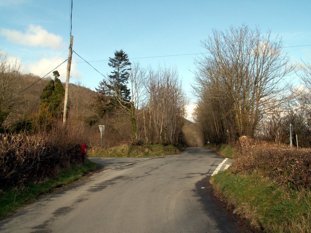
Allt Tynffynnon is a dense woodland located in the historic county of Cardiganshire, Wales. Covering an area of approximately 200 acres, it is a haven for nature enthusiasts and hikers alike. The woodland is situated on a steep hillside, providing breathtaking views of the surrounding countryside.
The forest is predominantly comprised of native species, including oak, beech, and birch trees, which create a diverse and vibrant ecosystem. The dense canopy allows minimal sunlight to reach the forest floor, resulting in a lush understory of ferns, mosses, and wildflowers.
Allt Tynffynnon is home to a wide array of wildlife. Visitors may encounter various bird species, such as woodpeckers, owls, and buzzards, as well as small mammals like foxes, badgers, and rabbits. The tranquil atmosphere of the forest makes it an ideal habitat for these creatures.
A network of well-maintained footpaths and trails meanders through the woodland, providing opportunities for visitors to explore and discover its hidden treasures. These paths vary in difficulty, catering to both casual walkers and more experienced hikers. Information boards are strategically placed throughout the forest, offering insights into the local flora and fauna.
The woodland is a popular destination for outdoor enthusiasts seeking activities such as birdwatching, photography, and picnicking. Additionally, its serene and secluded setting makes it an ideal spot for relaxation and meditation, providing an escape from the hustle and bustle of everyday life.
Allt Tynffynnon is a cherished natural gem, offering a tranquil retreat and a chance to reconnect with nature in the heart of Cardiganshire.
If you have any feedback on the listing, please let us know in the comments section below.
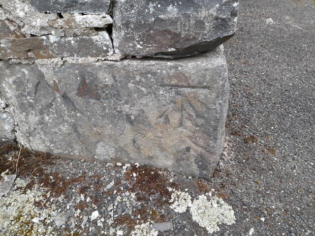
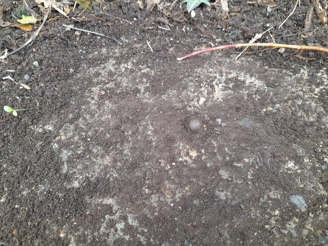
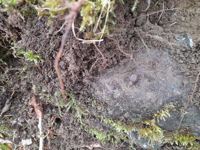
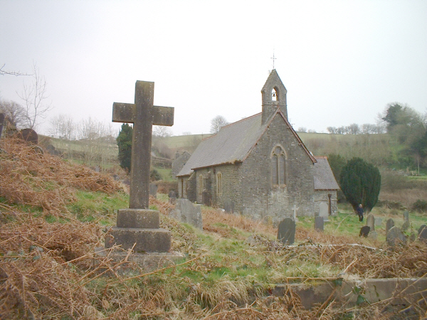
Allt Tynffynnon Images
Images are sourced within 2km of 52.196985/-4.0787261 or Grid Reference SN5857. Thanks to Geograph Open Source API. All images are credited.


Allt Tynffynnon is located at Grid Ref: SN5857 (Lat: 52.196985, Lng: -4.0787261)
Unitary Authority: Ceredigion
Police Authority: Dyfed Powys
What 3 Words
///cascade.lives.invoices. Near Llangybi, Ceredigion
Nearby Locations
Related Wikis

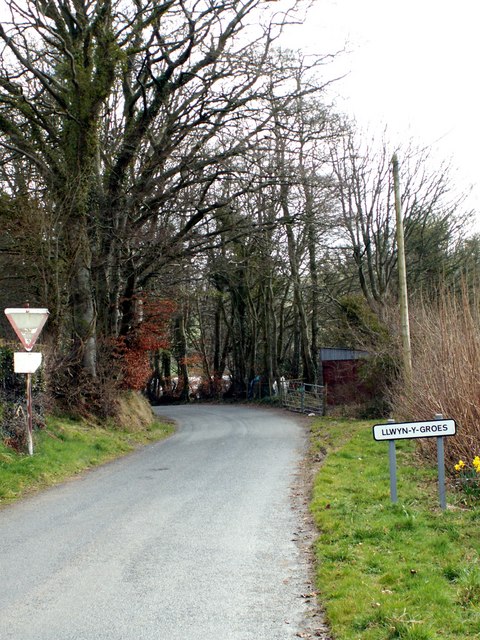
Nantcwnlle
Nantcwnlle is a community in Ceredigion, Wales, including the villages of Talsarn and Llwyn-y-groes. Daniel Rowland (1713–1790), was born in Nantcwnlle...

Abermeurig
Abermeurig (also spelt Aber-meurig) is a small village in the county of Ceredigion, Wales.
Cors Nantcwnlle
Cors Nantcwnlle is a Site of Special Scientific Interest near Bwlchllan in Ceredigion, west Wales. Until the early twentieth century the site was renowned...
Capel Betws Lleucu
Capel Betws Lleucu is a hamlet in Cardiganshire, Wales.SY postcode area SY 25 6 SN606583 == References == == External links == http://www.accuweather.com/en/gb/capel...

Blaenplwyf Halt railway station
Blaenplwyf Halt railway station was a small railway station in a very rural location, the second stop after the junction for the Aberayron branch of the...
Talsarn
Talsarn is a hamlet in the community of Nantcwnlle, Ceredigion, Wales. It lies some 16 miles (26 km) south of Aberystwyth, 64 miles (103 km) north-west...
Crynfryn
Crynfryn is a hamlet bach in the community of Nantcwnlle, Ceredigion, Wales, which is 64.6 miles (104 km) from Cardiff and 175.7 miles (282.8 km) from...
Trychrug
for the hill in Carmarthenshire with a similar name see TrichrugTrychrug is a mountain in Ceredigion, Wales, which rises to 343 metres (1,125 ft) high...
Nearby Amenities
Located within 500m of 52.196985,-4.0787261Have you been to Allt Tynffynnon?
Leave your review of Allt Tynffynnon below (or comments, questions and feedback).