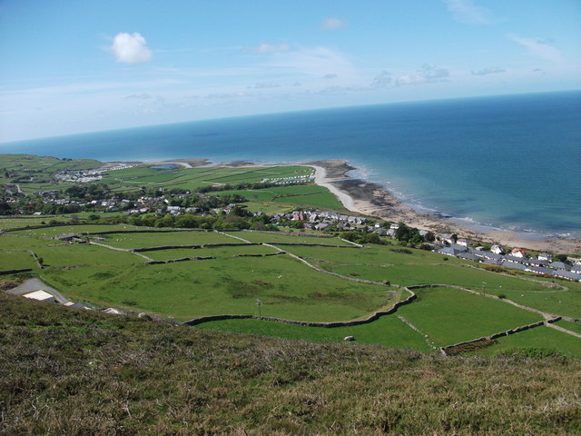
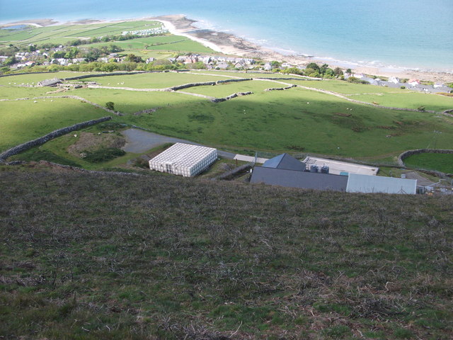
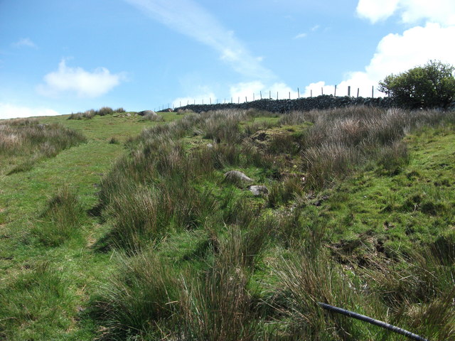
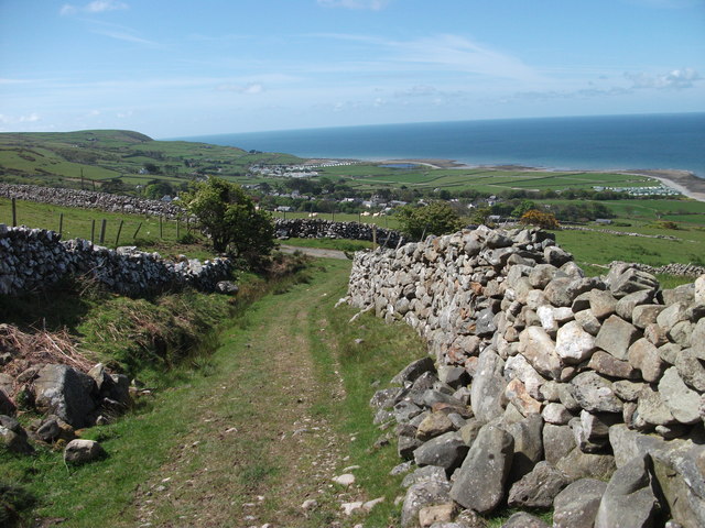
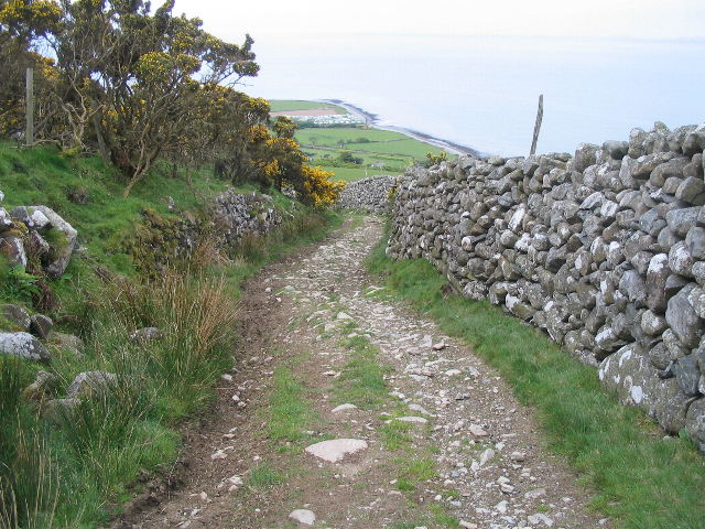
Allt Carn-gadell

Wood, Forest in Merionethshire

Wales

Allt Carn-gadell

Looking down on Gwastadgoed The settlement is spread out along the main road. This picture has two hidden drops one just in the foreground and one just behind the houses.
Looking down on Gwastadgoed Credit: John Haynes

The requested URL returned error: 429 Too Many Requests

If you have any feedback on the listing, please let us know in the comments section below.

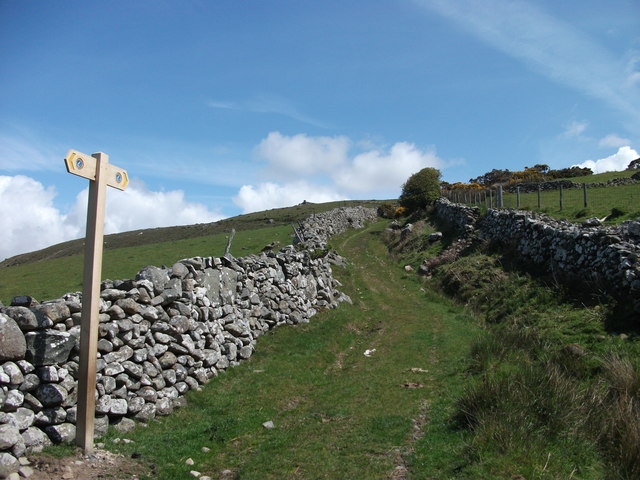
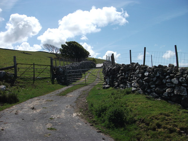
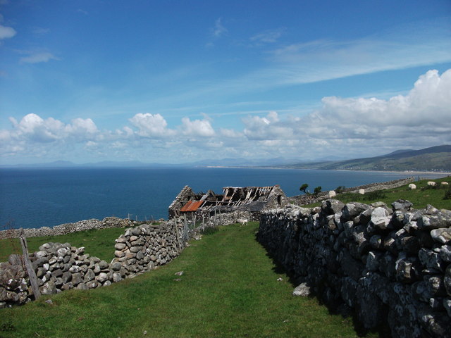
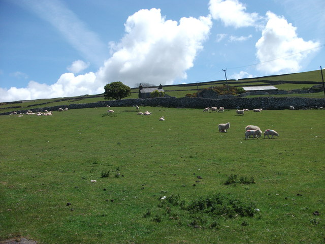
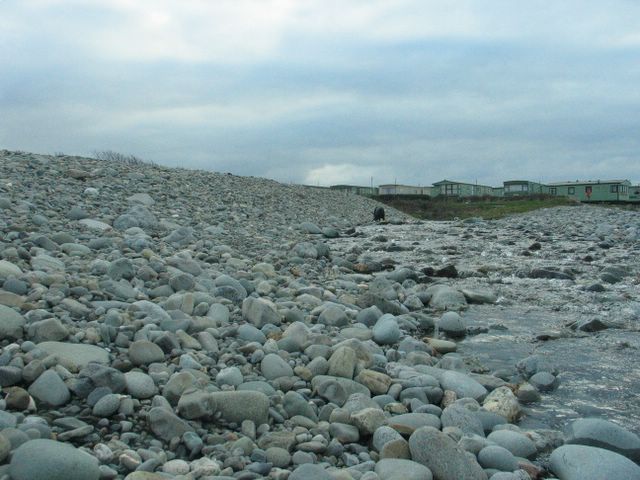
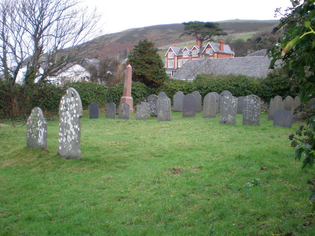
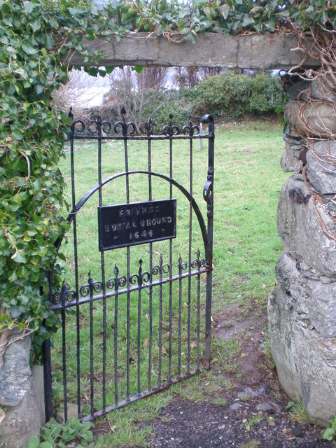
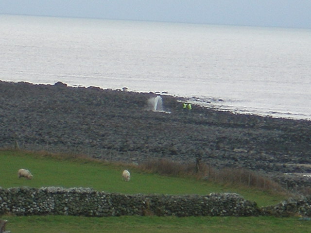
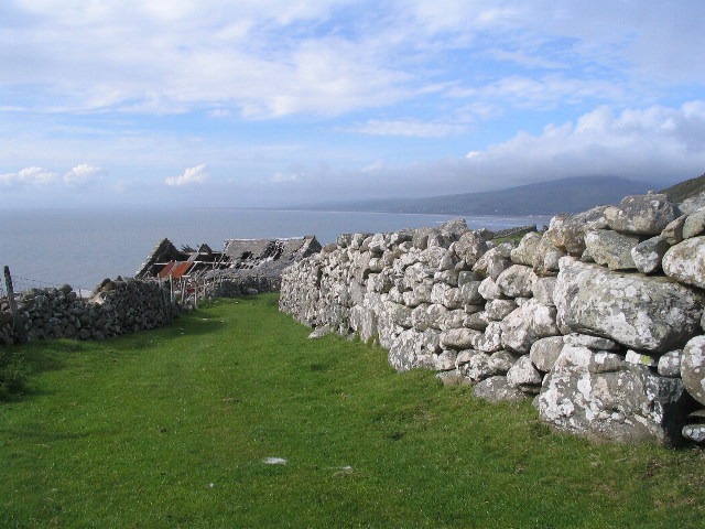
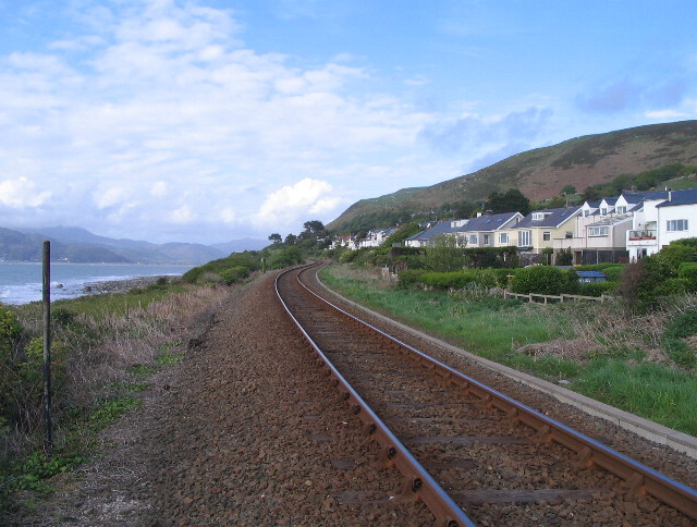
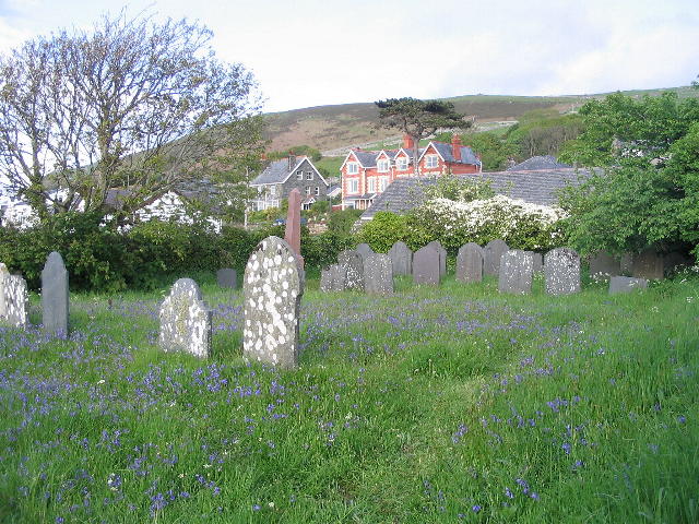
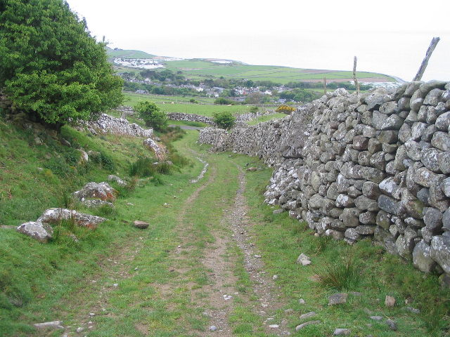
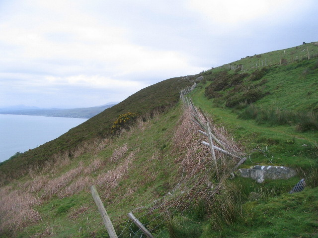
Allt Carn-gadell Images

Images are sourced within 2km of 52.657705/-4.0888728 or Grid Reference SH5808. Thanks to Geograph Open Source API. All images are credited.

Looking down on Gwastadgoed The settlement is spread out along the main road. This picture has two hidden drops one just in the foreground and one just behind the houses.
Looking down on Gwastadgoed
The settlement is spread out along the main road. This picture has two hidden drops one just in the foreground and one just behind the houses.
Reservoir and water works The water is drawn from various wells and then stored ready for use.
<a href="https://www.geograph.org.uk/photo/2996833">SH5910 : Water collection area</a>
Reservoir and water works
The water is drawn from various wells and then stored ready for use. SH5910 : Water collection area
Water collection area A 65mm plastic pipe emerges from the ground and then heads downhill towards the water works.  <a href="https://www.geograph.org.uk/photo/2996823">SH5910 : Reservoir and water works</a>
Water collection area
A 65mm plastic pipe emerges from the ground and then heads downhill towards the water works. SH5910 : Reservoir and water works
Llwybr Arfordir Cymru The Wales Coast Path heading down towards Llwyngwril.
Llwybr Arfordir Cymru
The Wales Coast Path heading down towards Llwyngwril.
Llwybr Arfordir Cymru Signage on The Wales Coastal Path which goes up this ancient road.
Llwybr Arfordir Cymru
Signage on The Wales Coastal Path which goes up this ancient road.
Track to Parth-y-gwyddwch Gated farm track.
Track to Parth-y-gwyddwch
Gated farm track.
Derelict farm building Important enough in the past to have its own stoned dyked lane, now the buildings stone walls are hanging on but the roof has succumbed to wind and rain.
Derelict farm building
Important enough in the past to have its own stoned dyked lane, now the buildings stone walls are hanging on but the roof has succumbed to wind and rain.
Sheep grazing at Parth-y-gwyddwch Looking back up the hill the house and buildings at Parth-y-gwyddwch can just be seen.
Sheep grazing at Parth-y-gwyddwch
Looking back up the hill the house and buildings at Parth-y-gwyddwch can just be seen.
Afon Gwril, just before flows into sea Rocky beach, at the end of the footpath from Llwyngwril. A caravan site is visible in the background.
Afon Gwril, just before flows into sea
Rocky beach, at the end of the footpath from Llwyngwril. A caravan site is visible in the background.
Quaker cemetery Llwyngwril. There is Quaker history in the village, with this Quaker Burial Ground , near the beach, and also a house called Llwyn Du (black wood), which dates from 1137, but is best known as the home of Quakers during their persecution in the 1600s, prior to leaving Wales for America.
Quaker cemetery Llwyngwril.
There is Quaker history in the village, with this Quaker Burial Ground , near the beach, and also a house called Llwyn Du (black wood), which dates from 1137, but is best known as the home of Quakers during their persecution in the 1600s, prior to leaving Wales for America.
Entrance gate to the Quaker's Cemetery. The plate on the gate reads "Friends Burial Ground 1646".
Entrance gate to the Quaker's Cemetery.
The plate on the gate reads "Friends Burial Ground 1646".
Burst Sewer pipe. Two workmen seem a bit bemused as to what to do with this burst sewer pipe below Llwyngwril.
Burst Sewer pipe.
Two workmen seem a bit bemused as to what to do with this burst sewer pipe below Llwyngwril.
Above Llwyngwril A ruin and substantial boulder dry stone wall above Llwyngwril, overlooking Cardigan Bay.
Above Llwyngwril
A ruin and substantial boulder dry stone wall above Llwyngwril, overlooking Cardigan Bay.
Cambrian Coast line at Llwyngwril Looking towards the Mawddach estuary from the pedestrian crossing near the Quaker burial ground. From here the line heads along the cliff below Gallt Ffynnon-yr-hŷdd towards Fairbourne.
Cambrian Coast line at Llwyngwril
Looking towards the Mawddach estuary from the pedestrian crossing near the Quaker burial ground. From here the line heads along the cliff below Gallt Ffynnon-yr-hŷdd towards Fairbourne.
Friends burial ground, Llwyngwril Mynwent Bryn Tallwyn burial ground.  Bluebells and hawthorn in flower. In the 17th century many Quakers (members of the Religious Society of the Friends of Truth) settled here to avoid persecution elsewhere. Owen Humphrey of nearby Llwyn Du donated land for burials around 1664 (although the date wrought in the gate is 1646).  When William Penn established settlements in the New World many migrated there.  By 1876 there were no Quakers living locally and Wesleyans were granted the right to bury their dead here, with the western portion reserved for quaker burials.
Friends burial ground, Llwyngwril
Mynwent Bryn Tallwyn burial ground. Bluebells and hawthorn in flower. In the 17th century many Quakers (members of the Religious Society of the Friends of Truth) settled here to avoid persecution elsewhere. Owen Humphrey of nearby Llwyn Du donated land for burials around 1664 (although the date wrought in the gate is 1646). When William Penn established settlements in the New World many migrated there. By 1876 there were no Quakers living locally and Wesleyans were granted the right to bury their dead here, with the western portion reserved for quaker burials.
Steep track above Llwyngwril Looking down to the shore from a steep section of the green track above Llwyngwril. Taking a photograph is always a useful excuse to stop and catch your breath! The caravan site next to the mouth of the Afon Gwril is visible in the distance.
Steep track above Llwyngwril
Looking down to the shore from a steep section of the green track above Llwyngwril. Taking a photograph is always a useful excuse to stop and catch your breath! The caravan site next to the mouth of the Afon Gwril is visible in the distance.
Green track above Llwyngwril Looking towards Llwyngwril and the shore.
Green track above Llwyngwril
Looking towards Llwyngwril and the shore.
Green track above Llwyngwril At the point where the steep, rocky, walled track turns a corner and becomes a gentler, fenced green track.  Cardigan Bay to the left.
Green track above Llwyngwril
At the point where the steep, rocky, walled track turns a corner and becomes a gentler, fenced green track. Cardigan Bay to the left.
Show me another place!

Allt Carn-gadell is located at Grid Ref: SH5808 (Lat: 52.657705, Lng: -4.0888728)

Unitary Authority: Gwynedd

Police Authority: North Wales

What 3 Words

///really.hothouse.bystander. Near Barmouth, Gwynedd

Nearby Locations

Allt Carn-gadell

Related Wikis

Llwyngwril

Llwyngwril () is a coastal village, in Llangelynnin community, two miles north of the village of Llangelynnin and eleven miles south-west of Dolgellau...

Llwyngwril railway station

Llwyngwril railway station serves the village of Llwyngwril in Gwynedd, Wales. The station is an unstaffed halt on the Cambrian Coast Railway with passenger...

A493 road

The A493 is a road located on the west coast of mid Wales and connects Dolgellau to Machynlleth via the coast, avoiding Corris and Cross Foxes. == Route... ==

Llangelynin railway station

Llangelynin station was a single-platform halt on the Cambrian Line, which served the small village of Llangelynin in Gwynedd, Wales. It was opened in...

Nearby Amenities

Located within 500m of 52.657705,-4.0888728
Railway: crossing
Lat/Long: 52.6598674/-4.094034
Castell Y Caer
Natural: peak
Lat/Long: 52.6606494/-4.0833131
Barrier: cattle_grid
Lat/Long: 52.6571405/-4.0826576
Barrier: cattle_grid
Lat/Long: 52.6572651/-4.0823632
Place: farm
Lat/Long: 52.6548172/-4.0920447
Building: yes
Lat/Long: 52.6566265/-4.0960144
The data included in this document is from www.openstreetmap.org. The data is made available under ODbL.

Have you been to Allt Carn-gadell?

Leave your review of Allt Carn-gadell below (or comments, questions and feedback).