Wenallt
Wood, Forest in Merionethshire
Wales
Wenallt
The requested URL returned error: 429 Too Many Requests
If you have any feedback on the listing, please let us know in the comments section below.
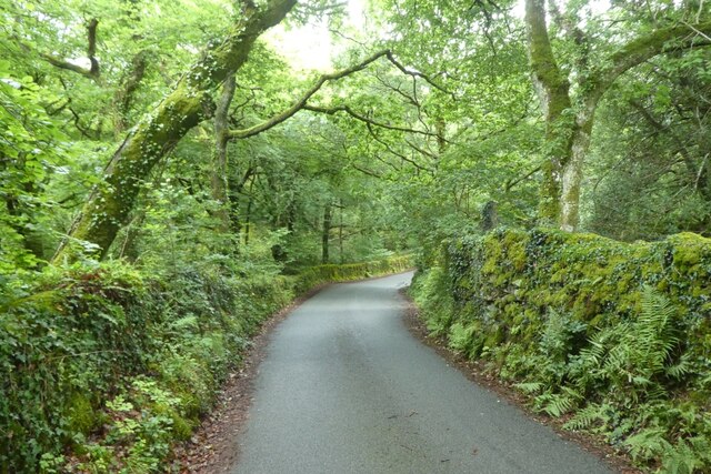
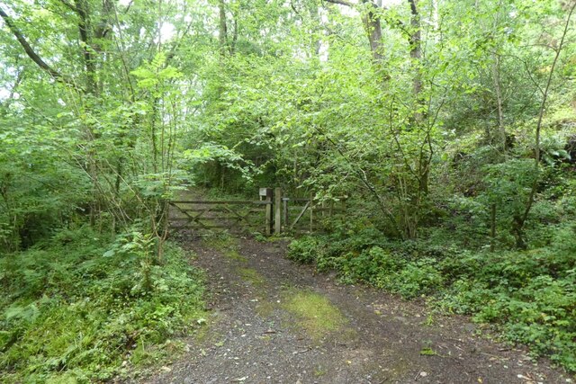
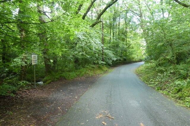
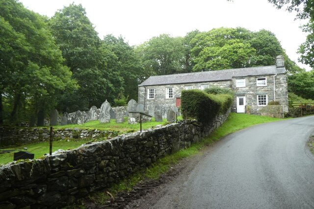
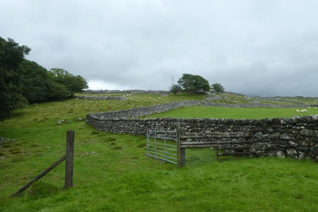
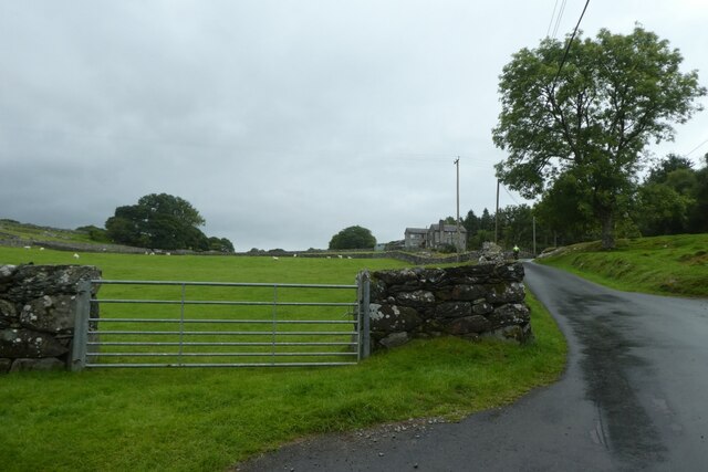
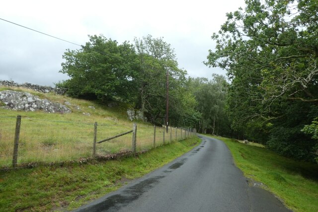
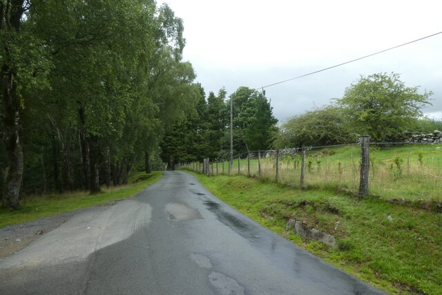
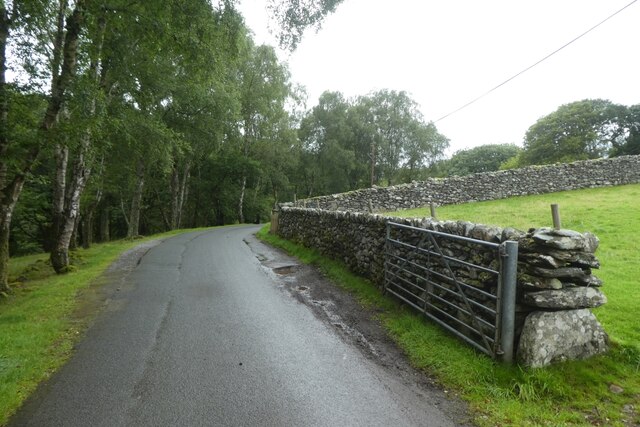
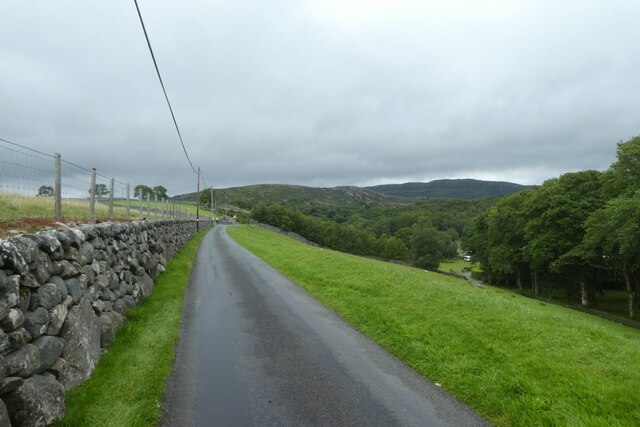
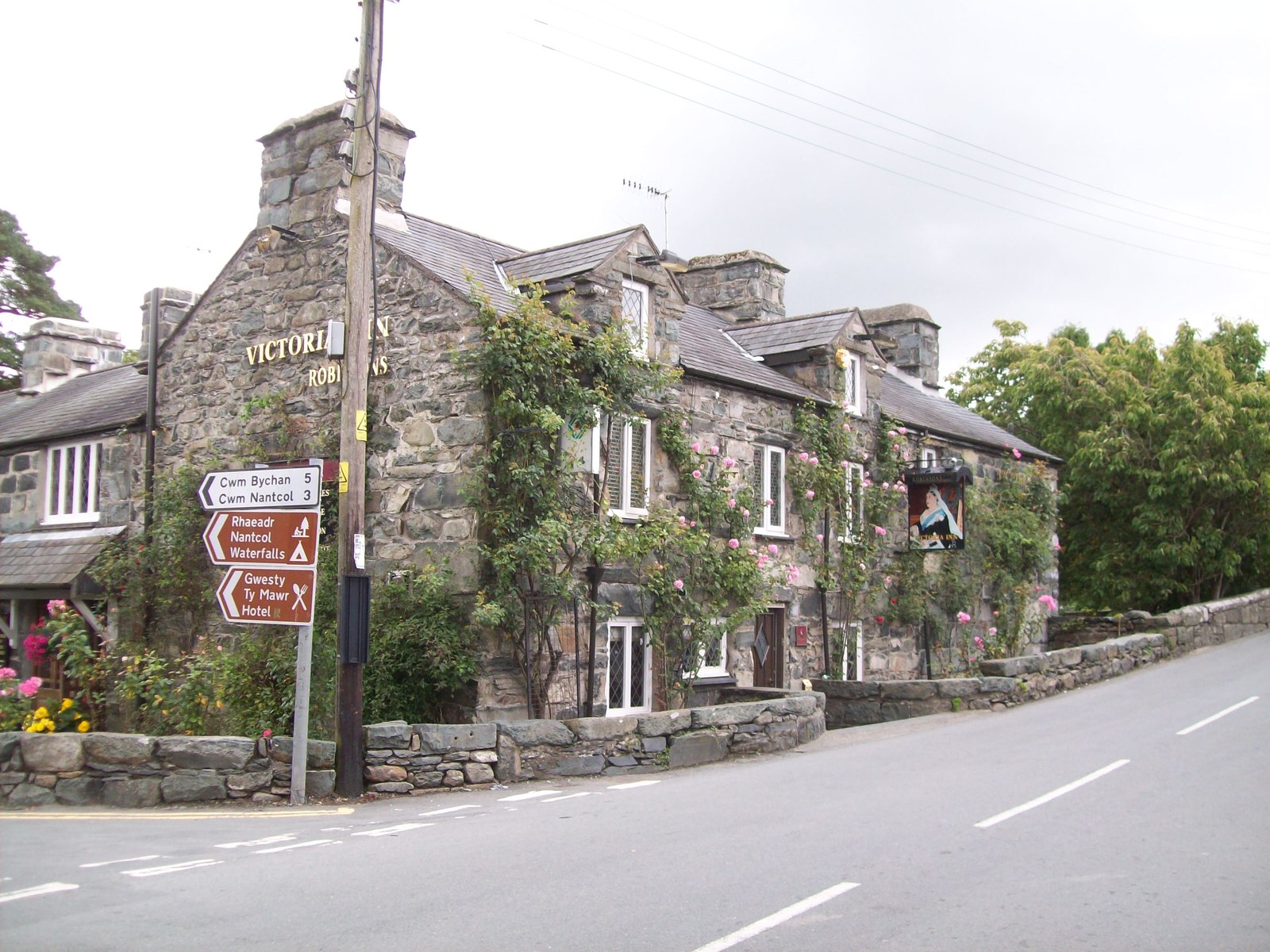
Wenallt Images
Images are sourced within 2km of 52.826109/-4.0970189 or Grid Reference SH5827. Thanks to Geograph Open Source API. All images are credited.


Wenallt is located at Grid Ref: SH5827 (Lat: 52.826109, Lng: -4.0970189)
Unitary Authority: Gwynedd
Police Authority: North Wales
What 3 Words
///permit.rant.offline. Near Llanbedr, Gwynedd
Related Wikis
Llanbedr
Llanbedr () is a village and community 2.8 miles (4.5 km) south of Harlech. Administratively, it lies in the Ardudwy area, formerly Meirionnydd, of the...
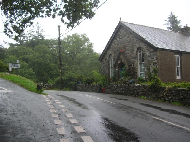
Pentre Gwynfryn
Pentre Gwynfryn is a village in the Ardudwy area of Gwynedd, Wales, about 1 mile (1.6 km) east of Llanbedr. The village is at the confluence of the River...

Pensarn, Gwynedd
Pensarn (or Pen-sarn) is a small village in the Ardudwy area of Gwynedd, Wales. It is situated on the coastal road between Llanbedr and Harlech. There...
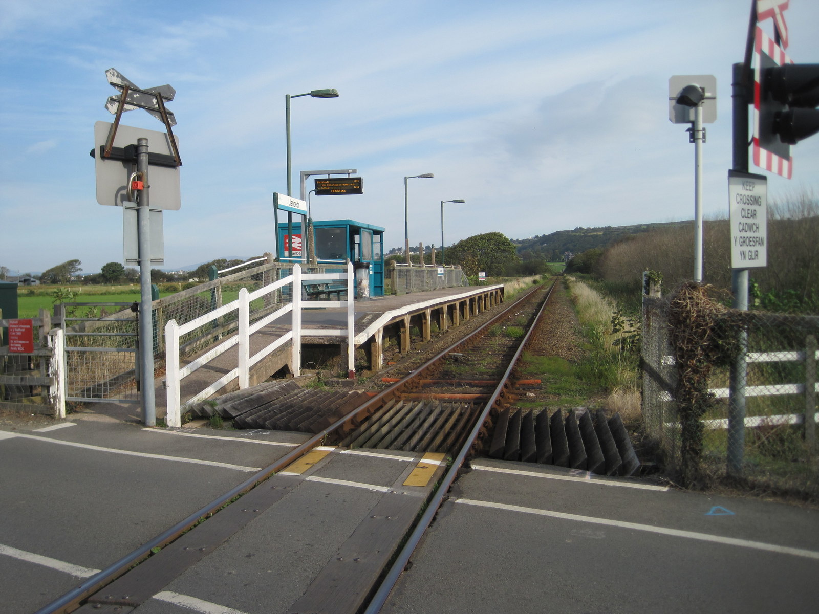
Llanbedr railway station
Llanbedr railway station (formerly Talwrn Bach) serves the village of Llanbedr in Gwynedd, Wales. The station is an unstaffed halt on the Cambrian Coast...
Nearby Amenities
Located within 500m of 52.826109,-4.0970189Have you been to Wenallt?
Leave your review of Wenallt below (or comments, questions and feedback).