Allt Aber-Meurig

Wood, Forest in Cardiganshire

Wales

Allt Aber-Meurig

Ordnance Survey Cut Mark This OS cut mark can be found on the SE angle of the church. It marks a point 148.605m above mean sea level.
Ordnance Survey Cut Mark Credit: Adrian Dust

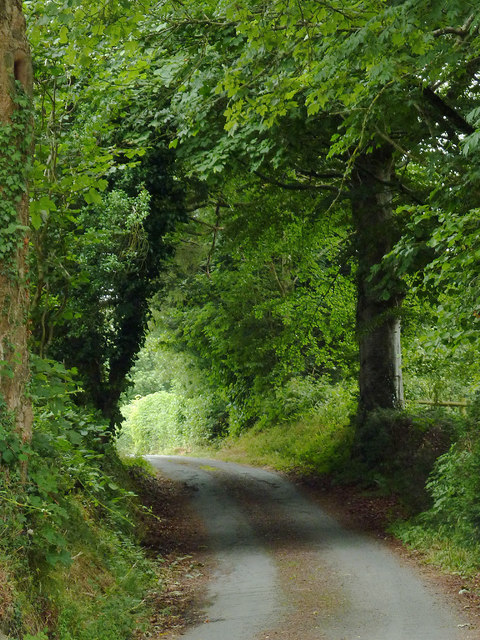
Allt Aber-Meurig is a picturesque wood located in the county of Cardiganshire in Wales. Spanning over a vast area, this forest is renowned for its stunning natural beauty and diverse range of plant and animal species.

The woodland is situated on a steep hillside, providing visitors with breathtaking views of the surrounding countryside. It is characterized by a mix of broadleaf and coniferous trees, including oak, beech, and pine. The dense foliage creates a serene and tranquil atmosphere, making it an ideal destination for nature lovers and hikers.

Allt Aber-Meurig is home to a rich variety of wildlife. Birdwatchers can spot a plethora of species, including buzzards, woodpeckers, and owls. The forest floor is also teeming with life, with small mammals like squirrels, foxes, and badgers scurrying about.

The wood offers several well-maintained walking trails, allowing visitors to explore its beauty at their own pace. These pathways wind through the forest, revealing hidden waterfalls and streams along the way. There are also picnic areas and benches strategically placed for those who wish to take a break and enjoy the peaceful surroundings.

Allt Aber-Meurig is not only a haven for nature enthusiasts but also serves as an important ecological site. The forest plays a crucial role in maintaining biodiversity and preserving the natural habitat of its inhabitants.

Overall, Allt Aber-Meurig is a captivating woodland that showcases the beauty of Cardiganshire's natural landscape. With its stunning scenery, diverse wildlife, and well-maintained trails, it offers a memorable experience for all who visit.

If you have any feedback on the listing, please let us know in the comments section below.

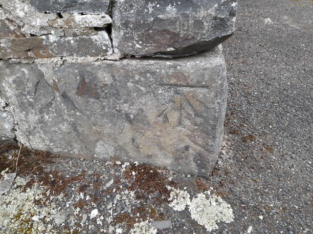
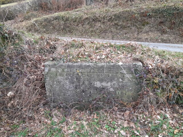
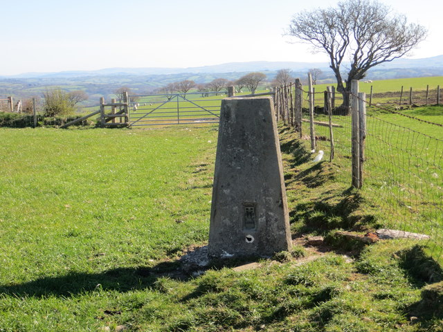
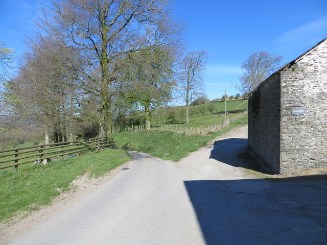
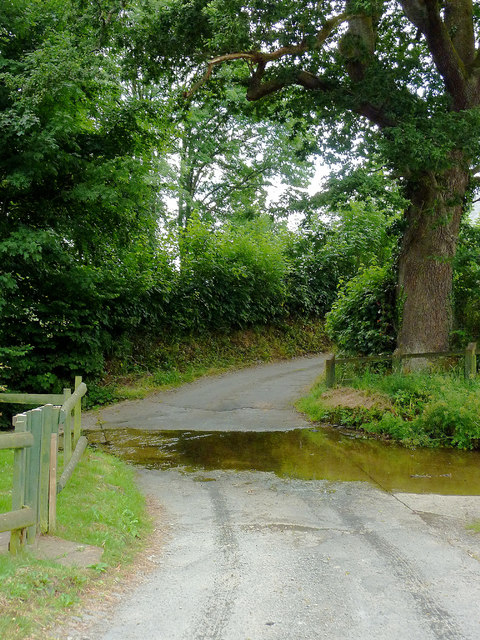
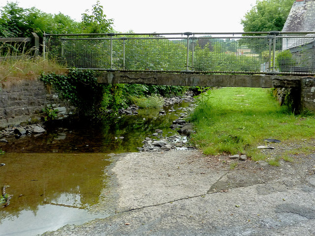
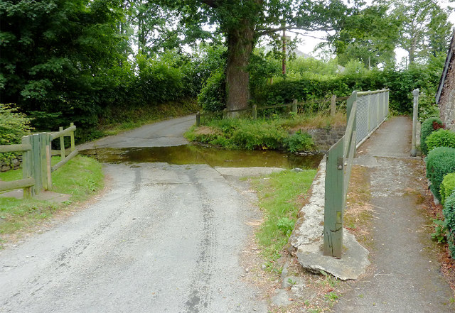
Allt Aber-Meurig Images

Images are sourced within 2km of 52.187125/-4.096787 or Grid Reference SN5656. Thanks to Geograph Open Source API. All images are credited.

Ordnance Survey Cut Mark This OS cut mark can be found on the SE angle of the church. It marks a point 148.605m above mean sea level.
Ordnance Survey Cut Mark
This OS cut mark can be found on the SE angle of the church. It marks a point 148.605m above mean sea level.
Ordnance Survey Rivet This OS rivet can be found on the north parapet of the bridge. It marks a point 109.140m above mean sea level.
Ordnance Survey Rivet
This OS rivet can be found on the north parapet of the bridge. It marks a point 109.140m above mean sea level.
Ordnance Survey Rivet This OS rivet can be found on the culvert SE side of the road. It marks a point 91.074m above mean sea level.
Ordnance Survey Rivet
This OS rivet can be found on the culvert SE side of the road. It marks a point 91.074m above mean sea level.
Ordnance Survey Rivet This OS rivet can be found on the churn stand east side of the road. It marks a point 75.978m above mean sea level. <a title="https://www.geograph.org.uk/photo/7412377" href="https://www.geograph.org.uk/photo/7412377">Link</a>
Ordnance Survey Rivet
This OS rivet can be found on the churn stand east side of the road. It marks a point 75.978m above mean sea level. Link
Churn Stand There is an Ordnance Survey rivet on the top of the stand. <a title="https://www.geograph.org.uk/photo/7412375" href="https://www.geograph.org.uk/photo/7412375">Link</a>
Churn Stand
There is an Ordnance Survey rivet on the top of the stand. Link
Ordnance Survey Cut Mark This OS cut mark can be found on the north parapet of the bridge. It marks a point 77.971m above mean sea level.
Ordnance Survey Cut Mark
This OS cut mark can be found on the north parapet of the bridge. It marks a point 77.971m above mean sea level.
Ordnance Survey Cut Mark This OS cut mark can be found on the gatepost NE side of the road. It marks a point 117.661m above mean sea level.
Ordnance Survey Cut Mark
This OS cut mark can be found on the gatepost NE side of the road. It marks a point 117.661m above mean sea level.
Ordnance Survey Rivet This OS rivet can be found on the churn stand north side of the road. It marks a point 166.716m above mean sea level. <a title="https://www.geograph.org.uk/photo/7412389" href="https://www.geograph.org.uk/photo/7412389">Link</a>
Ordnance Survey Rivet
This OS rivet can be found on the churn stand north side of the road. It marks a point 166.716m above mean sea level. Link
Churn Stand There is an Ordnance Survey rivet on the top of the stand. <a title="https://www.geograph.org.uk/photo/7412387" href="https://www.geograph.org.uk/photo/7412387">Link</a>
Churn Stand
There is an Ordnance Survey rivet on the top of the stand. Link
Ordnance Survey Flush Bracket (12002) This OS Flush Bracket can be found on the roadside barn at Rhiwonnen. It marks a point 201.247m above mean sea level.
Ordnance Survey Flush Bracket (12002)
This OS Flush Bracket can be found on the roadside barn at Rhiwonnen. It marks a point 201.247m above mean sea level.
Field Fence, Gateway and Triangulation Pillar at Gilfachyfran Looking north-eastward.
Field Fence, Gateway and Triangulation Pillar at Gilfachyfran
Looking north-eastward.
Ordnance Survey Flush Bracket 12002 This can be found on the roadside wall of a building at Rhiwonnen.
For more detail see : <span class="nowrap"><a title="http://www.bench-marks.org.uk/bm780" rel="nofollow ugc noopener" href="http://www.bench-marks.org.uk/bm780">Link</a><img style="margin-left:2px;" alt="External link" title="External link - shift click to open in new window" src="https://s1.geograph.org.uk/img/external.png" width="10" height="10"/></span>
Ordnance Survey Flush Bracket 12002
This can be found on the roadside wall of a building at Rhiwonnen. For more detail see : LinkExternal link
Road and Track Junction at Rhiwonnen Looking northward.
Road and Track Junction at Rhiwonnen
Looking northward.
Ford in Trefilan, Ceredigion Looking west towards the junction with the B4337 and Tal-sarn.
Ford in Trefilan, Ceredigion
Looking west towards the junction with the B4337 and Tal-sarn.
Ford and footbridge in Trefilan, Ceredigion Looking north upstream along Nant Rhiwafallen.
Ford and footbridge in Trefilan, Ceredigion
Looking north upstream along Nant Rhiwafallen.
Ford and footbridge in Trefilan, Ceredigion Looking west towards the junction with the B4337 and Tal-sarn.
Ford and footbridge in Trefilan, Ceredigion
Looking west towards the junction with the B4337 and Tal-sarn.
Narrow lane in Trefilan, Ceredigion The lane leads south-south-east from the hamlet.
Narrow lane in Trefilan, Ceredigion
The lane leads south-south-east from the hamlet.
Winllan Coronation Meadow Coronation Meadows are outstanding examples of our remaining meadows, rich in a wealth of flowers and able to be held up as the flagship meadow for the county they are in. They have been used to create and restore meadows through the collection of seed or 'green' hay. Winllan is in private ownership and is part of a Site of Special Scientific Interest. It is the Coronation Meadow for Ceredigion. The permission of the owner was granted for this picture to be taken and the owners open up their garden and meadows under the National Gardens Scheme.
Winllan Coronation Meadow
Coronation Meadows are outstanding examples of our remaining meadows, rich in a wealth of flowers and able to be held up as the flagship meadow for the county they are in. They have been used to create and restore meadows through the collection of seed or 'green' hay. Winllan is in private ownership and is part of a Site of Special Scientific Interest. It is the Coronation Meadow for Ceredigion. The permission of the owner was granted for this picture to be taken and the owners open up their garden and meadows under the National Gardens Scheme.
Show me another place!

Allt Aber-Meurig is located at Grid Ref: SN5656 (Lat: 52.187125, Lng: -4.096787)

Unitary Authority: Ceredigion

Police Authority: Dyfed Powys

What 3 Words

///kilowatt.pave.vowing. Near Llangybi, Ceredigion

Related Wikis

Abermeurig

Abermeurig (also spelt Aber-meurig) is a small village in the county of Ceredigion, Wales.

Talsarn

Talsarn is a hamlet in the community of Nantcwnlle, Ceredigion, Wales. It lies some 16 miles (26 km) south of Aberystwyth, 64 miles (103 km) north-west...

Blaenplwyf Halt railway station

Blaenplwyf Halt railway station was a small railway station in a very rural location, the second stop after the junction for the Aberayron branch of the...

Nantcwnlle

Nantcwnlle is a community in Ceredigion, Wales, including the villages of Talsarn and Llwyn-y-groes. Daniel Rowland (1713–1790), was born in Nantcwnlle...

Talsarn Halt railway station

Talsarn Halt was a small railway station in a very rural location on the Aberayron branch of the Carmarthen to Aberystwyth Line in the Welsh county of...

Cors Nantcwnlle

Cors Nantcwnlle is a Site of Special Scientific Interest near Bwlchllan in Ceredigion, west Wales. Until the early twentieth century the site was renowned...

Felin Fach railway station

Felin Fach or Ystrad was a small railway station in the rural location between Ystrad Aeron and Felinfach, the intermediate station on the Aberayron branch...

Ystrad Aeron

Ystrad Aeron is a small village west of Felinfach on the A482 between Lampeter and Aberaeron, Ceredigion, Wales. It is part of the constituent community...

Nearby Amenities

Located within 500m of 52.187125,-4.096787
Abermeurig
Is In: Ceredigion, Wales, UK
Place: hamlet
Wikidata: Q3401625
Lat/Long: 52.1859119/-4.1023229
Place: farm
Lat/Long: 52.1842955/-4.0965916
The data included in this document is from www.openstreetmap.org. The data is made available under ODbL.

Have you been to Allt Aber-Meurig?

Leave your review of Allt Aber-Meurig below (or comments, questions and feedback).