Allt Cwm-ysgyfarnog

Wood, Forest in Carmarthenshire

Wales

Allt Cwm-ysgyfarnog

A40 approaching Drysylwyn crossroads
A40 approaching Drysylwyn crossroads Credit: Colin Pyle

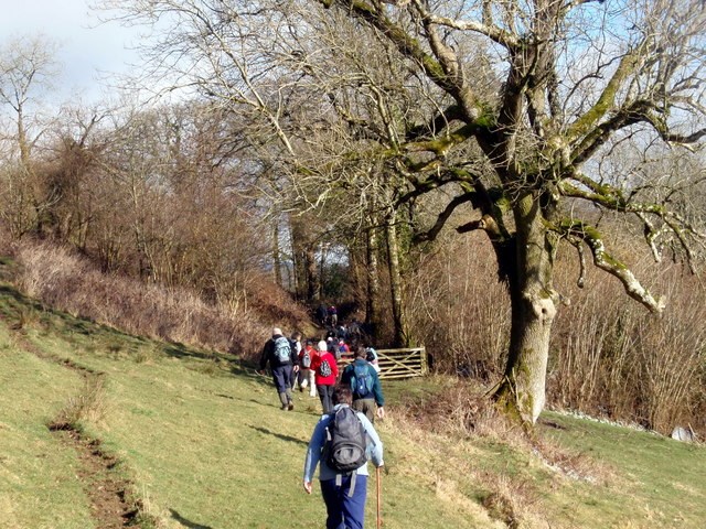
Allt Cwm-ysgyfarnog is a small woodland located in Carmarthenshire, Wales. Situated in the western part of the county, this forested area covers an approximate area of 200 acres. The name "Allt Cwm-ysgyfarnog" translates to "Wood of the Valley of the Hares" in English.

This woodland is characterized by its diverse range of tree species, including oak, ash, beech, and birch, among others. The dense canopy formed by these trees provides a habitat for various wildlife species, making it an important ecological site in the region. The forest floor is covered in a rich carpet of mosses, ferns, and wildflowers, adding to the overall beauty and biodiversity of the area.

Allt Cwm-ysgyfarnog is a popular destination for nature enthusiasts and hikers, offering a network of well-maintained trails that wind through the woodland. These trails provide opportunities for visitors to explore the forest, observe the local flora and fauna, and enjoy the tranquility of the natural surroundings.

Aside from its natural beauty, Allt Cwm-ysgyfarnog also holds historical significance. Within the woodland, there are remnants of ancient settlements and burial sites, providing a glimpse into the past civilizations that once inhabited the area.

Overall, Allt Cwm-ysgyfarnog is a picturesque woodland that offers an escape from the hustle and bustle of modern life. Whether it's for a leisurely walk, wildlife spotting, or simply to connect with nature, this forested area is a must-visit for anyone seeking a peaceful and enriching outdoor experience.

If you have any feedback on the listing, please let us know in the comments section below.

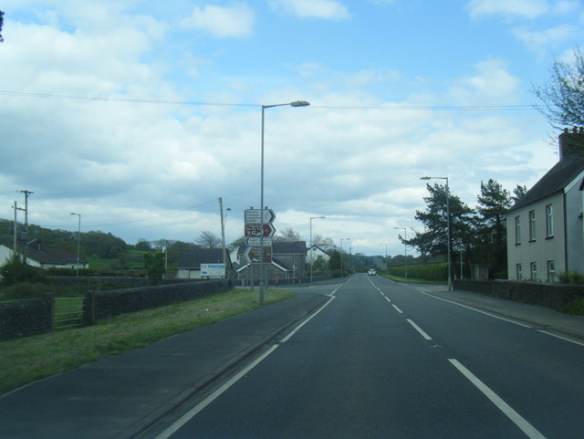
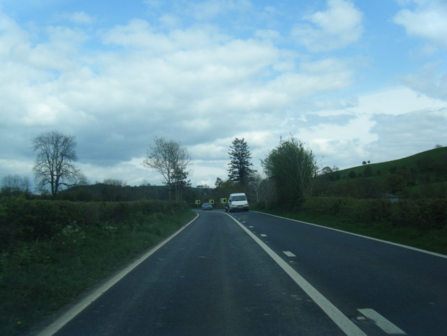
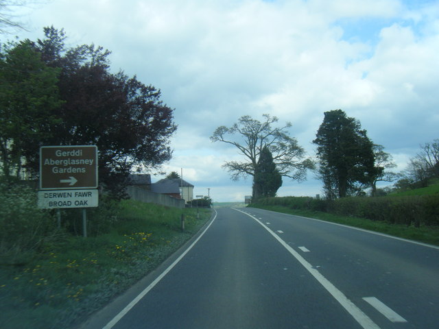
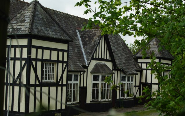
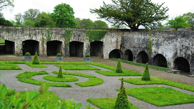
Allt Cwm-ysgyfarnog Images

Images are sourced within 2km of 51.888754/-4.0848861 or Grid Reference SN5623. Thanks to Geograph Open Source API. All images are credited.

A40 approaching Drysylwyn crossroads
A40 eastbound at Lanlash
Broad Oak village boundary sign
Trio of chimneys Building at the rear of this farm, which I think is called Caeaunewydd on the B4297 but these chimneys are quite ornate for such a building.
Trio of chimneys
Building at the rear of this farm, which I think is called Caeaunewydd on the B4297 but these chimneys are quite ornate for such a building.
Ger / Near Ffarm y Grongar Farm Cerddwyr ger Ffarm Grongar yn mynd i gyfeiriad Plasty Aberglasne.

Walkers near Grongar (trans. circular fort) heading in the direction of Aberglasne Mansion.
Ger / Near Ffarm y Grongar Farm
Cerddwyr ger Ffarm Grongar yn mynd i gyfeiriad Plasty Aberglasne. Walkers near Grongar (trans. circular fort) heading in the direction of Aberglasne Mansion.
Aberglasney House  The restored Cloister Garden is in front of the house.
Aberglasney House
The restored Cloister Garden is in front of the house.
Broad Oak A crossroads at a small village, off to the left, on the A40.
Broad Oak
A crossroads at a small village, off to the left, on the A40.
A40 east of Broad Oak Curving past Broad Oak Farm, with woodland on the right on the slopes below Bryn Castell-gwrychion.
A40 east of Broad Oak
Curving past Broad Oak Farm, with woodland on the right on the slopes below Bryn Castell-gwrychion.
The Gatehouse In Aberglasney Gardens
The Gatehouse
In Aberglasney Gardens
Village Hall A glimpse from Aberglasney Gardens
Village Hall
A glimpse from Aberglasney Gardens
Aberglasney House The west front
Aberglasney House
The west front
The Cloisters In Aberglasney Gardens
The Cloisters
In Aberglasney Gardens
Ordnance Survey Cut Mark This OS cut mark can be found on the gatepost of Pant-y-ffynnon. It marks a point 64.002m above mean sea level.
Ordnance Survey Cut Mark
This OS cut mark can be found on the gatepost of Pant-y-ffynnon. It marks a point 64.002m above mean sea level.
St Mary's church at Court Henry near Drislwyn, Carmarthenshire This is the view east from the road.
St Mary's church at Court Henry near Drislwyn, Carmarthenshire
This is the view east from the road.
Aberglasney House, Llangathen Aberglasney House, presently derelict, incorporates portions of a mansion, which was constructed by Bishop Rudd of St. David's (1593-1614)
Aberglasney House, Llangathen
Aberglasney House, presently derelict, incorporates portions of a mansion, which was constructed by Bishop Rudd of St. David's (1593-1614)
Hotel The 'New Cross Hotel'.
Hotel
The 'New Cross Hotel'.
Aberglasney House Viewed from the now restored Cloister Garden, the exterior of the house now looks in good shape. Inside, there is still a lot of restoration work going on.
Aberglasney House
Viewed from the now restored Cloister Garden, the exterior of the house now looks in good shape. Inside, there is still a lot of restoration work going on.
Cloister Garden The cloister was built in about 1600 and is unique in the UK. Built by Bishop Anthony Rudd and his wealthy baronet son.
Cloister Garden
The cloister was built in about 1600 and is unique in the UK. Built by Bishop Anthony Rudd and his wealthy baronet son.
Show me another place!

Allt Cwm-ysgyfarnog is located at Grid Ref: SN5623 (Lat: 51.888754, Lng: -4.0848861)

Unitary Authority: Carmarthenshire

Police Authority: Dyfed Powys

What 3 Words

///shock.knees.attention. Near Llangathen, Carmarthenshire

Related Wikis

Battle of Cadfan

The Battle of Cadfan was fought between English and Welsh forces in 1257. The battle consisted of two military engagements; one at Coed Llathen and the...

Cathinog Hundred

Cathinog (also spelt Catheiniog, Cetheiniog) was a hundred, a geographic division, in the traditional county of Carmarthenshire, Wales. Its name derives...
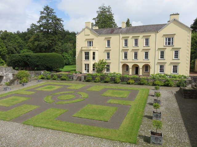
Aberglasney

Aberglasney House and Gardens is a medieval house and gardens set in the Tywi valley in the parish of Llangathen, Carmarthenshire, West Wales. It is owned...

Allt y wern

Allt y Wern is a Site of Special Scientific Interest (SSSI) in the community of Llangathen in Carmarthenshire, Wales. The site is a semi-natural broadleaved...

Nearby Amenities

Located within 500m of 51.888754,-4.0848861
Allt Cwm-Ysgyfarnog
Natural: peak
Lat/Long: 51.8858443/-4.0856478
Place: farm
Lat/Long: 51.8891211/-4.0813953
Direction: 185
Generator Method: photovoltaic
Generator Output Electricity: yes
Generator Solar Modules: 15
Generator Source: solar
Generator Type: solar_photovoltaic_panel
Location: roof
Power: generator
Lat/Long: 51.8917904/-4.0871099
The data included in this document is from www.openstreetmap.org. The data is made available under ODbL.

Have you been to Allt Cwm-ysgyfarnog?

Leave your review of Allt Cwm-ysgyfarnog below (or comments, questions and feedback).