Coed Morfa Lodge
Wood, Forest in Caernarfonshire
Wales
Coed Morfa Lodge

Coed Morfa Lodge is a charming woodland retreat located in the county of Caernarfonshire, Wales. Nestled amidst the picturesque landscape of the region, this lodge offers a tranquil and idyllic setting for those seeking a peaceful escape.
Surrounded by lush woodlands and enchanting forests, Coed Morfa Lodge is a haven for nature lovers and outdoor enthusiasts. The lodge is situated within easy reach of various walking trails, allowing guests to explore the beautiful scenery and immerse themselves in the natural beauty of the area. The surrounding woodlands are home to a diverse range of flora and fauna, creating a rich and vibrant ecosystem.
The lodge itself is a cozy and tastefully decorated retreat. It features comfortable and well-appointed accommodation, with a range of options to suit different needs. From spacious cabins to rustic cottages, guests can choose the perfect setting for their stay. Each unit is equipped with modern amenities, ensuring a comfortable and enjoyable experience.
Coed Morfa Lodge also offers a range of facilities to enhance the guest experience. There is a communal lounge area where visitors can relax and socialize, as well as a restaurant serving delicious local cuisine. Additionally, the lodge provides ample parking space and is easily accessible from the nearby town of Caernarfon.
Whether you are seeking a peaceful retreat or an adventurous getaway, Coed Morfa Lodge is the perfect destination. With its stunning natural surroundings and comfortable accommodation, it offers a truly memorable experience for all who visit.
If you have any feedback on the listing, please let us know in the comments section below.
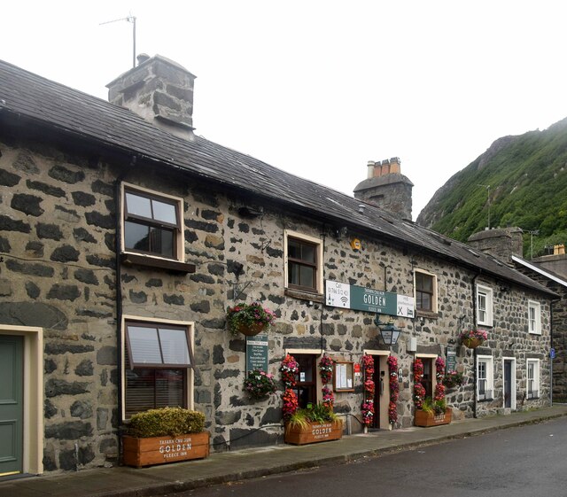
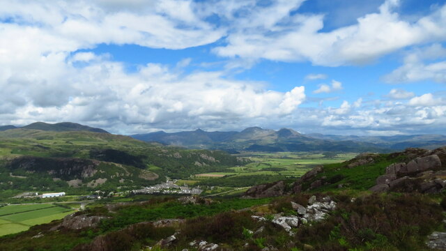
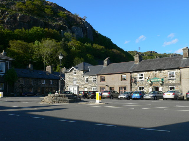
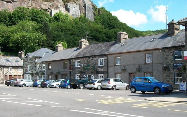
Coed Morfa Lodge Images
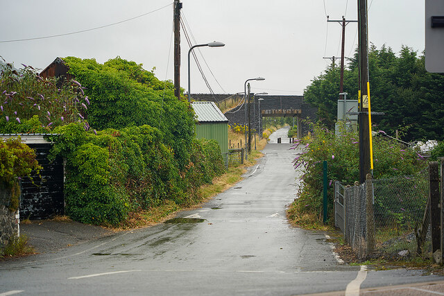
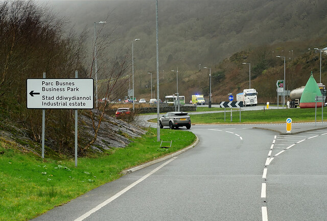
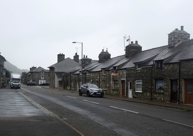
Images are sourced within 2km of 52.925143/-4.137465 or Grid Reference SH5638. Thanks to Geograph Open Source API. All images are credited.
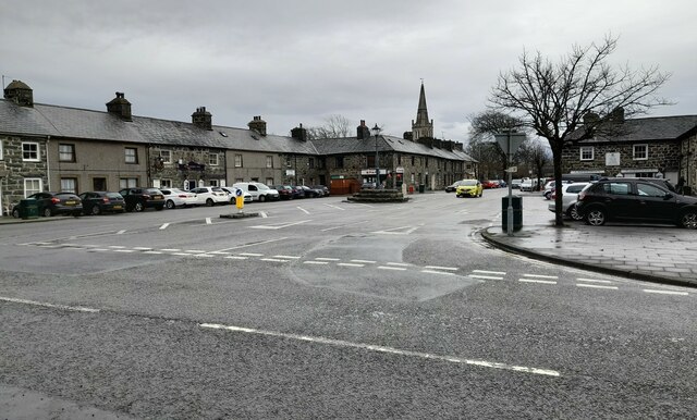


![Centre of Tremadog village At the centre of Tremadog the road widens into a square [Y Sgwar] with the Market Hall dominating the scene. Tremadog was built on reclaimed land by the Madocks family and was intended as a post town on the route from London to Dublin via a new port at Porth Dinllaen - a development that never happened. The Market Hall originally had open arches on the ground floor. These were infilled with ironwork designed by Clough Williams Ellis in the early 20thC, but in the 1970&#039;s there was a further change when the windows were added.](https://s2.geograph.org.uk/geophotos/05/57/25/5572582_e9ab0d3f.jpg)


Coed Morfa Lodge is located at Grid Ref: SH5638 (Lat: 52.925143, Lng: -4.137465)
Unitary Authority: Gwynedd
Police Authority: North Wales
What 3 Words
///royal.headboard.fussed. Near Porthmadog, Gwynedd
Nearby Locations
Related Wikis

Porthmadog
Porthmadog (Welsh: [pɔrθˈmadɔɡ] ), originally Portmadoc until 1974 and locally as "Port", is a coastal town and community in the Eifionydd area of Gwynedd...

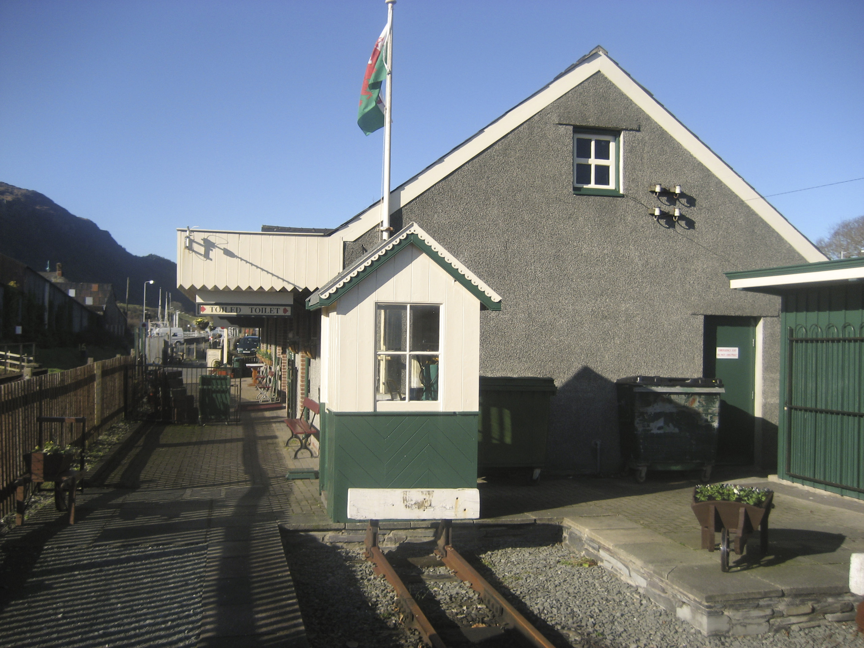
Porthmadog railway station
Porthmadog railway station serves the town of Porthmadog on the Llŷn Peninsula in Gwynedd, Wales. The station is on the Cambrian Coast Railway with passenger...

Portmadoc, Beddgelert and South Snowdon Railway
The Porthmadog, Beddgelert and South Snowdon Railway (PB&SSR) was a 1 ft 11+1⁄2 in (597 mm) narrow gauge railway intended to connect Porthmadog with the...
Porthmadog railway station (Welsh Highland Heritage Railway)
Porthmadog (WHHR) railway station is the southern terminus of the Welsh Highland Heritage Railway and serves the western end of the town of Porthmadog...

Porthmadog Harbour railway station
Porthmadog Harbour railway station (formerly known as Portmadoc Harbour railway station) in Porthmadog (formerly Portmadoc), Gwynedd (formerly Merioneth...

Ffestiniog Railway
The Ffestiniog Railway (Welsh: Rheilffordd Ffestiniog) is a heritage railway based on 1 ft 11+1⁄2 in (597 mm) narrow-gauge, located in Gwynedd, Wales....

Porthmadog cross town link
The Porthmadog cross town link is a section of the 1 ft 11+1⁄2 in (597 mm) narrow gauge Welsh Highland Railway, specifically built to link with the Ffestiniog...

Ysgol Eifionydd
Ysgol Eifionydd is a bilingual co-educational comprehensive school for 11-16 year-old pupils. It is situated in the town of Porthmadog, Gwynedd, Wales...
Related Videos
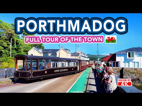
PORTHMADOG | Tour of Porthmadog North Wales
Welcome to Porthmadog in North Wales, situated on the edge of The Snowdonia National Park. A beautiful coastal harbour town, ...
TYDDYN LLWYN holiday park, PORTHMADOG, North Wales
Welcome to my Channel - In this video we arrive at Tyddyn Llwyn holiday park at Porthmadog in North Wales. This video footage ...

Haven Greenacres Holiday Park and Touring Site Porthmadog
Check out my guide to Haven Greenacres Holiday Park in Porthmadog Wales which we stayed on in our VW California ...

Porthmadog Drone Footage (June 2021)
Footage filmed in and around Porthmadog in June 2021. Featuring Fairbourne Railway, Harbour Station, Porthmadog Estuary, ...
Nearby Amenities
Located within 500m of 52.925143,-4.137465Have you been to Coed Morfa Lodge?
Leave your review of Coed Morfa Lodge below (or comments, questions and feedback).