Allt Gelligwenyn

Wood, Forest in Cardiganshire

Wales

Allt Gelligwenyn

Ordnance Survey Rivet Benchmark - Creuddyn Bridge, Milestone Ordnance Survey Benchmark (OSBM) used for levelling height above Ordnance Datum (OD).
Height: 215.0120m OD (Newlyn). Mark verified by the Ordnance Survey in 1973. Description: RIVET MS ABERAYRON 9 7.0M S HEDGE JUNC NE SIDE ROAD . 0.8m above ground. 3rd Order BM.

Context: <a href="https://www.geograph.org.uk/photo/6478193">SN5453 : Creuddyn Bridge, Milestone - Aberayron 9 Lampeter 4</a>
Milestone: <a href="https://www.geograph.org.uk/photo/6478191">SN5453 : Creuddyn Bridge, Milestone - Aberayron 9 Lampeter 4</a>
Ordnance Survey Rivet Benchmark - Creuddyn Bridge, Milestone Credit: N Scott

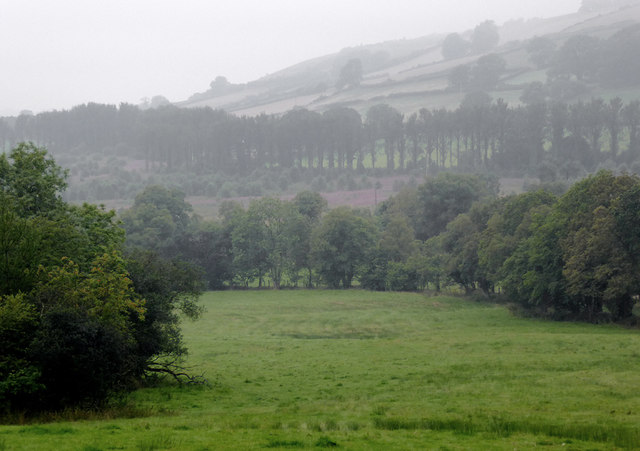
Allt Gelligwenyn is a picturesque wood located in the county of Cardiganshire, Wales. Spread across a vast area, this forest is a haven for nature lovers and outdoor enthusiasts. The wood is situated in a remote location, providing a tranquil and serene atmosphere for visitors to immerse themselves in the beauty of nature.

Allt Gelligwenyn boasts a diverse range of flora and fauna, making it a haven for wildlife. The forest is predominantly composed of native tree species, including oak, beech, and birch. These towering trees provide a lush canopy, creating a cool and shaded environment within the wood. The forest floor is carpeted with a variety of wildflowers and ferns, adding to the enchanting ambiance.

The wood is crisscrossed with a network of well-maintained walking trails, allowing visitors to explore its scenic beauty. These trails cater to all levels of fitness and offer stunning views of the surrounding countryside. Adventurous hikers can venture deeper into the forest, discovering hidden waterfalls and secret streams along the way.

Allt Gelligwenyn is not only a haven for wildlife but also a popular spot for birdwatching. Visitors may spot a variety of bird species, including woodpeckers, owls, and red kites. The forest also provides a habitat for numerous mammals, such as deer, foxes, and badgers.

For those seeking a peaceful retreat in nature, Allt Gelligwenyn is the perfect destination. Its natural beauty and abundant wildlife make it an ideal place to relax, unwind, and reconnect with the great outdoors.

If you have any feedback on the listing, please let us know in the comments section below.

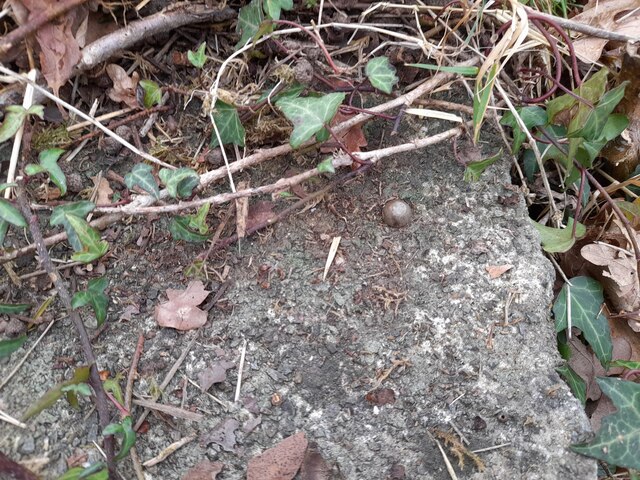
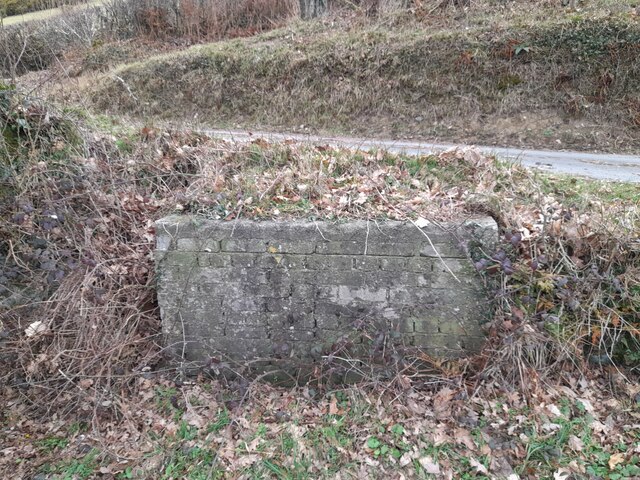
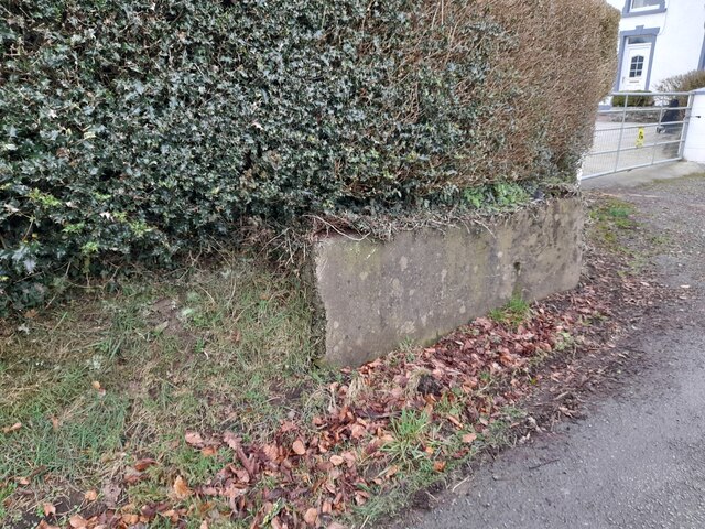
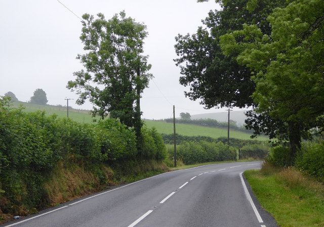
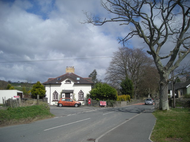
Allt Gelligwenyn Images

Images are sourced within 2km of 52.15714/-4.1006402 or Grid Reference SN5653. Thanks to Geograph Open Source API. All images are credited.

Ordnance Survey Rivet Benchmark - Creuddyn Bridge, Milestone Ordnance Survey Benchmark (OSBM) used for levelling height above Ordnance Datum (OD).
Height: 215.0120m OD (Newlyn). Mark verified by the Ordnance Survey in 1973. Description: RIVET MS ABERAYRON 9 7.0M S HEDGE JUNC NE SIDE ROAD . 0.8m above ground. 3rd Order BM.

Context: <a href="https://www.geograph.org.uk/photo/6478193">SN5453 : Creuddyn Bridge, Milestone - Aberayron 9 Lampeter 4</a>
Milestone: <a href="https://www.geograph.org.uk/photo/6478191">SN5453 : Creuddyn Bridge, Milestone - Aberayron 9 Lampeter 4</a>
Ordnance Survey Rivet Benchmark - Creuddyn Bridge, Milestone
Ordnance Survey Benchmark (OSBM) used for levelling height above Ordnance Datum (OD). Height: 215.0120m OD (Newlyn). Mark verified by the Ordnance Survey in 1973. Description: RIVET MS ABERAYRON 9 7.0M S HEDGE JUNC NE SIDE ROAD . 0.8m above ground. 3rd Order BM. Context: SN5453 : Creuddyn Bridge, Milestone - Aberayron 9 Lampeter 4 Milestone: SN5453 : Creuddyn Bridge, Milestone - Aberayron 9 Lampeter 4
Ordnance Survey Rivet This OS rivet can be found on the churn stand north side of the road. It marks a point 166.716m above mean sea level. <a title="https://www.geograph.org.uk/photo/7412389" href="https://www.geograph.org.uk/photo/7412389">Link</a>
Ordnance Survey Rivet
This OS rivet can be found on the churn stand north side of the road. It marks a point 166.716m above mean sea level. Link
Churn Stand There is an Ordnance Survey rivet on the top of the stand. <a title="https://www.geograph.org.uk/photo/7412387" href="https://www.geograph.org.uk/photo/7412387">Link</a>
Churn Stand
There is an Ordnance Survey rivet on the top of the stand. Link
Ordnance Survey Flush Bracket (12002) This OS Flush Bracket can be found on the roadside barn at Rhiwonnen. It marks a point 201.247m above mean sea level.
Ordnance Survey Flush Bracket (12002)
This OS Flush Bracket can be found on the roadside barn at Rhiwonnen. It marks a point 201.247m above mean sea level.
Ordnance Survey Rivet This OS rivet can be found on the churn stand west side of the road. It marks a point 217.104m above mean sea level. <a title="https://www.geograph.org.uk/photo/7412394" href="https://www.geograph.org.uk/photo/7412394">Link</a>
Ordnance Survey Rivet
This OS rivet can be found on the churn stand west side of the road. It marks a point 217.104m above mean sea level. Link
Churn Stand There is an Ordnance Survey rivet on the top of the stand. <a title="https://www.geograph.org.uk/photo/7412392" href="https://www.geograph.org.uk/photo/7412392">Link</a>
Churn Stand
There is an Ordnance Survey rivet on the top of the stand. Link
Churn Stand There should be an Ordnance Survey rivet on the top of the stand.
Churn Stand
There should be an Ordnance Survey rivet on the top of the stand.
Ordnance Survey Cut Mark This OS cut mark can be found on Bryn Madog Bach. It marks a point 198.940m above mean sea level.
Ordnance Survey Cut Mark
This OS cut mark can be found on Bryn Madog Bach. It marks a point 198.940m above mean sea level.
Ordnance Survey Benchmark - Creuddyn Bridge Ordnance Survey Benchmark (OSBM) used for levelling height above Ordnance Datum (OD).
Height: 185.742m OD (Newlyn). Mark verified by the Ordnance Survey in 1973. Description: PONT CREUDDYN NE PARA SW FACE. 0.4m above ground. 3rd Order BM.

Context: <a href="https://www.geograph.org.uk/photo/7506522">SN5552 : Ordnance Survey Benchmark - Creuddyn Bridge</a>
Ordnance Survey Benchmark - Creuddyn Bridge
Ordnance Survey Benchmark (OSBM) used for levelling height above Ordnance Datum (OD). Height: 185.742m OD (Newlyn). Mark verified by the Ordnance Survey in 1973. Description: PONT CREUDDYN NE PARA SW FACE. 0.4m above ground. 3rd Order BM. Context: SN5552 : Ordnance Survey Benchmark - Creuddyn Bridge
Ordnance Survey Benchmark - Creuddyn Bridge Ordnance Survey Benchmark (OSBM) used for levelling height above Ordnance Datum (OD).
Height: 185.742m OD (Newlyn). Mark verified by the Ordnance Survey in 1973. Description: PONT CREUDDYN NE PARA SW FACE. 0.4m above ground. 3rd Order BM.

Close-up: <a href="https://www.geograph.org.uk/photo/7506513">SN5552 : Ordnance Survey Benchmark - Creuddyn Bridge</a>
Ordnance Survey Benchmark - Creuddyn Bridge
Ordnance Survey Benchmark (OSBM) used for levelling height above Ordnance Datum (OD). Height: 185.742m OD (Newlyn). Mark verified by the Ordnance Survey in 1973. Description: PONT CREUDDYN NE PARA SW FACE. 0.4m above ground. 3rd Order BM. Close-up: SN5552 : Ordnance Survey Benchmark - Creuddyn Bridge
Old Milestone by the A482, Temple Bar, Llanfihangel Ystrad Parish Aberystwyth tombstone by the A482, in parish of Llanfihangel Ystrad (Ceredigion District), Temple Bar, 0.4 km North West of Pont Rhyd-y-gof. An earlier photograph can be found here <a title="https://www.geograph.org.uk/photo/6044882" href="https://www.geograph.org.uk/photo/6044882">Link</a>.

Inscription reads:-
ABERYSTWYTH
20
Lampeter
4

Grade II listed by Cadw.
Reference Number 17450: <span class="nowrap"><a title="https://cadwpublic-api.azurewebsites.net/reports/listedbuilding/FullReport?lang=&id=17450" rel="nofollow ugc noopener" href="https://cadwpublic-api.azurewebsites.net/reports/listedbuilding/FullReport?lang=&id=17450">Link</a><img style="margin-left:2px;" alt="External link" title="External link - shift click to open in new window" src="https://s1.geograph.org.uk/img/external.png" width="10" height="10"/></span>.

Milestone Society National ID: CRD_AYLP20
Old Milestone by the A482, Temple Bar, Llanfihangel Ystrad Parish
Aberystwyth tombstone by the A482, in parish of Llanfihangel Ystrad (Ceredigion District), Temple Bar, 0.4 km North West of Pont Rhyd-y-gof. An earlier photograph can be found here Link. Inscription reads:- ABERYSTWYTH 20 Lampeter 4 Grade II listed by Cadw. Reference Number 17450: LinkExternal link. Milestone Society National ID: CRD_AYLP20
Farmland near Pont Creuddyn, Ceredigion Looking from the A482 across the valley of Nant Creuddyn on a wet morning.
Farmland near Pont Creuddyn, Ceredigion
Looking from the A482 across the valley of Nant Creuddyn on a wet morning.
Pasture near Pont Creuddyn, Ceredigion Looking across fields from the A482, which crosses the image between the hedges below the askyline farm at Rhyd-y-gof-isaf. It was a dull wet morning which improved nearer the coast an hour later.
Pasture near Pont Creuddyn, Ceredigion
Looking across fields from the A482, which crosses the image between the hedges below the askyline farm at Rhyd-y-gof-isaf. It was a dull wet morning which improved nearer the coast an hour later.
Pasture south of Pont Creuddyn, Ceredigion Seen on a wet morning using telephoto assistance from the A482.
Pasture south of Pont Creuddyn, Ceredigion
Seen on a wet morning using telephoto assistance from the A482.
Pasture south of Pont Creuddyn, Ceredigion Seen on a wet morning from the A482.
Pasture south of Pont Creuddyn, Ceredigion
Seen on a wet morning from the A482.
The A482 to Aberaeron, Ceredigion Looking north and approaching Pont Creuddyn.
The A482 to Aberaeron, Ceredigion
Looking north and approaching Pont Creuddyn.
The A482 to Lampeter, Ceredigion Looking south towards Lampeter; the road has come from Aberaeron.
The A482 passes through Lampeter and joins the A40 neat Llandovery.
The A482 to Lampeter, Ceredigion
Looking south towards Lampeter; the road has come from Aberaeron. The A482 passes through Lampeter and joins the A40 neat Llandovery.
Pasture south-east of Pont Creuddyn, Ceredigion Seen from the A482 layby on a dull and drizzly morning.
Pasture south-east of Pont Creuddyn, Ceredigion
Seen from the A482 layby on a dull and drizzly morning.
Show me another place!

Allt Gelligwenyn is located at Grid Ref: SN5653 (Lat: 52.15714, Lng: -4.1006402)

Unitary Authority: Ceredigion

Police Authority: Dyfed Powys

What 3 Words

///apron.width.party. Near Llangybi, Ceredigion

Nearby Locations

Allt Gelligwenyn

Related Wikis

Blaenplwyf Halt railway station

Blaenplwyf Halt railway station was a small railway station in a very rural location, the second stop after the junction for the Aberayron branch of the...

Derry Ormond

Derry Ormond is a farm and a small village in the community of Llangybi, Ceredigion, Wales, which is 60.1 miles (96.7 km) from Cardiff and 173.8 miles...

Silian Halt railway station

The Silian Halt railway station was a small railway station at Silian, the first stop after the junction on the Aberayron branch of the Carmarthen to Aberystwyth...

Talsarn Halt railway station

Talsarn Halt was a small railway station in a very rural location on the Aberayron branch of the Carmarthen to Aberystwyth Line in the Welsh county of...

Silian, Ceredigion

Silian, originally Sulien, is a village in the valley of the River Teifi, Ceredigion, Wales. It is located approximately two miles north-west of Lampeter...

Derry Ormond Tower

Derry Ormond Tower is a Grade II*-listed folly situated above Betws Bledrws, 3 miles (4.8 km) north of Lampeter in the county of Ceredigion, Wales. It...

Falcondale Lake

Falcondale Lake is a man-made lake in the hamlet of Falcondale near Lampeter in Ceredigion It was created as part of the landscaping for Falcondale House...

Betws Bledrws

Betws Bledrws, is a village between Lampeter and Llangybi, Ceredigion, Wales that was also known as Derry Ormond when under the influence of Derry Ormond...

Nearby Amenities

Located within 500m of 52.15714,-4.1006402
Direction: SSW
Generator Method: photovoltaic
Generator Output Electricity: yes
Generator Solar Modules: 8
Generator Source: solar
Generator Type: solar_photovoltaic_panel
Location: roof
Power: generator
Lat/Long: 52.1607186/-4.0963568
Direction: SSW
Generator Method: photovoltaic
Generator Output Electricity: yes
Generator Solar Modules: 6
Generator Source: solar
Generator Type: solar_photovoltaic_panel
Location: roof
Power: generator
Lat/Long: 52.1607466/-4.0963528
The data included in this document is from www.openstreetmap.org. The data is made available under ODbL.

Have you been to Allt Gelligwenyn?

Leave your review of Allt Gelligwenyn below (or comments, questions and feedback).