Coed Gorphwysfa
Wood, Forest in Caernarfonshire
Wales
Coed Gorphwysfa

Coed Gorphwysfa, located in Caernarfonshire, Wales, is a stunning wood or forest that captivates visitors with its natural beauty and rich history. Spread over an area of approximately [X square kilometers], this enchanting woodland is a haven for nature lovers and outdoor enthusiasts.
The forest boasts a diverse range of tree species, including oak, beech, ash, and birch, creating a vibrant and colorful landscape throughout the year. The lush undergrowth is adorned with ferns, wildflowers, and mosses, adding to the picturesque scenery.
Coed Gorphwysfa is not only a feast for the eyes but also provides a habitat for an array of wildlife. Visitors may spot rare and protected species such as red squirrels, badgers, and various bird species, including woodpeckers and owls. The forest's tranquility and abundance of wildlife make it an ideal place for birdwatching and wildlife photography.
In addition to its natural wonders, Coed Gorphwysfa holds historical significance. It is believed that the wood played a crucial role during the medieval period as a source of timber for the construction of nearby castles and buildings. Exploring the forest, visitors may stumble upon remnants of old structures or come across ancient pathways, allowing them to step back in time and imagine the area's past.
Coed Gorphwysfa is a true gem of Caernarfonshire, offering visitors a chance to immerse themselves in nature, witness the wonders of wildlife, and delve into the region's history. Whether it’s a peaceful walk, wildlife spotting, or discovering ancient traces, this woodland provides a memorable and enriching experience for all who venture into its embrace.
If you have any feedback on the listing, please let us know in the comments section below.
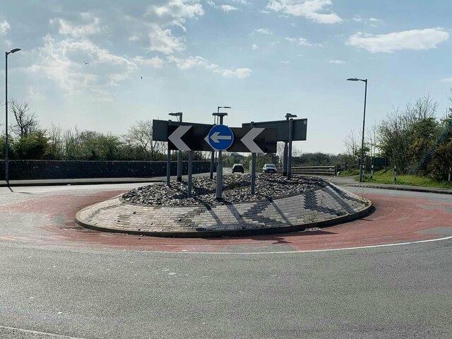
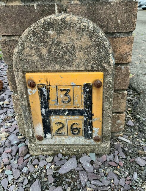
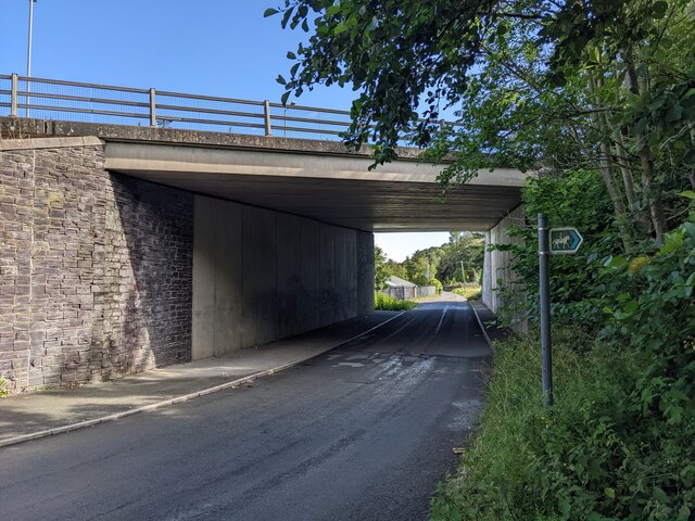
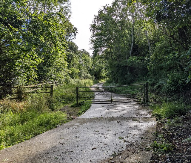
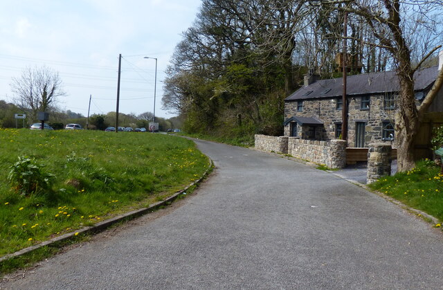
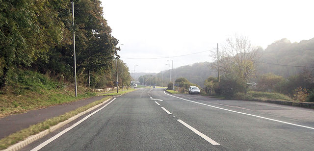
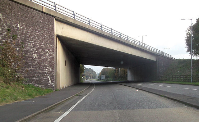
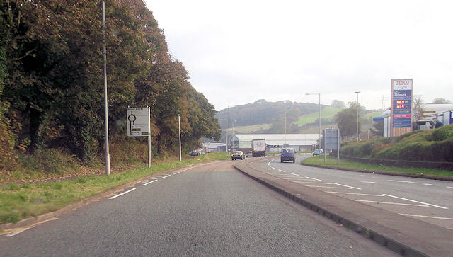
Coed Gorphwysfa Images
Images are sourced within 2km of 53.21906/-4.1559565 or Grid Reference SH5671. Thanks to Geograph Open Source API. All images are credited.


Coed Gorphwysfa is located at Grid Ref: SH5671 (Lat: 53.21906, Lng: -4.1559565)
Unitary Authority: Gwynedd
Police Authority: North Wales
What 3 Words
///extreme.wasps.demand. Near Menai Bridge, Isle of Anglesey
Nearby Locations
Related Wikis

Glyder (electoral ward)
Glyder is an electoral ward in the city of Bangor, Gwynedd, Wales, electing councillors to the city council and Gwynedd Council. == Description == The...

Friars School, Bangor
Friars School is a school in Bangor, Gwynedd, and the second oldest extant school in Wales. == History == === 1557 Establishment === The school was founded...
Menai Bridge railway station
Menai Bridge railway station was situated 2 mi (3.2 km) west of Bangor, Gwynedd in Wales. == History == Opened on 1 October 1858 it was a replacement for...
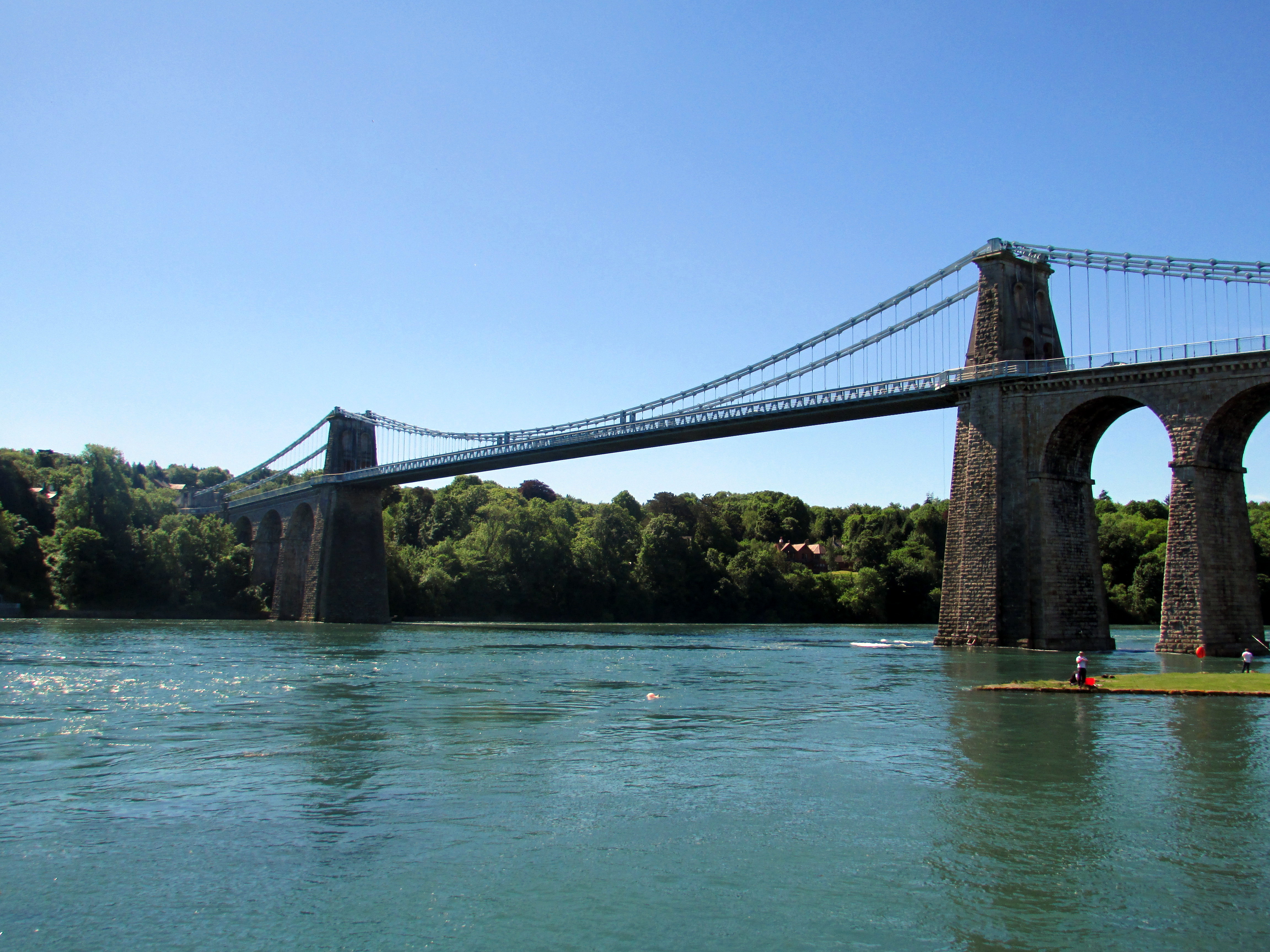
Menai Suspension Bridge
The Menai Suspension Bridge (Welsh: Pont y Borth or Pont Grog y Borth) is a suspension bridge spanning the Menai Strait between the island of Anglesey...
Nearby Amenities
Located within 500m of 53.21906,-4.1559565Have you been to Coed Gorphwysfa?
Leave your review of Coed Gorphwysfa below (or comments, questions and feedback).