Duckpond Covert
Wood, Forest in Anglesey
Wales
Duckpond Covert
The requested URL returned error: 429 Too Many Requests
If you have any feedback on the listing, please let us know in the comments section below.
Duckpond Covert Images
Images are sourced within 2km of 53.261337/-4.1627614 or Grid Reference SH5575. Thanks to Geograph Open Source API. All images are credited.


Duckpond Covert is located at Grid Ref: SH5575 (Lat: 53.261337, Lng: -4.1627614)
Unitary Authority: Isle of Anglesey
Police Authority: North Wales
What 3 Words
///trips.skies.shame. Near Menai Bridge, Isle of Anglesey
Nearby Locations
Related Wikis
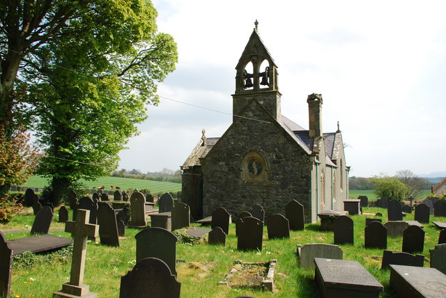
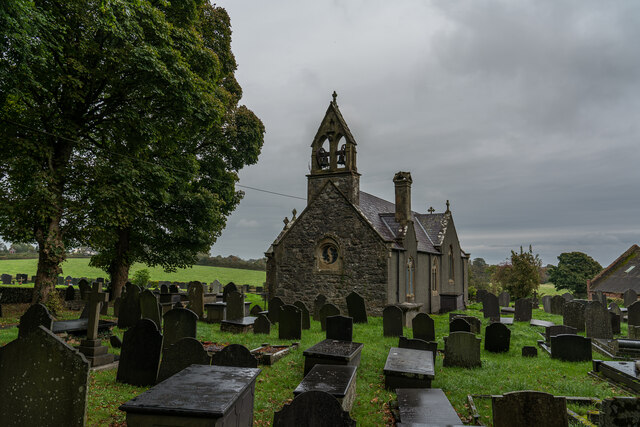
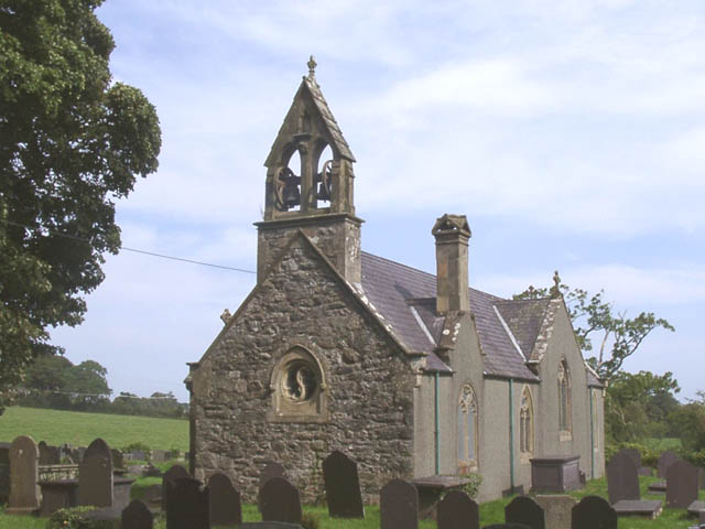
St Sadwrn's Church, Llansadwrn
St Sadwrn's Church, Llansadwrn (; Welsh: [ɬanˈsadʊn]) is a church in the village of Llansadwrn, Anglesey, Wales. It is dedicated to the Welsh saint Sadwrn...
Llansadwrn, Anglesey
Llansadwrn (; Welsh: [ɬanˈsadʊn]; ) is a small village in the community of Cwm Cadnant in south-east Anglesey, in north-west Wales. It lies between Menai...

Cwm Cadnant
Cwm Cadnant is a community and former electoral ward in Anglesey, north Wales. Named after the local river, Afon Cadnant, which flows through it, the community...

Hen Bentref Llandegfan
Hen Bentref Llandegfan is a village in the community of Cwm Cadnant, Anglesey, Wales, which is 128.9 miles (207.5 km) from Cardiff and 207.8 miles (334...
Nearby Amenities
Located within 500m of 53.261337,-4.1627614Have you been to Duckpond Covert?
Leave your review of Duckpond Covert below (or comments, questions and feedback).