Allt Cwm-cafn

Wood, Forest in Cardiganshire

Wales

Allt Cwm-cafn

Ordnance Survey Rivet This OS rivet can be found on the culvert SE side of the road. It marks a point 91.074m above mean sea level.
Ordnance Survey Rivet Credit: Adrian Dust

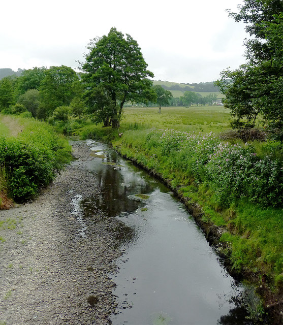
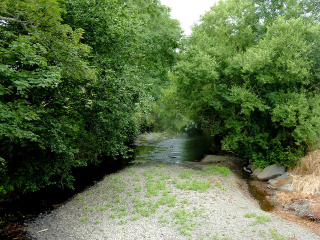
Allt Cwm-cafn is a picturesque woodland located in Cardiganshire, Wales. Situated in the county's beautiful countryside, this wood is a haven for nature lovers and outdoor enthusiasts alike. The name "Allt Cwm-cafn" translates to "wood in the valley of the crows," reflecting the area's rich wildlife and natural beauty.

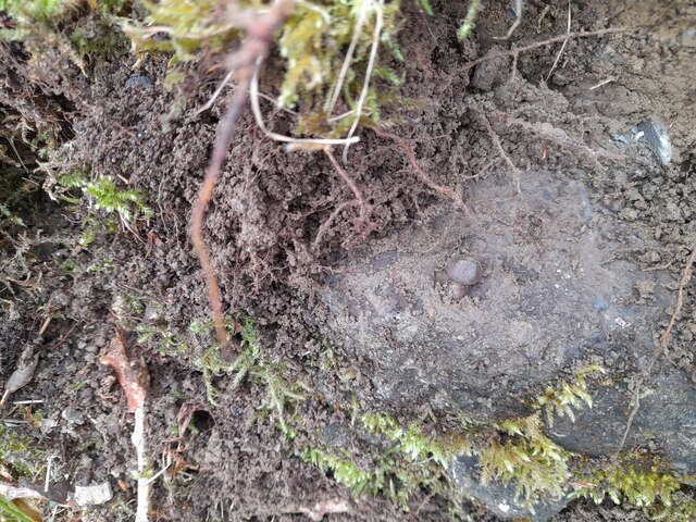
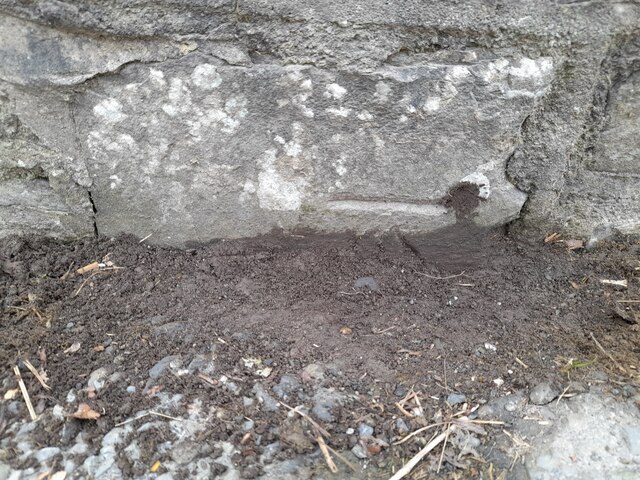
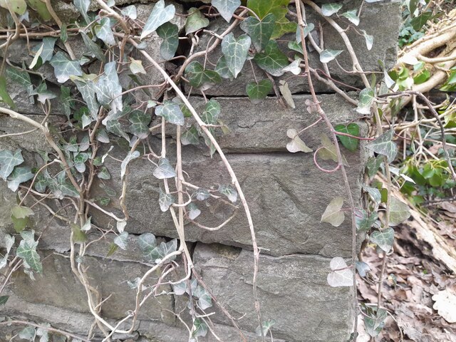
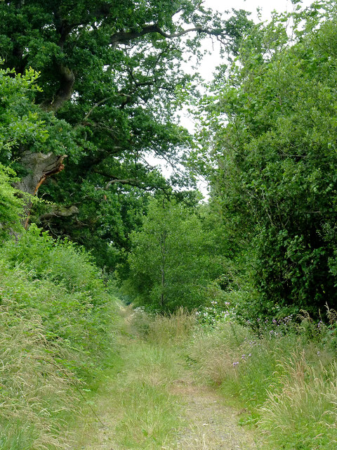
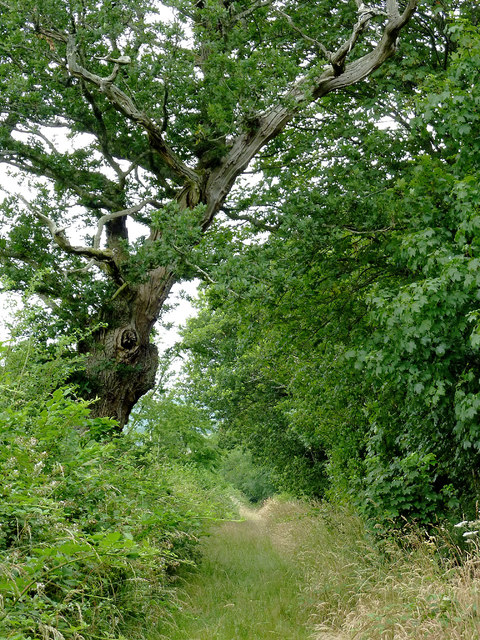
Covering an area of approximately 100 acres, Allt Cwm-cafn is a diverse and thriving forest. The wood is primarily composed of deciduous trees, including oak, beech, and birch, with their vibrant foliage creating a stunning display throughout the seasons. The forest floor is carpeted with a variety of wildflowers, adding bursts of color to the landscape.

The woodland is crisscrossed by a network of well-maintained trails, making it easily accessible for visitors. These trails offer opportunities for leisurely walks, hikes, and even cycling. Exploring Allt Cwm-cafn provides a chance to immerse oneself in the tranquility of nature while enjoying breathtaking views of the surrounding valleys and hills.

The wood is also home to a diverse range of wildlife, including red kites, foxes, badgers, and various species of birds. Birdwatchers will be delighted by the numerous avian species that inhabit the area.

Allt Cwm-cafn is a popular destination for nature enthusiasts and provides a peaceful retreat from the hustle and bustle of everyday life. Whether it's a leisurely stroll, a family picnic, or an opportunity to observe and appreciate nature, this charming woodland offers something for everyone.

If you have any feedback on the listing, please let us know in the comments section below.

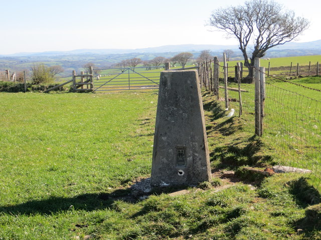
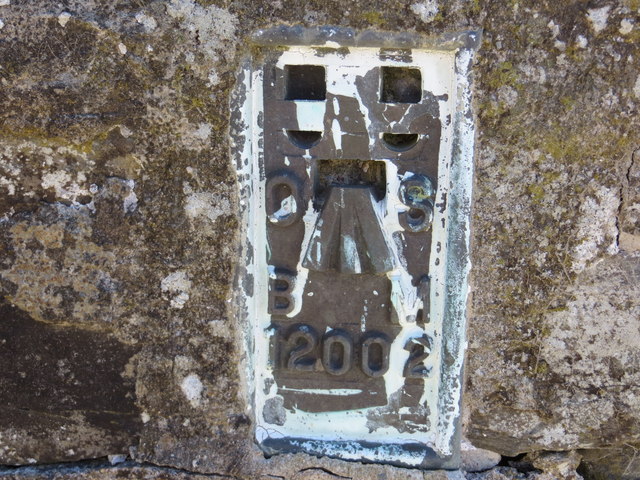
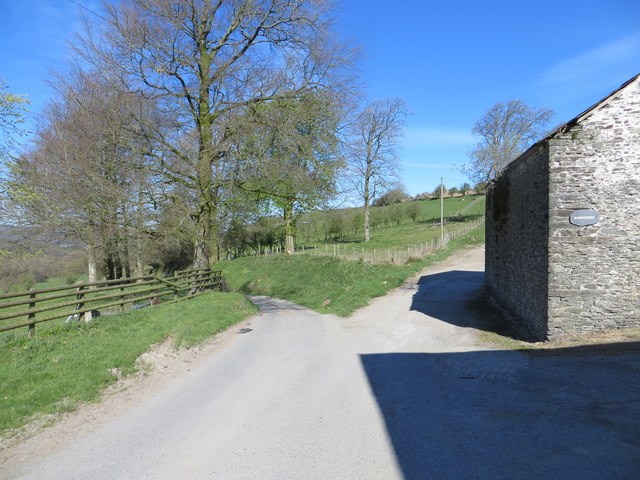
Allt Cwm-cafn Images

Images are sourced within 2km of 52.175423/-4.1151183 or Grid Reference SN5555. Thanks to Geograph Open Source API. All images are credited.

Ordnance Survey Rivet This OS rivet can be found on the culvert SE side of the road. It marks a point 91.074m above mean sea level.
Ordnance Survey Rivet
This OS rivet can be found on the culvert SE side of the road. It marks a point 91.074m above mean sea level.
Ordnance Survey Rivet This OS rivet can be found on the churn stand east side of the road. It marks a point 75.978m above mean sea level. <a title="https://www.geograph.org.uk/photo/7412377" href="https://www.geograph.org.uk/photo/7412377">Link</a>
Ordnance Survey Rivet
This OS rivet can be found on the churn stand east side of the road. It marks a point 75.978m above mean sea level. Link
Churn Stand There is an Ordnance Survey rivet on the top of the stand. <a title="https://www.geograph.org.uk/photo/7412375" href="https://www.geograph.org.uk/photo/7412375">Link</a>
Churn Stand
There is an Ordnance Survey rivet on the top of the stand. Link
Ordnance Survey Cut Mark This OS cut mark can be found on the north parapet of the bridge. It marks a point 77.971m above mean sea level.
Ordnance Survey Cut Mark
This OS cut mark can be found on the north parapet of the bridge. It marks a point 77.971m above mean sea level.
Ordnance Survey Cut Mark This OS cut mark can be found on the north parapet of the bridge. It marks a point 81.174m above mean sea level.
Ordnance Survey Cut Mark
This OS cut mark can be found on the north parapet of the bridge. It marks a point 81.174m above mean sea level.
Ordnance Survey Cut Mark This OS cut mark can be found on the gatepost NE side of the road. It marks a point 117.661m above mean sea level.
Ordnance Survey Cut Mark
This OS cut mark can be found on the gatepost NE side of the road. It marks a point 117.661m above mean sea level.
Ordnance Survey Rivet This OS rivet can be found on the churn stand north side of the road. It marks a point 166.716m above mean sea level. <a title="https://www.geograph.org.uk/photo/7412389" href="https://www.geograph.org.uk/photo/7412389">Link</a>
Ordnance Survey Rivet
This OS rivet can be found on the churn stand north side of the road. It marks a point 166.716m above mean sea level. Link
Churn Stand There is an Ordnance Survey rivet on the top of the stand. <a title="https://www.geograph.org.uk/photo/7412387" href="https://www.geograph.org.uk/photo/7412387">Link</a>
Churn Stand
There is an Ordnance Survey rivet on the top of the stand. Link
Ordnance Survey Flush Bracket (12002) This OS Flush Bracket can be found on the roadside barn at Rhiwonnen. It marks a point 201.247m above mean sea level.
Ordnance Survey Flush Bracket (12002)
This OS Flush Bracket can be found on the roadside barn at Rhiwonnen. It marks a point 201.247m above mean sea level.
House at a junction, Temple Bar The road left is unclassified and goes to Talsarn
House at a junction, Temple Bar
The road left is unclassified and goes to Talsarn
Field Fence, Gateway and Triangulation Pillar at Gilfachyfran Looking north-eastward.
Field Fence, Gateway and Triangulation Pillar at Gilfachyfran
Looking north-eastward.
Ordnance Survey Flush Bracket 12002 This can be found on the roadside wall of a building at Rhiwonnen.
For more detail see : <span class="nowrap"><a title="http://www.bench-marks.org.uk/bm780" rel="nofollow ugc noopener" href="http://www.bench-marks.org.uk/bm780">Link</a><img style="margin-left:2px;" alt="External link" title="External link - shift click to open in new window" src="https://s1.geograph.org.uk/img/external.png" width="10" height="10"/></span>
Ordnance Survey Flush Bracket 12002
This can be found on the roadside wall of a building at Rhiwonnen. For more detail see : LinkExternal link
Road and Track Junction at Rhiwonnen Looking northward.
Road and Track Junction at Rhiwonnen
Looking northward.
Ordnance Survey Flush Bracket 12003 This can be found on the wall of the chapel at Ty'n-y-gwndwn.
For more detail see : <span class="nowrap"><a title="http://www.bench-marks.org.uk/bm22712" rel="nofollow ugc noopener" href="http://www.bench-marks.org.uk/bm22712">Link</a><img style="margin-left:2px;" alt="External link" title="External link - shift click to open in new window" src="https://s1.geograph.org.uk/img/external.png" width="10" height="10"/></span>
Ordnance Survey Flush Bracket 12003
This can be found on the wall of the chapel at Ty'n-y-gwndwn. For more detail see : LinkExternal link
Footpath near Tal-sarn in Ceredigion The public footpath runs alongside the Afon Aeron between Talsarn and Brynog. The river is off to the right.
Footpath near Tal-sarn in Ceredigion
The public footpath runs alongside the Afon Aeron between Talsarn and Brynog. The river is off to the right.
Footpath near Tal-sarn in Ceredigion The public footpath runs alongside the Afon Aeron between Talsarn and Brynog. The river is off to the right.
Footpath near Tal-sarn in Ceredigion
The public footpath runs alongside the Afon Aeron between Talsarn and Brynog. The river is off to the right.
Afon Aeron south of Tal-sarn in Ceredigion This is the Afon Aeron south-east of the bridge near Tal-sarn
Afon Aeron south of Tal-sarn in Ceredigion
This is the Afon Aeron south-east of the bridge near Tal-sarn
The Afon Aeron near Tal-sarn in Ceredigion This shows the Afon Aeron, looking north-west from Pont Tal-sarn.
The Afon Aeron near Tal-sarn in Ceredigion
This shows the Afon Aeron, looking north-west from Pont Tal-sarn.
Show me another place!

Allt Cwm-cafn is located at Grid Ref: SN5555 (Lat: 52.175423, Lng: -4.1151183)

Unitary Authority: Ceredigion

Police Authority: Dyfed Powys

What 3 Words

///waltzed.removable.owner. Near Llangybi, Ceredigion

Related Wikis

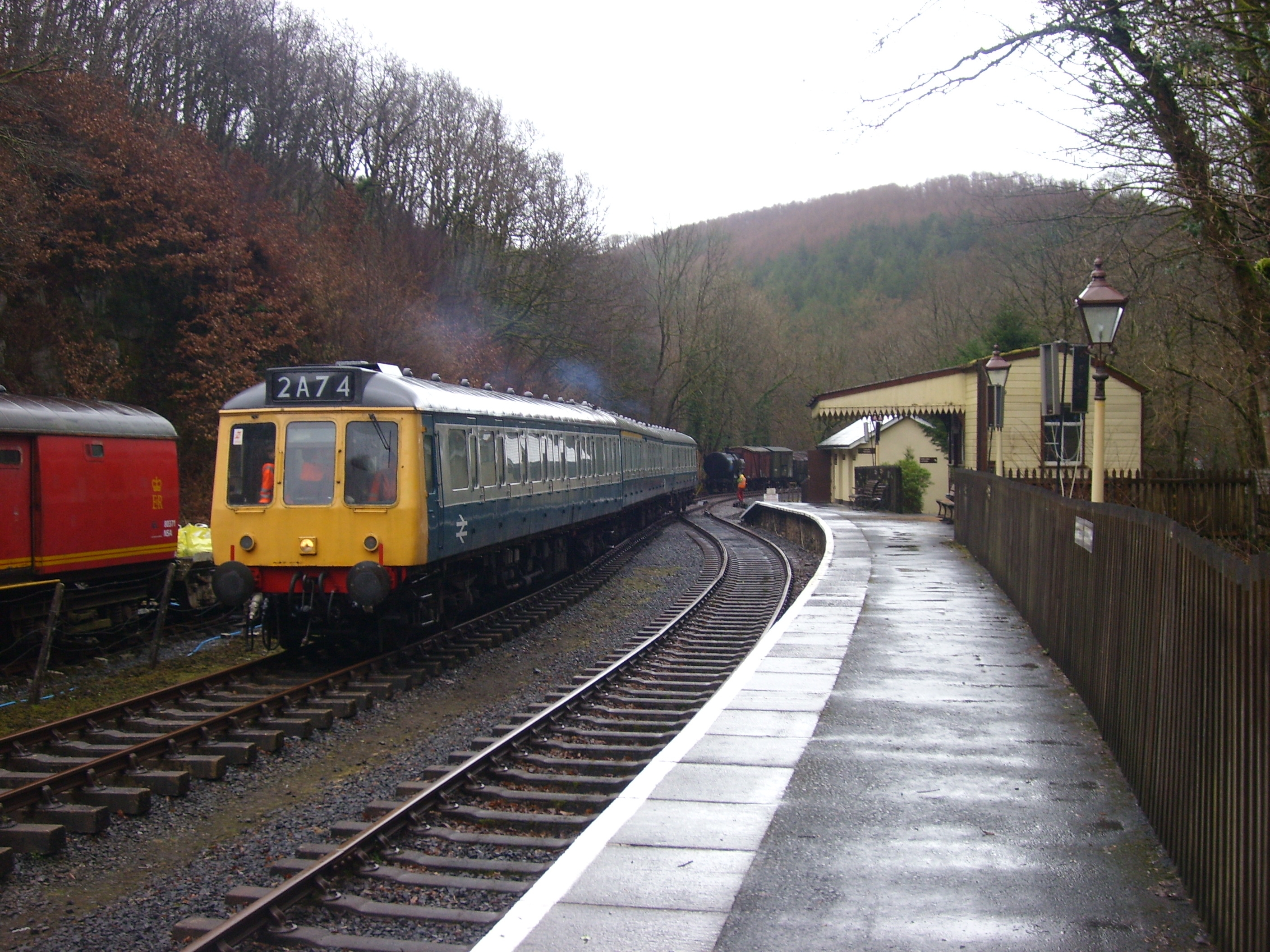
Talsarn Halt railway station

Talsarn Halt was a small railway station in a very rural location on the Aberayron branch of the Carmarthen to Aberystwyth Line in the Welsh county of...

Talsarn

Talsarn is a hamlet in the community of Nantcwnlle, Ceredigion, Wales. It lies some 16 miles (26 km) south of Aberystwyth, 64 miles (103 km) north-west...

Blaenplwyf Halt railway station

Blaenplwyf Halt railway station was a small railway station in a very rural location, the second stop after the junction for the Aberayron branch of the...

Abermeurig

Abermeurig (also spelt Aber-meurig) is a small village in the county of Ceredigion, Wales.

Ffynnon-oer

Ffynnon-oer is a hamlet in the community of Llanfihangel Ystrad, Ceredigion, Wales, which is 62.6 miles (100.8 km) from Cardiff and 177.4 miles (285.6...

Felin Fach railway station

Felin Fach or Ystrad was a small railway station in the rural location between Ystrad Aeron and Felinfach, the intermediate station on the Aberayron branch...

Ystrad Aeron

Ystrad Aeron is a small village west of Felinfach on the A482 between Lampeter and Aberaeron, Ceredigion, Wales. It is part of the constituent community...

Llanfihangel Ystrad

Llanfihangel Ystrad (English "Vale of St Michael") is a constituent community in Ceredigion, Wales. It is named after the principal place of worship, St...

Nearby Amenities

Located within 500m of 52.175423,-4.1151183
Direction: 165
Generator Method: photovoltaic
Generator Output Electricity: yes
Generator Solar Modules: 14
Generator Source: solar
Generator Type: solar_photovoltaic_panel
Location: roof
Power: generator
Lat/Long: 52.1716896/-4.1145998
The data included in this document is from www.openstreetmap.org. The data is made available under ODbL.

Have you been to Allt Cwm-cafn?

Leave your review of Allt Cwm-cafn below (or comments, questions and feedback).