Coed Plas-y-nant
Wood, Forest in Caernarfonshire
Wales
Coed Plas-y-nant

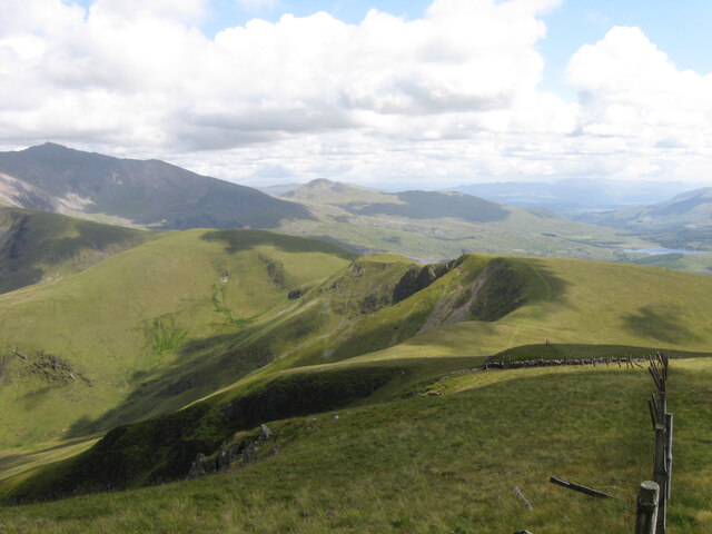
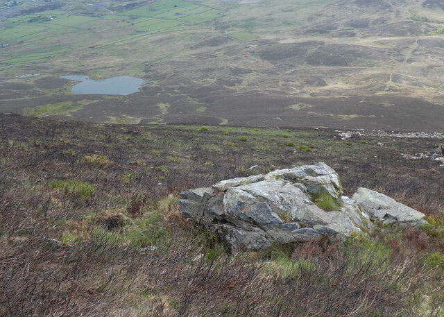
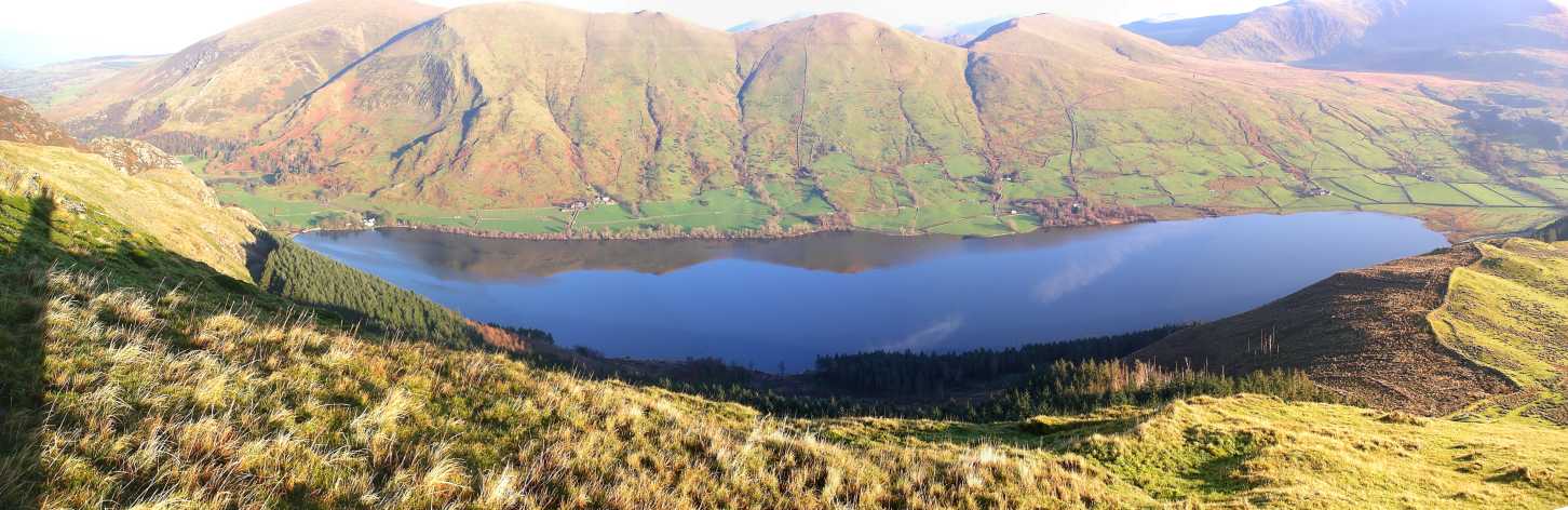
Coed Plas-y-nant is a picturesque woodland located in Caernarfonshire, Wales. Situated near the village of Betws Garmon, this enchanting forest spans approximately 1,500 acres, making it a popular destination for nature lovers and outdoor enthusiasts.
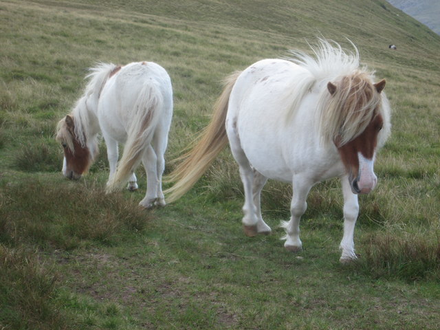
The woodland is characterized by its diverse range of tree species, including oak, beech, and conifers, which create a lush and vibrant ecosystem. The forest is home to a wide variety of flora and fauna, with notable species such as red squirrels, badgers, and various species of birds.
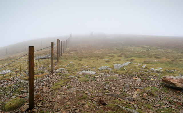
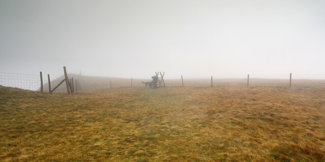
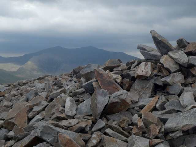
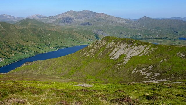
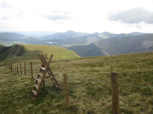
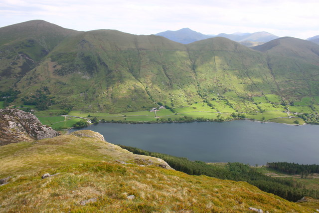
Coed Plas-y-nant offers visitors a range of activities and amenities to enjoy. There are several well-marked walking trails, catering to different fitness levels and interests. These trails offer breathtaking views of the surrounding countryside, including the nearby Snowdonia National Park. Additionally, the forest features picnic areas, providing visitors with an opportunity to relax and soak in the peaceful atmosphere.
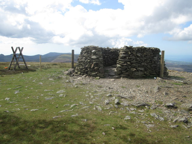
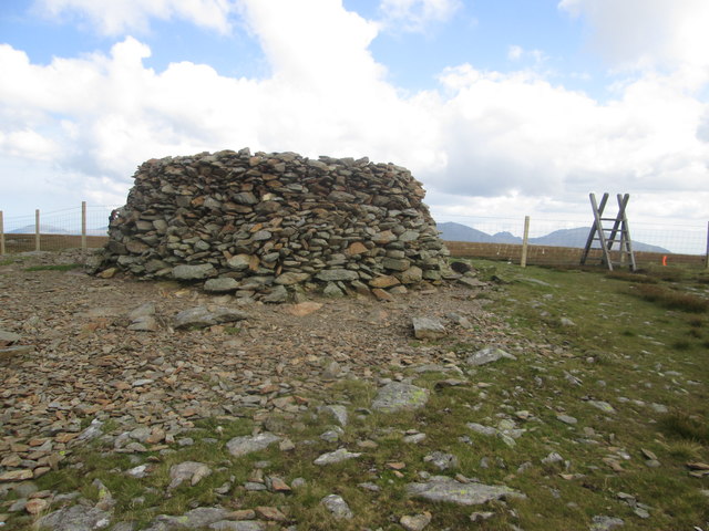
The woodland is also steeped in history and folklore. It is said to have inspired several local legends, and the ruins of an ancient Roman fort can still be found within its boundaries.
Coed Plas-y-nant is easily accessible, with ample parking available for visitors. It offers a serene and tranquil escape from the hustle and bustle of everyday life, making it a perfect destination for those seeking solace in nature. Whether exploring the woodland's trails or simply enjoying a picnic amidst its beauty, Coed Plas-y-nant is a must-visit for nature enthusiasts and history buffs alike.
If you have any feedback on the listing, please let us know in the comments section below.
Coed Plas-y-nant Images
Images are sourced within 2km of 53.084163/-4.1693351 or Grid Reference SH5456. Thanks to Geograph Open Source API. All images are credited.


Coed Plas-y-nant is located at Grid Ref: SH5456 (Lat: 53.084163, Lng: -4.1693351)
Unitary Authority: Gwynedd
Police Authority: North Wales
What 3 Words
///vowel.dupe.chainsaw. Near Llanberis, Gwynedd
Nearby Locations
Related Wikis

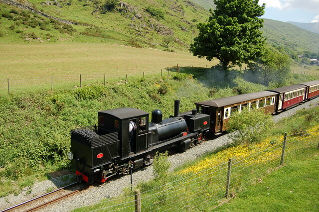
Plas-y-Nant railway station
Plas-y-Nant is an unstaffed halt on the narrow gauge Welsh Highland Railway. == History == A halt at Plas-y-Nant was first used in the 1920s but closed...
Foel Gron
Foel Gron is a peak on the Moel Eilio ridge of hills/mountains in Snowdonia, North Wales. This ridge is used as a hiker's route from Llanberis to the summit...

Moel Eilio
Moel Eilio is a mountain in Snowdonia, North Wales, that is situated approximately 3 miles north-west of Snowdon itself. It has two subsidiary tops, Foel...

Betws Garmon
Betws Garmon is a community and small hamlet outside Waunfawr and near Beddgelert in Gwynedd, Wales. It has a population of 249.The summit of Snowdon...
Llyn Cwellyn
Llyn Cwellyn (Llyn Quellyn in some antiquated texts) is a reservoir in North Wales which supplies drinking water to parts of Gwynedd and Anglesey. It lies...

Mynydd Mawr
Mynydd Mawr (Welsh for big mountain) is a mountain in Snowdonia, North Wales, approximately 7 km (4.3 mi) west of Snowdon itself, overlooking Llyn Cwellyn...

Snowdon Ranger railway station
Snowdon Ranger is a station on the narrow gauge Welsh Highland Railway, which was built in 1878 as the North Wales Narrow Gauge Railways Moel Tryfan Undertaking...

Alexandra quarry
Alexandra quarry was a slate quarry in North Wales, on the slopes of Moel Tryfan in north Gwynedd. It was part of one of the major slate quarrying regions...
Nearby Amenities
Located within 500m of 53.084163,-4.1693351Have you been to Coed Plas-y-nant?
Leave your review of Coed Plas-y-nant below (or comments, questions and feedback).