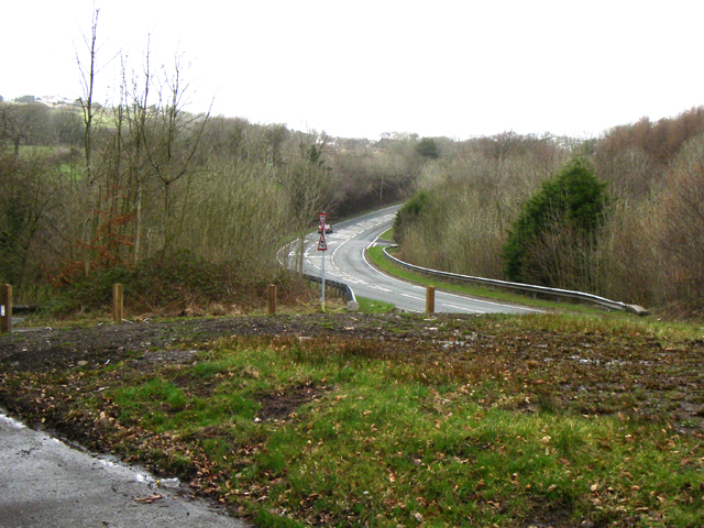
Allt Pen-deri
Wood, Forest in Carmarthenshire
Wales
Allt Pen-deri

Allt Pen-deri, located in Carmarthenshire, Wales, is a picturesque woodland area that covers a vast expanse of land. Known for its natural beauty and tranquil surroundings, it attracts nature lovers and hikers alike.
The woodland is characterized by its diverse range of tree species, including oak, beech, and ash. These towering trees create a dense canopy that provides shade and shelter for an abundance of wildlife. The forest floor is adorned with a carpet of lush ferns, bluebells, and other wildflowers, adding to the enchanting atmosphere.
Allt Pen-deri offers various walking trails, allowing visitors to explore the woodland on foot. The paths wind through the trees, offering glimpses of stunning vistas and hidden valleys along the way. The trails cater to all levels of fitness and range from easy strolls to more challenging hikes, ensuring there is something for everyone to enjoy.
The woodland is teeming with wildlife, making it a paradise for nature enthusiasts. Squirrels can be spotted scurrying among the branches, while woodland birds such as woodpeckers and owls can be heard singing their melodic tunes. If lucky, visitors may even catch a glimpse of deer or foxes roaming in their natural habitat.
Allt Pen-deri is not only a haven for flora and fauna but also a place of historical significance. The woodland is home to ancient ruins and archaeological sites, providing a glimpse into the area's rich past.
In conclusion, Allt Pen-deri in Carmarthenshire is a captivating woodland that offers a serene escape from the hustle and bustle of everyday life. With its diverse flora and fauna, scenic trails, and historical treasures, it is a must-visit destination for nature lovers and history enthusiasts alike.
If you have any feedback on the listing, please let us know in the comments section below.
Allt Pen-deri Images
Images are sourced within 2km of 51.737632/-4.1103353 or Grid Reference SN5406. Thanks to Geograph Open Source API. All images are credited.


Allt Pen-deri is located at Grid Ref: SN5406 (Lat: 51.737632, Lng: -4.1103353)
Unitary Authority: Carmarthenshire
Police Authority: Dyfed Powys
What 3 Words
///knocking.dolly.fixated. Near Tumble, Carmarthenshire
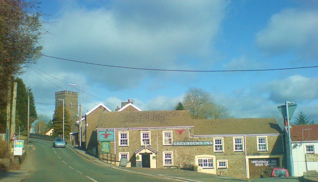
Nearby Locations
Related Wikis
Llannon
Llannon is a small village, community and electoral ward in the county of Carmarthenshire, Wales. It is located on the A476 road 11 mi (18 km) south east...
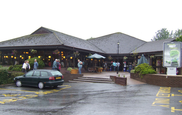
Pont Abraham Services
Pont Abraham Services is a Motorway service area in Carmarthenshire, Wales, near Pontarddulais at the western end of the M4 motorway at junction 49, where...

Swiss Valley Reservoir
Swiss Valley Reservoir, also known as Upper Lliedi reservoir and Lower Lliedi reservoir, feeds water to the towns of Llanelli and Llannon. It gets the...

Mynydd Mawr Hospital
Mynydd Mawr Hospital (Welsh: Ysbyty Mynydd Mawr) was a community hospital at Upper Tumble, Llanelli, Wales. It was managed by the Hywel Dda University...

River Lliedi
The River Lliedi (Welsh: Afon Lliedi) has its source near Mynydd Sylen Llanelli and Llannon in Carmarthenshire, Wales. The river fills the Cwm-Lliedi Reservoirs...
Llanedi
Llanedi () is a village and community in Carmarthenshire, Wales. Once the name of a parish, Llanedi is now a community taking in the hamlet of Llanedi...

Horeb, Carmarthenshire
Horeb is a hamlet in Carmarthenshire, Wales, near the town of Llanelli. It is situated east of the village of Five Roads (Welsh: Pum Heol) about five miles...
Hendy
Hendy (Welsh: Yr Hendy) is a village in the community of Llanelli, Carmarthenshire, Wales. It is situated at the Carmarthenshire and the City and County...
Nearby Amenities
Located within 500m of 51.737632,-4.1103353Have you been to Allt Pen-deri?
Leave your review of Allt Pen-deri below (or comments, questions and feedback).