Allt Blaen-maes

Wood, Forest in Carmarthenshire

Wales

Allt Blaen-maes

Ordnance Survey Cut Mark This OS cut mark can be found on the gatepost NW side of the road. It marks a point 234.248m above mean sea level.
Ordnance Survey Cut Mark Credit: Adrian Dust

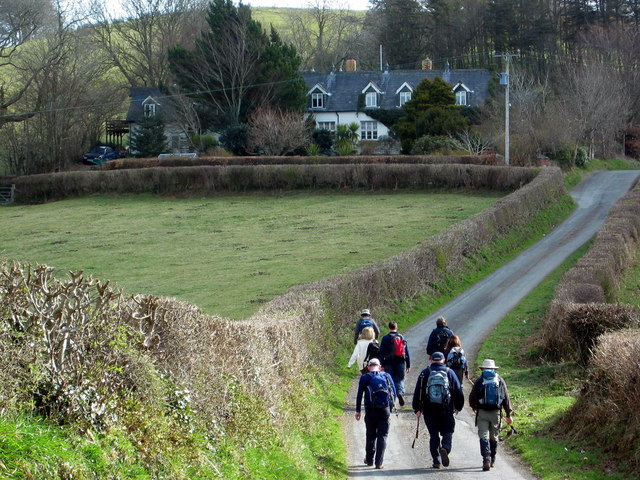
Allt Blaen-maes is a picturesque woodland located in Carmarthenshire, Wales. Spanning over a vast area, it encompasses a diverse range of flora and fauna, making it an ideal destination for nature enthusiasts and hikers.

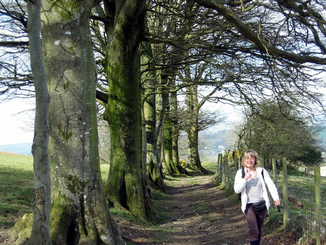
The woodland is characterized by its dense canopy of oak, birch, and beech trees, which provide a serene and tranquil atmosphere. These trees also play a crucial role in supporting a variety of wildlife, including birds, mammals, and insects. Visitors often spot species such as red kites, buzzards, and woodpeckers soaring above the treetops.

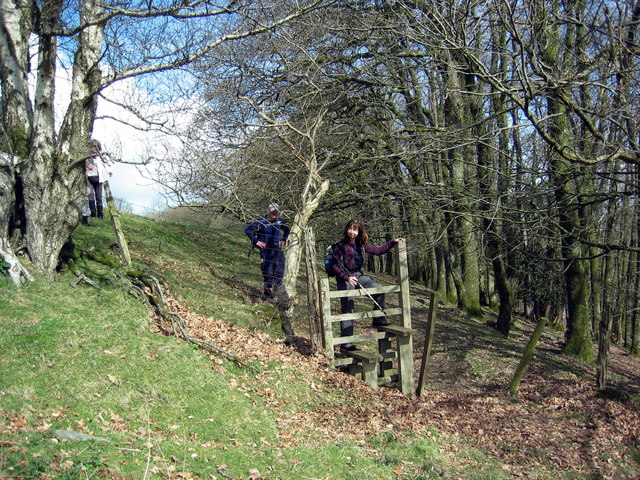
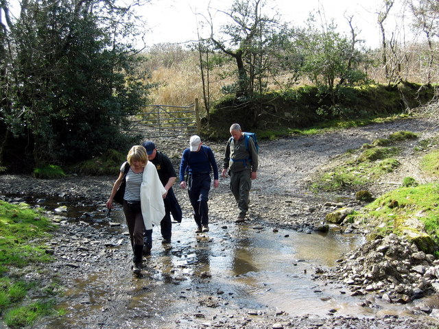
Trails and footpaths meander through Allt Blaen-maes, allowing visitors to explore the natural beauty at their own pace. The paths are well-maintained and offer stunning views of the surrounding countryside. There are also designated picnic areas where visitors can pause and enjoy the peaceful surroundings.

In addition to its natural beauty, Allt Blaen-maes holds historical significance. The woodland was once part of an ancient hunting ground belonging to the local lord. Remnants of old stone walls and ruins can still be found within the woodland, offering a glimpse into its rich past.

Allt Blaen-maes is easily accessible, with ample parking facilities available nearby. It is a popular destination for both locals and tourists, providing a perfect escape from the hustle and bustle of everyday life. Whether one seeks a peaceful walk, a chance to spot wildlife, or a glimpse into the region's history, Allt Blaen-maes offers something for everyone.

If you have any feedback on the listing, please let us know in the comments section below.

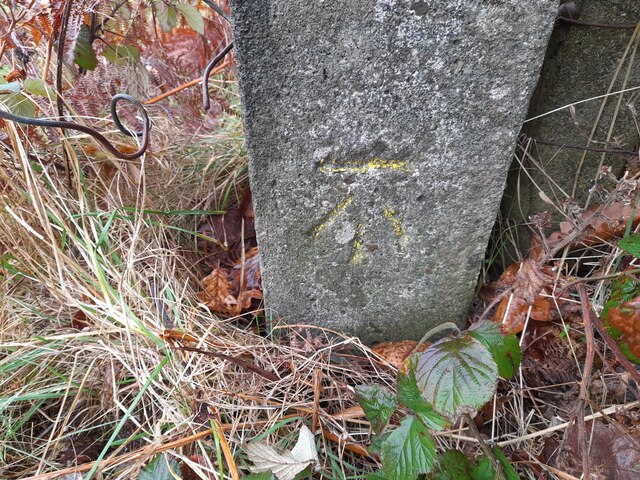
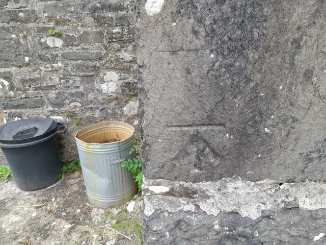
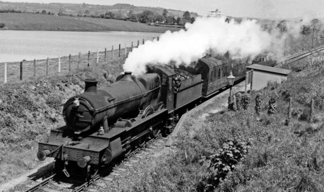
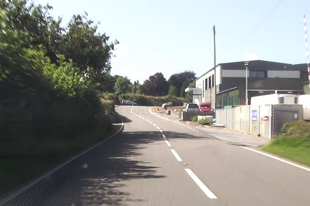
Allt Blaen-maes Images

Images are sourced within 2km of 52.085132/-4.1267255 or Grid Reference SN5445. Thanks to Geograph Open Source API. All images are credited.

Ordnance Survey Cut Mark This OS cut mark can be found on the gatepost NW side of the road. It marks a point 234.248m above mean sea level.
Ordnance Survey Cut Mark
This OS cut mark can be found on the gatepost NW side of the road. It marks a point 234.248m above mean sea level.
Ordnance Survey Cut Mark This OS cut mark can be found on the south angle of St Patr1ck's Church. It marks a point 143.086m above mean sea level.
Ordnance Survey Cut Mark
This OS cut mark can be found on the south angle of St Patr1ck's Church. It marks a point 143.086m above mean sea level.
Ordnance Survey Cut Mark This OS cut mark can be found on the gatepost SE side of the road. It marks a point 125.470m above mean sea level.
Ordnance Survey Cut Mark
This OS cut mark can be found on the gatepost SE side of the road. It marks a point 125.470m above mean sea level.
Maesllan Farm
Maesllan Farm
Aberystwyth - Carmarthen train at Pencarreg Halt View NE, towards Aberystwyth; ex-GW Aberystwyth - Carmarthen line, closed by flooding 14/12/64, officially 22/2/65. The 11.55 from Aberystwyth is headed by 4-6-0 No. 7818 'Granville Manor' (built 1/39, withdrawn 1/65). No passengers, it would seem.
Aberystwyth - Carmarthen train at Pencarreg Halt
View NE, towards Aberystwyth; ex-GW Aberystwyth - Carmarthen line, closed by flooding 14/12/64, officially 22/2/65. The 11.55 from Aberystwyth is headed by 4-6-0 No. 7818 'Granville Manor' (built 1/39, withdrawn 1/65). No passengers, it would seem.
Robin's Roost Guest House The owners assert that the house was constructed in 1820. It's right beside the A485.
Robin's Roost Guest House
The owners assert that the house was constructed in 1820. It's right beside the A485.
A485 enters Pencarreg
The Red Lion, Pencarreg
Robin's Roost B&B from A485
A485 west of Robin's Roost
A485 entering Pencarreg
A485 passing Dunbia meat processing plant
Ffynnon-Fair
Ffynnon-Fair
Hen Ysgol Dolgwm  / Dolgwm Old School Cerddwyr yn agosau at hen Ysgol Dolgwm. 

Walkers heading in the direction of the former Dolgwm School (trans. valley meadow).
Hen Ysgol Dolgwm / Dolgwm Old School
Cerddwyr yn agosau at hen Ysgol Dolgwm. Walkers heading in the direction of the former Dolgwm School (trans. valley meadow).
Ffawydd / Beech trees Rhes o ffawydd ar lwybr cyhoeddus uwchben Pencarreg.

A row of beech trees on a public footpath above Pencarreg (trans. top of the rock).
Ffawydd / Beech trees
Rhes o ffawydd ar lwybr cyhoeddus uwchben Pencarreg. A row of beech trees on a public footpath above Pencarreg (trans. top of the rock).
Allt y Gelli Sticil ar lwybr cyhoeddus uwchben Allt y Gelli.

A stile on a public footpath above Allt y Gelli (trans. wooded slope of grove)
Allt y Gelli
Sticil ar lwybr cyhoeddus uwchben Allt y Gelli. A stile on a public footpath above Allt y Gelli (trans. wooded slope of grove)
Nant Dolgwm Stream Cerddwyr yn rhydio Nant Dolgwm islaw Ffarm Llwyn Owen.

Walkers fording Dolgwm (trans. valley meadow) stream below Llwyn Owen Farm (trans.  Owen's grove)
Nant Dolgwm Stream
Cerddwyr yn rhydio Nant Dolgwm islaw Ffarm Llwyn Owen. Walkers fording Dolgwm (trans. valley meadow) stream below Llwyn Owen Farm (trans. Owen's grove)
Dunbia, Meat Processing Plant
Show me another place!

Allt Blaen-maes is located at Grid Ref: SN5445 (Lat: 52.085132, Lng: -4.1267255)

Unitary Authority: Carmarthenshire

Police Authority: Dyfed Powys

What 3 Words

///salon.wharfs.puncture. Near Lampeter, Ceredigion

Related Wikis

Corsydd a Rwyth Cilyblaidd

Corsydd a Rwyth Cilyblaidd is a wetland area that is a Site of Special Scientific Interest in Carmarthen & Dinefwr, Wales. == See also == List of Sites...

Llyn Pencarreg

Llyn Pencarreg is an oligotrophic lake that is Site of Special Scientific Interest in Carmarthen & Dinefwr, Wales. == See also == List of Sites of Special...

Pencarreg Halt railway station

Pencarreg Halt railway station served the hamlet and rural locale of Pencarreg from 1930 to 1965 on the old Carmarthen Aberystwyth Line in the Welsh county...

Pencarreg

Pencarreg () is a village and community located in Carmarthenshire, Wales, 4 miles (6.4 km) to the south-west of Lampeter. Settlement is primarily grouped...

Nearby Amenities

Located within 500m of 52.085132,-4.1267255
Addr Country: GB
Addr Housename: Blaen-maes
Addr Postcode: SA40 9QP
Source Addr Postcode: OS_OpenData_Code-Point
Source Name: OS_OpenData_StreetView
Lat/Long: 52.085366/-4.1294835
Addr Country: GB
Addr Housename: Blaencarreg
Addr Postcode: SA40 9QP
Source Addr Postcode: OS_OpenData_Code-Point
Source Name: OS_OpenData_StreetView
Lat/Long: 52.0824032/-4.122041
Addr Country: GB
Addr Housename: Frondeg
Addr Postcode: SA40 9QP
Source Addr Postcode: OS_OpenData_Code-Point
Source Name: OS_OpenData_StreetView
Lat/Long: 52.0835101/-4.1235092
The data included in this document is from www.openstreetmap.org. The data is made available under ODbL.

Have you been to Allt Blaen-maes?

Leave your review of Allt Blaen-maes below (or comments, questions and feedback).