Coed Môr
Wood, Forest in Anglesey
Wales
Coed Môr
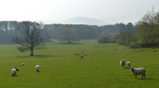
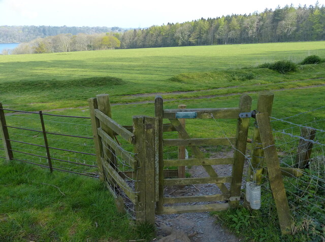
Coed Môr, located on the Isle of Anglesey in North Wales, is a picturesque woodland and forest area renowned for its natural beauty and diverse wildlife. Spanning approximately 200 acres, this enchanting woodland is a haven for nature enthusiasts and outdoor adventurers alike.
The name "Coed Môr" translates to "Wood, Forest" in Welsh, which accurately reflects the lush, dense vegetation that covers the landscape. The forest is predominantly made up of native species such as oak, birch, and pine trees, creating a rich and varied ecosystem.
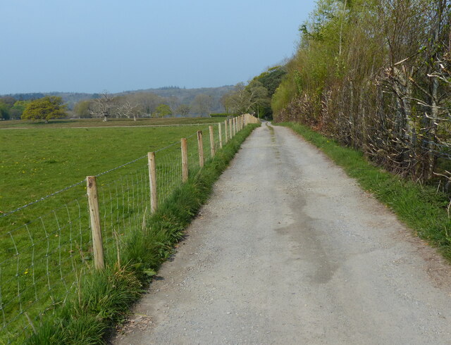
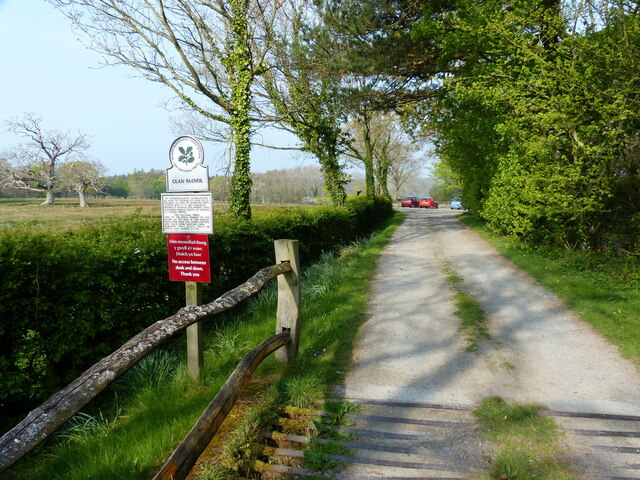
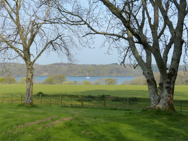
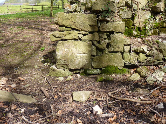
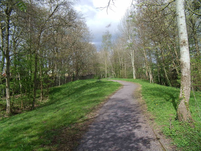
Visitors to Coed Môr can immerse themselves in the tranquility and serenity of the forest, surrounded by the soothing sounds of nature. The woodland is crisscrossed by a network of walking trails, allowing visitors to explore its enchanting beauty at their own pace. These trails lead to various points of interest, including a beautiful stream, a small waterfall, and stunning viewpoints that offer breathtaking vistas of the surrounding countryside.
Coed Môr is not only a place of natural beauty but also a sanctuary for a wide range of wildlife. The forest is home to a myriad of bird species, including woodpeckers, owls, and various songbirds. It is also a habitat for small mammals, such as foxes, badgers, and voles. Nature enthusiasts will be fascinated by the diverse flora and fauna that call this woodland home.
Overall, Coed Môr is a hidden gem on the Isle of Anglesey, offering visitors a chance to escape the hustle and bustle of everyday life and reconnect with nature in a truly magical setting.
If you have any feedback on the listing, please let us know in the comments section below.
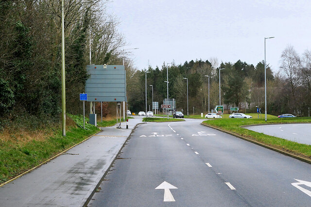
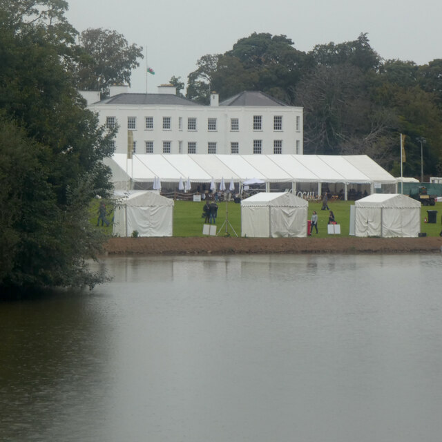
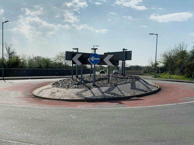
Coed Môr Images
Images are sourced within 2km of 53.219733/-4.1861592 or Grid Reference SH5471. Thanks to Geograph Open Source API. All images are credited.


Coed Môr is located at Grid Ref: SH5471 (Lat: 53.219733, Lng: -4.1861592)
Unitary Authority: Isle of Anglesey
Police Authority: North Wales
What 3 Words
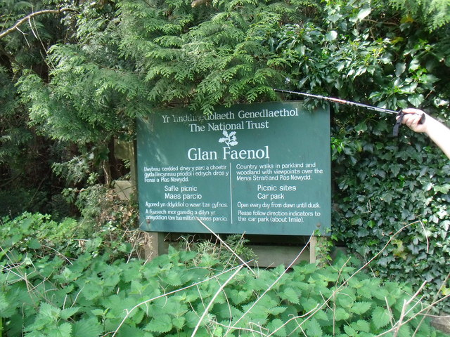
///polar.tarnished.sleepless. Near Llanfairpwllgwyngyll, Isle of Anglesey
Nearby Locations
Related Wikis
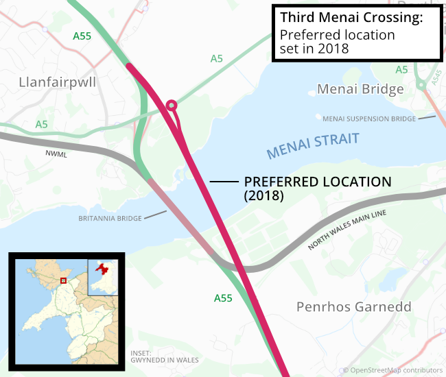
Third Menai Crossing
The Third Menai Crossing (or (A55) 3rd Menai Crossing) was a proposed bridge over the Menai Strait, connecting the Isle of Anglesey with mainland Wales...
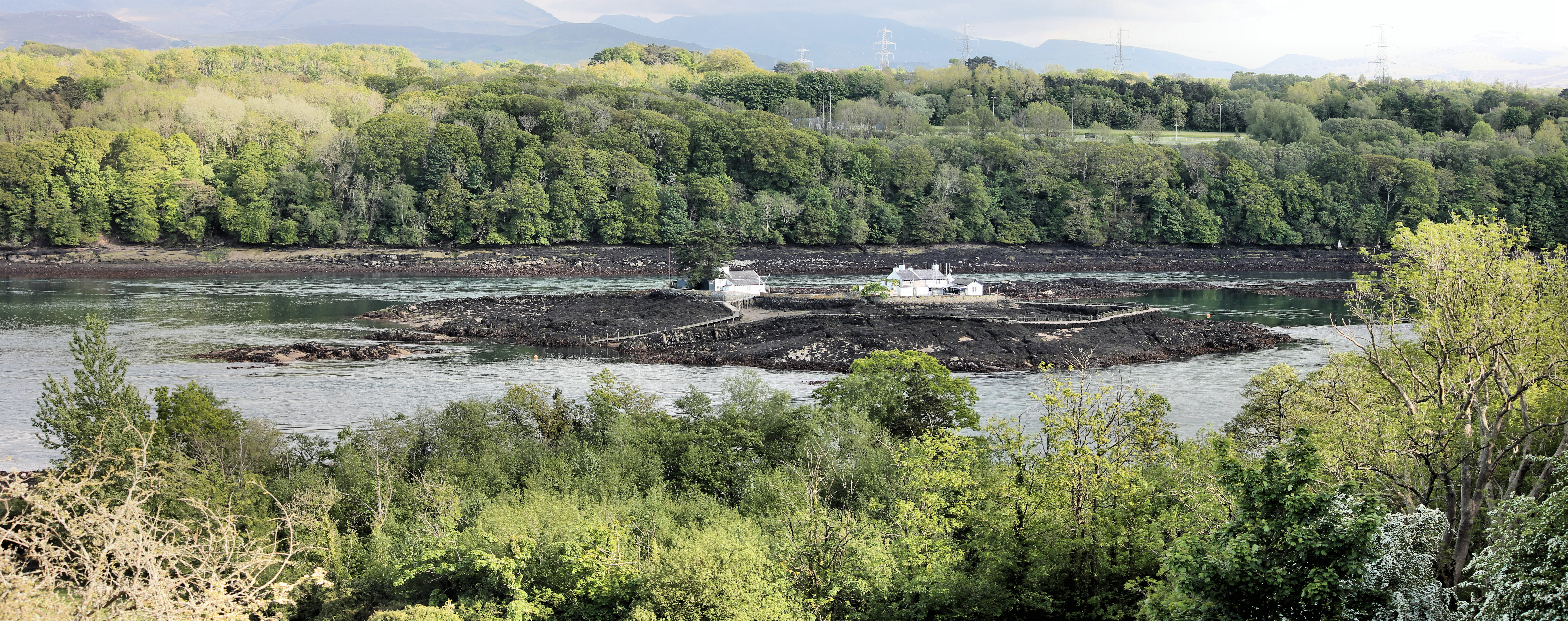
Ynys Gored Goch
Ynys Gored Goch ("Red Weir Island"), sometimes Ynys Gorad Goch, is a small island in the Menai Strait between Gwynedd and Anglesey in north Wales. It is...

Britannia Bridge
Britannia Bridge (Welsh: Pont Britannia) is a bridge in Wales that crosses the Menai Strait between the Isle of Anglesey and city of Bangor. It was originally...
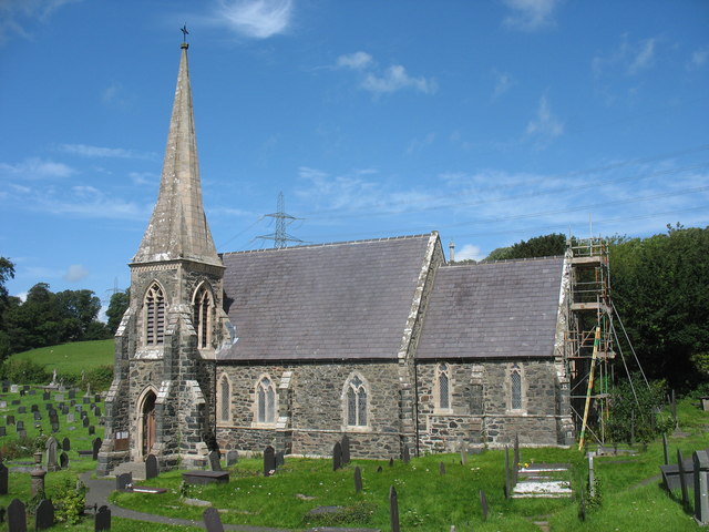
St Mary's Church, Llanfairpwllgwyngyll
St Mary's Church is a Church in Wales parish church in Llanfairpwllgwyngyll, Anglesey, Wales. It was built in 1853 to serve the village in the Diocese...

Marquess of Anglesey's Column
The Marquess of Anglesey's Column (also known as Anglesey Column or by the Welsh name Tŵr Marcwis) is a Doric column near the Menai Strait in Wales. It...

Ty Mawr Burial Chamber
Ty Mawr Burial Chamber is a Neolithic dolmen located northeast of the town Llanfairpwllgwyngyll in Anglesey, Wales. == Description == The burial chamber...

Bangor 1876 F.C.
Bangor 1876 Football Club (Welsh: Clwb Pêl-Droed Bangor 1876) is a Welsh football club in Bangor, Gwynedd, who play in the Cymru North, the second tier...
Plas Llanfair
Plas Llanfair is an area in the community of Llanfair Pwllgwyngyll, Anglesey, Wales, which is 127.6 miles (205.4 km) from Cardiff and 208.5 miles (335...
Nearby Amenities
Located within 500m of 53.219733,-4.1861592Have you been to Coed Môr?
Leave your review of Coed Môr below (or comments, questions and feedback).