Coed Mair
Wood, Forest in Caernarfonshire
Wales
Coed Mair
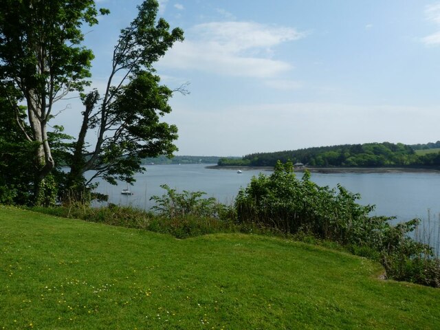
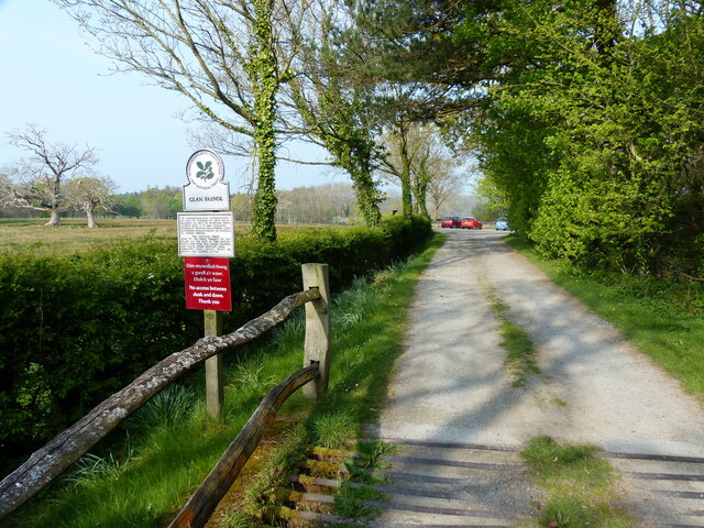
Coed Mair, located in Caernarfonshire, is a stunning woodland area renowned for its natural beauty and diverse ecosystem. The name "Coed Mair" translates to "Wood, Forest" in English, perfectly encapsulating the essence of this enchanting place.
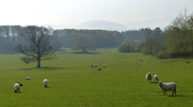
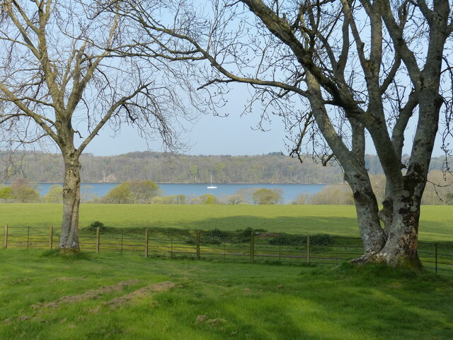
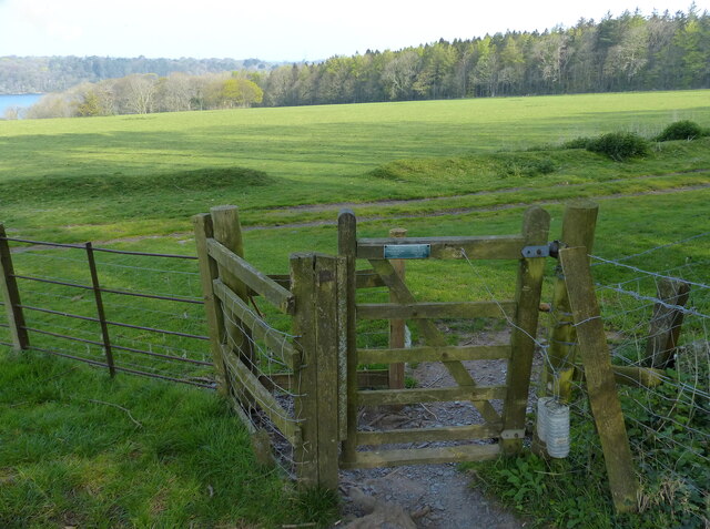
Covering an extensive area, Coed Mair is characterized by a mixture of ancient woodland and carefully managed plantations. The woodlands are predominantly composed of native tree species, including oak, ash, birch, and rowan, which thrive in the favorable climate of Caernarfonshire. These trees create a lush and verdant landscape, providing a habitat for a myriad of wildlife.
The biodiversity found in Coed Mair is truly remarkable. The woodland is home to a variety of bird species, such as the elusive woodcock and the melodious nightingale. Additionally, mammals like badgers, foxes, and red squirrels can also be spotted roaming the forest floor. The flora in Coed Mair is equally impressive, with carpets of wildflowers blooming in the spring and summer months, adding bursts of vibrant colors to the woodland.
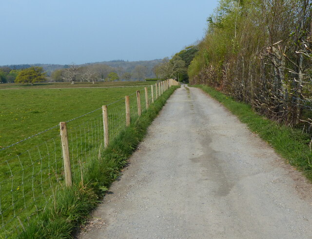
Coed Mair offers a haven for nature enthusiasts and outdoor adventurers alike. There are numerous walking trails and paths that wind through the woods, allowing visitors to explore and immerse themselves in the peaceful ambiance. The serenity of the forest makes it an ideal spot for birdwatching, photography, or simply enjoying a picnic in the midst of nature.
Overall, Coed Mair is a captivating woodland area that showcases the beauty of Caernarfonshire's natural landscapes. With its rich biodiversity and tranquil atmosphere, it is a must-visit destination for anyone seeking a genuine connection with nature.
If you have any feedback on the listing, please let us know in the comments section below.
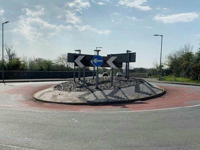
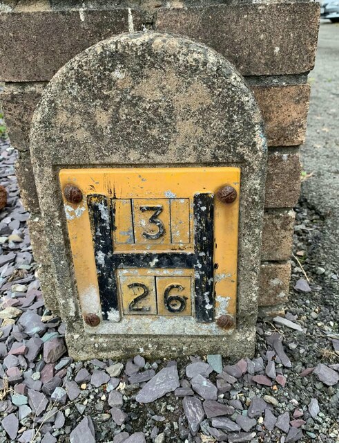
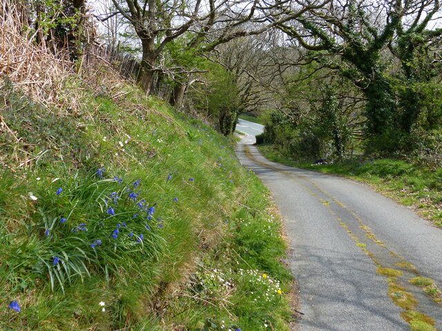
Coed Mair Images
Images are sourced within 2km of 53.21371/-4.1885184 or Grid Reference SH5370. Thanks to Geograph Open Source API. All images are credited.


Coed Mair is located at Grid Ref: SH5370 (Lat: 53.21371, Lng: -4.1885184)
Unitary Authority: Gwynedd
Police Authority: North Wales
What 3 Words
///puppy.resolves.wizard. Near Llanfairpwllgwyngyll, Isle of Anglesey
Nearby Locations
Related Wikis

Britannia Bridge
Britannia Bridge (Welsh: Pont Britannia) is a bridge in Wales that crosses the Menai Strait between the Isle of Anglesey and city of Bangor. It was originally...
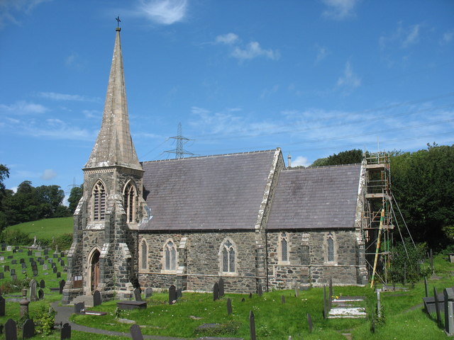
St Mary's Church, Llanfairpwllgwyngyll
St Mary's Church is a Church in Wales parish church in Llanfairpwllgwyngyll, Anglesey, Wales. It was built in 1853 to serve the village in the Diocese...

Pwll Fanog wreck
The Pwll Fanog wreck is a small Medieval-era wooden vessel that sank in the Menai Strait, off the coast of Anglesey in Wales. The cargo vessel, believed...
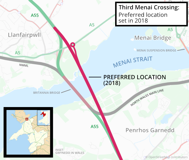
Third Menai Crossing
The Third Menai Crossing (or (A55) 3rd Menai Crossing) was a proposed bridge over the Menai Strait, connecting the Isle of Anglesey with mainland Wales...
Nearby Amenities
Located within 500m of 53.21371,-4.1885184Have you been to Coed Mair?
Leave your review of Coed Mair below (or comments, questions and feedback).