Coed Crawley

Wood, Forest in Caernarfonshire

Wales

Coed Crawley

Plas Newydd
Plas Newydd Credit: Ceri Thomas

Coed Crawley is a dense woodland located in the county of Caernarfonshire, Wales. Spanning over a vast area, it is renowned for its picturesque natural beauty and rich biodiversity. The woodland is situated in close proximity to the village of Crawley, which adds to its accessibility and popularity among locals and visitors alike.

The forest is dominated by a variety of tree species, including oak, beech, and birch, which contribute to its lush green landscape throughout the year. These trees provide a habitat for numerous wildlife species, such as red squirrels, badgers, and various bird species, making it a haven for nature enthusiasts and birdwatchers.

Coed Crawley offers a range of recreational activities and facilities for visitors to enjoy. There are well-maintained walking trails that meander through the woodland, allowing visitors to explore its beauty at their own pace. The forest is also a popular destination for cyclists, with designated cycling routes that provide an exhilarating experience amidst the serene surroundings.

For those seeking a more leisurely experience, Coed Crawley offers several picnic areas where visitors can relax and enjoy a meal surrounded by nature. Additionally, there are designated camping spots for those wishing to spend a night under the starry sky, immersing themselves in the tranquility of the forest.

Overall, Coed Crawley in Caernarfonshire is a captivating woodland that invites visitors to immerse themselves in its natural beauty and explore the diverse flora and fauna it has to offer. Whether it's a leisurely stroll, an adventurous bike ride, or simply a peaceful picnic, this forest provides a perfect escape from the hustle and bustle of everyday life.

If you have any feedback on the listing, please let us know in the comments section below.
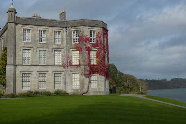
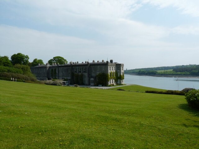
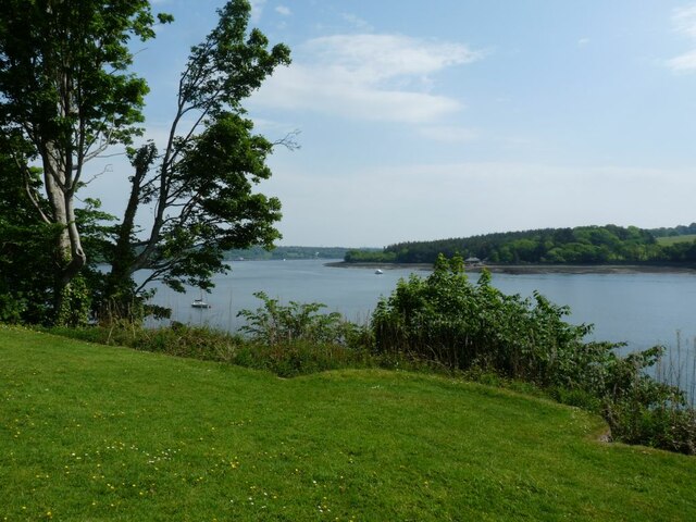
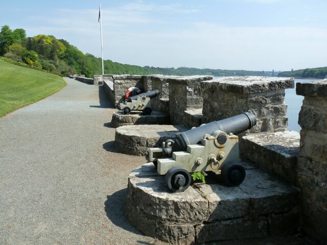
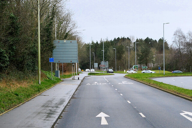
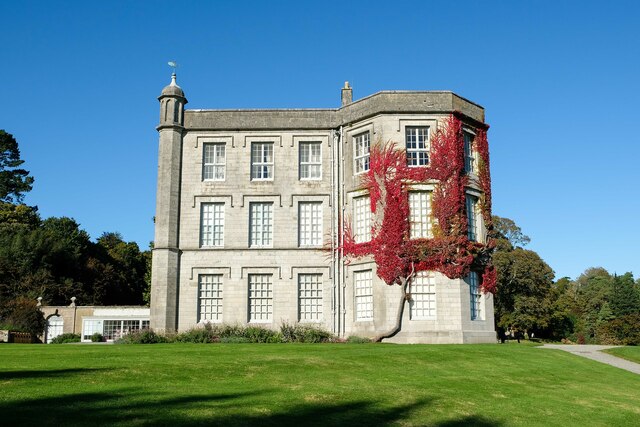
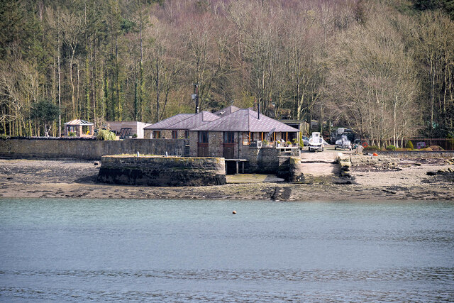
Coed Crawley Images

Images are sourced within 2km of 53.211805/-4.1919108 or Grid Reference SH5370. Thanks to Geograph Open Source API. All images are credited.

Plas Newydd
Plas Newydd
Plas Newydd View of the house and the Menai Straits beyond.
Plas Newydd
View of the house and the Menai Straits beyond.
The Menai Straits from Plas Newydd High tide.
The Menai Straits from Plas Newydd
High tide.
Defending Plas Newydd Cannons  facing the Menai Straits
Defending Plas Newydd
Cannons facing the Menai Straits
A487 at Junction 9 of the North Wales Expressway
Plas Newydd
Plas Newydd
Garden feature at Plas Newydd A fountain in the upper terrace garden at Plas Newydd.
Garden feature at Plas Newydd
A fountain in the upper terrace garden at Plas Newydd.
Plas Newydd, Anglesey Plas Newydd (New Mansion in English) has Tudor origins but it was in the 18th century that Sir Nicholas Bayly transformed the house in an architectural style that had echoes of Welsh castles. The house later passed to the Paget family by marriage and Henry Paget was given the title Marquess of Anglesey for his bravery at the Battle of Waterloo in 1815. The present Marquess continues to live here, but the 7th Marquess gave the house to the National Trust in 1976 and it is open to the public. The building is grade II* listed.
Plas Newydd, Anglesey
Plas Newydd (New Mansion in English) has Tudor origins but it was in the 18th century that Sir Nicholas Bayly transformed the house in an architectural style that had echoes of Welsh castles. The house later passed to the Paget family by marriage and Henry Paget was given the title Marquess of Anglesey for his bravery at the Battle of Waterloo in 1815. The present Marquess continues to live here, but the 7th Marquess gave the house to the National Trust in 1976 and it is open to the public. The building is grade II* listed.
Tourist boat on the Menai Strait (Afon Menai) A tourist boat on the Menai Strait next to Plas Newydd.
Tourist boat on the Menai Strait (Afon Menai)
A tourist boat on the Menai Strait next to Plas Newydd.
Plas Newydd House A country house set in gardens, parkland and woodland on the north bank of the Menai Strait. The house is Grade I-listed as "an important example of an eighteenth century country house" (Cadw reference 5462 <span class="nowrap"><a title="https://cadwpublic-api.azurewebsites.net/reports/listedbuilding/FullReport?lang=en&id=5462" rel="nofollow ugc noopener" href="https://cadwpublic-api.azurewebsites.net/reports/listedbuilding/FullReport?lang=en&id=5462">Link</a><img style="margin-left:2px;" alt="External link" title="External link - shift click to open in new window" src="https://s1.geograph.org.uk/img/external.png" width="10" height="10"/></span> ).

Plas Newydd was given to the National Trust by the 7th Marquess of Anglesey in 1976.
Plas Newydd House
A country house set in gardens, parkland and woodland on the north bank of the Menai Strait. The house is Grade I-listed as "an important example of an eighteenth century country house" (Cadw reference 5462 LinkExternal link ). Plas Newydd was given to the National Trust by the 7th Marquess of Anglesey in 1976.
Plas Newydd A country house set in gardens, parkland and woodland on the north bank of the Menai Strait. The house is Grade I-listed as "an important example of an eighteenth century country house" (Cadw reference 5462 <span class="nowrap"><a title="https://cadwpublic-api.azurewebsites.net/reports/listedbuilding/FullReport?lang=en&id=5462" rel="nofollow ugc noopener" href="https://cadwpublic-api.azurewebsites.net/reports/listedbuilding/FullReport?lang=en&id=5462">Link</a><img style="margin-left:2px;" alt="External link" title="External link - shift click to open in new window" src="https://s1.geograph.org.uk/img/external.png" width="10" height="10"/></span> ).

Plas Newydd was given to the National Trust by the 7th Marquess of Anglesey in 1976.
Plas Newydd
A country house set in gardens, parkland and woodland on the north bank of the Menai Strait. The house is Grade I-listed as "an important example of an eighteenth century country house" (Cadw reference 5462 LinkExternal link ). Plas Newydd was given to the National Trust by the 7th Marquess of Anglesey in 1976.
Plas Newydd House, Rex Whistler Room Plas Newydd is famous for its association with the painter Rex Whistler. The North Wing of the mansion was entirely remodelled in 1935-6; its principal feature is the Rex Whistler Room which contains the artist's last and largest mural, completed in 1940. The mural, “Capriccio” (<span class="nowrap"><a title="https://en.wikipedia.org/wiki/Capriccio_(Rex_Whistler)" rel="nofollow ugc noopener" href="https://en.wikipedia.org/wiki/Capriccio_(Rex_Whistler)">Link</a><img style="margin-left:2px;" alt="External link" title="External link - shift click to open in new window" src="https://s1.geograph.org.uk/img/external.png" width="10" height="10"/></span> ) was designed as an imaginary view from the windows of Plas Newydd House over the Menai Strait and Snowdonia, mixed with classical architecture. It was originally commissioned in 1936 for the recently-completed dining room.
Plas Newydd House, Rex Whistler Room
Plas Newydd is famous for its association with the painter Rex Whistler. The North Wing of the mansion was entirely remodelled in 1935-6; its principal feature is the Rex Whistler Room which contains the artist's last and largest mural, completed in 1940. The mural, “Capriccio” (LinkExternal link ) was designed as an imaginary view from the windows of Plas Newydd House over the Menai Strait and Snowdonia, mixed with classical architecture. It was originally commissioned in 1936 for the recently-completed dining room.
HMS Conway on the Menai Strait HMS Conway was a naval training school or "school ship", founded in 1859 and housed for most of her life aboard a 19th-century wooden ship of the line. The ship was originally stationed on the Mersey but was moved to the Menai Strait to escape the bombing of Liverpool Docks during World War II. 

This photograph shows the Conway moored off Plas Newydd. It was taken in March 2022, but is clearly an illusion as the ship sank almost 70 years ago! She ran aground whilst being towed back to Birkenhead for a refit in 1953. See <span class="nowrap"><a title="http://www.friendsofhmsconway.org/plas-newydd-display/" rel="nofollow ugc noopener" href="http://www.friendsofhmsconway.org/plas-newydd-display/">Link</a><img style="margin-left:2px;" alt="External link" title="External link - shift click to open in new window" src="https://s1.geograph.org.uk/img/external.png" width="10" height="10"/></span> (The Friends of HMS Conway) and <a href="https://www.geograph.org.uk/photo/7136025">SH5269 : HMS Conway Memorial at Plas Newydd</a> for an explanation of the “illusion”.
HMS Conway on the Menai Strait
HMS Conway was a naval training school or "school ship", founded in 1859 and housed for most of her life aboard a 19th-century wooden ship of the line. The ship was originally stationed on the Mersey but was moved to the Menai Strait to escape the bombing of Liverpool Docks during World War II. This photograph shows the Conway moored off Plas Newydd. It was taken in March 2022, but is clearly an illusion as the ship sank almost 70 years ago! She ran aground whilst being towed back to Birkenhead for a refit in 1953. See LinkExternal link (The Friends of HMS Conway) and SH5269 : HMS Conway Memorial at Plas Newydd for an explanation of the “illusion”.
HMS Conway Memorial at Plas Newydd HMS Conway was a naval training school or "school ship", founded in 1859 and housed for most of her life aboard a 19th-century wooden ship of the line. The ship was originally stationed on the Mersey but was moved to the Menai Strait to escape the bombing of Liverpool Docks during World War II. 
She ran aground and sank whilst being towed back to Birkenhead for a refit in 1953. This memorial was installed at her old dock in 2018. The image of the HMS Conway has been painted onto the glass so that when you look through it, the ship appears to be still on her old mooring (<a href="https://www.geograph.org.uk/photo/7136014">SH5269 : HMS Conway on the Menai Strait</a>).

See <span class="nowrap"><a title="https://menaibridges.co.uk/history/local-area/hms-conwy/" rel="nofollow ugc noopener" href="https://menaibridges.co.uk/history/local-area/hms-conwy/">Link</a><img style="margin-left:2px;" alt="External link" title="External link - shift click to open in new window" src="https://s1.geograph.org.uk/img/external.png" width="10" height="10"/></span> (Menai Heritage) for more information about HMS Conway and <span class="nowrap"><a title="http://www.friendsofhmsconway.org/plas-newydd-display/" rel="nofollow ugc noopener" href="http://www.friendsofhmsconway.org/plas-newydd-display/">Link</a><img style="margin-left:2px;" alt="External link" title="External link - shift click to open in new window" src="https://s1.geograph.org.uk/img/external.png" width="10" height="10"/></span> (The Friends of HMS Conway) for more information about the memorial.
HMS Conway Memorial at Plas Newydd
HMS Conway was a naval training school or "school ship", founded in 1859 and housed for most of her life aboard a 19th-century wooden ship of the line. The ship was originally stationed on the Mersey but was moved to the Menai Strait to escape the bombing of Liverpool Docks during World War II. She ran aground and sank whilst being towed back to Birkenhead for a refit in 1953. This memorial was installed at her old dock in 2018. The image of the HMS Conway has been painted onto the glass so that when you look through it, the ship appears to be still on her old mooring (SH5269 : HMS Conway on the Menai Strait). See LinkExternal link (Menai Heritage) for more information about HMS Conway and LinkExternal link (The Friends of HMS Conway) for more information about the memorial.
The Old Dock Area at Plas Newydd Constructed at the end of the eighteenth century, it was leased to the HMS Conway Training School in 1947. Presently used by the Conway Centre <span class="nowrap"><a title="https://conwaycentres.co.uk/anglesey" rel="nofollow ugc noopener" href="https://conwaycentres.co.uk/anglesey">Link</a><img style="margin-left:2px;" alt="External link" title="External link - shift click to open in new window" src="https://s1.geograph.org.uk/img/external.png" width="10" height="10"/></span> .
The Old Dock Area at Plas Newydd
Constructed at the end of the eighteenth century, it was leased to the HMS Conway Training School in 1947. Presently used by the Conway Centre LinkExternal link .
Plas Newydd, Open-air Swimming Pool Former open-air pool fed by water from the Menai Strait.
Plas Newydd, Open-air Swimming Pool
Former open-air pool fed by water from the Menai Strait.
Dock at NW edge of Vaynol Park Constructed in the mid-nineteenth century (before 1871) to facilitate the transportation of supplies, particularly coal, to and from Vaynol Park.
Dock at NW edge of Vaynol Park
Constructed in the mid-nineteenth century (before 1871) to facilitate the transportation of supplies, particularly coal, to and from Vaynol Park.
Menai Strait at Plas Newydd
Show me another place!

Coed Crawley is located at Grid Ref: SH5370 (Lat: 53.211805, Lng: -4.1919108)

Unitary Authority: Gwynedd

Police Authority: North Wales

What 3 Words

///matchbox.etchings.sparkle. Near Llanfairpwllgwyngyll, Isle of Anglesey

Related Wikis

Pwll Fanog wreck

The Pwll Fanog wreck is a small Medieval-era wooden vessel that sank in the Menai Strait, off the coast of Anglesey in Wales. The cargo vessel, believed...

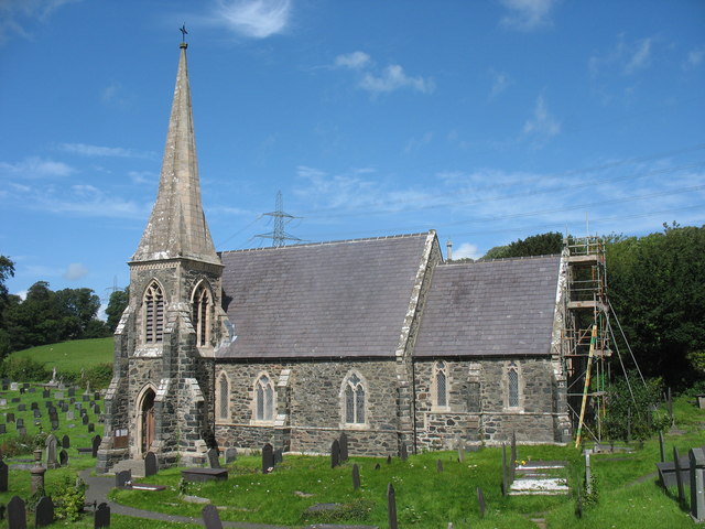
St Mary's Church, Llanfairpwllgwyngyll

St Mary's Church is a Church in Wales parish church in Llanfairpwllgwyngyll, Anglesey, Wales. It was built in 1853 to serve the village in the Diocese...

Britannia Bridge

Britannia Bridge (Welsh: Pont Britannia) is a bridge in Wales that crosses the Menai Strait between the Isle of Anglesey and city of Bangor. It was originally...

Treborth railway station

Treborth railway station was a railway station located on the Bangor and Carnarvon Railway, about half a mile south of the Britannia Bridge, Caernarfonshire...

Nearby Amenities

Located within 500m of 53.211805,-4.1919108
Source: PGS
Lat/Long: 53.2162417/-4.1913823
Source: PGS
Lat/Long: 53.2144966/-4.1876288
Source: PGS
Lat/Long: 53.2141879/-4.1894703
Source: PGS
Lat/Long: 53.2138728/-4.1905177
Source: PGS
Lat/Long: 53.2135472/-4.1922011
Source: PGS
Lat/Long: 53.2134123/-4.1924505
Source: PGS
Lat/Long: 53.2129414/-4.194033
Source: PGS
Lat/Long: 53.2126538/-4.1947081
Source: PGS
Lat/Long: 53.2123785/-4.1951622
Source: PGS
Lat/Long: 53.2121533/-4.1953863
Source: PGS
Lat/Long: 53.2119179/-4.1955892
Source: PGS
Lat/Long: 53.2116405/-4.1960031
Source: PGS
Lat/Long: 53.211401/-4.1963616
Source: PGS
Lat/Long: 53.211269/-4.1965104
Source: PGS
Lat/Long: 53.2109946/-4.1969544
Source: PGS
Lat/Long: 53.2109487/-4.1970994
Source: PGS
Lat/Long: 53.2103345/-4.1981775
Source: PGS
Lat/Long: 53.2103068/-4.1983829
Nelson's Statue
Historic: monument
Source: OS OpenData StreetView
Lat/Long: 53.2162027/-4.1933434
Natural: spring
Lat/Long: 53.2116439/-4.188511
Coed Vaynol
Information: board
Tourism: information
Lat/Long: 53.2125046/-4.1942802
Leisure: picnic_table
Lat/Long: 53.2125311/-4.1944465
The data included in this document is from www.openstreetmap.org. The data is made available under ODbL.

Have you been to Coed Crawley?

Leave your review of Coed Crawley below (or comments, questions and feedback).