Coed Cyrnant

Wood, Forest in Caernarfonshire

Wales

Coed Cyrnant

Welsh Highland Railway North of Tryfan Junction. <span class="nowrap"><a title="https://en.wikipedia.org/wiki/Welsh_Highland_Railway" rel="nofollow ugc noopener" href="https://en.wikipedia.org/wiki/Welsh_Highland_Railway">Link</a><img style="margin-left:2px;" alt="External link" title="External link - shift click to open in new window" src="https://s1.geograph.org.uk/img/external.png" width="10" height="10"/></span>
Welsh Highland Railway Credit: Eirian Evans

Coed Cyrnant is a picturesque woodland located in the county of Caernarfonshire, Wales. Covering an area of approximately 200 acres, it is a site of natural beauty and ecological importance. The woodland is situated near the village of Llanrug, just a few miles south of the town of Caernarfon.

Coed Cyrnant boasts a diverse range of tree species, including oak, beech, birch, and pine. These trees provide a habitat for various wildlife, making it an ideal spot for nature enthusiasts and bird watchers. The woodland is home to a variety of bird species, such as woodpeckers, owls, and thrushes, as well as small mammals like squirrels and hedgehogs.

The woodland offers several walking trails that wind through its enchanting surroundings. These paths provide visitors with an opportunity to immerse themselves in the tranquility of nature, away from the hustle and bustle of daily life. The trails are well-marked and suitable for all skill levels, making them accessible to families and individuals of all ages.

Coed Cyrnant also features a small picnic area, where visitors can relax and enjoy a meal amidst the peaceful surroundings. It is a popular spot for families and friends to gather, especially during the warmer months.

Overall, Coed Cyrnant is a beautiful woodland that offers a serene escape from the outside world. Its rich biodiversity and well-maintained trails make it a must-visit destination for nature lovers and those seeking a peaceful retreat in Caernarfonshire.

If you have any feedback on the listing, please let us know in the comments section below.
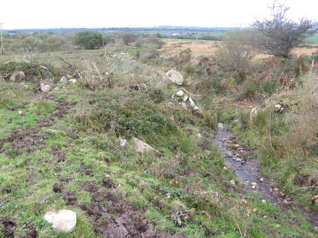
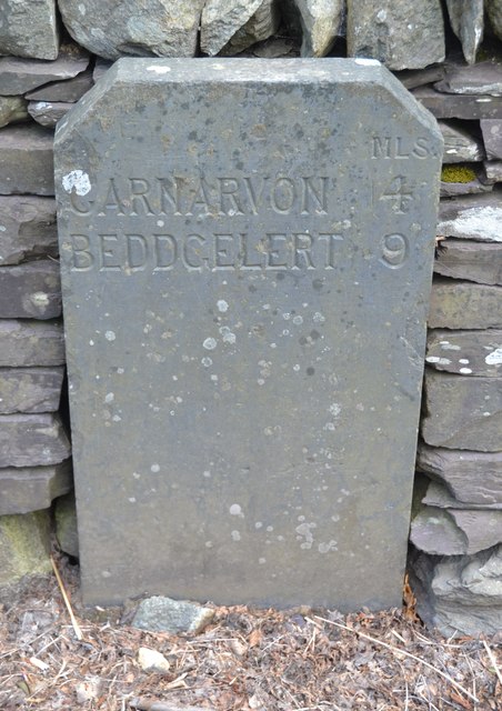
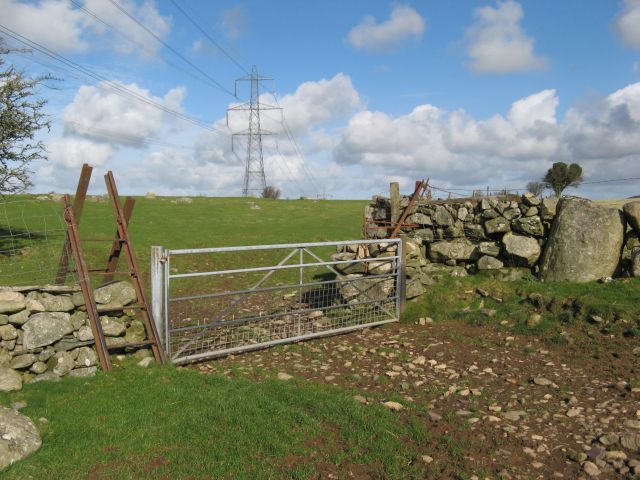
Coed Cyrnant Images

Images are sourced within 2km of 53.107036/-4.213739 or Grid Reference SH5158. Thanks to Geograph Open Source API. All images are credited.

Welsh Highland Railway North of Tryfan Junction. <span class="nowrap"><a title="https://en.wikipedia.org/wiki/Welsh_Highland_Railway" rel="nofollow ugc noopener" href="https://en.wikipedia.org/wiki/Welsh_Highland_Railway">Link</a><img style="margin-left:2px;" alt="External link" title="External link - shift click to open in new window" src="https://s1.geograph.org.uk/img/external.png" width="10" height="10"/></span>
Welsh Highland Railway
North of Tryfan Junction. LinkExternal link
Dros y gors In theory at least, a footpath runs at the side of this small stream which descends from the Ceunant road towards the boggy valley. Large, glacially-derived boulders have been turned up where the stream has been deepened for drainage.
Dros y gors
In theory at least, a footpath runs at the side of this small stream which descends from the Ceunant road towards the boggy valley. Large, glacially-derived boulders have been turned up where the stream has been deepened for drainage.
The road to Waunfawr [A4085] In the dip by Pont Afon Bach [in English, the bridge across the small river]. On the horizon, the mountain known locally as the Elephant, but mapped as Mynydd Mawr.
The road to Waunfawr [A4085]
In the dip by Pont Afon Bach [in English, the bridge across the small river]. On the horizon, the mountain known locally as the Elephant, but mapped as Mynydd Mawr.
Pylon in the valley of Afon Bach With Moel Eilio on the horizon.
Pylon in the valley of Afon Bach
With Moel Eilio on the horizon.
Muddy pasture east of the A4085 Slightly churned up at the field entrance.
Muddy pasture east of the A4085
Slightly churned up at the field entrance.
Open gate in a field boundary, above Afon Bach Looking north-east. The houses on the hillside are in Ceunant.
Open gate in a field boundary, above Afon Bach
Looking north-east. The houses on the hillside are in Ceunant.
The road to Waunfawr, at the 201 metre spot height With the Elephant [Mynydd Mawr] on the horizon.
The road to Waunfawr, at the 201 metre spot height
With the Elephant [Mynydd Mawr] on the horizon.
Waterlogged pasture above [east of] Monte Veritas Looking westwards from the Waunfawr - Llanrug road.
Waterlogged pasture above [east of] Monte Veritas
Looking westwards from the Waunfawr - Llanrug road.
Tan yr Allt, between Ceunant and Waunfawr On the east side of the road. The house name translates as 'Below the hill'.
Tan yr Allt, between Ceunant and Waunfawr
On the east side of the road. The house name translates as 'Below the hill'.
Nant yn ei llawn nerth / A stream in full spate Following heavy rain in late December 2015, this small stream was exceptionally lively.
Nant yn ei llawn nerth / A stream in full spate
Following heavy rain in late December 2015, this small stream was exceptionally lively.
Cen ar dderwen / Lichen on oak
Old Milestone Old milestone on the A4085 near to Waunfawr, Gwynedd. For overall view see <a title="https://www.geograph.org.uk/photo/5070531" href="https://www.geograph.org.uk/photo/5070531">Link</a>.
Old Milestone
Old milestone on the A4085 near to Waunfawr, Gwynedd. For overall view see Link.
Beddgelert 9 Old milestone on the A4085 near to Waunfawr, Gwynedd. For close up view see <a title="https://www.geograph.org.uk/photo/5070526" href="https://www.geograph.org.uk/photo/5070526">Link</a>
Beddgelert 9
Old milestone on the A4085 near to Waunfawr, Gwynedd. For close up view see Link
Old Milestone Old milestone on the A4085 near to Waunfawr, Gwynedd. For overall view see <a title="https://www.geograph.org.uk/photo/5070551" href="https://www.geograph.org.uk/photo/5070551">Link</a>
Old Milestone
Old milestone on the A4085 near to Waunfawr, Gwynedd. For overall view see Link
Beddgelert 10 Old milestone on the A4085 near to Waunfawr, Gwynedd. For close up view see <a title="https://www.geograph.org.uk/photo/5070540" href="https://www.geograph.org.uk/photo/5070540">Link</a>
Beddgelert 10
Old milestone on the A4085 near to Waunfawr, Gwynedd. For close up view see Link
Gate, stile and wall A magnificent wall using some of the rich harvest of glacial erratic boulders that have been dragged from the beautifully improved fields. The stile has impeccable heritage as well, since it is made from scrap narrow-gauge rail - presumably from the nearby North Wales Narrow Gauge Railway. Intriguingly, the rail is flat-bottomed and of heavier section than that typically used in the local slate quarries.
Gate, stile and wall
A magnificent wall using some of the rich harvest of glacial erratic boulders that have been dragged from the beautifully improved fields. The stile has impeccable heritage as well, since it is made from scrap narrow-gauge rail - presumably from the nearby North Wales Narrow Gauge Railway. Intriguingly, the rail is flat-bottomed and of heavier section than that typically used in the local slate quarries.
Hilltop outcrop The summit of this gentle hill comprises outcrop of the Padarn Tuff Formation, of Neoproterozoic (or Precambrian) age. The outcrop appears to be bedded, but that was difficult to portray with the light in this particular direction. A fine selection of rounded boulders of glacial origin add an attractive and contrasting geological garnish. The sea view over Caernarfon Bay is sublime.
Hilltop outcrop
The summit of this gentle hill comprises outcrop of the Padarn Tuff Formation, of Neoproterozoic (or Precambrian) age. The outcrop appears to be bedded, but that was difficult to portray with the light in this particular direction. A fine selection of rounded boulders of glacial origin add an attractive and contrasting geological garnish. The sea view over Caernarfon Bay is sublime.
Betws Garmon: postbox № LL54 47 This rather unusual postbox serves the straggling northern end of Betws Garmon, and I think it would be fair to describe it as not pretty (unlike its spectacular mountain backdrop).

It is made of fibreglass or similar, and is really a version of the drop-box with a slot. (See by way of example <a href="https://www.geograph.org.uk/photo/1541610">ST8622 : Shaftesbury: postbox № SP7 2, French Mill Lane</a> for discussion on drop-boxes.)
Betws Garmon: postbox № LL54 47
This rather unusual postbox serves the straggling northern end of Betws Garmon, and I think it would be fair to describe it as not pretty (unlike its spectacular mountain backdrop). It is made of fibreglass or similar, and is really a version of the drop-box with a slot. (See by way of example ST8622 : Shaftesbury: postbox № SP7 2, French Mill Lane for discussion on drop-boxes.)
Show me another place!

Coed Cyrnant is located at Grid Ref: SH5158 (Lat: 53.107036, Lng: -4.213739)

Unitary Authority: Gwynedd

Police Authority: North Wales

What 3 Words

///toads.interrupt.agents. Near Llanwnda, Gwynedd

Nearby Locations

Coed Cyrnant

Related Wikis

Waunfawr

Waunfawr (gwaun + mawr, English: large moorland/meadow) is a village and community, 6 kilometres (3.7 mi) SE of Caernarfon, near the Snowdonia National...

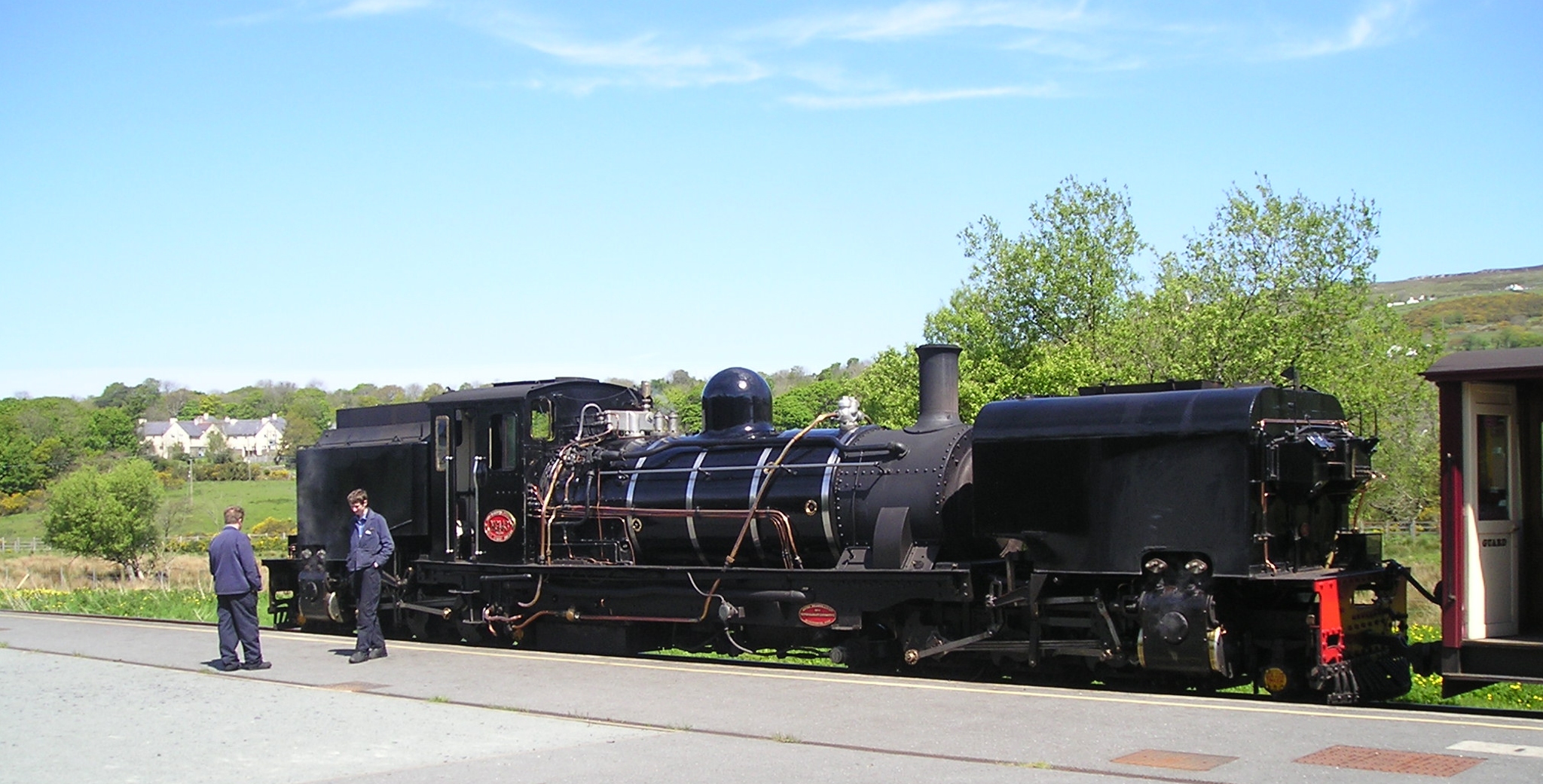
Waunfawr railway station

Waunfawr is a station on the narrow gauge Welsh Highland Railway, which was built in 1877 as the North Wales Narrow Gauge Railways Moel Tryfan Undertaking...

Tryfan Junction railway station

Tryfan Junction is a junction station on the North Wales Narrow Gauge Railways for the main line and the Bryngwyn Branch. Opened in 1877, it closed in...

Rhosgadfan

Rhosgadfan is a Welsh village in the county of Gwynedd, formerly in the historic county of Caernarfonshire, and in the community of Llanwnda. It is notable...

Betws Garmon

Betws Garmon is a community and small hamlet outside Waunfawr and near Beddgelert in Gwynedd, Wales. It has a population of 249.The summit of Snowdon...

Rhostryfan railway station

Rhostryfan railway station was the intermediate station on the Bryngwyn Branch of the North Wales Narrow Gauge Railways (NWNGR) and its successor the Welsh...

Rhostryfan

Rhostryfan is a village 4 miles from Caernarfon, in the community of Llanwnda, in the principal area of Gwynedd, Wales. In 2020 it had an estimated population...

Alexandra quarry

Alexandra quarry was a slate quarry in North Wales, on the slopes of Moel Tryfan in north Gwynedd. It was part of one of the major slate quarrying regions...

Nearby Amenities

Located within 500m of 53.107036,-4.213739
Direction: SSW
Generator Method: photovoltaic
Generator Output Electricity: yes
Generator Solar Modules: 16
Generator Source: solar
Generator Type: solar_photovoltaic_panel
Location: roof
Power: generator
Lat/Long: 53.1113935/-4.2155769
Direction: 185
Generator Method: photovoltaic
Generator Output Electricity: yes
Generator Solar Modules: 16
Generator Source: solar
Generator Type: solar_photovoltaic_panel
Location: roof
Power: generator
Lat/Long: 53.1054245/-4.2171836
The data included in this document is from www.openstreetmap.org. The data is made available under ODbL.

Have you been to Coed Cyrnant?

Leave your review of Coed Cyrnant below (or comments, questions and feedback).