Allt Gilfach'-y-rhew

Wood, Forest in Carmarthenshire

Wales

Allt Gilfach'-y-rhew

Llwybr yn gadael yr heol / Path exits the road Llwybr troed cyhoeddus yn gadael yr heol ar lethrau Mynydd Llanllwni.

A public footpath exits the road on the slopes of Mynydd Llanllwni (trans. St Llwni's parish mountain).
Llwybr yn gadael yr heol / Path exits the road Credit: Alan Richards

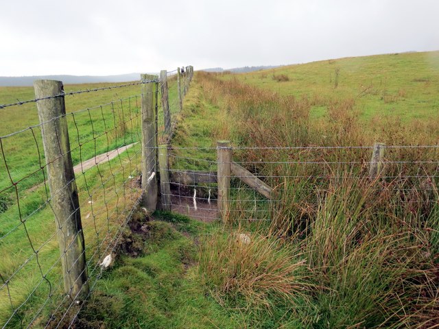
Allt Gilfach-y-rhew is a picturesque wooded area located in Carmarthenshire, Wales. Spread over an area of approximately 100 hectares, it is a haven for nature lovers and outdoor enthusiasts. The wood is situated on a steep slope, which provides breathtaking views of the surrounding countryside.

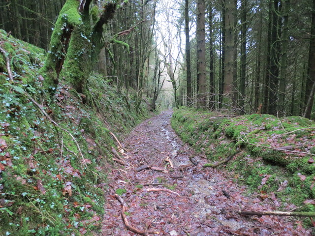
The woodland is primarily made up of oak trees, with some beech and birch trees also present. The dense canopy of these trees creates a cool and tranquil atmosphere, making it an ideal place for a peaceful walk or a picnic. The forest floor is covered with a carpet of ferns and wildflowers, adding to the beauty and diversity of the area.

Allt Gilfach-y-rhew is home to a wide variety of wildlife, including birds, mammals, and insects. Visitors may spot species such as buzzards, woodpeckers, and owls, as well as red squirrels and badgers. The wood also provides habitat for several rare and protected species, making it an important conservation area.

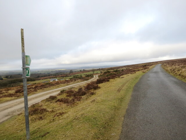
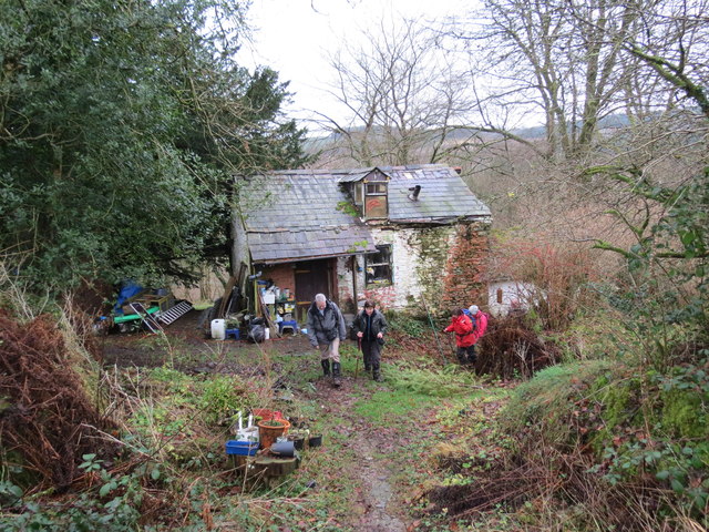
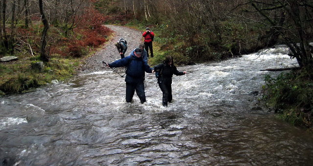
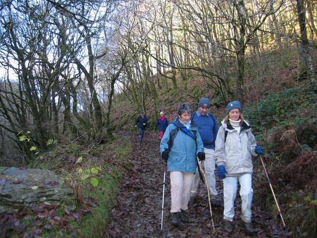
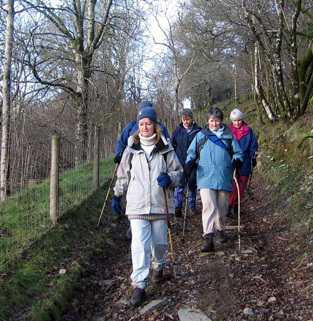
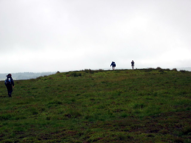
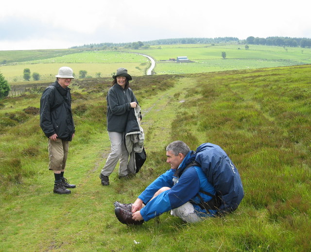
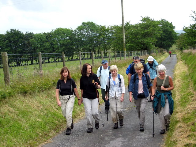
There are several walking trails that wind through Allt Gilfach-y-rhew, allowing visitors to explore the woodland at their own pace. These trails vary in difficulty, catering to both casual walkers and more experienced hikers. Interpretive signs along the paths provide information about the flora and fauna found in the area, enhancing the educational value of the visit.

Overall, Allt Gilfach-y-rhew is a magical place where nature thrives, offering visitors a peaceful retreat and a chance to connect with the natural world.

If you have any feedback on the listing, please let us know in the comments section below.

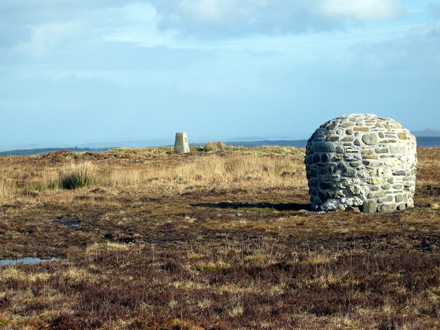
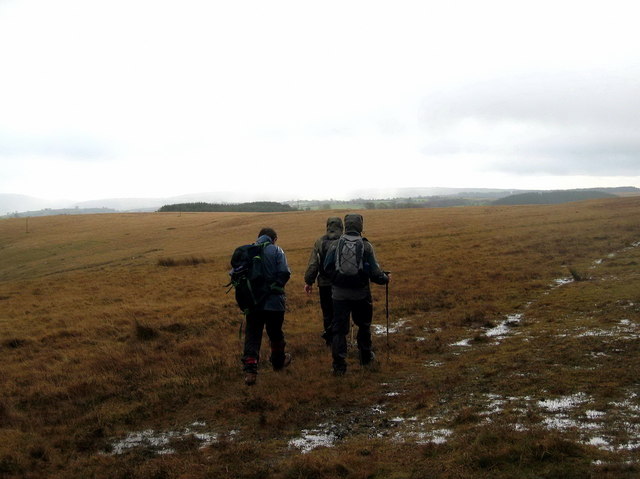
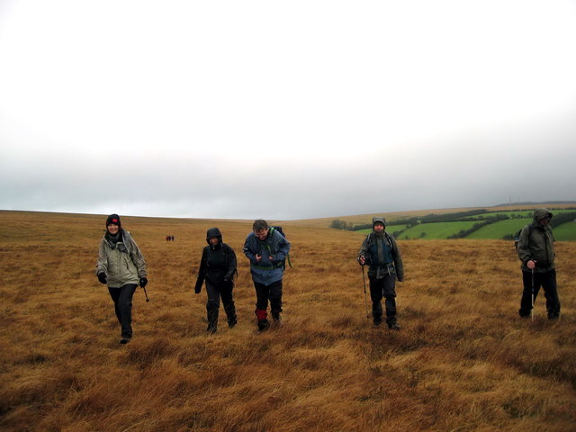
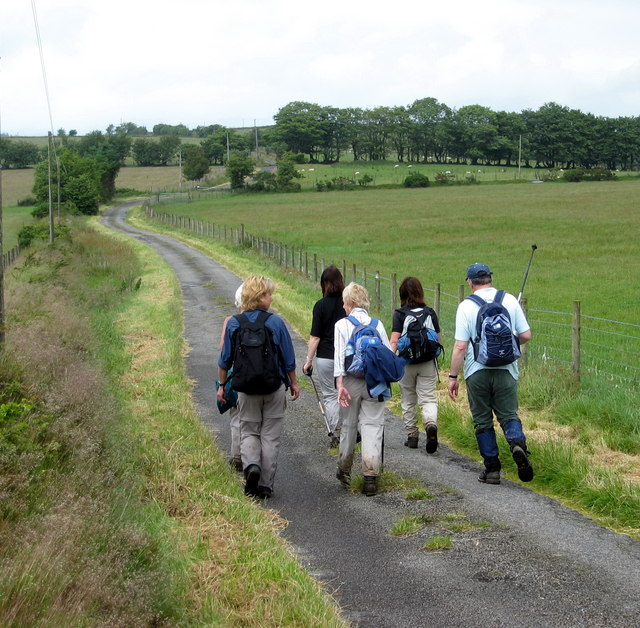
Allt Gilfach'-y-rhew Images

Images are sourced within 2km of 51.99949/-4.1647796 or Grid Reference SN5135. Thanks to Geograph Open Source API. All images are credited.

Llwybr yn gadael yr heol / Path exits the road Llwybr troed cyhoeddus yn gadael yr heol ar lethrau Mynydd Llanllwni.

A public footpath exits the road on the slopes of Mynydd Llanllwni (trans. St Llwni's parish mountain).
Llwybr yn gadael yr heol / Path exits the road
Llwybr troed cyhoeddus yn gadael yr heol ar lethrau Mynydd Llanllwni. A public footpath exits the road on the slopes of Mynydd Llanllwni (trans. St Llwni's parish mountain).
Ffarm Pantyrhyg Farm, Gwernogle Ffarm adfeiliedig Pantyrhyg / The ruined farmhouse known as Pantyrhyg
Ffarm Pantyrhyg Farm, Gwernogle
Ffarm adfeiliedig Pantyrhyg / The ruined farmhouse known as Pantyrhyg
Ordnance Survey Rivet This OS rivet can be found on a milk stand. It marks a point 308.070m above mean sea level. <a title="https://www.geograph.org.uk/photo/3792069" href="https://www.geograph.org.uk/photo/3792069">Link</a>
Ordnance Survey Rivet
This OS rivet can be found on a milk stand. It marks a point 308.070m above mean sea level. Link
Milk Stand There is an OS rivet on the top. <a title="https://www.geograph.org.uk/photo/3792068" href="https://www.geograph.org.uk/photo/3792068">Link</a>
Milk Stand
There is an OS rivet on the top. Link
Llwybr Pantyrhyg Footpath Llwybr yn mynd i lawr y waerod o Ffarm Pantyrhyg at bentre Gwernogle.

A footpath descending from Pantyrhyg Farm in the direction of Gwernogle village.
Llwybr Pantyrhyg Footpath
Llwybr yn mynd i lawr y waerod o Ffarm Pantyrhyg at bentre Gwernogle. A footpath descending from Pantyrhyg Farm in the direction of Gwernogle village.
Bwthyn Cae-dwgan Cottage Hen fwthyn o'r enw Cae-dwgan yng Nghwernogle.

Old cottage known as Cae-dwgan in Carmarthenshire.
Bwthyn Cae-dwgan Cottage
Hen fwthyn o'r enw Cae-dwgan yng Nghwernogle. Old cottage known as Cae-dwgan in Carmarthenshire.
Rhyd Afon Blotweth/ Afon Blotweth Ford Cerddwyr yn rhydio Afon Blotweth ar ol glaw trwm.

Walkers fording the swollen Blotweth Stream.
Rhyd Afon Blotweth/ Afon Blotweth Ford
Cerddwyr yn rhydio Afon Blotweth ar ol glaw trwm. Walkers fording the swollen Blotweth Stream.
Hen garn / old cairn Gweddillion hen garn o'r Oes Efydd ar Fynydd Llanfihangel Rhosycorn.

The remains of a Bronze Age cairn on Mynydd Llanfihangel Rhosycorn Mountain.
Hen garn / old cairn
Gweddillion hen garn o'r Oes Efydd ar Fynydd Llanfihangel Rhosycorn. The remains of a Bronze Age cairn on Mynydd Llanfihangel Rhosycorn Mountain.
Cwm Clydach Valley Cerddywr yn dilyn llwybr ceffyl yng Nghwm Clydach.

Walkers following a bridle path in the Clydach Valley.
Cwm Clydach Valley
Cerddywr yn dilyn llwybr ceffyl yng Nghwm Clydach. Walkers following a bridle path in the Clydach Valley.
Cwm Clydach Valley Cerddwyr yn dilyn llwybr I lawr Cwm Clydach.

Walkers descending along a bridleway in Cwm Clydach.
Cwm Clydach Valley
Cerddwyr yn dilyn llwybr I lawr Cwm Clydach. Walkers descending along a bridleway in Cwm Clydach.
Crugiau Giar Cerddwyr yn ymweld ag un o'r ddwy domen gladdu ar Fynydd Llanllwni a elwir yn 'Crugiau Giar'. 

Walkers visiting one of two Bronze Age burial mounds on Mynydd Llanllwni known as 'Crugiau Giar'
Crugiau Giar
Cerddwyr yn ymweld ag un o'r ddwy domen gladdu ar Fynydd Llanllwni a elwir yn 'Crugiau Giar'. Walkers visiting one of two Bronze Age burial mounds on Mynydd Llanllwni known as 'Crugiau Giar'
Ger / Near Esgair Garn Llwybr ar lethrau Mynydd Llanllwi ger Farm Esgair Garn.

A footpath on the slopes of Mynydd Llanllwni near Esgair Garn (trans. ridge cairn).
Ger / Near Esgair Garn
Llwybr ar lethrau Mynydd Llanllwi ger Farm Esgair Garn. A footpath on the slopes of Mynydd Llanllwni near Esgair Garn (trans. ridge cairn).
Carn Heddwch / Peace Monument Carn Heddwch ar Fynydd Llanfihangel Rhos y Corn. Codwyd y garn yn 2007 gan Brian Denman, cerflunydd ac oddi mewn iddi fe ddodwyd capan amser gan blant Ysgol Gynradd Brechfa. O amgylch y gofeb fe naddwyd y gair 'heddwch' mewn pedair iaith sef Cymraeg, Hebraeg, Arebeg a Saesneg. 

Peace Monument located on Mynydd Llanfihangel Rhos y Corn. It was constructed in 2007 by sculptor, Brian Denman and a time capsule placed within it by pupils of Brechfa Primary School. Around the cairn the word 'peace' has been carved in four languages i.e. Cymraeg (Welsh), Hebrew, Arabic and English.
Carn Heddwch / Peace Monument
Carn Heddwch ar Fynydd Llanfihangel Rhos y Corn. Codwyd y garn yn 2007 gan Brian Denman, cerflunydd ac oddi mewn iddi fe ddodwyd capan amser gan blant Ysgol Gynradd Brechfa. O amgylch y gofeb fe naddwyd y gair 'heddwch' mewn pedair iaith sef Cymraeg, Hebraeg, Arebeg a Saesneg. Peace Monument located on Mynydd Llanfihangel Rhos y Corn. It was constructed in 2007 by sculptor, Brian Denman and a time capsule placed within it by pupils of Brechfa Primary School. Around the cairn the word 'peace' has been carved in four languages i.e. Cymraeg (Welsh), Hebrew, Arabic and English.
Banc Du Cerddywr ar rostir o'r enw Banc Du.

Walkers on moorland known as Banc Du (trans. black bank)
Banc Du
Cerddywr ar rostir o'r enw Banc Du. Walkers on moorland known as Banc Du (trans. black bank)
Ger / Near Bryn Llywelyn Cerddwyr ar lethrau Bryn Du ger Ffarm Bryn Llywelyn.

Walkers on the slopes of Bryn Du (trans. black hill) near Bryn Llywelyn Farm (trans. Llywelyn's Farm)
Ger / Near Bryn Llywelyn
Cerddwyr ar lethrau Bryn Du ger Ffarm Bryn Llywelyn. Walkers on the slopes of Bryn Du (trans. black hill) near Bryn Llywelyn Farm (trans. Llywelyn's Farm)
Heol Ffarm Penygarreg Farm Road Cerddwyr yn dilyn yr heol o Ffarm Penygarreg tuag at dreflan Llitiard Nenog.

Walkers following the road from Penygarreg Farm towards the hamlet of Llitiart Nenog.
Heol Ffarm Penygarreg Farm Road
Cerddwyr yn dilyn yr heol o Ffarm Penygarreg tuag at dreflan Llitiard Nenog. Walkers following the road from Penygarreg Farm towards the hamlet of Llitiart Nenog.
Ger / Near Ffarm Blotweth Farm Cerddwyr yn dilyn yr heol o Ffarm Penygarreg i dreflan Llidiard Nenog.

Walkers following the road from Penygarreg (trans. top of the stone / rock) in the direction of Llidiard Nenog (trans. heavenly gate?).
Ger / Near Ffarm Blotweth Farm
Cerddwyr yn dilyn yr heol o Ffarm Penygarreg i dreflan Llidiard Nenog. Walkers following the road from Penygarreg (trans. top of the stone / rock) in the direction of Llidiard Nenog (trans. heavenly gate?).
Llwybr Salach Path Angen sticil ar lwybr cyhoeddus ger Ffarm Salach.

A stile is required on a public footpath near Salach Farm.
Llwybr Salach Path
Angen sticil ar lwybr cyhoeddus ger Ffarm Salach. A stile is required on a public footpath near Salach Farm.
Show me another place!

Allt Gilfach'-y-rhew is located at Grid Ref: SN5135 (Lat: 51.99949, Lng: -4.1647796)

Unitary Authority: Carmarthenshire

Police Authority: Dyfed Powys

What 3 Words

///later.transfers.sandpaper. Near Pencader, Carmarthenshire

Nearby Locations

Allt Gilfach'-y-rhew

Related Wikis

Brechfa Forest Wind Farm

Brechfa Forest West Wind Farm is a wind farm in Brechfa Forest in Carmarthenshire in south west Wales. Construction of the wind farm began in November...

Brechfa Forest

The Brechfa Forest is a forest in Carmarthenshire, south Wales. Brechfa Forest is the 'modern' name for part of the ancient Glyn Cothi Forest. From before...

Gwernogle

Gwernogle is an isolated hamlet in Carmarthenshire, Wales, nestled in the Brechfa Forest. The Ty Cwrdd Welsh Independent Chapel is situated in the hamlet...

Llanfihangel Rhos-y-Corn

Llanfihangel Rhos-y-Corn is a sparsely populated community of Carmarthenshire, Wales. The population of the community taken at the 2011 census was 468...

Have you been to Allt Gilfach'-y-rhew?

Leave your review of Allt Gilfach'-y-rhew below (or comments, questions and feedback).