Wern-halog Wood

Wood, Forest in Glamorgan

Wales

Wern-halog Wood

Causeway crossing Llanrhidian Marsh Causeway crossing the eastern edge of Llanrhidian Marsh. The debris in the foreground suggests a recent high tide. Pwll is visible across the Loughor (Llwchwr) estuary.
Causeway crossing Llanrhidian Marsh Credit: Steve Rigg

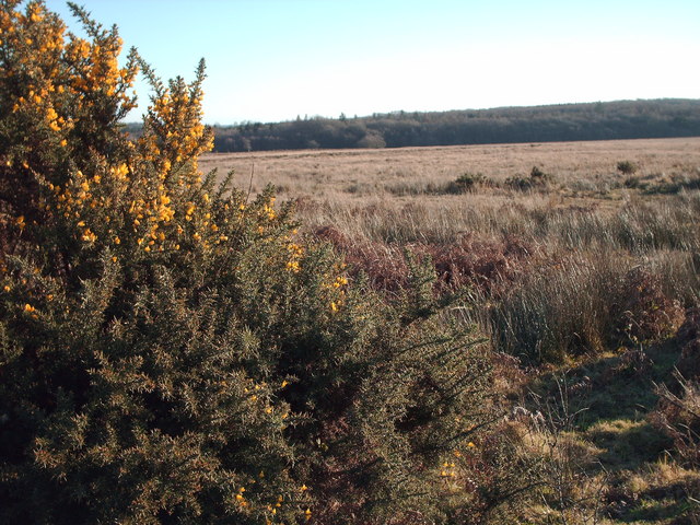
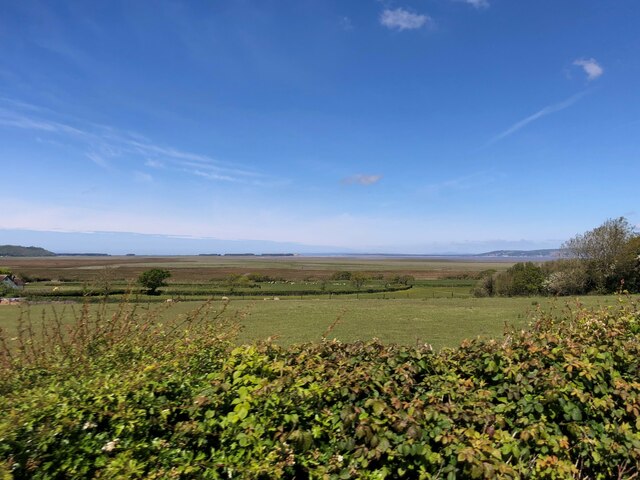
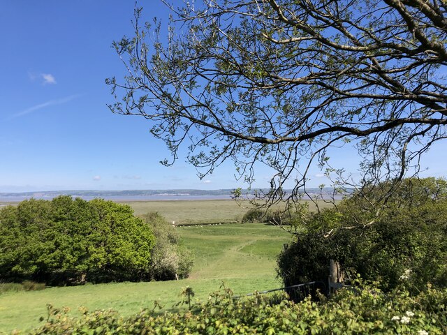
Wern-halog Wood, located in Glamorgan, Wales, is a picturesque forest known for its natural beauty and diverse wildlife. Covering an area of approximately 500 acres, this woodland offers a tranquil escape for nature lovers and outdoor enthusiasts alike.

The forest is predominantly composed of mature broadleaf trees, including oak, beech, and chestnut, which form a dense canopy that provides shade and shelter. These trees create a vibrant and ever-changing landscape throughout the seasons, with vibrant green foliage in the spring and a stunning array of colors in the autumn.

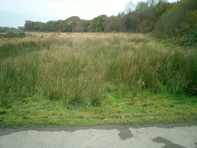
Wern-halog Wood is home to a rich variety of flora and fauna. The forest floor is carpeted with an array of wildflowers, including bluebells, primroses, and wood anemones, which bloom in the spring and add a splash of color to the woodland. The presence of these flowers attracts a diverse range of insects, butterflies, and birds, making it an ideal spot for birdwatching and nature photography.

Walking trails and footpaths wind through the wood, allowing visitors to explore its natural wonders at their own pace. These paths lead to hidden streams, tranquil ponds, and small waterfalls, adding to the enchanting atmosphere of the forest.

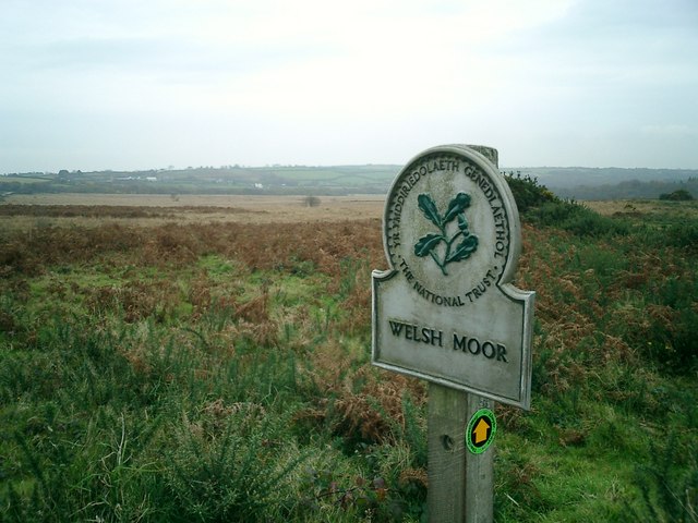
Wern-halog Wood is also a designated nature reserve, emphasizing the importance of its conservation and protection. The local authorities work diligently to maintain the forest's ecological balance and ensure that it remains a haven for wildlife.

Overall, Wern-halog Wood offers a peaceful retreat from the bustle of everyday life, providing visitors with a chance to immerse themselves in the beauty of nature and experience the wonders of this magical woodland.

If you have any feedback on the listing, please let us know in the comments section below.

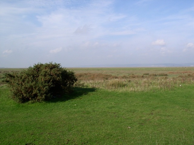
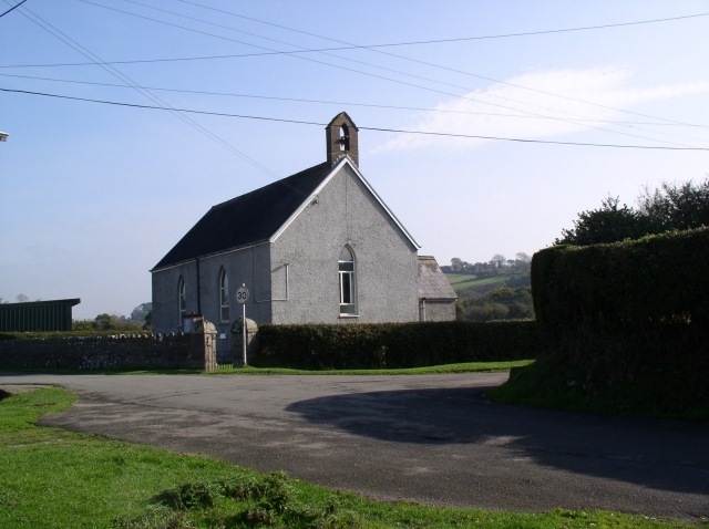
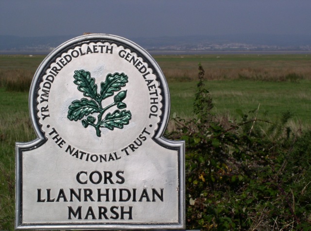
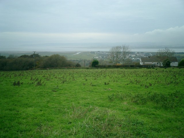
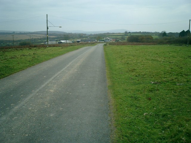
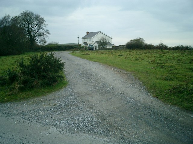
Wern-halog Wood Images

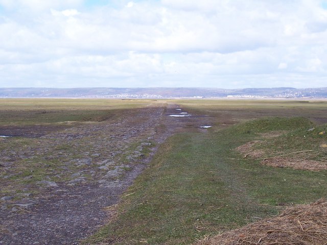
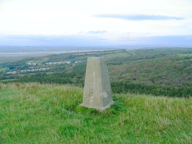
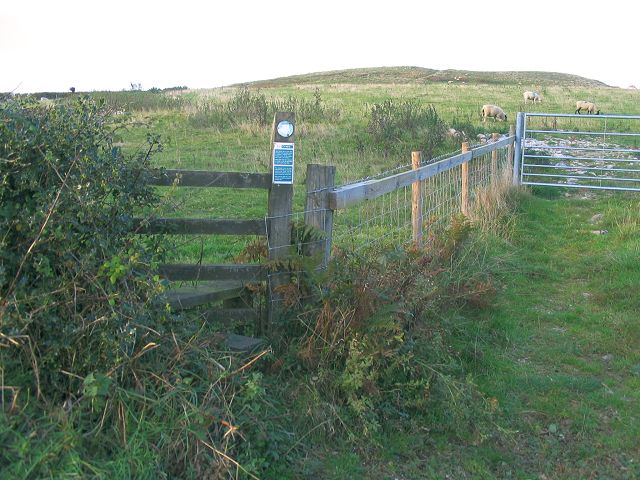
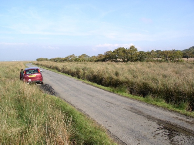
Images are sourced within 2km of 51.616913/-4.1476604 or Grid Reference SS5193. Thanks to Geograph Open Source API. All images are credited.

Causeway crossing Llanrhidian Marsh Causeway crossing the eastern edge of Llanrhidian Marsh. The debris in the foreground suggests a recent high tide. Pwll is visible across the Loughor (Llwchwr) estuary.
Causeway crossing Llanrhidian Marsh
Causeway crossing the eastern edge of Llanrhidian Marsh. The debris in the foreground suggests a recent high tide. Pwll is visible across the Loughor (Llwchwr) estuary.
Trig pillar  on Cilifor Top Cilifor Top is a small hill with steep slopes on all sides except for the south approach. It used to be a fort and you can still see where a bank has been built up on the southwest edge to augment the natural defences.
Now this trig point is the only construction on the grazing land. It offers an exceptional panorama - taking in the hills at the northwest of the gower peninsula, around through Carmarthen Bay, the Llanelli coastline, Loughor estuary and mountains in the Beacons national park.
Despite the absence of any markings on the OS 25k & 50k maps, there is a permissive path onto this hill.
Trig pillar on Cilifor Top
Cilifor Top is a small hill with steep slopes on all sides except for the south approach. It used to be a fort and you can still see where a bank has been built up on the southwest edge to augment the natural defences. Now this trig point is the only construction on the grazing land. It offers an exceptional panorama - taking in the hills at the northwest of the gower peninsula, around through Carmarthen Bay, the Llanelli coastline, Loughor estuary and mountains in the Beacons national park. Despite the absence of any markings on the OS 25k & 50k maps, there is a permissive path onto this hill.
Permissive path onto Cilifor Top Not marked on the OS maps, there is a permissive path allowing a short walk north to the hill from the road that passes south of it.
Permissive path onto Cilifor Top
Not marked on the OS maps, there is a permissive path allowing a short walk north to the hill from the road that passes south of it.
Llanrhidian Marsh road
Llanrhidian Marsh
Llanrhidian Marsh
St David's Church, Gwernffrwd The Ordnance Survey map shows this place as 'Wernffrwd', but the noticeboard outside the church shows 'Gwernffrwd'.
St David's Church, Gwernffrwd
The Ordnance Survey map shows this place as 'Wernffrwd', but the noticeboard outside the church shows 'Gwernffrwd'.
Llanrhidian Marsh
Llanrhidian Marsh
View across Loughor estuary towards Llanelli
Bryn farm from the road
Moor from track leading to Welsh Moor Farm
View across Welsh Moor from road
Woodfield House
Woodfield House
Cillibion Plantation from Welsh Moor Early Flowering Gorse and rough grassy moorland surround Cillibion Forest Plantation on a quiet plateau in the middle of Gower peninsula on Boxing Day 2008.
Cillibion Plantation from Welsh Moor
Early Flowering Gorse and rough grassy moorland surround Cillibion Forest Plantation on a quiet plateau in the middle of Gower peninsula on Boxing Day 2008.
Cilibion Sawmill
Cilibion Sawmill
North Road Service Station, Cilibion
Lay-by on the road to Reynoldston This minor road goes through Cefn Bryn Common, a Special Area of Conservation. It is a five-mile long ridge of common land known as the "backbone of Gower".
Lay-by on the road to Reynoldston
This minor road goes through Cefn Bryn Common, a Special Area of Conservation. It is a five-mile long ridge of common land known as the "backbone of Gower".
Looking west from the 4295 Just beyond the fields is a vast area of salt marsh and then the estuary of the River Loughor.
Looking west from the 4295
Just beyond the fields is a vast area of salt marsh and then the estuary of the River Loughor.
Field and salt marsh near Wernffrwd Over the estuary are Llanelli and Burry Port
Field and salt marsh near Wernffrwd
Over the estuary are Llanelli and Burry Port
Show me another place!

Wern-halog Wood is located at Grid Ref: SS5193 (Lat: 51.616913, Lng: -4.1476604)

Unitary Authority: Swansea

Police Authority: South Wales

What 3 Words

///indulgent.bottled.blankets. Near Crofty, Swansea

Nearby Locations

Wern-halog Wood Llan-Elen

Related Wikis

Gower (UK Parliament constituency)

Gower (Welsh: Gŵyr) is a constituency created in 1885 and represented in the House of Commons of the UK Parliament by one Member of Parliament (MP). Tonia...

Lordship of Gower

Gower was an ancient marcher lordship of Deheubarth in South Wales. == Creation of Lordship == Prior to the Norman invasion, the district was the commote...

Gower (Senedd constituency)

Gower (Welsh: Gŵyr) is a constituency of the Senedd. It elects one Member of the Senedd by the first past the post method of election. It is also one of...

Wernffrwd

Wernffrwd (Gwernffrwd) is a village in the south of Wales. It is located approximately 8.5 miles (13.7 km) from Swansea, and is within the Community of...

Nearby Amenities

Located within 500m of 51.616913,-4.1476604
Power: pole
Lat/Long: 51.6193003/-4.1523348
Power: pole
Lat/Long: 51.6195788/-4.1518773
Power: pole
Lat/Long: 51.6201932/-4.1499952
Power: pole
Lat/Long: 51.6205566/-4.1488641
The data included in this document is from www.openstreetmap.org. The data is made available under ODbL.

Have you been to Wern-halog Wood?

Leave your review of Wern-halog Wood below (or comments, questions and feedback).