Allt y Graig

Wood, Forest in Carmarthenshire

Wales

Allt y Graig

Holy Trinity Church near Pontargothi On the north side of the quiet Cothi valley, over a kilometre upstream from the village of Pontargothi along narrow back roads, lies this church in quite spacious grounds.
Holy Trinity Church near Pontargothi Credit: Nigel Davies

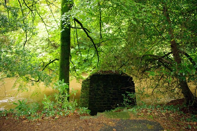
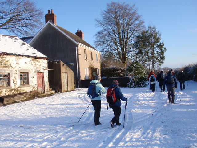
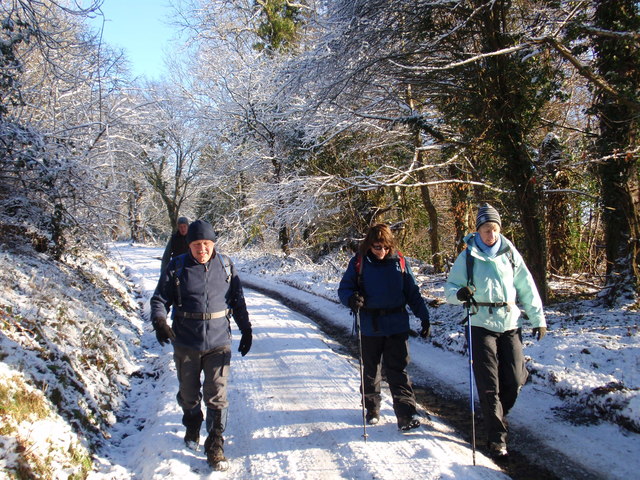
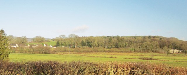
Allt y Graig is a picturesque wood located in the county of Carmarthenshire, Wales. Spanning approximately 20 acres, this forested area is nestled within the stunning countryside landscape, offering visitors a tranquil and enchanting retreat.

The wood is characterized by its rich biodiversity, featuring a diverse range of flora and fauna. The canopy of towering trees provides a habitat for a variety of bird species, including woodpeckers, owls, and songbirds. The forest floor is adorned with a vibrant carpet of wildflowers, ferns, and mosses, creating a captivating display of colors and textures.

Visitors to Allt y Graig can explore the woodland through a network of well-maintained footpaths and trails. These paths meander through the wood, allowing visitors to immerse themselves in the natural beauty and serenity of the surroundings. The sound of trickling streams and the scent of pine fills the air, contributing to the overall sense of tranquility.

Additionally, the wood offers opportunities for recreational activities such as hiking, birdwatching, and nature photography. Picnic areas are scattered throughout the forest, providing a perfect spot for visitors to enjoy a packed lunch amidst the peaceful ambiance.

Allt y Graig is easily accessible, with ample parking available for visitors. The wood is open to the public year-round, offering a serene and rejuvenating escape from the hustle and bustle of daily life. Whether it's for a leisurely stroll, a family outing, or a moment of solitude, Allt y Graig is a captivating destination for nature enthusiasts seeking solace in the beauty of the Welsh countryside.

If you have any feedback on the listing, please let us know in the comments section below.
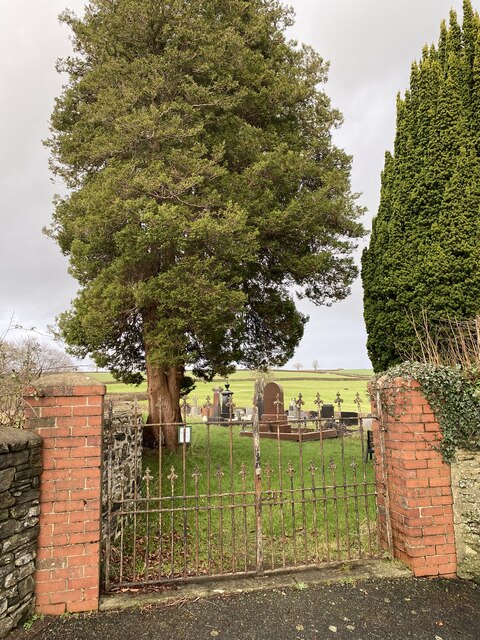
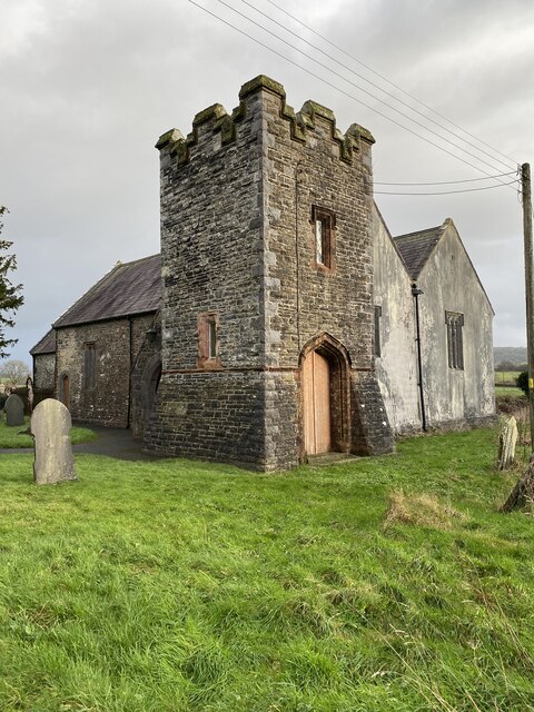
Allt y Graig Images

Images are sourced within 2km of 51.884134/-4.1619481 or Grid Reference SN5122. Thanks to Geograph Open Source API. All images are credited.

Holy Trinity Church near Pontargothi On the north side of the quiet Cothi valley, over a kilometre upstream from the village of Pontargothi along narrow back roads, lies this church in quite spacious grounds.
Holy Trinity Church near Pontargothi
On the north side of the quiet Cothi valley, over a kilometre upstream from the village of Pontargothi along narrow back roads, lies this church in quite spacious grounds.
Lychgate, Holy Trinity Church This is the gate at <a href="https://www.geograph.org.uk/photo/2714525">SN5022 : Holy Trinity Church near Pontargothi</a>
Lychgate, Holy Trinity Church
Pont-ar-Gothi, bridge over River Cothi
A40 lane junction east of Pont-ar-Gothi
Another missing Carmarthenshire footbridge This is one of 44 bridges in the county in need of replacement, and another example of the shocking state of public footpaths in Carmarthenshire
Another missing Carmarthenshire footbridge
This is one of 44 bridges in the county in need of replacement, and another example of the shocking state of public footpaths in Carmarthenshire
The Cresselly Arms, Pont-ar-Gothi A well known and long established roadside hostelry.
The Cresselly Arms, Pont-ar-Gothi
A well known and long established roadside hostelry.
The River Cothi at Pont-ar-gothi From the garden of the Cresselly Arms.
The River Cothi at Pont-ar-gothi
From the garden of the Cresselly Arms.
Capel Sitim Chapel Sitim, Capel y Bedyddwyr yn Felingwm Isaf. Fe'i codwyd yn gyntaf yn 1817 ac fe'i hailadeiladwyd yn 1848. Mae'r addoldy presennol yn dyddio o 1874.

Sitim Baptist Chapel in Felingwm Isaf (trans. lower mill valley). The first meeting house was built in 1817 and it was rebuilt in 1848. The present chapel dates from 1874.
Capel Sitim Chapel
Sitim, Capel y Bedyddwyr yn Felingwm Isaf. Fe'i codwyd yn gyntaf yn 1817 ac fe'i hailadeiladwyd yn 1848. Mae'r addoldy presennol yn dyddio o 1874. Sitim Baptist Chapel in Felingwm Isaf (trans. lower mill valley). The first meeting house was built in 1817 and it was rebuilt in 1848. The present chapel dates from 1874.
Ffarm Llwch Gwyn Farm Cerddwyr yn mynd heibio i Ffarm Llwchgwyn wrth iddynt anelu at bentre Llanegwad.

Walkers passing Llwchgwyn Farm (trans. fair pond / lake?) on route to the village of Llanegwad (St Egwad's Church).
Ffarm Llwch Gwyn Farm
Cerddwyr yn mynd heibio i Ffarm Llwchgwyn wrth iddynt anelu at bentre Llanegwad. Walkers passing Llwchgwyn Farm (trans. fair pond / lake?) on route to the village of Llanegwad (St Egwad's Church).
Heol Alltyferin Road Cerddwyr yn dilyn llwybr cyhoeddus i bentre Pontargothi. Mae'r heol yn arwain at gyn Plasty Allyferin.


Walkers following a public footpath to Pontargothi (trans. bridge on the Cothi river). The way is an access road to the former Alltyferin Mansion.
Heol Alltyferin Road
Cerddwyr yn dilyn llwybr cyhoeddus i bentre Pontargothi. Mae'r heol yn arwain at gyn Plasty Allyferin. Walkers following a public footpath to Pontargothi (trans. bridge on the Cothi river). The way is an access road to the former Alltyferin Mansion.
Milestone - Nantgaredig 1
Milestone - Llandeilo 9
Ordnance Survey Cut Mark This OS cut mark can be found on the east face of St Egwad's Church. It marks a point 20.203m above mean sea level. <a title="https://www.geograph.org.uk/photo/4369353" href="https://www.geograph.org.uk/photo/4369353">Link</a>
Ordnance Survey Cut Mark
This OS cut mark can be found on the east face of St Egwad's Church. It marks a point 20.203m above mean sea level. Link
St Egwad's Church There is an Ordnance Survey cut mark on the east face. <a title="https://www.geograph.org.uk/photo/4369350" href="https://www.geograph.org.uk/photo/4369350">Link</a>
St Egwad's Church
There is an Ordnance Survey cut mark on the east face. Link
The Salutation, Pont-ar-Gothi A pub beside the A40.
The Salutation, Pont-ar-Gothi
A pub beside the A40.
Fields east of Pont-ar-Gothi From the A40. The buildings, including the farm at Cilarddu on the right, are in <a href="https://www.geograph.org.uk/gridref/SN5122">SN5122</a>.
Fields east of Pont-ar-Gothi
From the A40. The buildings, including the farm at Cilarddu on the right, are in SN5122.
Cemetery gates, Llanegwad
Llanegwad church Church of St Egwad, a minor 7th century Welsh Saint.
Llanegwad church
Church of St Egwad, a minor 7th century Welsh Saint.
Show me another place!

Allt y Graig is located at Grid Ref: SN5122 (Lat: 51.884134, Lng: -4.1619481)

Unitary Authority: Carmarthenshire

Police Authority: Dyfed Powys

What 3 Words

///scatters.elbowed.protests. Near Llanddarog, Carmarthenshire

Related Wikis

Pont-ar-Gothi

Pont-ar-gothi (otherwise Pontargothi or Cothi Bridge) is a village in Carmarthenshire, West Wales. The village takes its name from the bridge where the...

Llanegwad

Llanegwad () is a village and community located in Carmarthenshire, Wales. The population taken at the 2011 census was 1,473.Llanegwad is built up mainly...
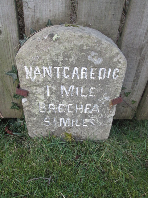
Nantgaredig

Nantgaredig is a village in Carmarthenshire, Wales. It is about 4 miles (6.4 km) east of the county town of Carmarthen on the A40 in the parish of Llanegwad...
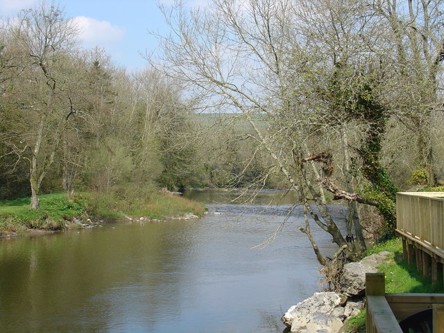
Afon Cothi

The Afon Cothi (also known as the River Cothy) in Carmarthenshire is the largest tributary of the River Tywi in south Wales. From its source at Blaen Cothi...

Have you been to Allt y Graig?

Leave your review of Allt y Graig below (or comments, questions and feedback).