Dingle Covert

Wood, Forest in Caernarfonshire

Wales

Dingle Covert

Bridge over the Y Felinheli Bypass near Carreg Goch
Bridge over the Y Felinheli Bypass near Carreg Goch Credit: David Dixon

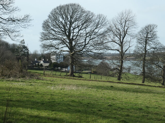
Dingle Covert, located in Caernarfonshire, is a picturesque wood situated in the northwest region of Wales. This enchanting forest is nestled within the Snowdonia National Park, offering visitors a captivating and serene natural retreat.

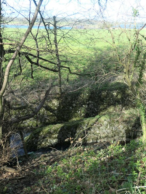
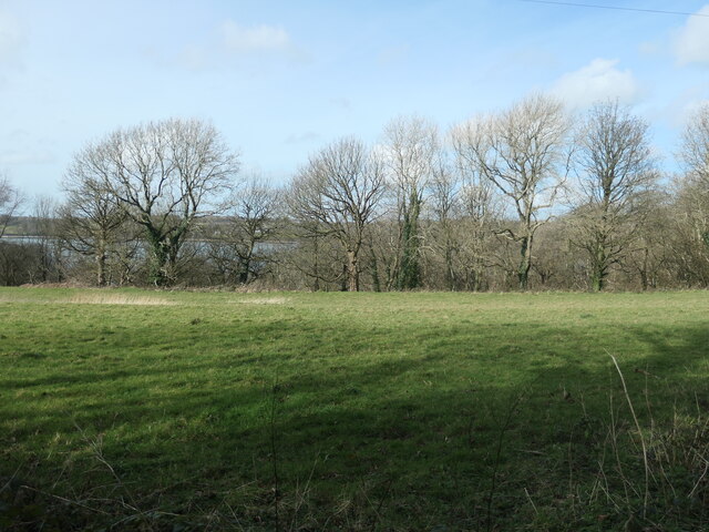
Covering an expansive area of lush greenery, Dingle Covert boasts a diverse range of tree species, including oak, beech, and pine, which together create a rich and vibrant ecosystem. The forest floor is adorned with a carpet of moss and ferns, adding to its enchanting atmosphere.

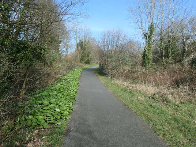
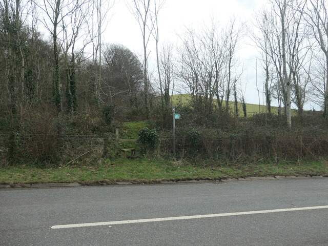
The woodland is crisscrossed by a network of well-maintained footpaths, allowing visitors to explore its beauty at their own pace. These paths wind through the trees, offering glimpses of charming clearings and babbling brooks along the way. The tranquil ambiance is heightened by the symphony of bird songs that fill the air, making Dingle Covert a haven for birdwatchers.

The forest is also home to a diverse array of wildlife, including deer, foxes, and rabbits, providing nature enthusiasts with ample opportunities for observation and photography. The surrounding mountains and hills further contribute to the breathtaking scenery, with stunning vistas and panoramic views.

Dingle Covert is a popular destination for outdoor activities such as hiking, picnicking, and nature walks. It offers a peaceful escape for those seeking solitude and tranquility amidst the beauty of nature. Whether it's a leisurely stroll through the woodlands or a more adventurous hike up the nearby peaks, Dingle Covert offers something for everyone, making it a must-visit destination for nature lovers and explorers alike.

If you have any feedback on the listing, please let us know in the comments section below.

Dingle Covert Images

Images are sourced within 2km of 53.16487/-4.2398896 or Grid Reference SH5065. Thanks to Geograph Open Source API. All images are credited.
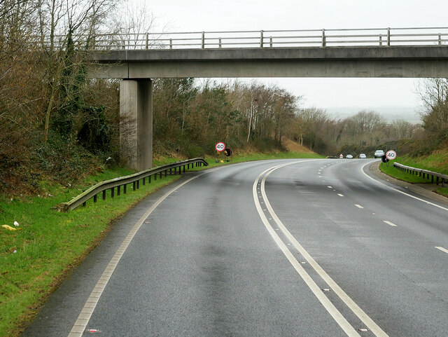
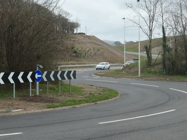
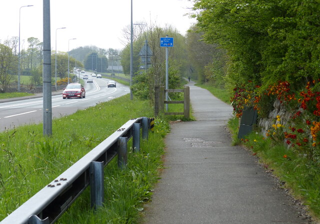
Bridge over the Y Felinheli Bypass near Carreg Goch
A487 at Plas Menai Roundabout Roadworks at the Plas Menai Roundabout as the diversion to the A487 (the new Caernarfon to Bontnewydd bypass <span class="nowrap"><a title="https://gov.wales/a487-caernarfon-bontnewydd-bypass" rel="nofollow ugc noopener" href="https://gov.wales/a487-caernarfon-bontnewydd-bypass">Link</a><img style="margin-left:2px;" alt="External link" title="External link - shift click to open in new window" src="https://s1.geograph.org.uk/img/external.png" width="10" height="10"/></span> ) is nearing completion (it would be opened later in the week).
A487 at Plas Menai Roundabout
Roadworks at the Plas Menai Roundabout as the diversion to the A487 (the new Caernarfon to Bontnewydd bypass LinkExternal link ) is nearing completion (it would be opened later in the week).
Open-sided barn, Parciau Farm Above some holiday cottages and the road to Caernarfon.
Open-sided barn, Parciau Farm
Above some holiday cottages and the road to Caernarfon.
This way to Griffiths Crossing and Caernarfon Lon Las Menai, heading south-west. Built on the track bed of the former railway between Bangor and Caernarfon.
This way to Griffiths Crossing and Caernarfon
Lon Las Menai, heading south-west. Built on the track bed of the former railway between Bangor and Caernarfon.
Unknown structures in a stream bed At the downstream end of a culvert under the former Bangor - Caernarfon railway.
Unknown structures in a stream bed
At the downstream end of a culvert under the former Bangor - Caernarfon railway.
Gash in the hillside, below Bryn Covert The northern end of the new Caernarfon and Bontnewydd by-pass.
Gash in the hillside, below Bryn Covert
The northern end of the new Caernarfon and Bontnewydd by-pass.
A487, old and new In the foreground, the old A487 from Y Felinheli to Caernarfon [now the A4871]. Cutting through the hillside, the new A487 from Y Felinheli, bypassing both Caernarfon and Bontnewydd.
A487, old and new
In the foreground, the old A487 from Y Felinheli to Caernarfon [now the A4871]. Cutting through the hillside, the new A487 from Y Felinheli, bypassing both Caernarfon and Bontnewydd.
Lon Las Menai, near Llanfair Hall Farm The end of a short stretch along the pavement of Ffordd Caernarfon / Caernarfon Road.
Lon Las Menai, near Llanfair Hall Farm
The end of a short stretch along the pavement of Ffordd Caernarfon / Caernarfon Road.
The southern edge of Llanfair Wood Descending to the shore of the Menai Straits.
The southern edge of Llanfair Wood
Descending to the shore of the Menai Straits.
Trees along a field boundary, near Plas Llanfair Seen from Lon Las Menai.
Trees along a field boundary, near Plas Llanfair
Seen from Lon Las Menai.
Lon Las Menai, nearing Y Felinheli A recreational route built on the trackbed of the former Caernarfon - Bangor railway.
Lon Las Menai, nearing Y Felinheli
A recreational route built on the trackbed of the former Caernarfon - Bangor railway.
Public footpath heading south-east towards Bethel On the south side of Caernarfon Road, near Llanfair Hall Farm.
Public footpath heading south-east towards Bethel
On the south side of Caernarfon Road, near Llanfair Hall Farm.
An entrance to Llanfair Hall Farm On the north side of Caernarfon Road.
An entrance to Llanfair Hall Farm
On the north side of Caernarfon Road.
The A487, just west of Y Felinheli The new road descends to the roundabout at the western end of the Y Felinheli bypass.
The A487, just west of Y Felinheli
The new road descends to the roundabout at the western end of the Y Felinheli bypass.
A487 Caernarfon by-pass Heading west towards the Lleyn peninsula. The road opened in early 2022, ahead of schedule
A487 Caernarfon by-pass
Heading west towards the Lleyn peninsula. The road opened in early 2022, ahead of schedule
A487 Caernarfon by-pass Going down to one lane heading west
A487 Caernarfon by-pass
Going down to one lane heading west
Caernarfon Road in Y Felinheli
National Cycle Route 8 along the A4871 Caernarfon Road Route 8 of the National Cycle Network, also known as Lôn Las Cymru, runs for 436km (271 miles) between Cardiff and Holyhead via Brecon, Builth Wells, Machynlleth, Porthmadog and Bangor.  Between Machynlleth and Porthmadog there are alternative routes - one coastal, the other inland via Dolgellau, Coed y Brenin and Trawsfynydd.
National Cycle Route 8 along the A4871 Caernarfon Road
Route 8 of the National Cycle Network, also known as Lôn Las Cymru, runs for 436km (271 miles) between Cardiff and Holyhead via Brecon, Builth Wells, Machynlleth, Porthmadog and Bangor. Between Machynlleth and Porthmadog there are alternative routes - one coastal, the other inland via Dolgellau, Coed y Brenin and Trawsfynydd.
Show me another place!

Dingle Covert is located at Grid Ref: SH5065 (Lat: 53.16487, Lng: -4.2398896)

Unitary Authority: Gwynedd

Police Authority: North Wales

What 3 Words

///scavenger.products.brushing. Near Caernarfon, Gwynedd

Nearby Locations

Bryn Covert Dingle Covert

Related Wikis

Griffith's Crossing railway station

Griffith's Crossing railway station was a former railway station located on the Bangor and Carnarvon Railway about a mile and a half south west of Port...

Llanfair-is-gaer

Llanfair-is-gaer was an ecclesiastical parish in Caernarfon, Gwynedd: the parish church was St Mary's. == References ==

Old Church of St Nidan, Llanidan

The Old Church of St Nidan, Llanidan is a medieval church in the community of Llanidan, in Anglesey, North Wales, close to the Menai Strait. The first...

Menai Strait

The Menai Strait (Welsh: Afon Menai, lit. 'River Menai') is a strait which separates the island of Anglesey from Gwynedd, on the mainland of Wales. It...

Nearby Amenities

Located within 500m of 53.16487,-4.2398896
Power: pole
Lat/Long: 53.1643169/-4.242348
Power: pole
Lat/Long: 53.1638469/-4.2448932
Power: pole
Lat/Long: 53.1639872/-4.2404303
Power: pole
Lat/Long: 53.1642087/-4.2443675
Power: pole
Lat/Long: 53.1604055/-4.240489
Power: pole
Lat/Long: 53.1631212/-4.2426377
Power: pole
Lat/Long: 53.1636664/-4.2430749
Location Transition: yes
Power: pole
Lat/Long: 53.1644061/-4.243657
Power: pole
Lat/Long: 53.1624619/-4.2379734
Location Transition: yes
Power: pole
Lat/Long: 53.1645251/-4.2435416
Power: pole
Lat/Long: 53.1615404/-4.2385527
Power: pole
Lat/Long: 53.1616739/-4.2415085
Power: pole
Lat/Long: 53.1630054/-4.2462158
Power: pole
Lat/Long: 53.1633403/-4.2456737
Power: pole
Lat/Long: 53.1605788/-4.239116
Power: pole
Lat/Long: 53.1637659/-4.2390363
Power: pole
Lat/Long: 53.1623783/-4.242053
Griffiths' Crossing
Name Cy: Croesfan Griffiths
Place: hamlet
Lat/Long: 53.1669719/-4.2418182
Parciau
Building: yes
Lat/Long: 53.1653726/-4.2414258
Bus Stop
Bus: yes
Public Transport: platform
Shelter: no
Lat/Long: 53.1648453/-4.2434078
Bus Stop
Bus: yes
Naptan AtcoCode: 5400AWN26189
Naptan NaptanCode: gwnpmtm
Public Transport: platform
Shelter: no
Lat/Long: 53.1652392/-4.2430645
Power: substation
Lat/Long: 53.163111/-4.241478
Griffith's Crossing
Historic Railway: station
Railway: site
Wikidata: Q23073533
Wikipedia: en:Griffith's Crossing railway station
Lat/Long: 53.167524/-4.2389826
Griffith's Crossing
Historic Railway: level_crossing
Lat/Long: 53.1676818/-4.2386032
The data included in this document is from www.openstreetmap.org. The data is made available under ODbL.

Have you been to Dingle Covert?

Leave your review of Dingle Covert below (or comments, questions and feedback).