Allt Cwmerthig
Wood, Forest in Cardiganshire
Wales
Allt Cwmerthig

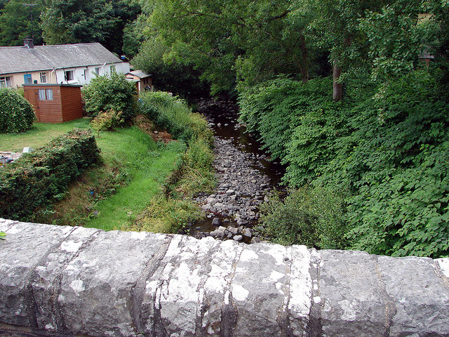
Allt Cwmerthig is a picturesque woodland area located in Cardiganshire, Wales. Covering an area of approximately 200 acres, it is nestled in the beautiful countryside, surrounded by rolling hills and meandering rivers.
The woodland is predominantly made up of native tree species, including oak, beech, and birch trees. These trees provide a lush canopy, creating a serene and tranquil atmosphere within the forest. The ground beneath is covered with a carpet of moss, ferns, and wildflowers, adding to the natural beauty of the area.
Allt Cwmerthig is home to a diverse range of wildlife. Visitors may catch glimpses of native birds such as woodpeckers and thrushes, as well as small mammals like foxes and badgers. The forest also provides a habitat for various species of insects and amphibians.
The woodland is crisscrossed with a network of walking trails, allowing visitors to explore and enjoy the natural surroundings. These paths are well-maintained and signposted, making it easy for visitors to navigate through the forest. Along the trails, there are occasional benches and picnic spots, providing opportunities for rest and relaxation.
Allt Cwmerthig is a popular destination for nature lovers, hikers, and photographers. Its scenic beauty and peaceful ambiance make it an ideal place to escape the hustle and bustle of everyday life. Whether it's a leisurely stroll or an adventurous hike, a visit to Allt Cwmerthig is sure to rejuvenate the mind and reconnect with nature.
If you have any feedback on the listing, please let us know in the comments section below.
Allt Cwmerthig Images
Images are sourced within 2km of 52.238596/-4.1980048 or Grid Reference SN5062. Thanks to Geograph Open Source API. All images are credited.


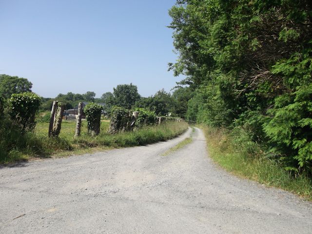


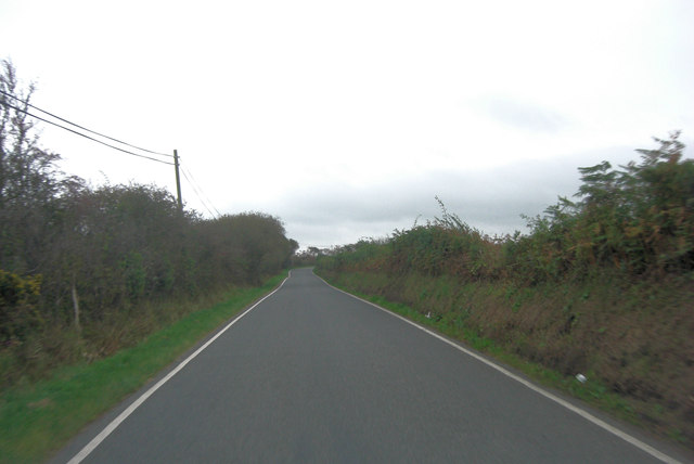


![Esgair Arth Llwybr cyhoeddus dymunol ger Ffarm Esgair Arth.
A pleasant public footpath near Esgair Arth Farm (trans [river] Arth ridge).](https://s3.geograph.org.uk/geophotos/04/10/25/4102543_c916ecd4.jpg)
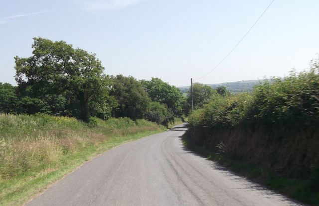
![Llwybr Esgair Arth Path Llwybr cyhoeddus yn arwain o Ffarm Esgair Arth i gyfeiriad pentre glan mor Aberarth.
A public footpath leading from Esagir Arth Farm ([river] Arth ridge) in the direction of the seaside village of Aberarth (trans. mouth of the river Arth).](https://s0.geograph.org.uk/geophotos/04/10/25/4102568_e06f4489.jpg)

Allt Cwmerthig is located at Grid Ref: SN5062 (Lat: 52.238596, Lng: -4.1980048)
Unitary Authority: Ceredigion
Police Authority: Dyfed Powys
What 3 Words
///evolution.recline.camper. Near Aberaeron, Ceredigion
Nearby Locations
Related Wikis

Dinerth Castle
The Castle of Dinerth (Welsh: Castell Dineirth, Castell Dinerth, or Castell Allt Craig Arth) is a Welsh castle located near Aberarth, Ceredigion, west...
Monachty
Monachty is a small village in the community of Dyffryn Arth, Ceredigion, Wales, which is 67.8 miles (109.1 km) from Cardiff and 180.4 miles (290.4 km...
Pennant, Ceredigion
Pennant is a village in the community of Dyffryn Arth, Ceredigion, Wales. Pennant is represented in the Senedd by Elin Jones (Plaid Cymru) and is part...
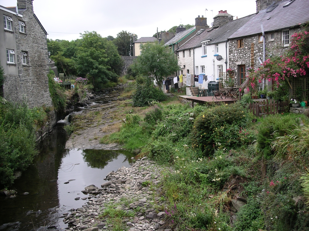
River Arth
The River Arth is a small river that rises in the hills near Bethania, Ceredigion, Wales, and runs west for 15 miles (24 km) and discharges into Cardigan...

Ffoshelyg
Ffoshelyg is a hamlet in Ceredigion, Wales. The estate at Ffoshelyg was once owned by Hugh Lloyd (fl. 1608). As of 2016 it is dominated by a family-run...
Tŷ Glyn
Tŷ Glyn or Tyglyn is a small village in the community of Ciliau Aeron, Ceredigion, Wales, which is 67.1 miles (107.9 km) from Cardiff and 180.5 miles...
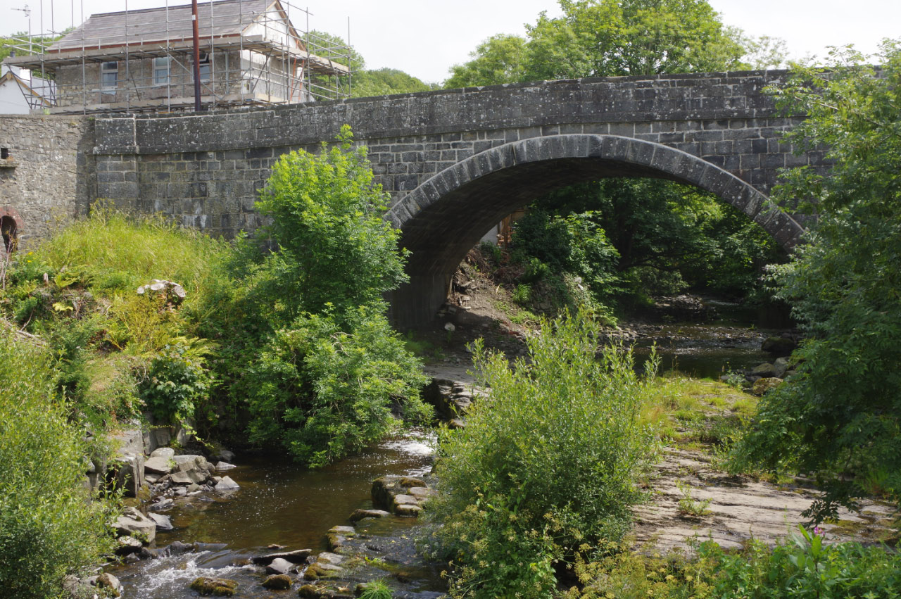
Pont Aberarth
Pont Aberarth, also known as the Llanddewi-Aberarth Bridge, is a single-arched grade II listed bridge, which spans the River Arth in the village of Aberarth...
Aberarth
Aberarth is a village in Ceredigion, Wales, in the community of Dyffryn Arth, on the southern end of Cardigan Bay between Aberystwyth and Cardigan at the...
Nearby Amenities
Located within 500m of 52.238596,-4.1980048Have you been to Allt Cwmerthig?
Leave your review of Allt Cwmerthig below (or comments, questions and feedback).