Monachty

Settlement in Cardiganshire

Wales

Monachty

The Church of St Padarn at Llanbadarn Viewed from the south.
The Church of St Padarn at Llanbadarn Credit: Peter Wood

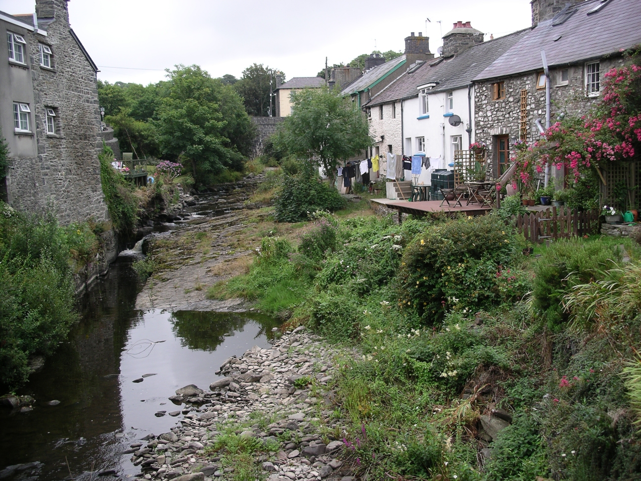
Monachty is a small coastal village located in the county of Cardiganshire, Wales. Situated on the western coast of the country, it overlooks the picturesque Cardigan Bay. With a population of around 200 residents, Monachty offers a serene and tranquil environment for both locals and visitors alike.

The village is known for its stunning natural beauty, with its pristine sandy beaches and rugged cliffs. It attracts nature enthusiasts and outdoor lovers who come to explore the area's scenic coastal paths and enjoy activities such as swimming, fishing, and walking.

Monachty is also renowned for its rich history and cultural heritage. The village has a strong connection to the Welsh language and is home to a number of traditional Welsh pubs and shops, where visitors can experience the local customs and traditions. The village's name itself translates to "place of the monks," reflecting its historical association with religious communities.

Despite its small size, Monachty offers a range of amenities for residents and tourists. These include a handful of charming bed and breakfasts, cafes serving delicious local cuisine, and a community center that hosts various events throughout the year.

Overall, Monachty is a hidden gem on the Welsh coast, offering a peaceful retreat for those seeking natural beauty, cultural immersion, and a slower pace of life.

If you have any feedback on the listing, please let us know in the comments section below.
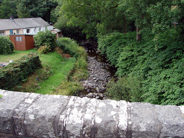
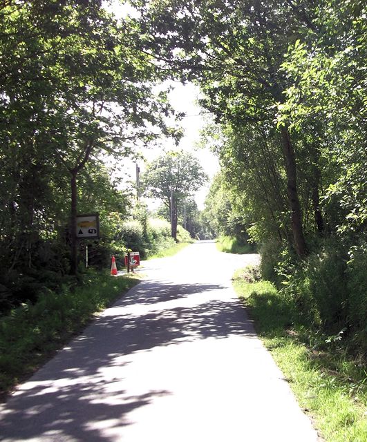
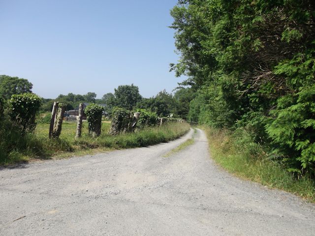
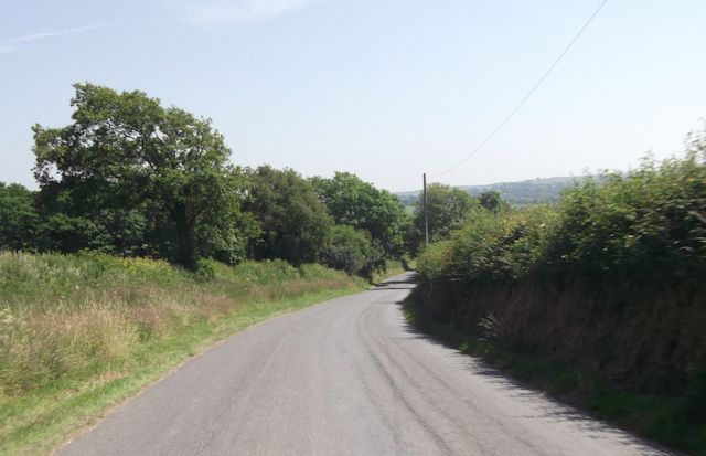
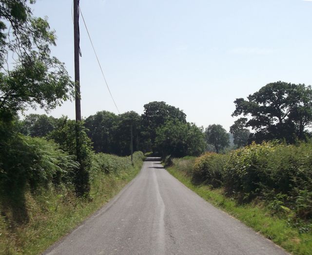
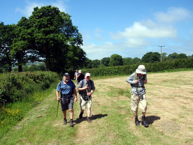
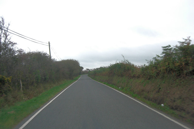
Monachty Images

Images are sourced within 2km of 52.236132/-4.192537 or Grid Reference SN5062. Thanks to Geograph Open Source API. All images are credited.

The Church of St Padarn at Llanbadarn Viewed from the south.
The Church of St Padarn at Llanbadarn
Viewed from the south.
Road (B4577) road leaving Pennant Looking eastward from near Ford.
Road (B4577) road leaving Pennant
Looking eastward from near Ford.
Afon Arth flowing through Pennant
B4577 south of Lluest-mawr It's a well maintained 'B' road set between high, well manicured hedges and it climbs determinedly from the coast, into this rather bleak upland landscape.
B4577 south of Lluest-mawr
It's a well maintained 'B' road set between high, well manicured hedges and it climbs determinedly from the coast, into this rather bleak upland landscape.
Eglwys Sant Padarn
Eglwys Sant Padarn
B4577 gives way to minor road In the centre of Pennant the east/west 'B' road yields to a minor north/south road with no name.
B4577 gives way to minor road
In the centre of Pennant the east/west 'B' road yields to a minor north/south road with no name.
Approaching crossroads near Ffos Helig
Road to Pennant from Ffos Helig crossroads
Minor road east of Caerfyrddin-fach
Caerfyrddin-fach entrance
Pen-lon-coed at crossroads
Minor road from Pennant North of Tynffynnon
Minor road from Pennant
North of Tynffynnon
Straight road just south of Coed
Llwybr Quarry Cottage Footpath Cerddwyr yn dilyn llwybr cyhoeddus i gyfeiriad Quarry Cottage.

Walkers following a public footpath in the direction of Quarry Cottage.
Llwybr Quarry Cottage Footpath
Cerddwyr yn dilyn llwybr cyhoeddus i gyfeiriad Quarry Cottage. Walkers following a public footpath in the direction of Quarry Cottage.
Pennant Crossroads Pennant is on the B4577 east of Aberarth; things seem to have been spruced up a little since <a href="https://www.geograph.org.uk/photo/2643441">SN5163 : B4577 gives way to minor road</a> was taken.
Pennant Crossroads
Pennant is on the B4577 east of Aberarth; things seem to have been spruced up a little since SN5163 : B4577 gives way to minor road was taken.
St Padarn Church, Pennant Although just to the west of Pennant village, the parish is Llanbadarn Trefeglwys a name that does not currently appear on Ordnance Survey maps. The church is dedicated to St Padarn, a sixth century bishop who was active in Ceredigion,and was rebuilt in 1856.
St Padarn Church, Pennant
Although just to the west of Pennant village, the parish is Llanbadarn Trefeglwys a name that does not currently appear on Ordnance Survey maps. The church is dedicated to St Padarn, a sixth century bishop who was active in Ceredigion,and was rebuilt in 1856.
B4577 south of Ynys-hir It's a well maintained 'B' road set between high hedges and it climbs determinedly from the coast, into a rather bleak, upland landscape.
B4577 south of Ynys-hir
It's a well maintained 'B' road set between high hedges and it climbs determinedly from the coast, into a rather bleak, upland landscape.
Ger / Near Cae Main Cerddwyr yn dilyn heol gerllaw anhedd-dy o'r enw Cae Main.

Walkers following a road near a property called Cae Main (trans. narrow field).
Ger / Near Cae Main
Cerddwyr yn dilyn heol gerllaw anhedd-dy o'r enw Cae Main. Walkers following a road near a property called Cae Main (trans. narrow field).
Show me another place!

Monachty is located at Grid Ref: SN5062 (Lat: 52.236132, Lng: -4.192537)

Unitary Authority: Ceredigion

Police Authority: Dyfed Powys

What 3 Words

///crazy.quote.symphony. Near Aberaeron, Ceredigion

Nearby Locations

Monachty Allt Cwmerthig

Related Wikis

Monachty

Monachty is a small village in the community of Dyffryn Arth, Ceredigion, Wales, which is 67.8 miles (109.1 km) from Cardiff and 180.4 miles (290.4 km...

Dinerth Castle

The Castle of Dinerth (Welsh: Castell Dineirth, Castell Dinerth, or Castell Allt Craig Arth) is a Welsh castle located near Aberarth, Ceredigion, west...

Pennant, Ceredigion

Pennant is a village in the community of Dyffryn Arth, Ceredigion, Wales. Pennant is represented in the Senedd by Elin Jones (Plaid Cymru) and is part...

Ffoshelyg

Ffoshelyg is a hamlet in Ceredigion, Wales. The estate at Ffoshelyg was once owned by Hugh Lloyd (fl. 1608). As of 2016 it is dominated by a family-run...

Tŷ Glyn

Tŷ Glyn or Tyglyn is a small village in the community of Ciliau Aeron, Ceredigion, Wales, which is 67.1 miles (107.9 km) from Cardiff and 180.5 miles...
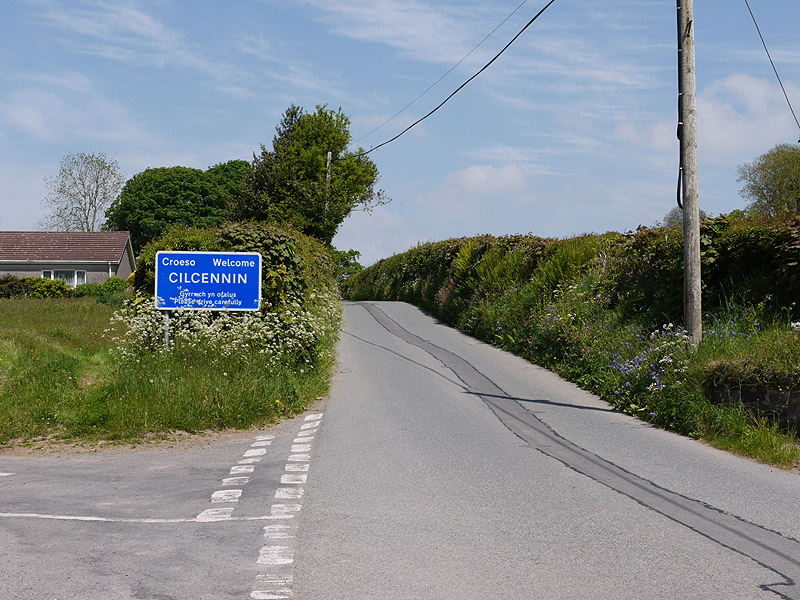
Cilcennin

Cilcennin is a village in the community of Ciliau Aeron, Ceredigion, west Wales. The River Aeron is to the southwest. == History == Cilcennin is the site...

River Arth

The River Arth is a small river that rises in the hills near Bethania, Ceredigion, Wales, and runs west for 15 miles (24 km) and discharges into Cardigan...

Crossways Halt railway station

Crossways Halt was a small railway station on the Aberayron branch of the Carmarthen to Aberystwyth Line in the Welsh county of Ceredigion serving the...

Nearby Amenities

Located within 500m of 52.236132,-4.192537
Monachty
Place: hamlet
Wikidata: Q16247536
Wikipedia: en:Monachty
Lat/Long: 52.2361282/-4.191547
Direction: 190
Generator Method: photovoltaic
Generator Output Electricity: yes
Generator Solar Modules: 17
Generator Source: solar
Generator Type: solar_photovoltaic_panel
Location: roof
Power: generator
Lat/Long: 52.2361989/-4.1915061
Man Made: utility_pole
Lat/Long: 52.2390641/-4.1926484
Man Made: utility_pole
Lat/Long: 52.2398781/-4.1892553
The data included in this document is from www.openstreetmap.org. The data is made available under ODbL.

Have you been to Monachty?

Leave your review of Monachty below (or comments, questions and feedback).