Allt Dolau-duon
Wood, Forest in Carmarthenshire
Wales
Allt Dolau-duon

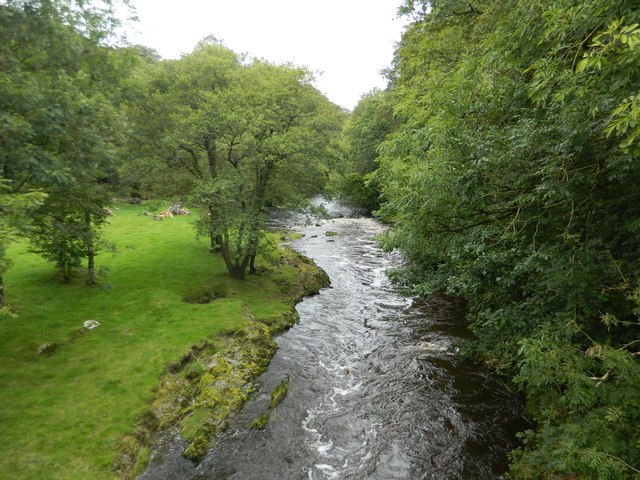
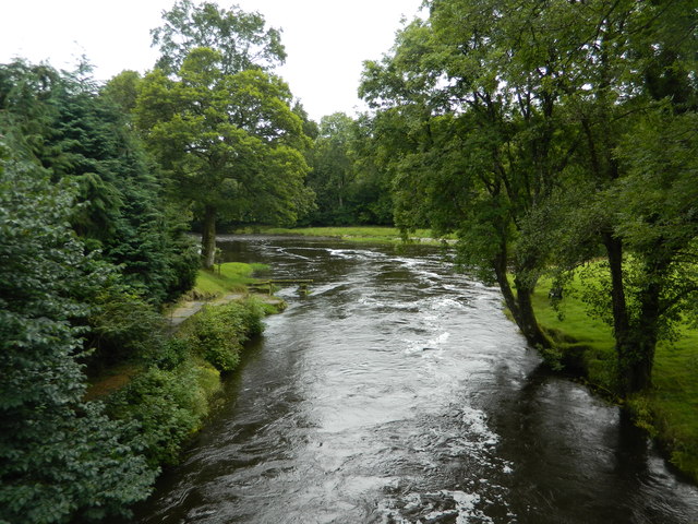
Allt Dolau-duon is a picturesque woodland located in Carmarthenshire, Wales. Spread across an area of approximately 100 hectares, this enchanting forest is a haven for nature enthusiasts and hikers alike. The name "Allt Dolau-duon" translates to "slope of the black meadows" in English, perfectly capturing the essence of this stunning landscape.
The woodland is primarily composed of native deciduous trees, such as oak, birch, and rowan, which create a dense canopy overhead. These trees provide a habitat for a diverse range of wildlife, including birds, mammals, and insects. Visitors to the forest may be lucky enough to spot species such as red kites, badgers, and various butterfly species.
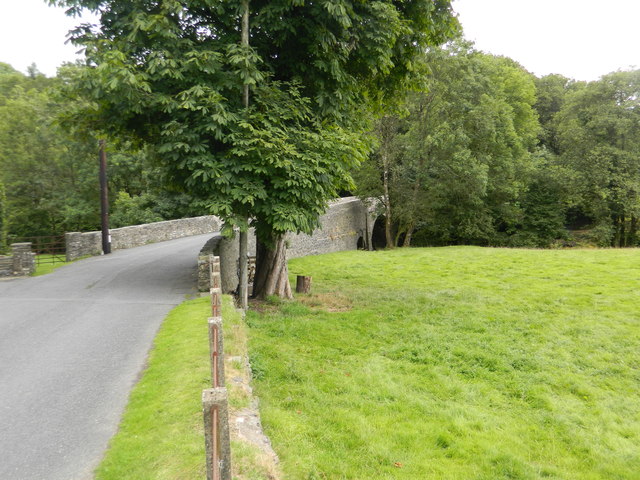
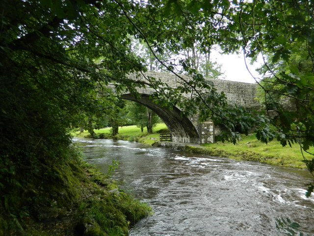
Several walking trails wind their way through the forest, offering visitors the opportunity to explore its beauty at their own pace. The trails vary in length and difficulty, catering to both casual strollers and experienced hikers. Along the way, walkers will encounter tranquil streams, vibrant wildflowers, and ancient stone walls, adding to the enchanting atmosphere of the wood.
Allt Dolau-duon is not only a natural wonder but also holds historical significance. The forest is known to have remnants of an Iron Age hillfort, indicating human activity in the area dating back thousands of years. This adds an extra layer of intrigue to the woodland, as visitors can immerse themselves in both natural and cultural heritage.
Overall, Allt Dolau-duon is a captivating woodland that offers a tranquil escape from the hustle and bustle of daily life. Whether for a leisurely walk or an exploration of its rich history, this forest is a must-visit destination for nature lovers and history enthusiasts.
If you have any feedback on the listing, please let us know in the comments section below.
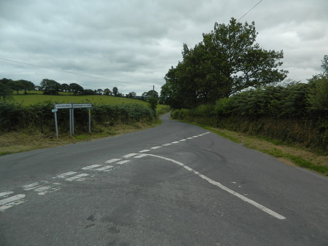
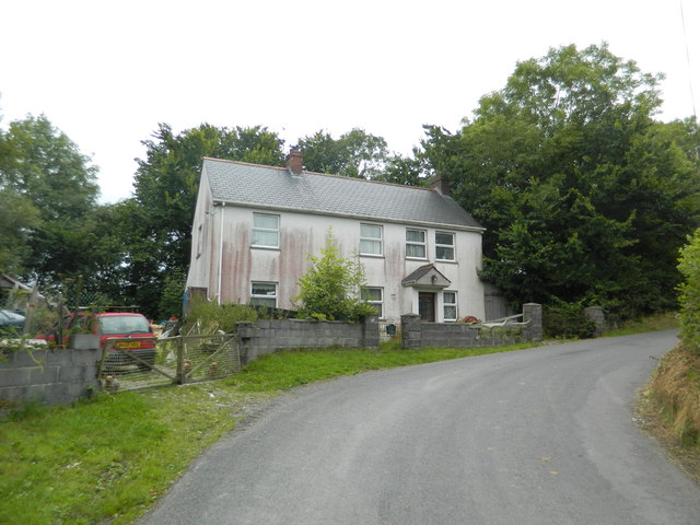
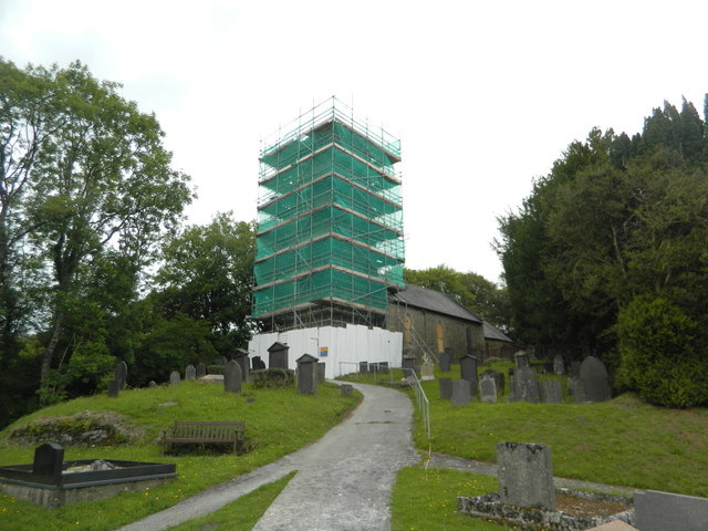
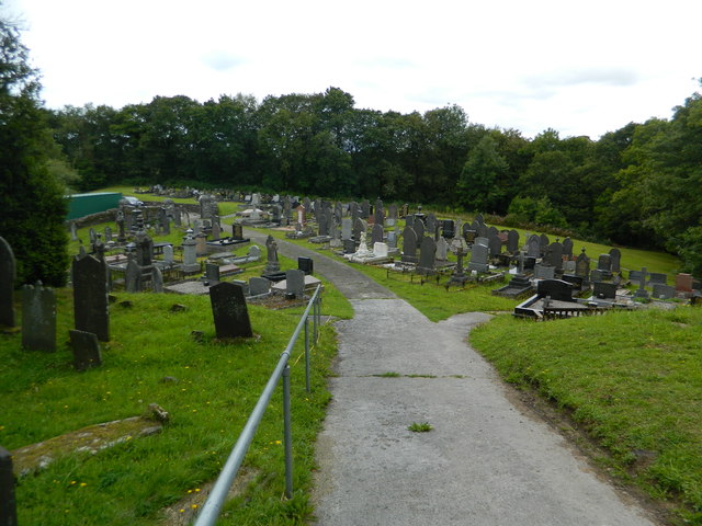
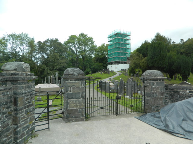
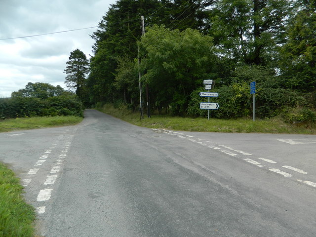
Allt Dolau-duon Images
Images are sourced within 2km of 52.052151/-4.2038767 or Grid Reference SN4841. Thanks to Geograph Open Source API. All images are credited.


Allt Dolau-duon is located at Grid Ref: SN4841 (Lat: 52.052151, Lng: -4.2038767)
Unitary Authority: Carmarthenshire
Police Authority: Dyfed Powys
What 3 Words
///afford.hoping.throwaway. Near Pencader, Carmarthenshire
Nearby Locations
Related Wikis

Aber-giar
Aber-giar (Welsh: Abergiâr) is a village in the community of Llanllwni in Carmarthenshire, Wales.
Rhuddlan, Ceredigion
Rhuddlan, Ceredigion is a small village in the community of Llanwenog, Ceredigion, Wales. Rhuddlan is represented in the Senedd by Elin Jones (Plaid Cymru...

Maesycrugiau railway station
Maesycrugiau railway station also Maes-y-crugiau railway station served the hamlet and rural locale of Maesycrugiau near Llanllwni on the Carmarthen Aberystwyth...
Highmead
Highmead is a small village in the community of Llanwenog, Ceredigion, Wales, which is 59.2 miles (95.3 km) from Cardiff and 177.7 miles (286 km) from...
Nearby Amenities
Located within 500m of 52.052151,-4.2038767Have you been to Allt Dolau-duon?
Leave your review of Allt Dolau-duon below (or comments, questions and feedback).