Coed Mawr
Wood, Forest in Caernarfonshire
Wales
Coed Mawr

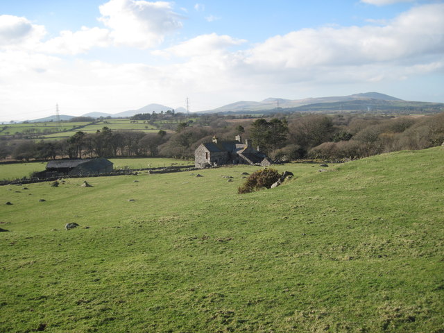
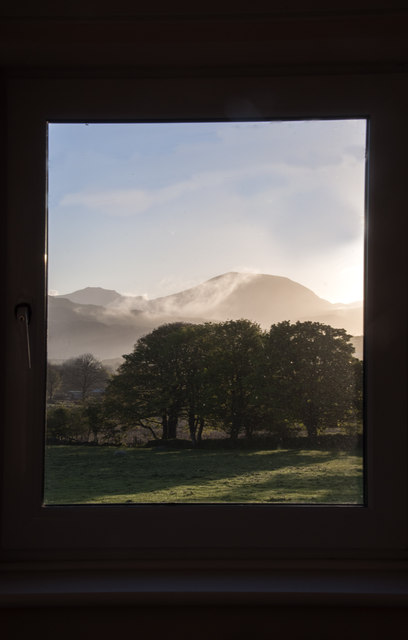
Coed Mawr, located in Caernarfonshire, Wales, is a picturesque woodland area known for its extensive forest cover. Covering a vast expanse of approximately [insert size], this enchanting forest is a popular destination for nature enthusiasts, hikers, and wildlife lovers.
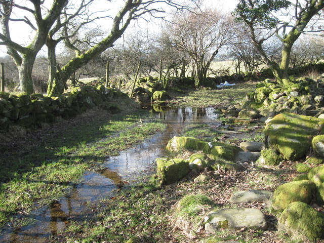
The woodland is dominated by a diverse range of tree species, including oak, beech, ash, and birch, among others. The dense canopy of these trees provides a cool and serene ambience, making it a perfect escape from the hustle and bustle of city life. The forest floor is adorned with an array of wildflowers, adding a splash of color to the landscape.
Coed Mawr is not only visually appealing but also serves as a vital habitat for numerous wildlife species. The forest is home to a variety of birds, such as woodpeckers, owls, and warblers, which can be spotted and heard throughout the year. Small mammals, including squirrels and rabbits, can also be observed scurrying among the trees.
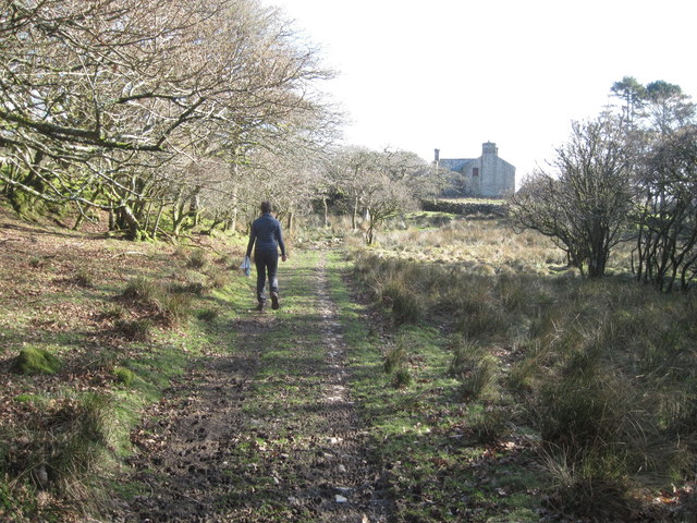
The woodland offers a network of well-maintained trails, allowing visitors to explore its beauty at their own pace. These paths wind through the forest, offering breathtaking views of ancient trees, tranquil streams, and occasional glimpses of wildlife. For those seeking a more immersive experience, camping facilities are available, providing an opportunity to spend a night under the starry sky.
Coed Mawr is not only a natural treasure but also holds historical significance. The forest has witnessed centuries of human activity, including timber harvesting and charcoal production in the past. Today, it stands as a protected area, preserving its ecological importance and offering a delightful retreat for all who venture into its embrace.
If you have any feedback on the listing, please let us know in the comments section below.
Coed Mawr Images
Images are sourced within 2km of 52.937493/-4.2491671 or Grid Reference SH4840. Thanks to Geograph Open Source API. All images are credited.


Coed Mawr is located at Grid Ref: SH4840 (Lat: 52.937493, Lng: -4.2491671)
Unitary Authority: Gwynedd
Police Authority: North Wales
What 3 Words
///corporate.enacted.tanked. Near Criccieth, Gwynedd
Nearby Locations
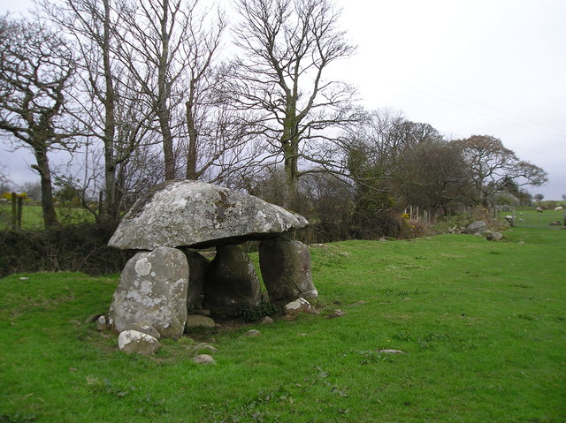
Related Wikis

Eifionydd
Eifionydd (Welsh pronunciation: [ɛiˈvjɔnɨð]) is an area in north-west Wales covering the south-eastern part of the Llŷn Peninsula from Porthmadog to just...

Tŷ Newydd
Tŷ Newydd (Welsh: [ˈtɨː ˈnɛuɨð]) is a historic house in Llanystumdwy, near Criccieth, in Gwynedd, north-west Wales. Since 1990 it has housed the National...
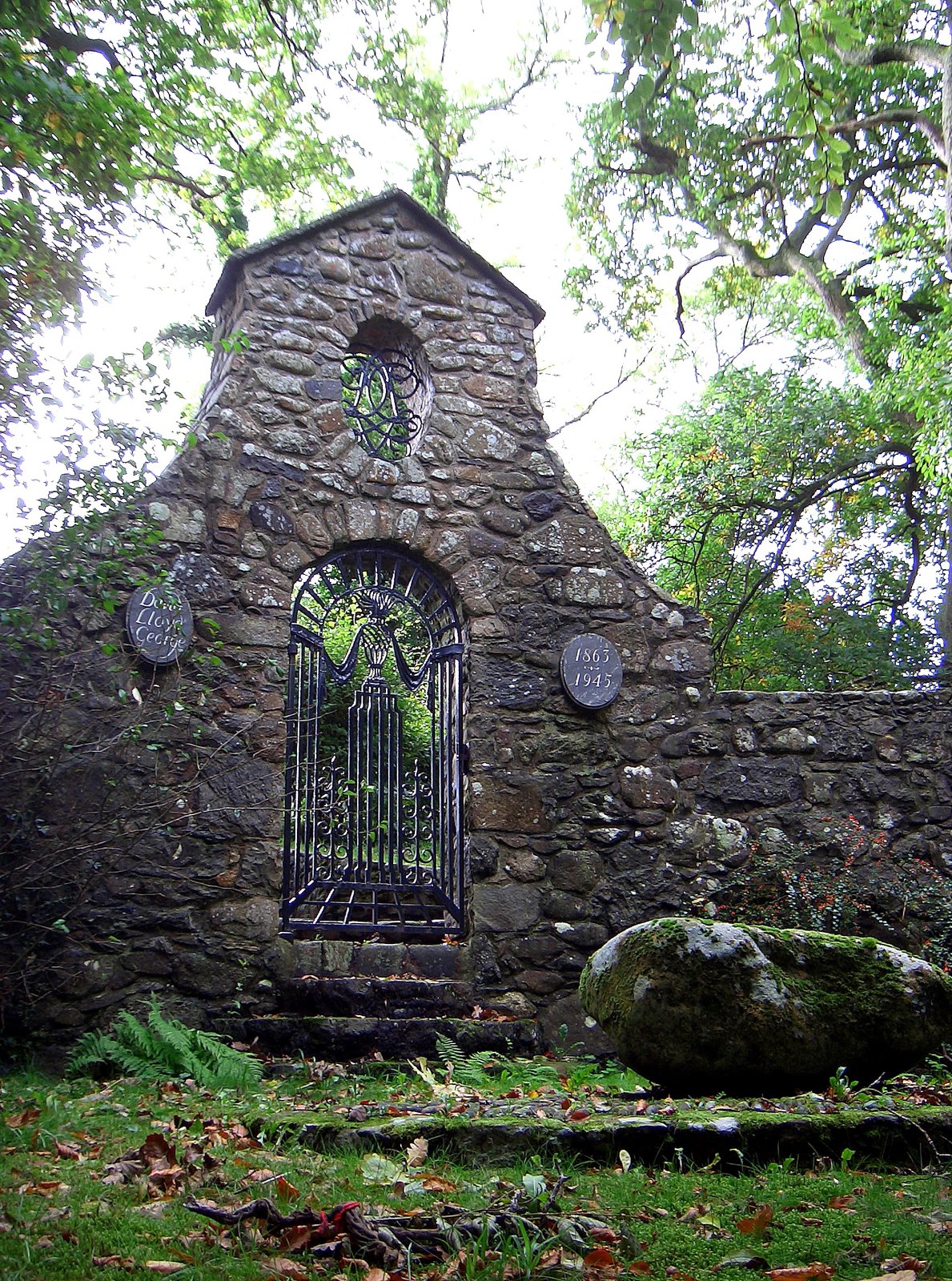
Grave of David Lloyd George
The Grave of David Lloyd George, stands on a bank of the Afon Dwyfor in the village of Llanystumdwy, Gwynedd, Wales. It commemorates Lloyd George who grew...

Llanystumdwy
Llanystumdwy ([ɬanɪstɪmdʊɨ]) is a predominantly Welsh-speaking village, community and electoral ward on the Llŷn Peninsula in Wales. It lies in the traditional...
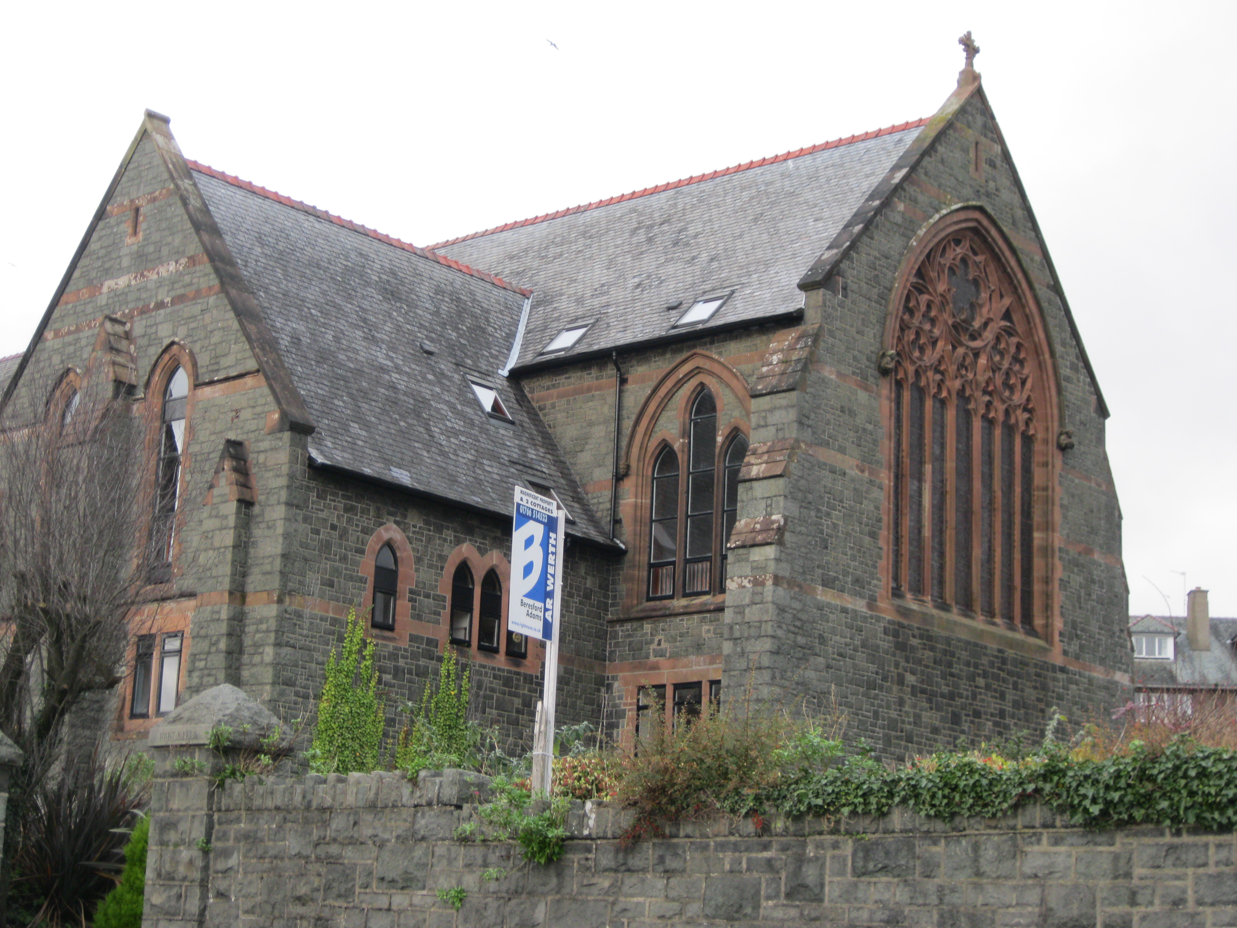
St Deiniol's Church, Criccieth
St Deiniol's Church (Welsh: Eglwys Deiniol Sant), was a church in Criccieth, Gwynedd, Wales (grid reference SH500381). It was built between 1884 and 1887...

Criccieth railway station
Criccieth railway station serves the seaside town of Criccieth on the Llŷn Peninsula in Gwynedd, Wales. == History == The station was opened on 2 September...
Criccieth
Criccieth (Welsh: Cricieth [ˈkrɪkjɛθ] ) is a town and community in Gwynedd, Wales, on the boundary between the Llŷn Peninsula and Eifionydd. The town is...

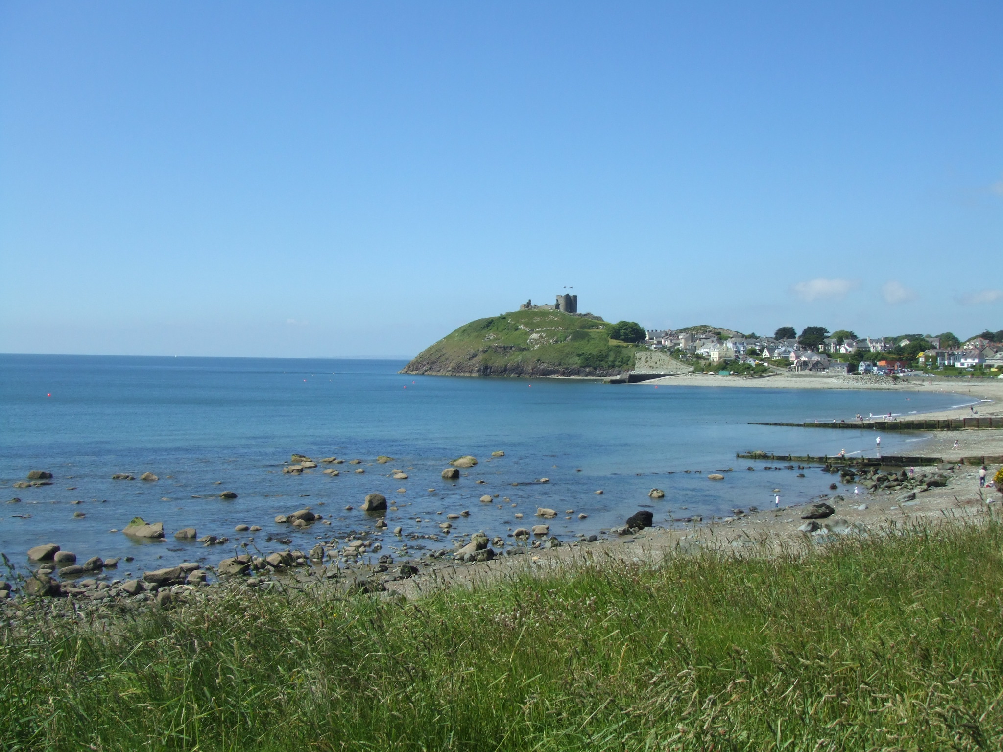
Criccieth Castle
Criccieth Castle (Welsh: Castell Cricieth; [kastɛɬ ˈkrɪkjɛθ]) is a ruined thirteenth-century castle in Criccieth, Gwynedd, Wales. It is located on a rocky...
Nearby Amenities
Located within 500m of 52.937493,-4.2491671Have you been to Coed Mawr?
Leave your review of Coed Mawr below (or comments, questions and feedback).