Allt Cwm Howell
Wood, Forest in Carmarthenshire
Wales
Allt Cwm Howell
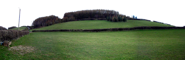
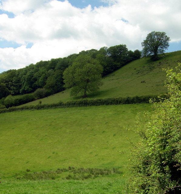
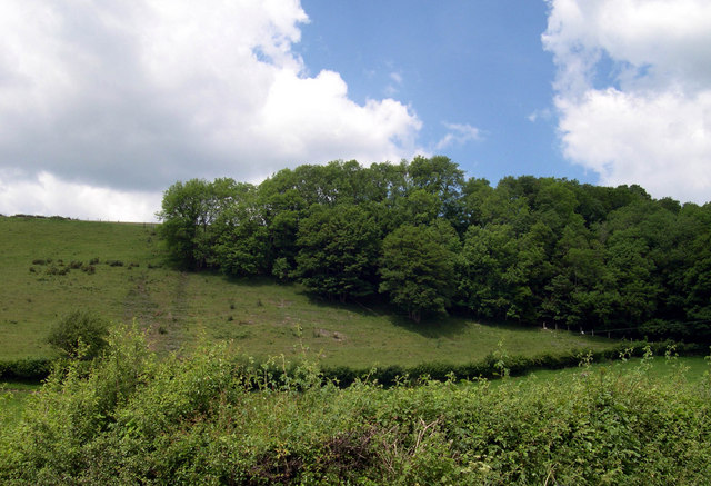
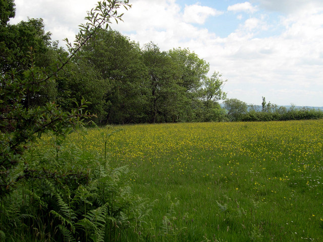
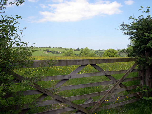
Allt Cwm Howell is a picturesque woodland area located in Carmarthenshire, Wales. Spread across an approximate area of 50 hectares, it is nestled in the heart of the Welsh countryside, offering a serene and tranquil environment for nature lovers and outdoor enthusiasts.
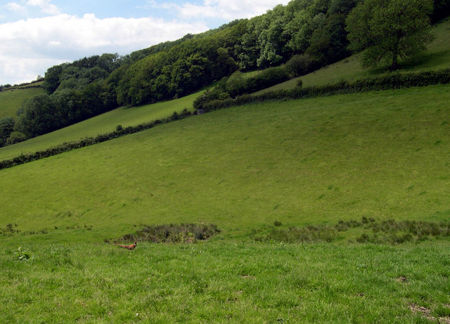
The woodland is predominantly composed of native tree species, such as oak, beech, and birch, providing a diverse and thriving ecosystem. With its lush greenery and a wide variety of flora and fauna, it is a haven for wildlife, including deer, badgers, and a rich array of bird species. Visitors can often spot red kites soaring above the treetops, adding to the area's natural beauty.
Allt Cwm Howell offers a range of walking trails and paths, suitable for both casual strollers and avid hikers. The trails wind their way through the woodland, offering breathtaking views of the surrounding landscape and opportunities to explore the area's natural wonders. In spring, the forest floor is carpeted with bluebells, creating a stunning visual spectacle.
The woodland is also home to a small stream that meanders through the trees, adding to the tranquility of the environment. The sound of running water provides a soothing backdrop, enhancing the overall sensory experience.
Allt Cwm Howell is a popular destination for nature enthusiasts, photographers, and those seeking a peaceful retreat in nature. Its accessibility and natural beauty make it an ideal location for a leisurely stroll, a family picnic, or simply to immerse oneself in the wonders of the Welsh countryside.
If you have any feedback on the listing, please let us know in the comments section below.
Allt Cwm Howell Images
Images are sourced within 2km of 51.895877/-4.2012911 or Grid Reference SN4824. Thanks to Geograph Open Source API. All images are credited.
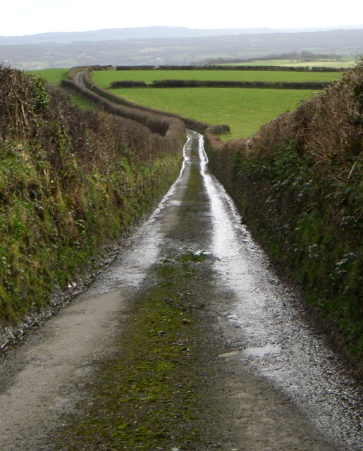

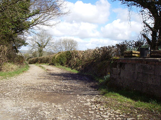

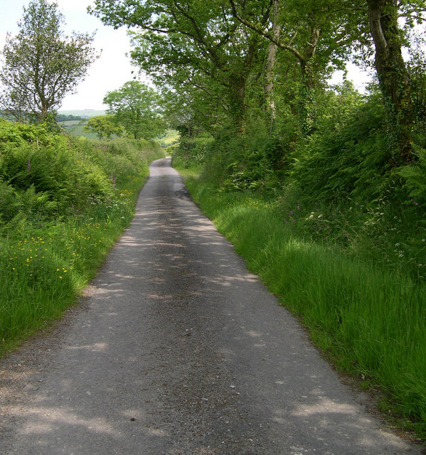
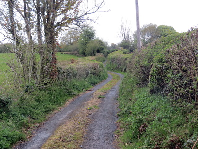
![Llwybr Glan-carw / Glan-carw path Llwybr cyhoeddus yn mynd i gyfeiriad Glan-carw.
A public footpath heading in the direction of Glan-carw (trans. bank of the deer [stream]).](https://s0.geograph.org.uk/geophotos/06/82/34/6823480_a7806507.jpg)

Allt Cwm Howell is located at Grid Ref: SN4824 (Lat: 51.895877, Lng: -4.2012911)
Unitary Authority: Carmarthenshire
Police Authority: Dyfed Powys
What 3 Words
///steer.spine.grapevine. Near Llanfynydd, Carmarthenshire
Nearby Locations
Related Wikis

Cae Cwm-tywyll
Cae Cwm-tywyll is an unimproved hay meadow that is a Site of Special Scientific Interest in Carmarthenshire, Wales. == See also == List of Sites of Special...
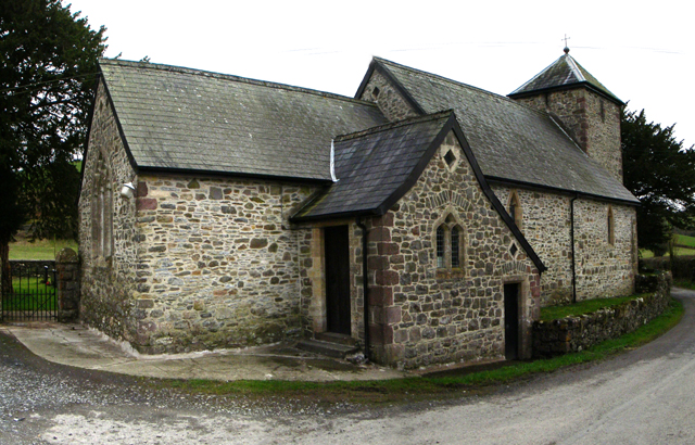
Llanfihangel-uwch-Gwili
Llanfihangel-uwch-Gwili is a village in Carmarthenshire, Wales. The church is one of many in Wales dedicated to Saint Michael the Archangel. == References ==

Nantgaredig
Nantgaredig is a village in Carmarthenshire, Wales. It is about 4 miles (6.4 km) east of the county town of Carmarthen on the A40 in the parish of Llanegwad...
Mynydd Ystyfflau-Carn
Mynydd Ystyfflau-Carn is a Site of Special Scientific Interest in Carmarthenshire, Wales. == See also == List of Sites of Special Scientific Interest in...
Nearby Amenities
Located within 500m of 51.895877,-4.2012911Have you been to Allt Cwm Howell?
Leave your review of Allt Cwm Howell below (or comments, questions and feedback).