Allt Cae-glâs

Wood, Forest in Cardiganshire

Wales

Allt Cae-glâs

Harvesting silage, between Llanwenog and  Brynteg
Harvesting silage, between Llanwenog and Brynteg Credit: John Lord

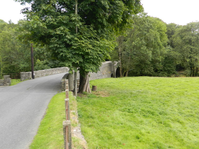
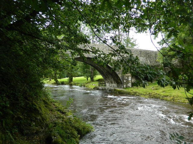
Allt Cae-glâs is a picturesque wood located in Cardiganshire, Wales. It is nestled in the lush countryside, surrounded by rolling hills and stunning landscapes. This enchanting forest covers an area of approximately 100 acres, making it a popular destination for nature enthusiasts and hikers.

The wood is predominantly composed of native Welsh tree species, such as oak, ash, and beech, creating a diverse and vibrant ecosystem. The dense canopy of trees provides a tranquil and shaded environment, perfect for those seeking a peaceful retreat from the hustle and bustle of everyday life.

As visitors explore Allt Cae-glâs, they will encounter a network of well-maintained footpaths that wind through the forest. These paths offer stunning views of the surrounding countryside and are suitable for both leisurely walks and more challenging hikes.

The wood is also home to a variety of wildlife, including deer, foxes, and a plethora of bird species. Birdwatchers can delight in spotting rare and colorful birds, such as the red kite and the pied flycatcher, among others.

Throughout the year, Allt Cae-glâs hosts a range of events and activities for visitors to enjoy. From guided nature walks to educational programs on conservation, there is always something to engage and inspire visitors of all ages.

Overall, Allt Cae-glâs is a true gem in the heart of Cardiganshire. Its natural beauty and diverse ecosystem make it a must-visit destination for those seeking a connection with nature and a tranquil escape from the modern world.

If you have any feedback on the listing, please let us know in the comments section below.

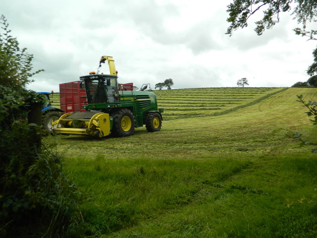
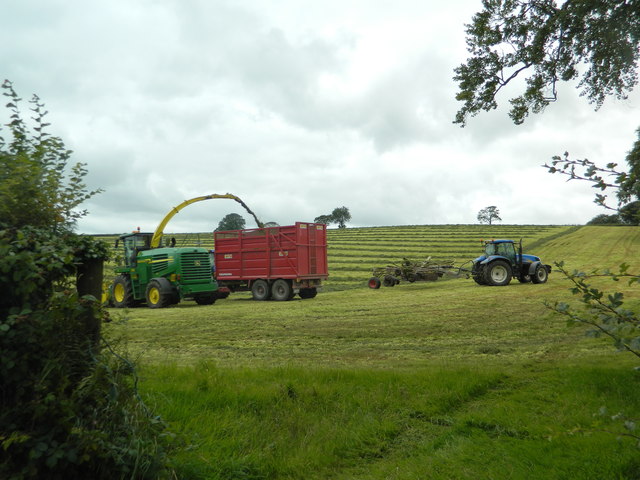
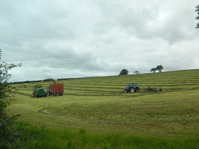
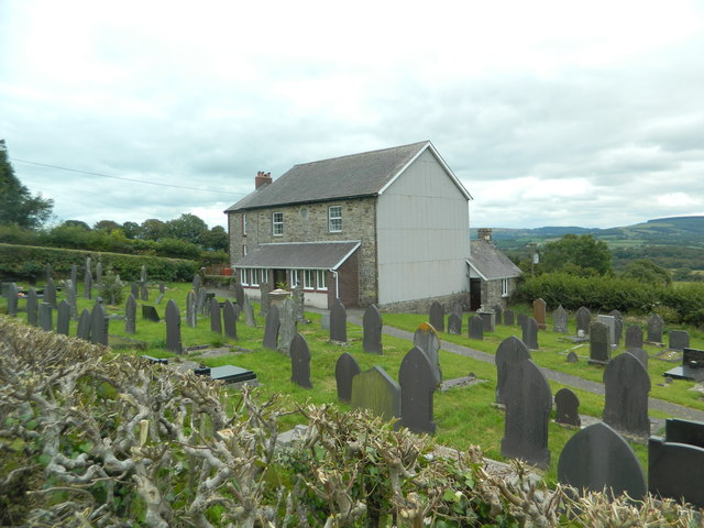
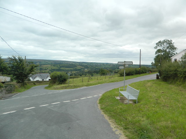
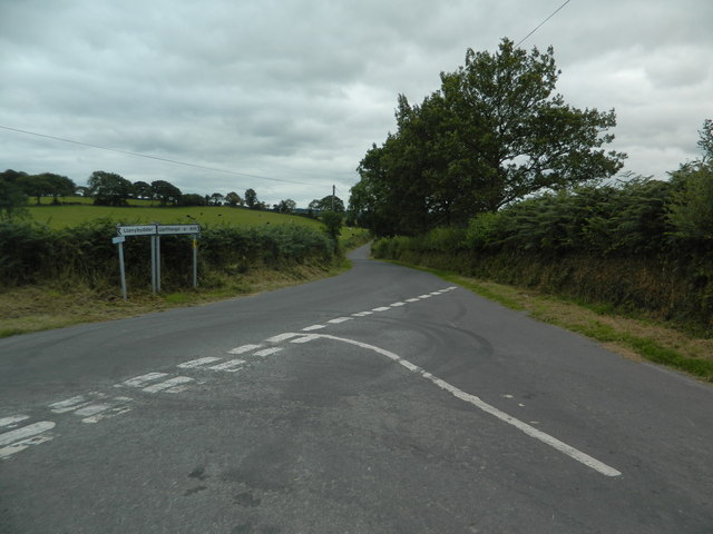
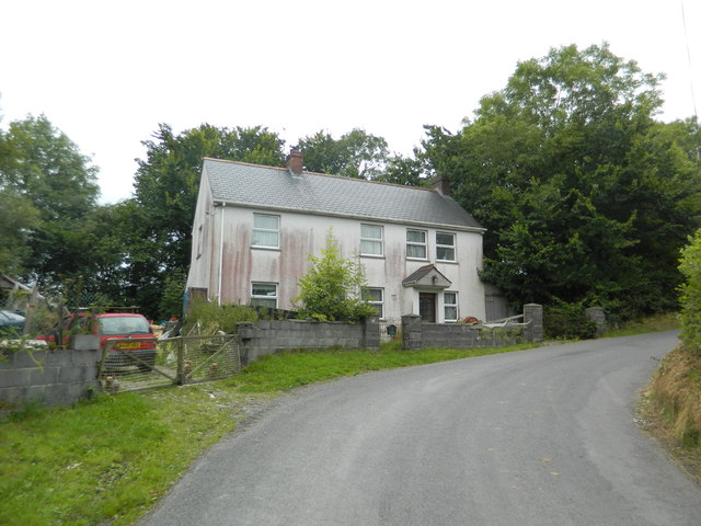
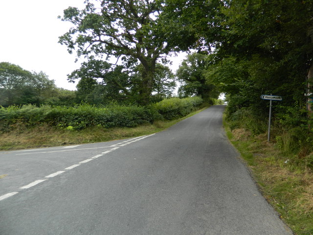
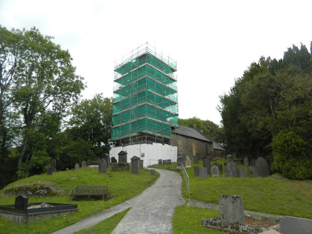
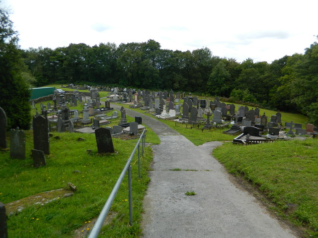
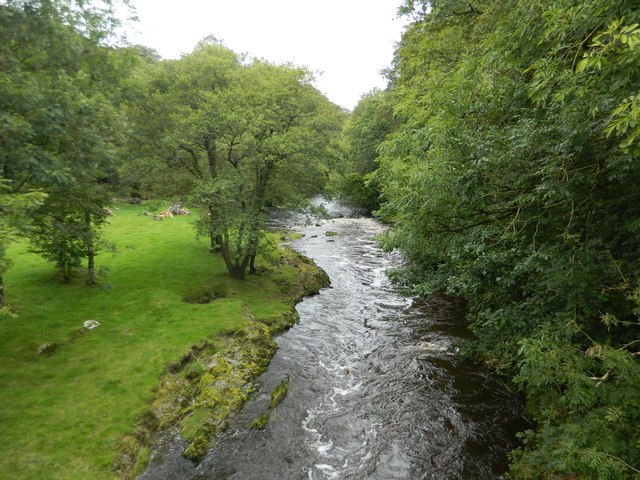
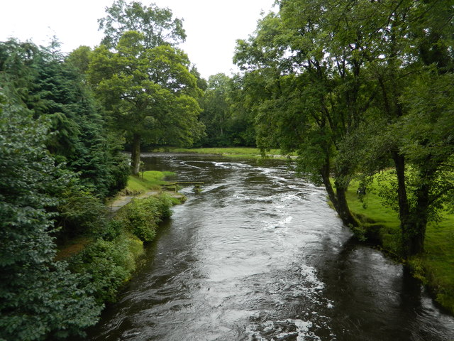
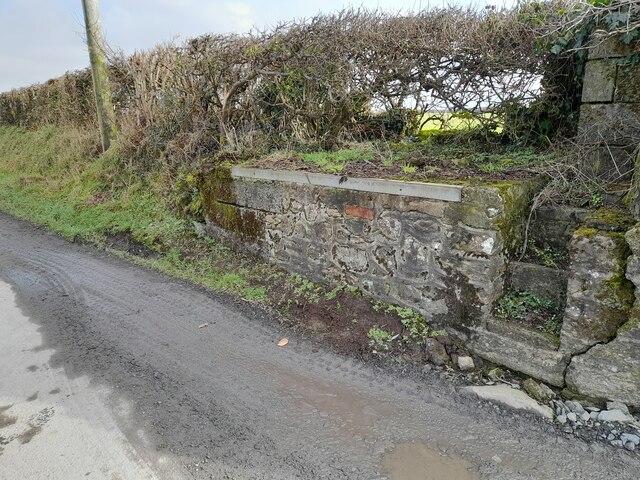
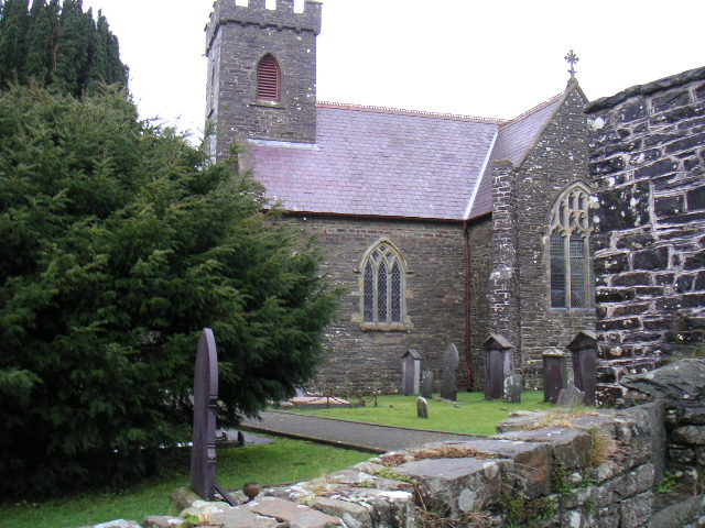
Allt Cae-glâs Images

Images are sourced within 2km of 52.065944/-4.2273751 or Grid Reference SN4743. Thanks to Geograph Open Source API. All images are credited.

Harvesting silage, between Llanwenog and  Brynteg
Harvesting silage, between Llanwenog and Brynteg
Graveyard and converted chapel, Brynteg
Crossroads, Brynteg
Crossroads, Brynteg
Road junction at Allt-fechan
Pant-yr-emen,  Cwm College
Pant-yr-emen, Cwm College
At the turn-off for Maesycrugiau
Eglwys Sant Luc, Maesycrugiau, Llanllwni Apparently being repaired.
Eglwys Sant Luc, Maesycrugiau, Llanllwni
Apparently being repaired.
Graveyard, Maesycrugiau
The River Teifi at Maesycrugiau
Road bridge over the Teifi at Maesycrugiau
The Teifi flowing under the bridge at Maesycrugiau
Eglwys Sant Luc, Maesycrugiau, Llanllwni
Ordnance Survey Rivet This OS rivet can be found on the churn stand at the entrance to Cors-y-fran. It marks a point 202.393m above mean sea level. <a title="https://www.geograph.org.uk/photo/7400859" href="https://www.geograph.org.uk/photo/7400859">Link</a>
Ordnance Survey Rivet
This OS rivet can be found on the churn stand at the entrance to Cors-y-fran. It marks a point 202.393m above mean sea level. Link
Churn Stand There is an Ordnance Survey rivet on the top of the stand. <a title="https://www.geograph.org.uk/photo/7400858" href="https://www.geograph.org.uk/photo/7400858">Link</a>
Churn Stand
There is an Ordnance Survey rivet on the top of the stand. Link
Ordnance Survey Cut Mark This OS cut mark can be found on the concrete post at the entrance to Cwm-Einon. It marks a point 200.695m above mean sea level.
Ordnance Survey Cut Mark
This OS cut mark can be found on the concrete post at the entrance to Cwm-Einon. It marks a point 200.695m above mean sea level.
Show me another place!

Allt Cae-glâs is located at Grid Ref: SN4743 (Lat: 52.065944, Lng: -4.2273751)

Unitary Authority: Ceredigion

Police Authority: Dyfed Powys

What 3 Words

///wires.germinate.swinging. Near Llandysul, Ceredigion

Nearby Locations

Allt Cae-glâs

Related Wikis

Nearby Amenities

Located within 500m of 52.065944,-4.2273751
Direction: SSW
Generator Method: photovoltaic
Generator Output Electricity: yes
Generator Solar Modules: 16
Generator Source: solar
Generator Type: solar_photovoltaic_panel
Location: roof
Power: generator
Lat/Long: 52.066795/-4.2243236
Direction: ESE
Generator Method: photovoltaic
Generator Output Electricity: yes
Generator Solar Modules: 16
Generator Source: solar
Generator Type: solar_photovoltaic_panel
Location: roof
Power: generator
Lat/Long: 52.0666417/-4.2245798
Man Made: utility_pole
Lat/Long: 52.0666467/-4.225451
Man Made: utility_pole
Lat/Long: 52.0649586/-4.2248112
The data included in this document is from www.openstreetmap.org. The data is made available under ODbL.

Have you been to Allt Cae-glâs?

Leave your review of Allt Cae-glâs below (or comments, questions and feedback).